This trip started via the Edmonds/Kingston ferry, the most convenient way for me to cross Puget Sound. That trip is shown on the Hurricane Ridge page.
The first part of the journey, through to Port Angeles, is through both rural and some urban communities. After Port Angeles, the road forks; Highway 101 heads inland towards Forks, whereas State Route 112 heads along the coast, eventually meeting SR 113 which continues on to Neah Bay.
As I was travelling in late September, the heat of summer had finished. Indeed, I could tell when I was nearing the water, as the temperature dropped noticably. I even had the heated grips on the bike turned on several times.

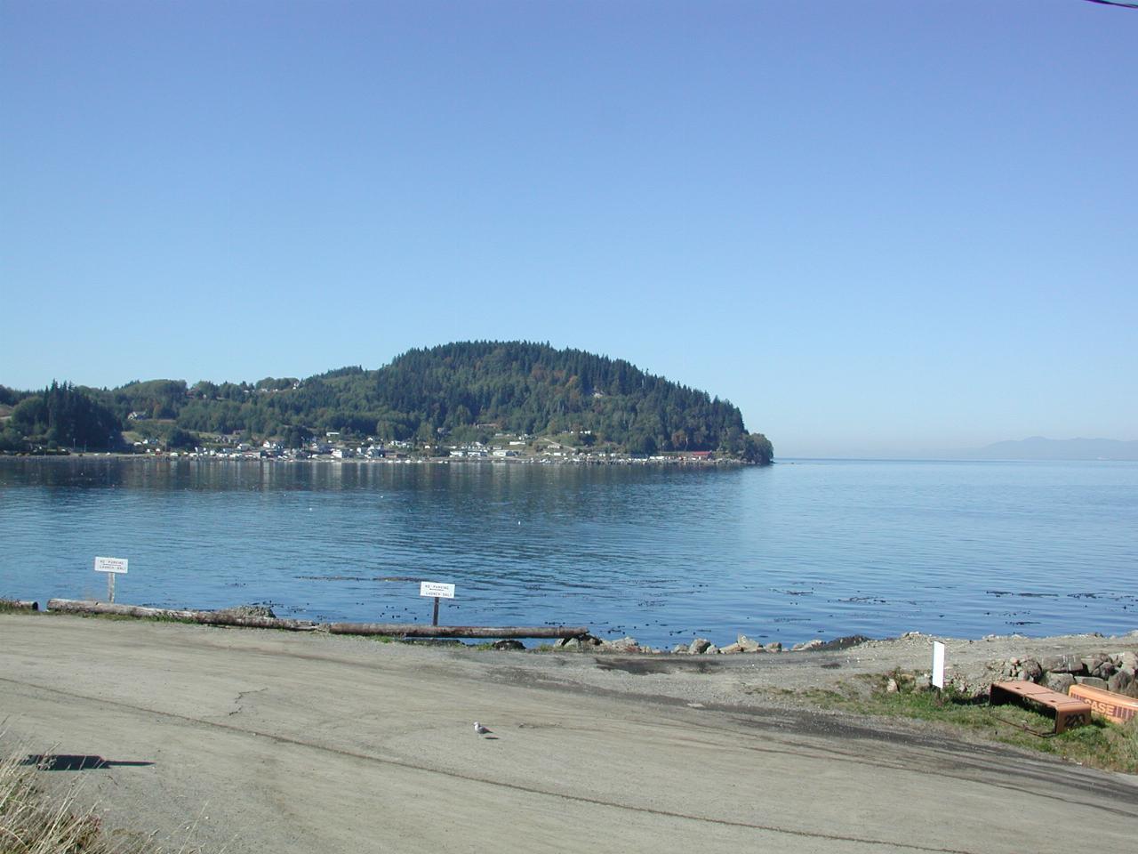
I stopped for lunch at the BreakWater Cafe, in beautiful Clallam Bay. This was the view from across the street, looking west towards Sekiu, situated on Sekiu Point. On the far right of the picture is the coastline of Vancouver Island, part of British Columbia.
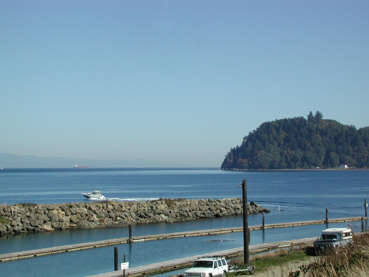
Same location, looking east, showing the breakwater, after which I presume the cafe was named, and Slip Point. There is also a ship, just visible above the boat leaving the anchorage. This is the Strait of Juan de Fuca, the main waterway into Vancouver, Seattle and Tacoma.
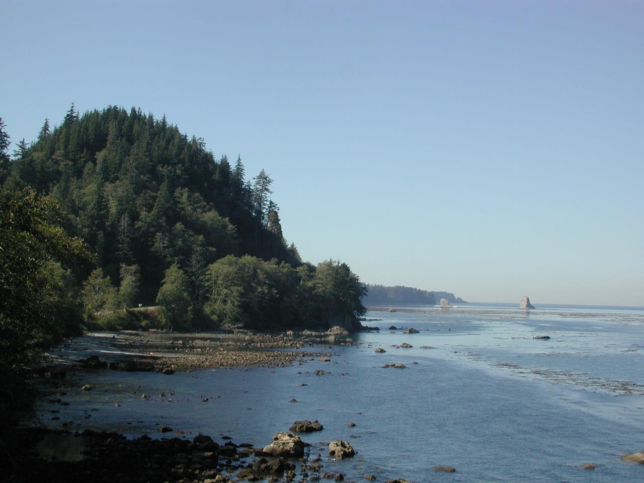
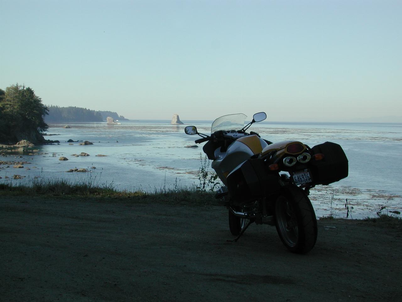
Somewhere west of Clallam Bay is about as precise as it comes. The rocks "stranded" in the water are a common feature of coastal Washington state. This view is looking west.
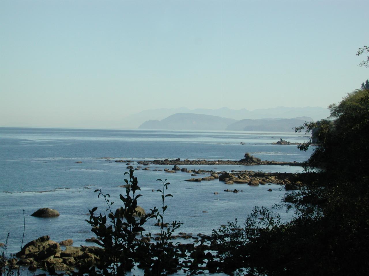
Same location (one of the few areas along the road to pull off safely), but looking east, back towards Clallum Bay.
Not a place to ride off in the wrong direction!