Continuing west leads to Neah Bay and the Makah Nation. (Native American tribes are considered soverign nations under treatites signed with the US Government; as such, they enjoy a certain amount of independence not available to other US citizens).
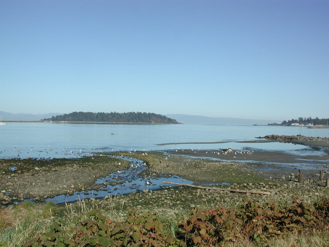
While the settlement of Neah Bay is not especially attractive to photograph, I did snap this view of the bay. The island is Waadah Island, now joined to the mainland by a breakwater. Neah Bay is also important as a Coast Guard station. The land on the horizon is, again, Vancouver Island.

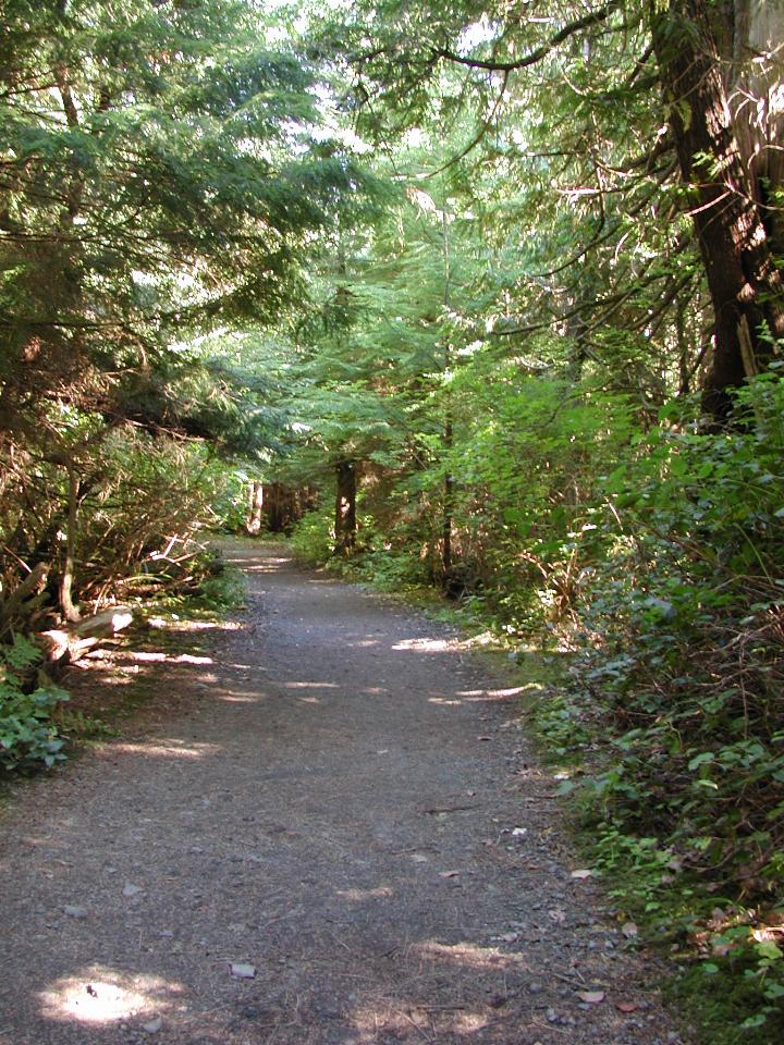
The walking path. Note that the vegetation is quite thick, and the scene is not as bright as the camera captures it.
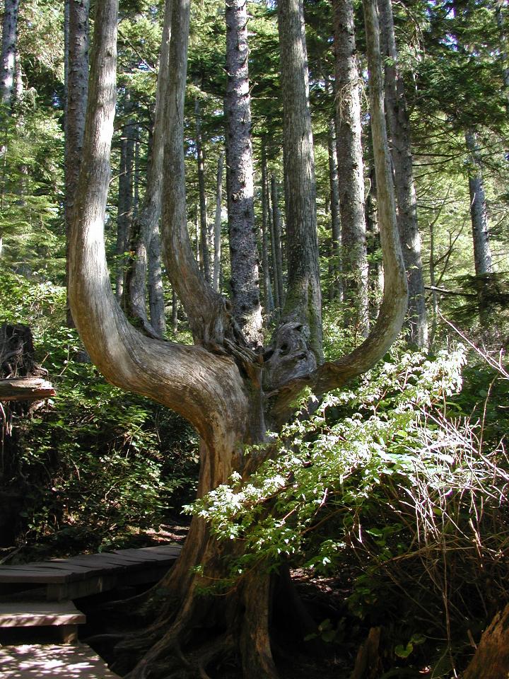
I think this is one tree, although after the Hoh rainforest, I'm not so sure. Whatever, it's obviously had an interesting history. This part of the coast regularly receives large amounts of rain, and severe winds.
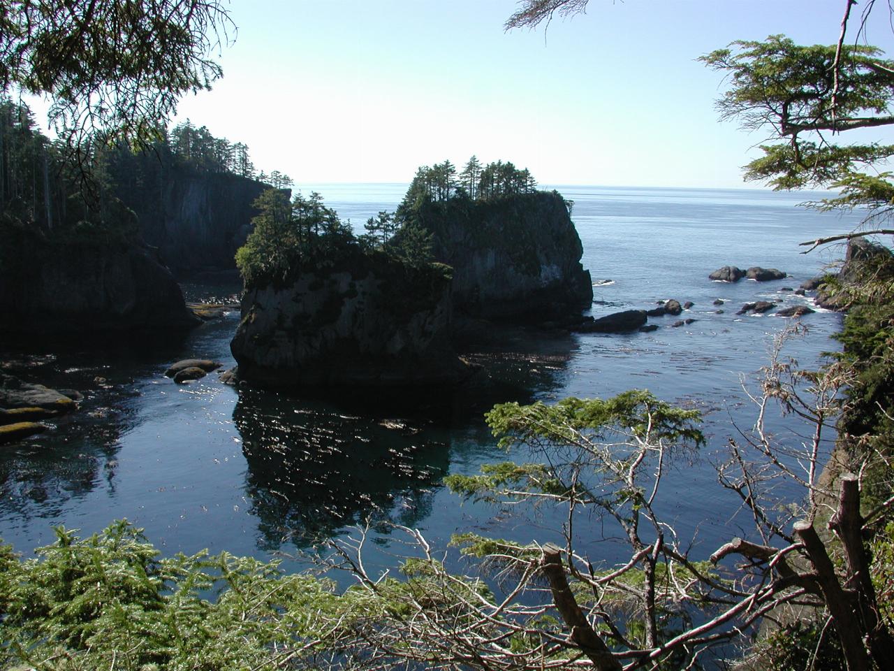
Clearly not a windy day. Cape Flattery is on the right of this image; these are just more of the islands along the coast.
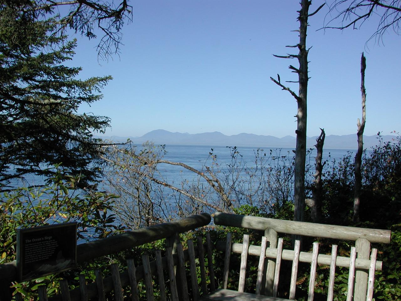
Vancouver Island, probably somewhere between Port Renfrew and Clo-oose. The trail to the Cape is well maintained, thanks to the Makah Nation.
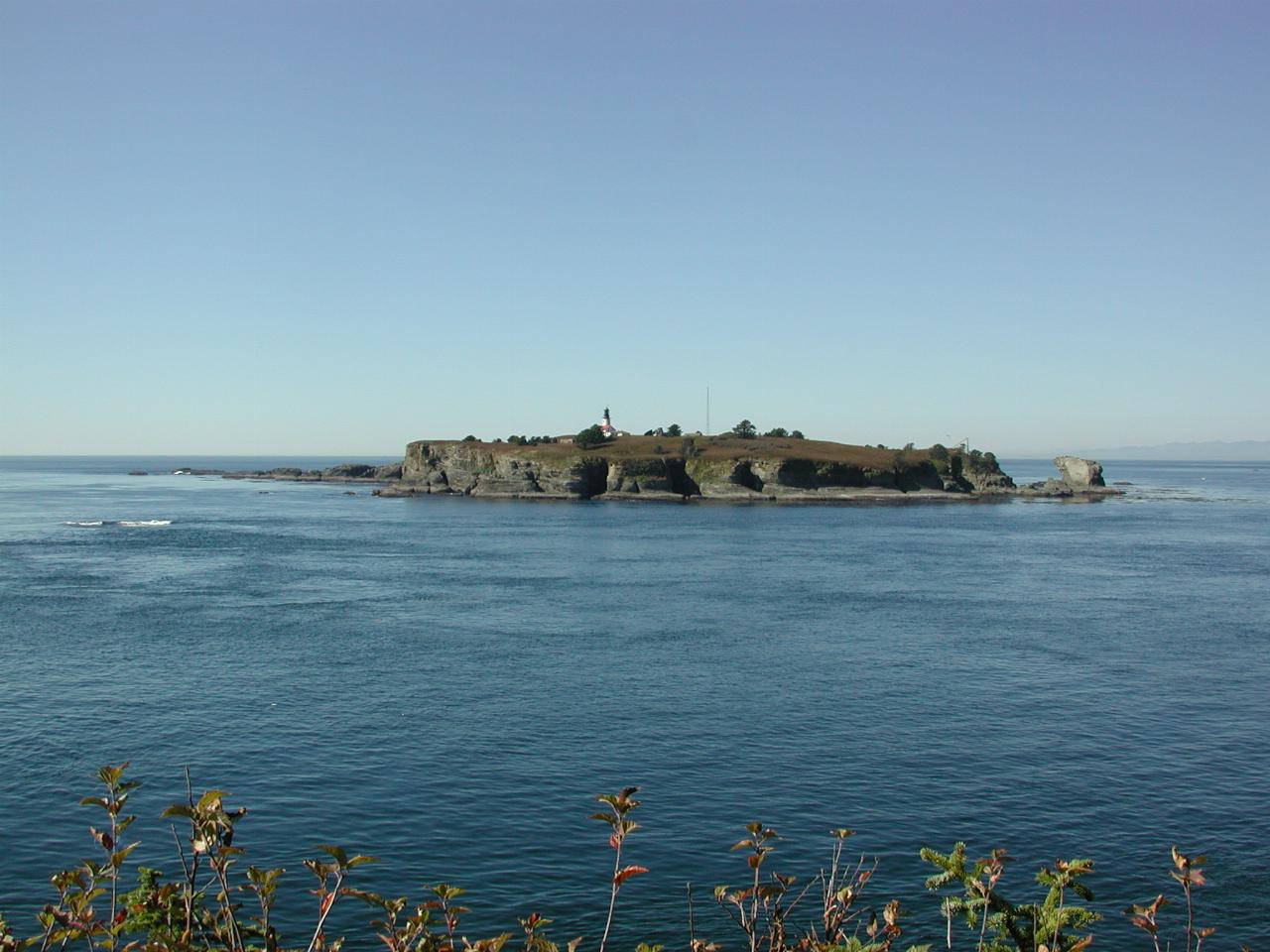
Tatoosh Island, which is just off shore from the Cape, and is the lighthouse guarding the southern entrance to the Strait of Juan de Fuca.
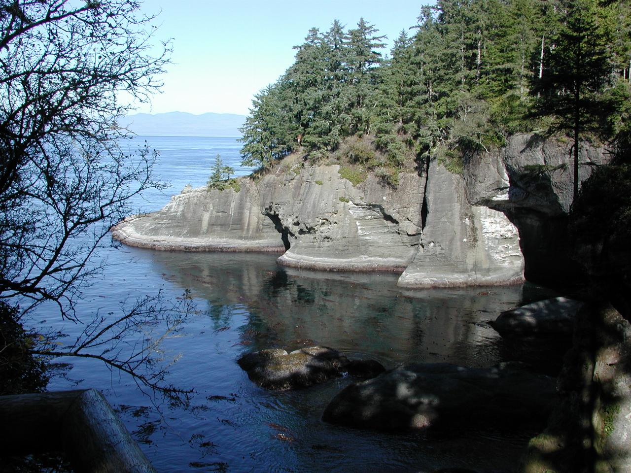
More of the coast line, looking north, and showing several caves, carved by the sea.
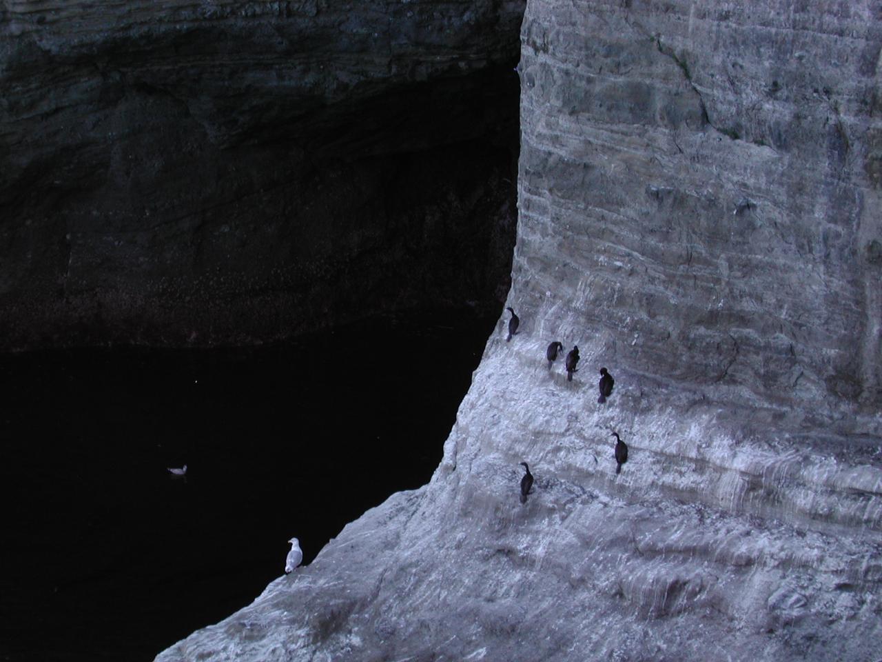
I don't know what type of birds these are - but they were certainly keen on being just where they were. Given their long necks, I suspect they are some sort of diving bird.
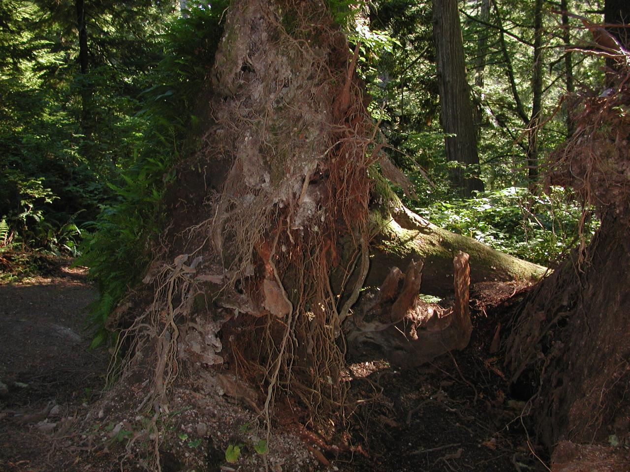
The severe wind storms which batter this part of the world during winter regularly knock trees over. Generally the forest helps the trees survive the onslaught (strength in numbers) but some succumb. As this one has. Note the shallow roots - caused because there is so much moisture that roots do not need to seek it further down. Note also the ferns growing on the base of the tree/soil (left side).