Port Campbell is a Victorian coastal town on the Great Ocean Road, located east of London Bridge and west of the Twelve Apostles. It was an ideal place to stay, especially given the weather - varying between almost dry and very wet! Not a day for sightseeing at all. Nor much photography.
Dad took a couple of photos along the way, but that was on a sunny day! There is one photo of Portland Harbour, so that was one to find. While driving around looking for the correct position, a number of detours were taken, leading to Cape Bridgewater, which is directly west of Portland.
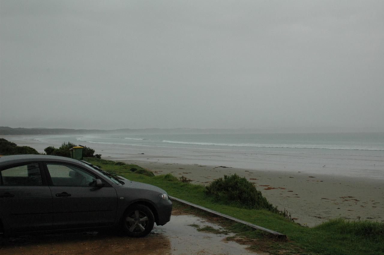
A very inviting day to go to the beach at Cape Bridgewater. There is a small town, behind, and there is the real, honest to goodness, Cape Bridgewater. This is looking to the SW.
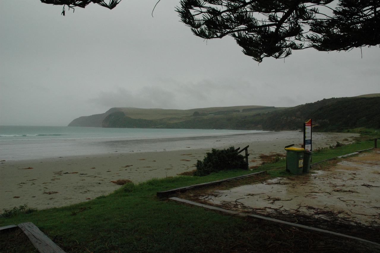
From the same location as above, but looking to the left, roughly SE. The piece of land disappearing into the gloom is Cape Nelson.
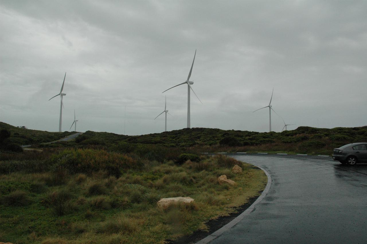
Cape Bridgewater wind farm. The information board says:
Completed in 2008, the 58 MW Cape Bridgewater wind farm comprises 29 wind generators producing enough energy to meet the annual needs of 35,000 households, with an average electricity generation of 200 GWh per year.
The wind farm abates an estimated 195,000 tonnes of greenhouse gas emissions each year.
Millions has been spent generating new investment in the local economy; direct and indirect jobs were created during construction and several permanent jobs exist to service its operations.
The ancient land on which the wind farm is situated has supported Gunditjmara people for thousands of years.
Pacific Hydro consulted with, and employed, local indigenous people through development and construction of the wind farm.
Re-vegetation programs around the wind farm site are helping to promote native flora with over 74,500 square metres of land direct seeded with pasture grasses, and 3,000 square metres with native grasses.
Pacific Hydro's Sustainable Communities Fund is providing support for local organisations working to make a positive difference in the community for the life of the project.
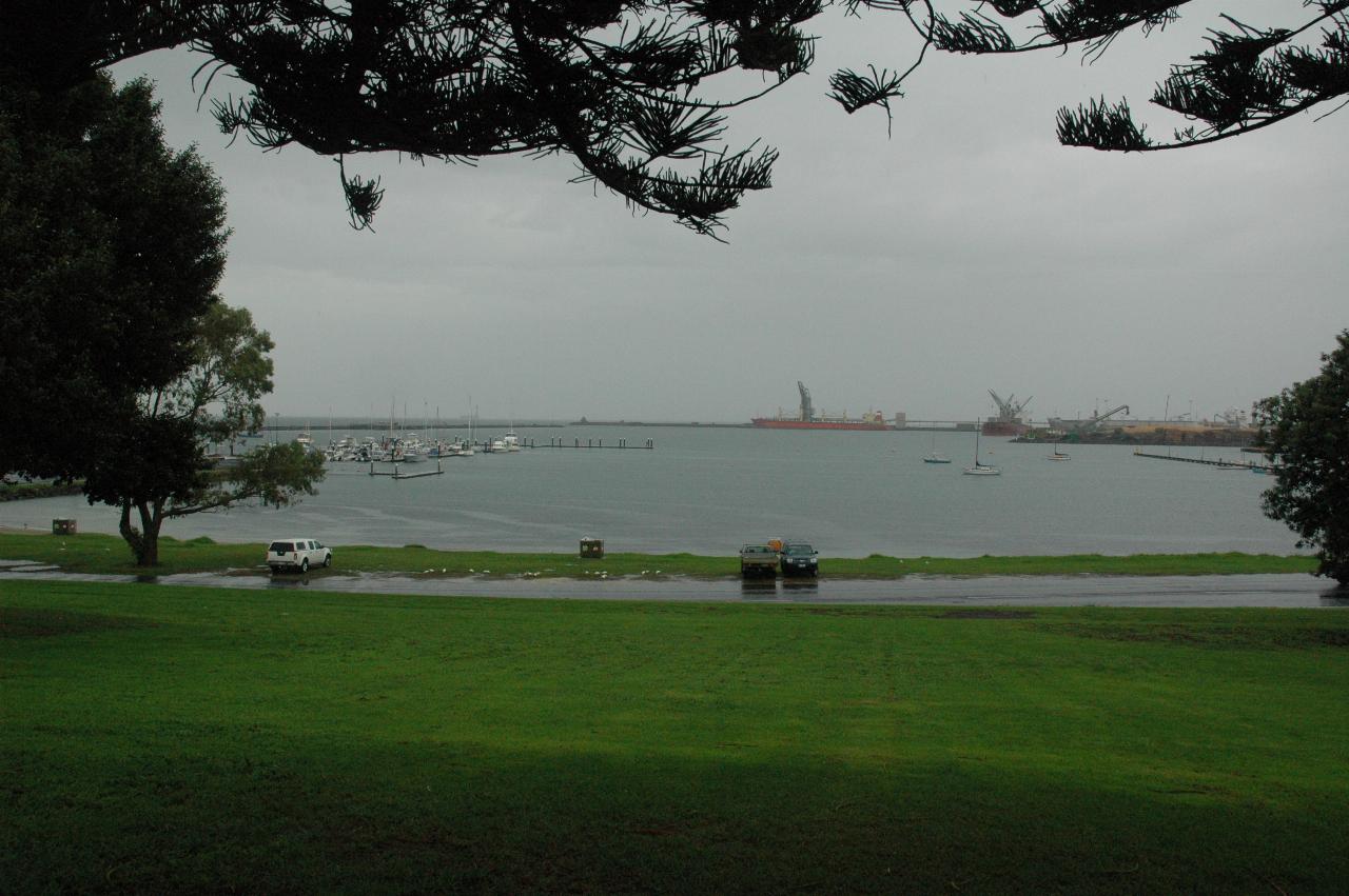
Portland Harbour was frequented by sealers and whalers in the early 1800s,
and its protection from Bass Strait, and fresh water enabled the establishment
of a settlement.

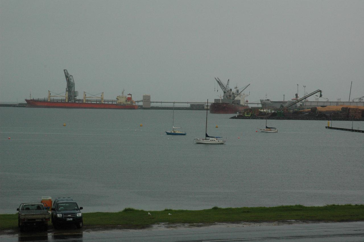
The port handles grain, fertiliser, aluminium ingots and woodchips. The latter is the pile of orange material on the far right.
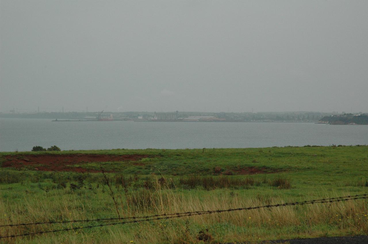
Heading east from Portland is a lookout to view Portland Bay and the port, which is disappearing in the rain.
The journey continued to Port Campbell, a somewhat small town. The motel had large rooms, and appeared to be geared for tourist traffic. Being far from summer and mid week, it was not full this night. And an enjoyable meal at "Waves" restaurant, a few blocks walk from the motel.