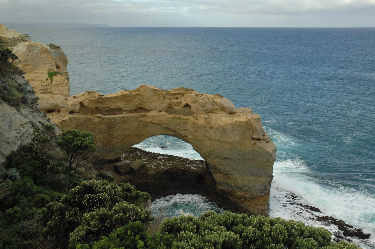
The day started with dry, but mostly cloudy conditions. Yes, a good day for visiting the sites. Except for the wind - almost enough to blow you over! Both these features are west of Port Campbell, but just a few kilometres so little back tracking needed. They are located about midway between Port Campbell and Peterborough to the west.

The plan was to drive west as far as London Bridge, pulling into each parking lot along the way. The first stop was The Arch which is not recorded in the 1964 journey, but may not have existed then. The coastal cliffs are made of soft material, and the powerful ocean here (Bass Strait, which is quite stormy with strong currents) continually attacks them. Erosion is just the way of life. The top left shows there was rain in the area, but fortunately the day stayed dry where I was!
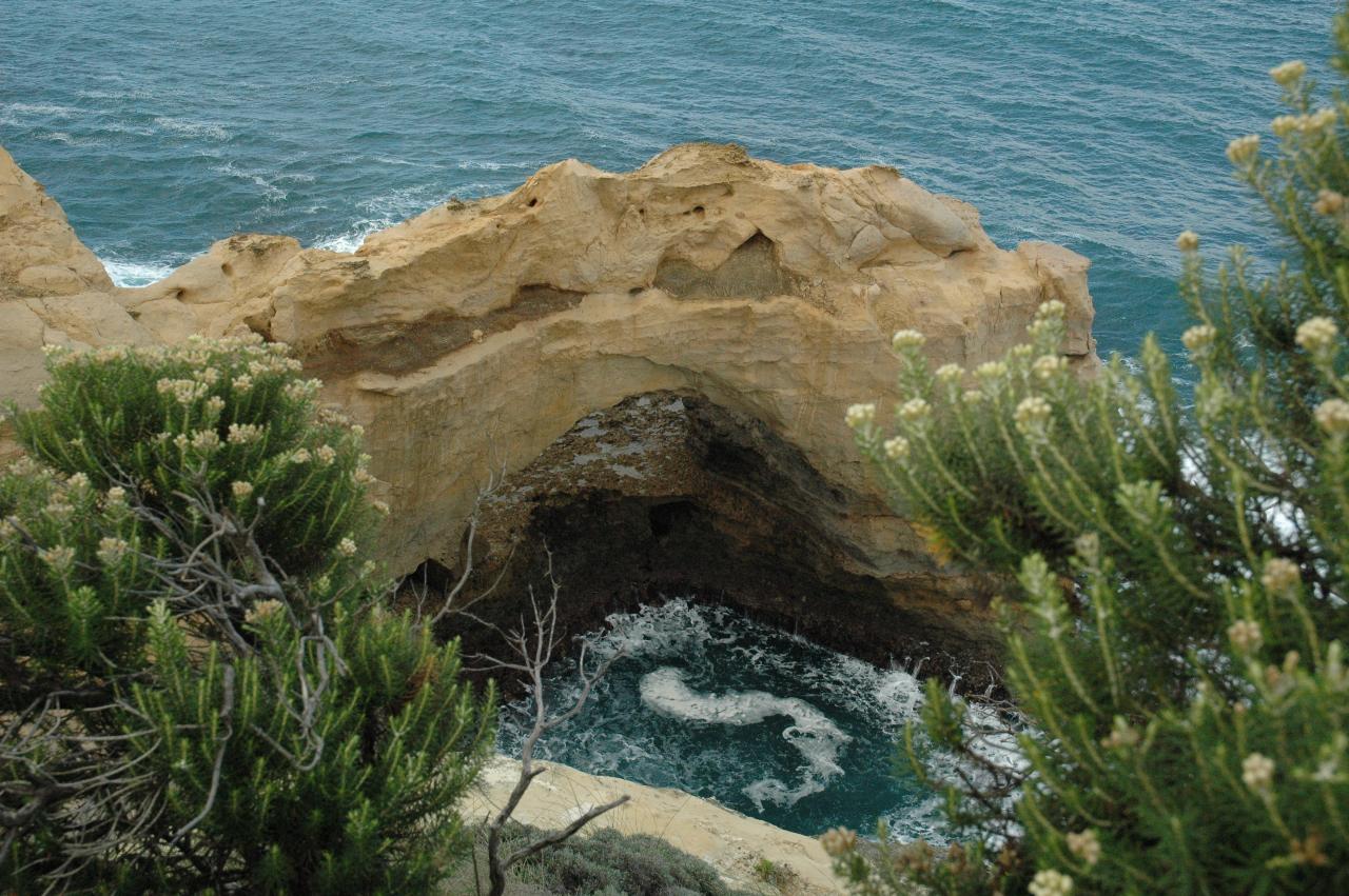
A closer view of the arch, showing erosion even at the upper layers. Presumably from heavy rain and wind.
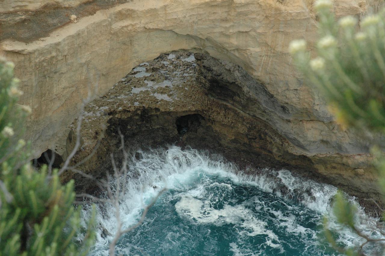
Almost constant wave action erodes the base, leading to the demise of the structure.
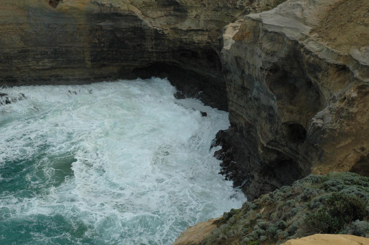
Even now, the ocean is attacking the soft material. The photos in this section were taken from a small peninsula; this and the following ones are on the western side, the first few on the eastern side.
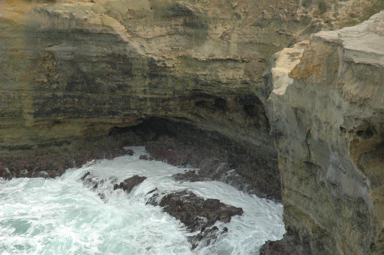
The ocean is just working steadily at wearing out the cliff base, leading to its ultimate collapse.
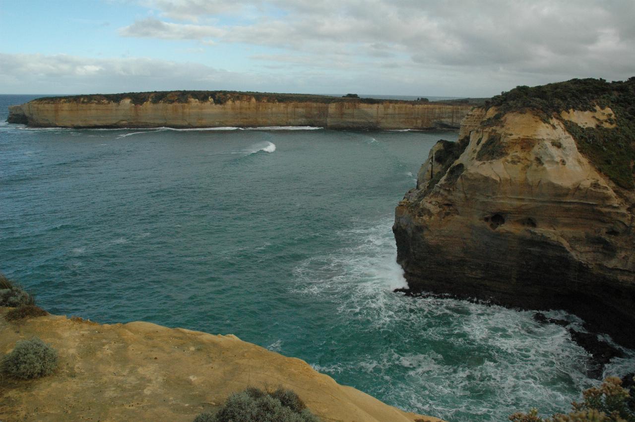
The next stop is on the other side of the far side of this bay.
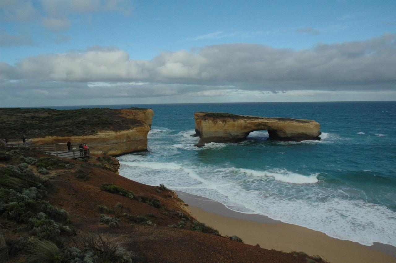
This may seem a strange structure to call London Bridge, but the 1964 photos show that the island was still part of the peninsula. The structure is now called London Arch following the 1990 collapse of the left arch. Two people were trapped on what is now an island and were rescued by helicopter.
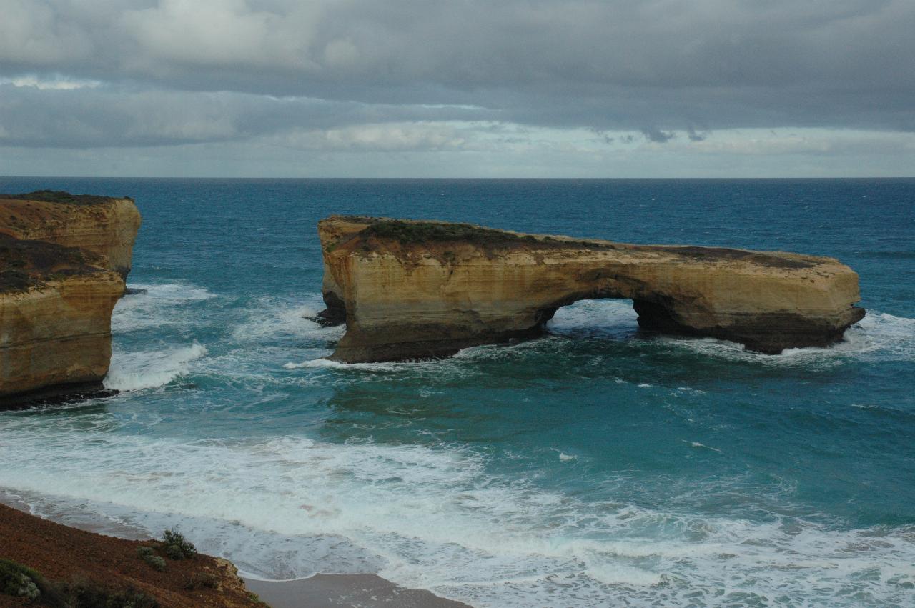
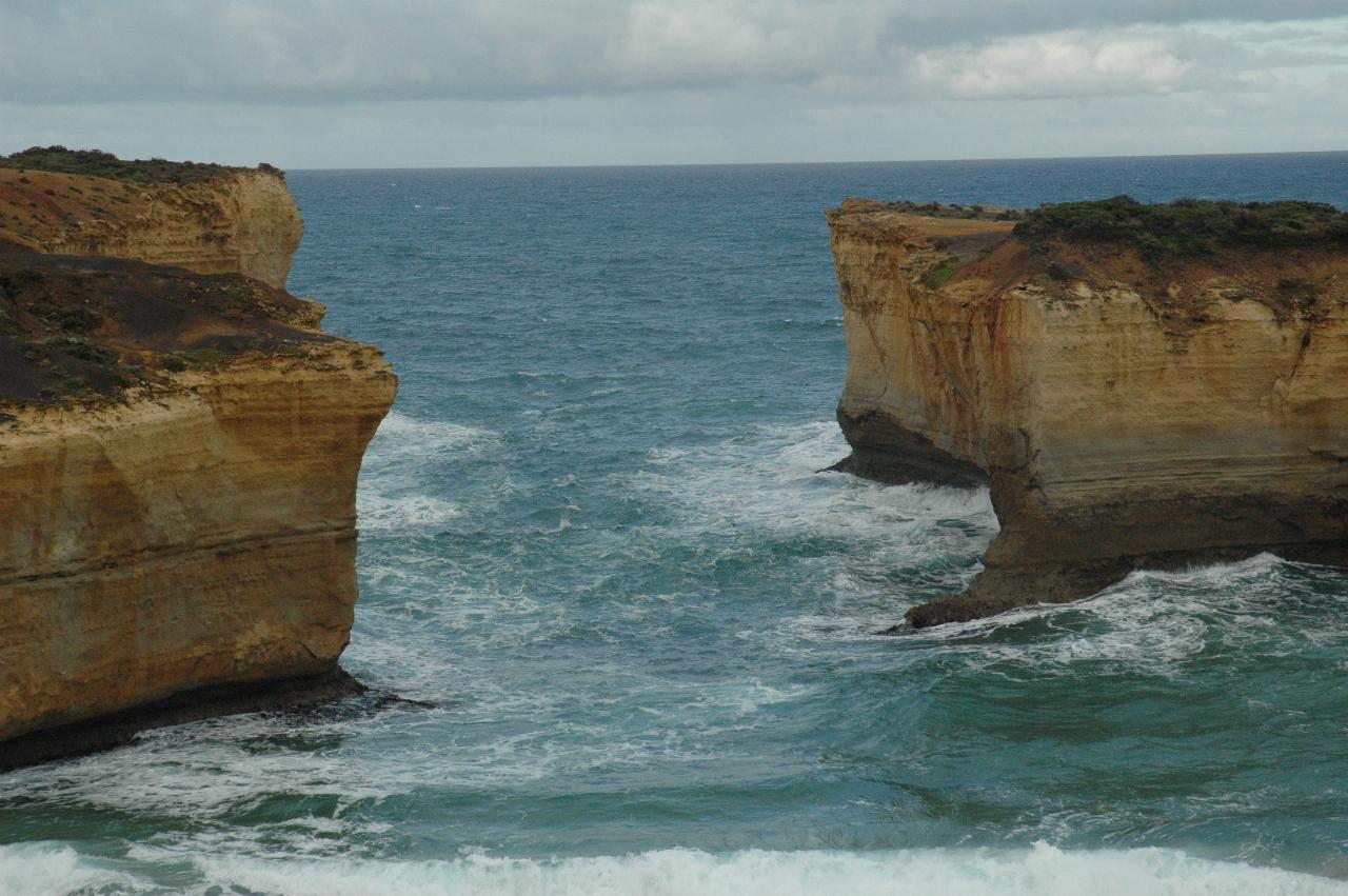
The missing arch!
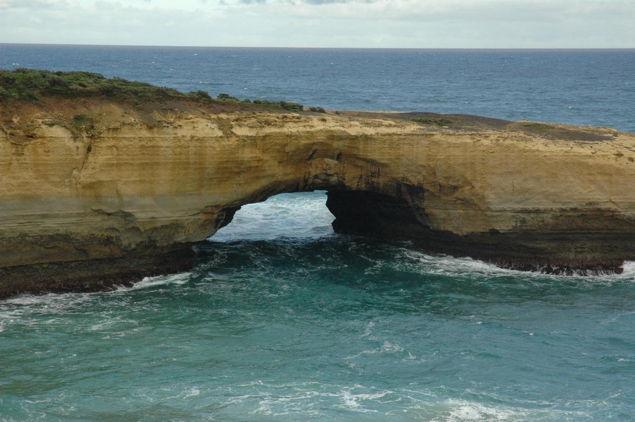
Close up of the island part, showing the remaining arch and the destructive effective of cumulative pounding by the ocean, especially on the left side of the opening.