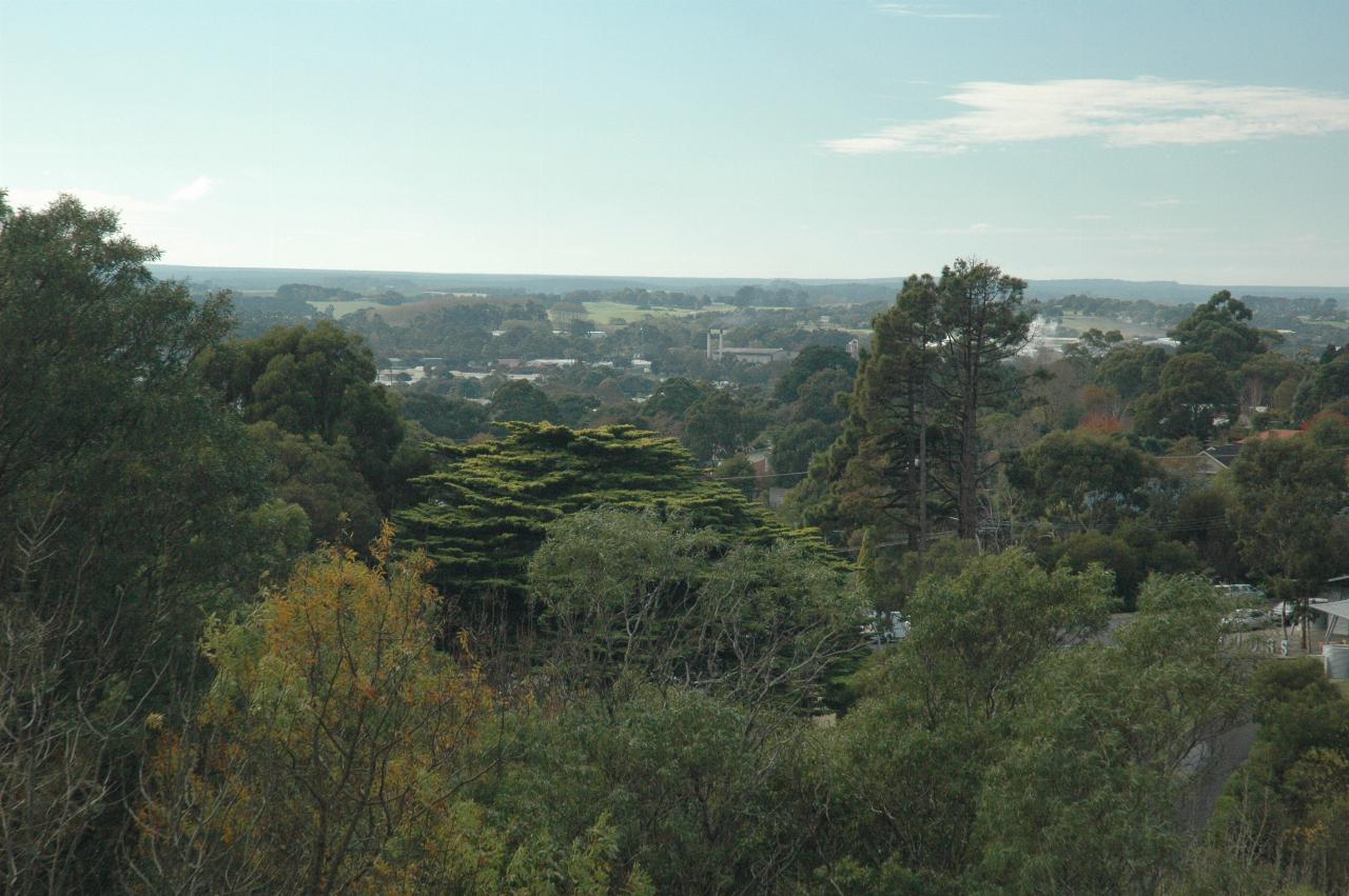
Today was Mt. Gambier day - things in and around the city. First stop was the Keegan Drive lookout, with views of all three volcanic craters.

Even though this view is partly over the industrial area of Mt. Gambier, it is quite green, with many trees leading out to green rolling hills.
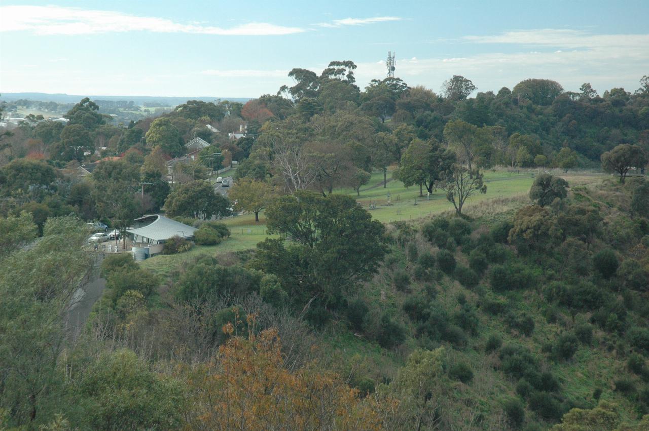
Looking to the NE shows this grassy area on the edge of the Blue Lake crater, which includes a viewing platform. The building in centre left is the Visitor Centre and the starting place for Aquifer Tours\ , which take visitors down to the pumping station for a close look at the pumps and the lake!
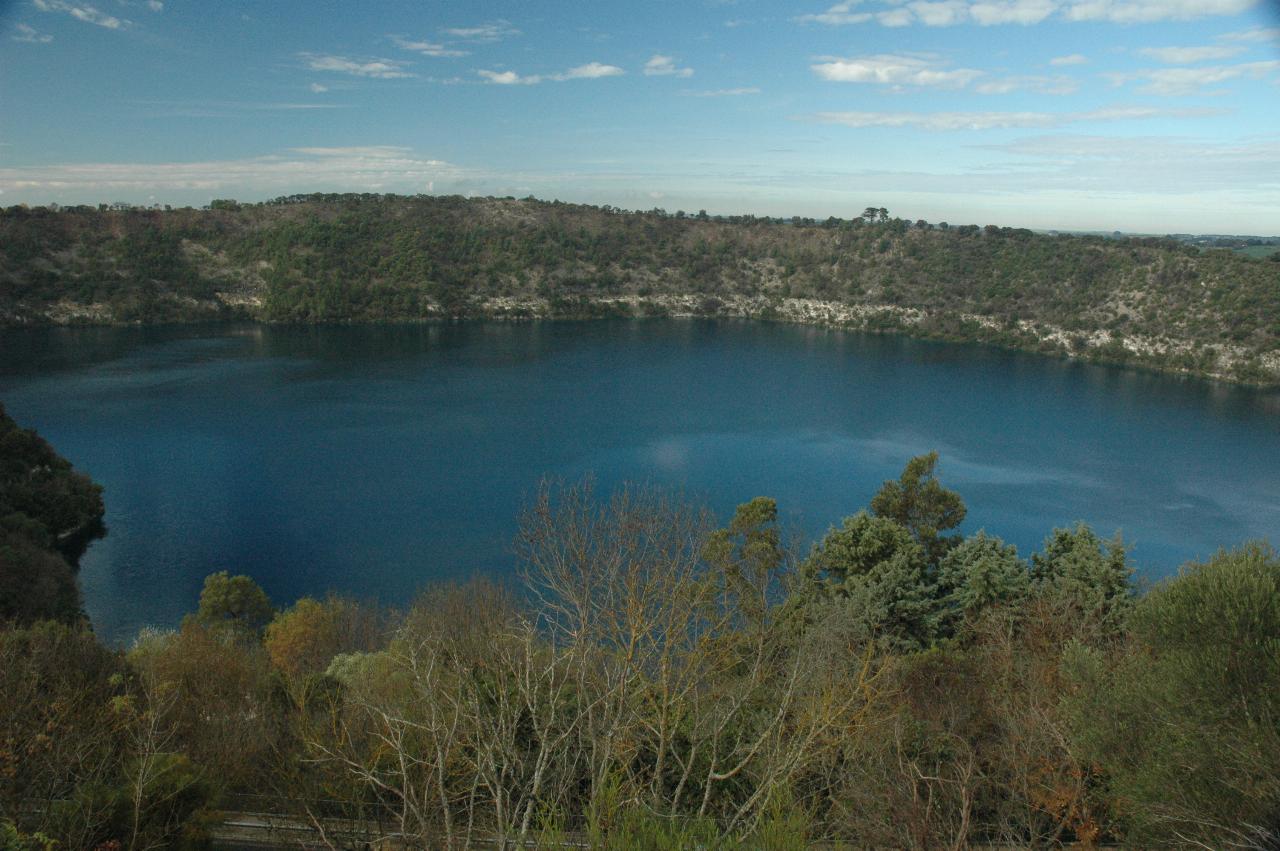
The Blue Lake is much bluer today than yesterday, but then again so is the sky! The white rock around the top of the water is the limestone layer where the water flows slowly from inland out to the Southern Ocean.
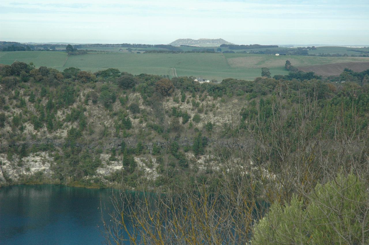
The southern side of the Blue Lake crater, looking over to Mt. Schank. It is also an extinct volcano. The name was given by James Grant after Admiral James Schank, designer of Grant's ship HMS Lady Nelson. This was at the same time as the naming of Mount Gambier, and by the same person.
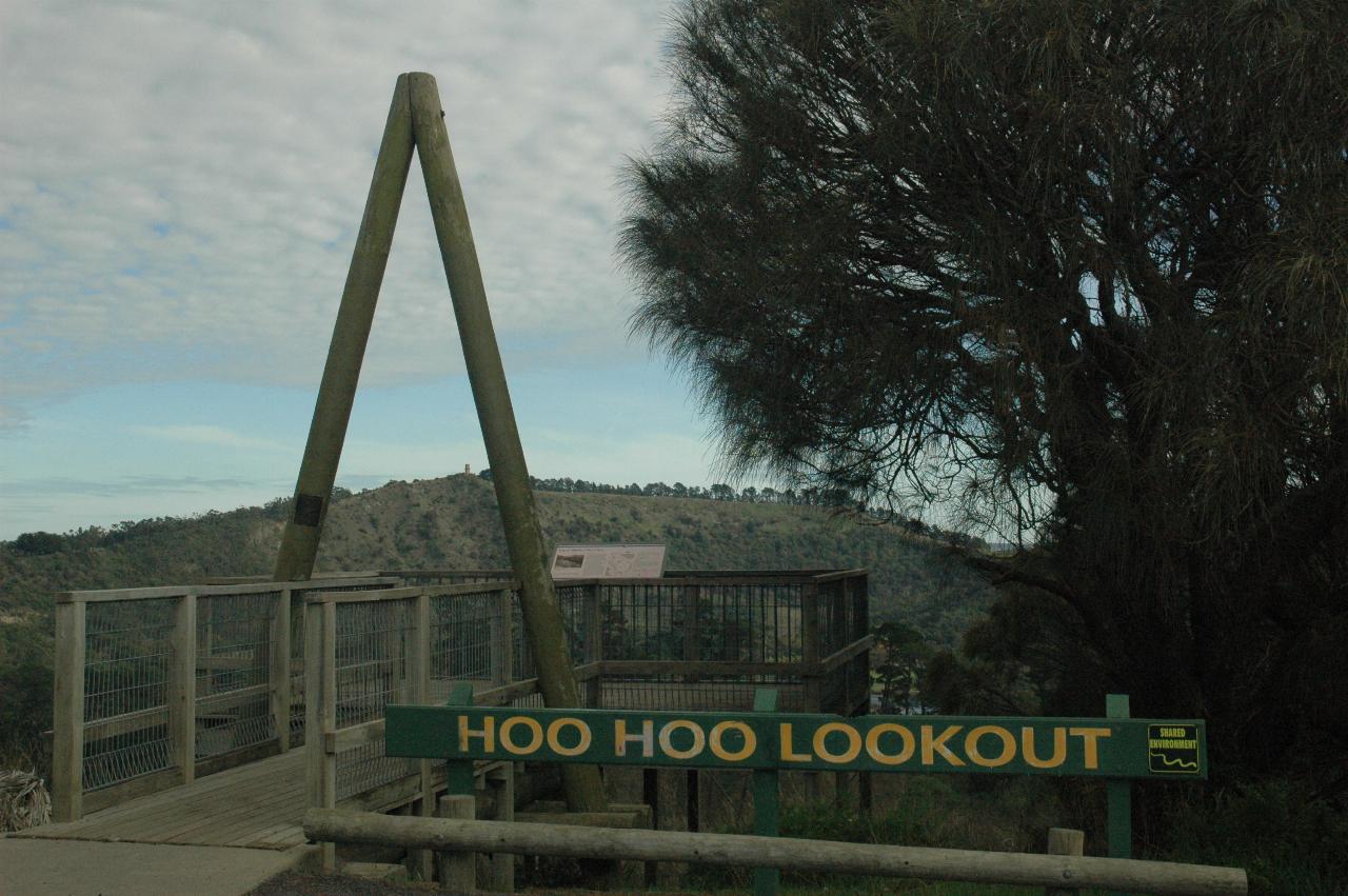
At first I thought Hoo Hoo Lookout might have been named for owls.
Hoo-Hoo is a service club to the forest industries.
This lookout was first erected in 1966. It was extensively remodelled in 1993 with materials provided by CSR Softwoods and Woods and Forests and labour provided by the City of Mount Gambier.
The lookout overlooks the site of the first radiata pine nursery and the original headquarters of the Mount Gambier Forest District. These were established in the Leg of Mutton Lake crater in 1876.
This lookout commemorates the efforts of those pioneer foresters who created a plantation forest based industry which has now become an enterprise of international importance.
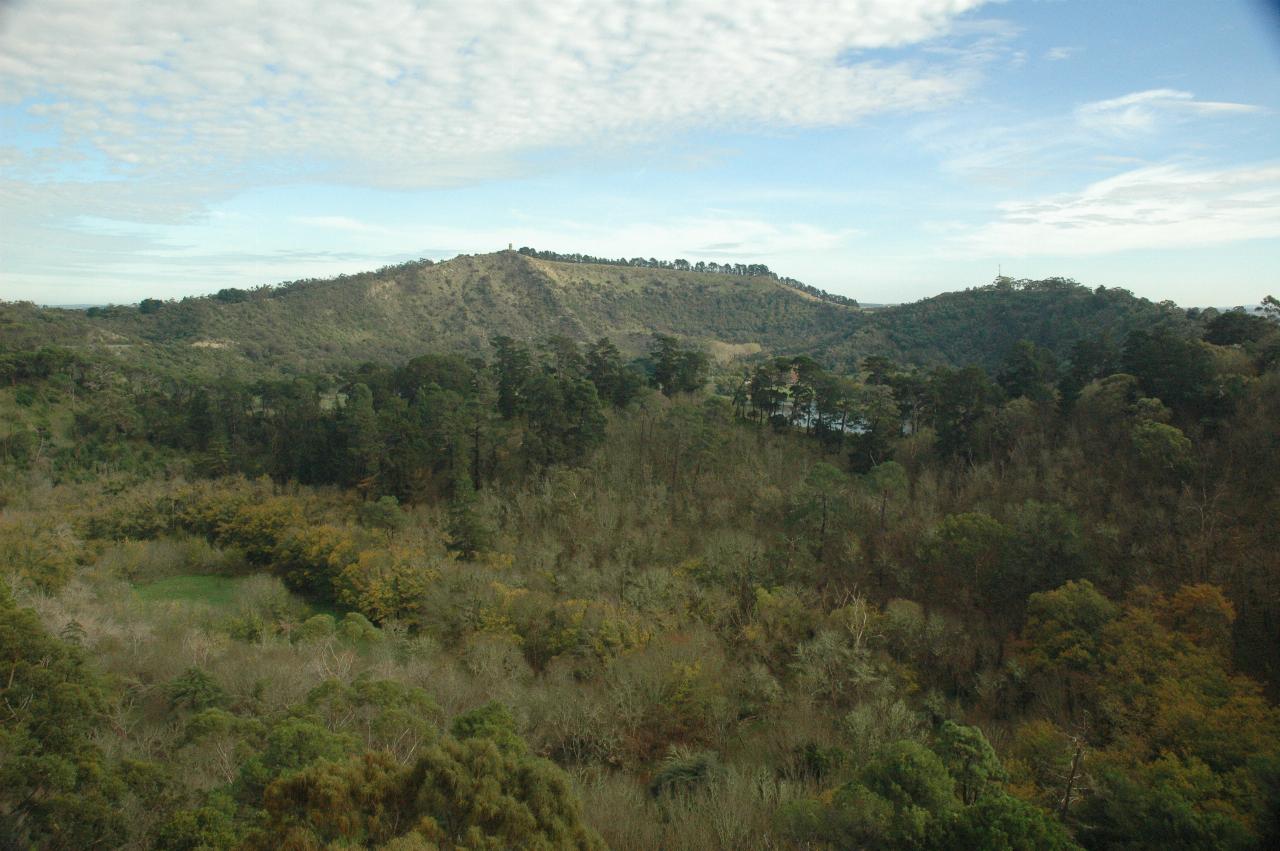
This is where Leg of Mutton Lake used to be, along with a nursery to produce trees for forestry plantations grown around the area. The lake dried up in the 1960s as the water table fell.
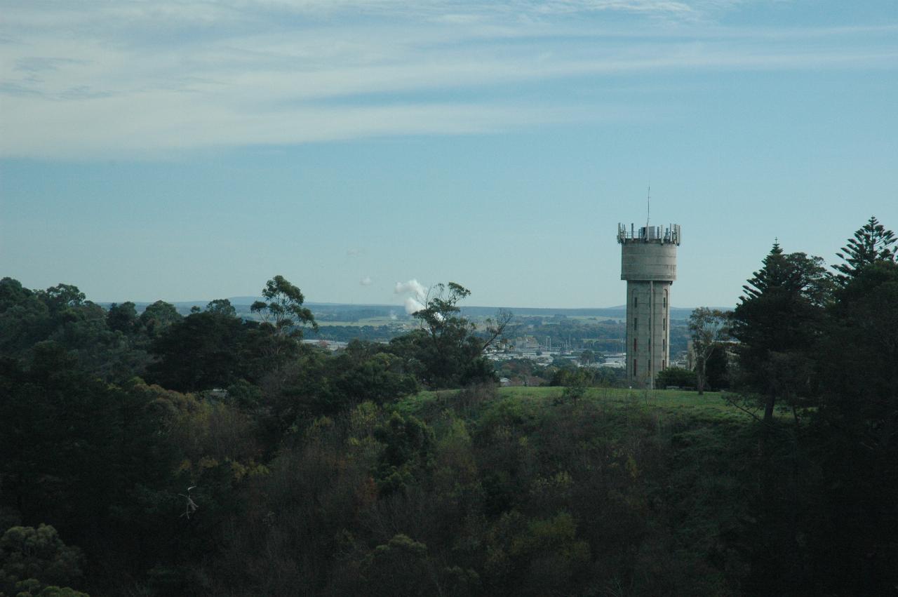
From the lookout, viewing the rim of the volcano, and also distant industrial activity. The water tower is fed from the Blue Lake pumping station to supply the city's drinking water.
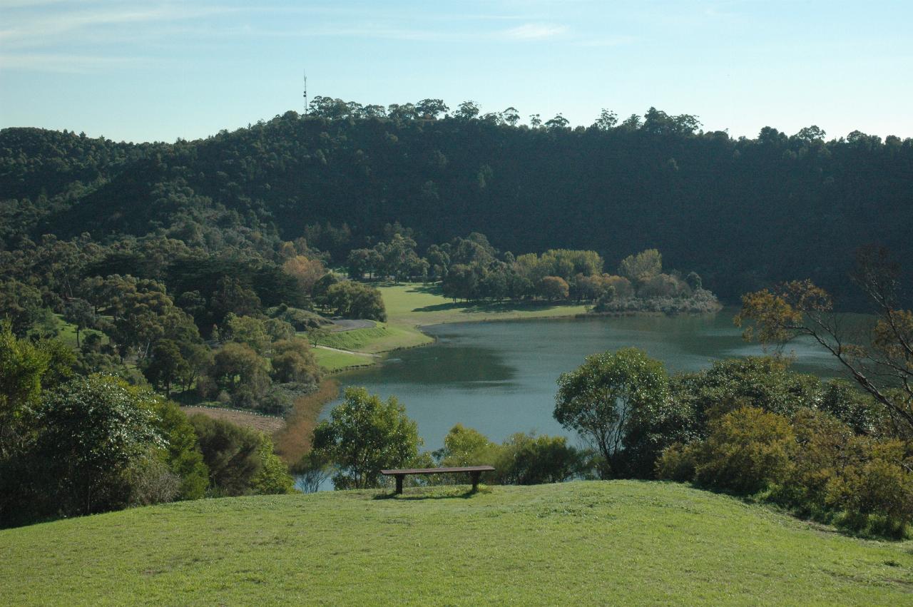
This is Valley Lake. There are 3 adjacent volcanic craters at Mt. Gambier,
as explained in
the geology page.
To the left of this used to be Brownes Lake which dried up in the late 1980s.
To the right, in another volcanic crater, was Leg of Mutton Lake, which
dried up in the 1960s. Both of them were victims to the falling water
table from land draining to secure farmland. Both lakes were quite shallow.

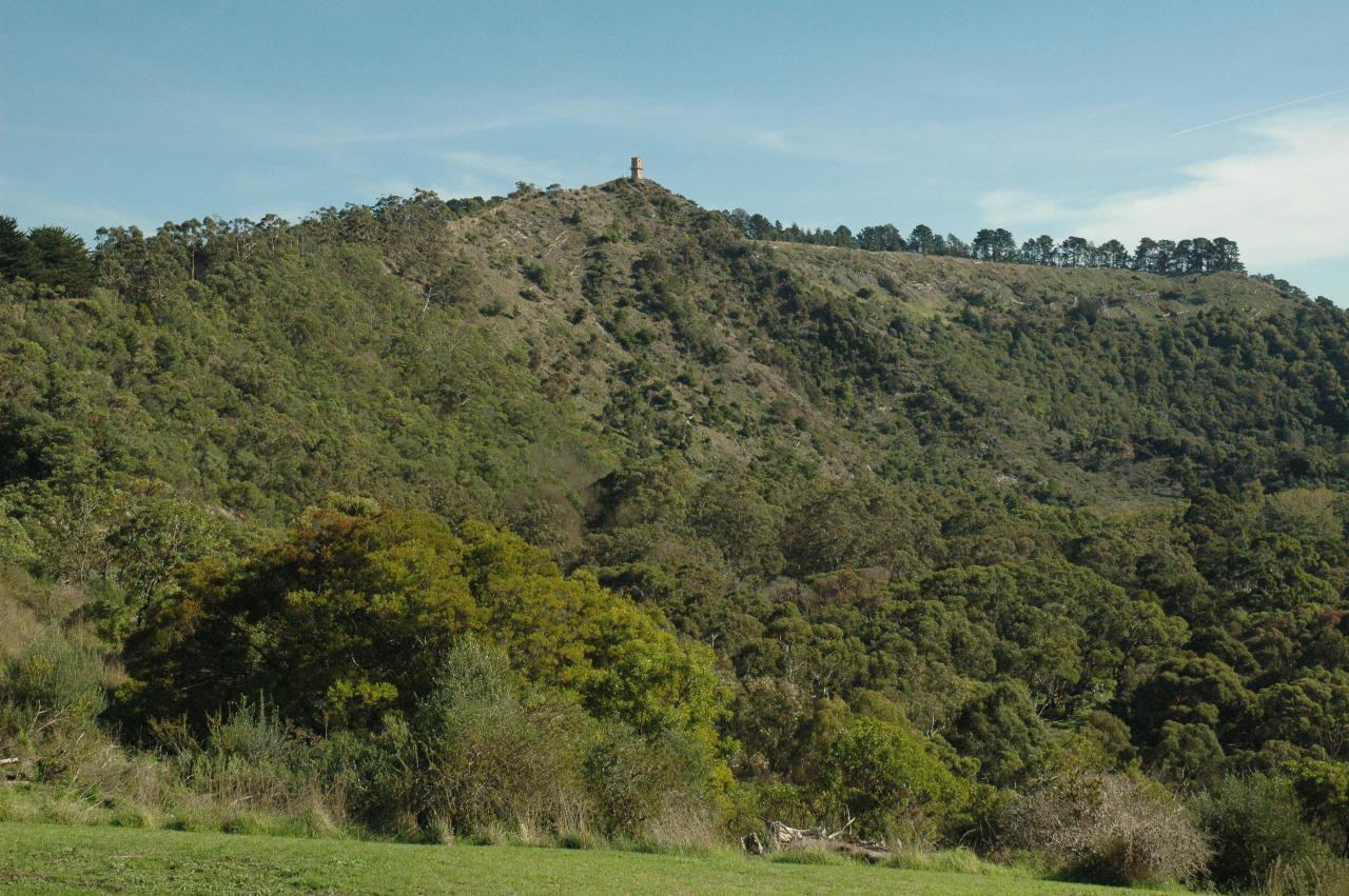
Centennary Tower is perched atop the highest point of the actual mountain after
which the city was named. This peak is the first place in South Australia
named by Europeans. It was sighted in 1800 by Lieutenant James Grant
from the survey brig
HMS Lady Nelson,
and named for Lord James Gambier, Admiral of the Fleet. The tower was built
in 1904 to commemorate the first sighting, and at 192m above sea level
is the city's highest point.

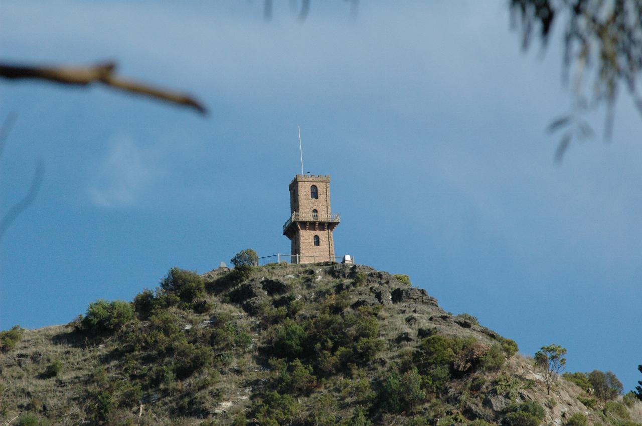
Centennary Tower as seen from the overflow parking area at Valley Lake. Alas, it was closed on the day of my visit! There was a sign at the bottom of the walk up saying so.
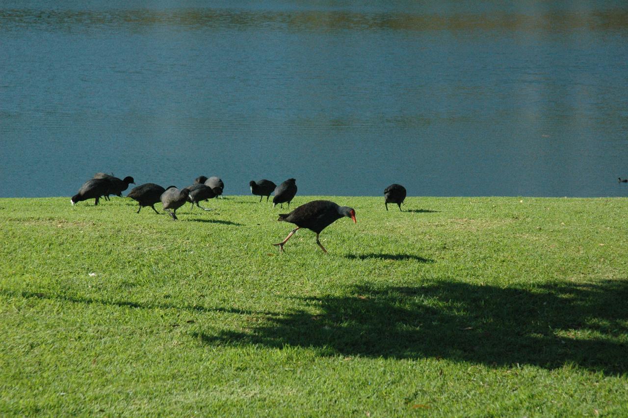
These birds - Purple Swamphens - and their young are enjoying quite a fossick and presumably feed on the grass at the Valley Lake visitor area.