Today was mostly a transit journey, from Adelaide to the south east corner of South Australia ending at Mt. Gambier. Basically just followed the GPS directions. In large part as the photos Dad took along the way were more or less generic images. Lunch was eaten at Keith - an apple and some water at a park on the side of the road. A little later, feeling a bit drowsy, it was time to stop and get some exercise. And coffee!
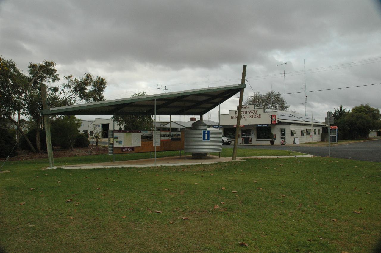
With a population of just 336 (2006 Census), it's hardly a thriving metropolis. However, the General Store had coffee and a pastry to eat. Woke me up, it did! This photo is taken from the visitor area/park. Just behind the structure is a Bowling Club (lawn bowls, common throughout Australia, though declining in number) with an unusual watering system. Rather than sprinklers in the ground, or hauled around, they hang down from pipes over the green.
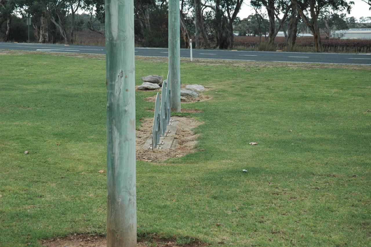
The same area as above, but what are these?
Hmmm, looks like some sort of animal.
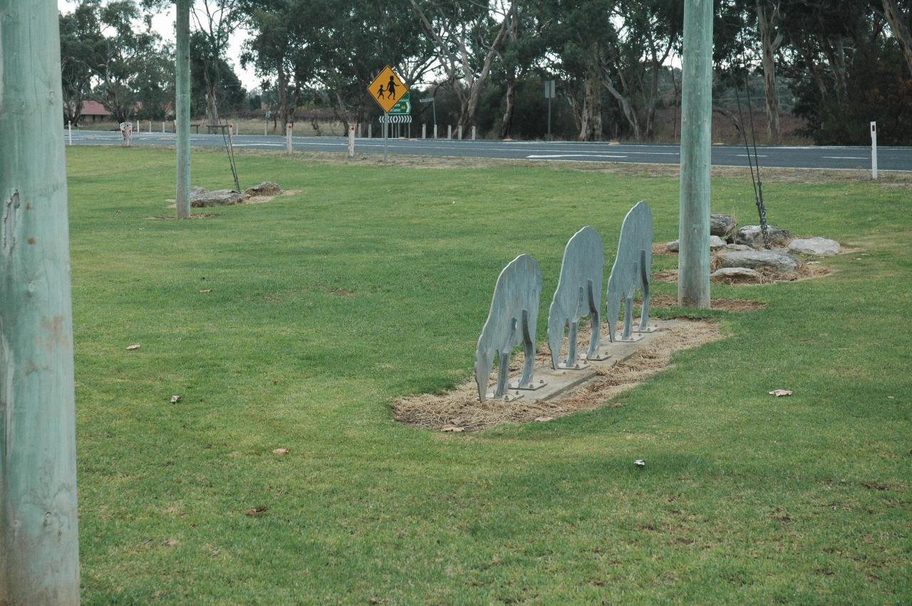
Ah, they look like sheep in their usual mode - eating grass.
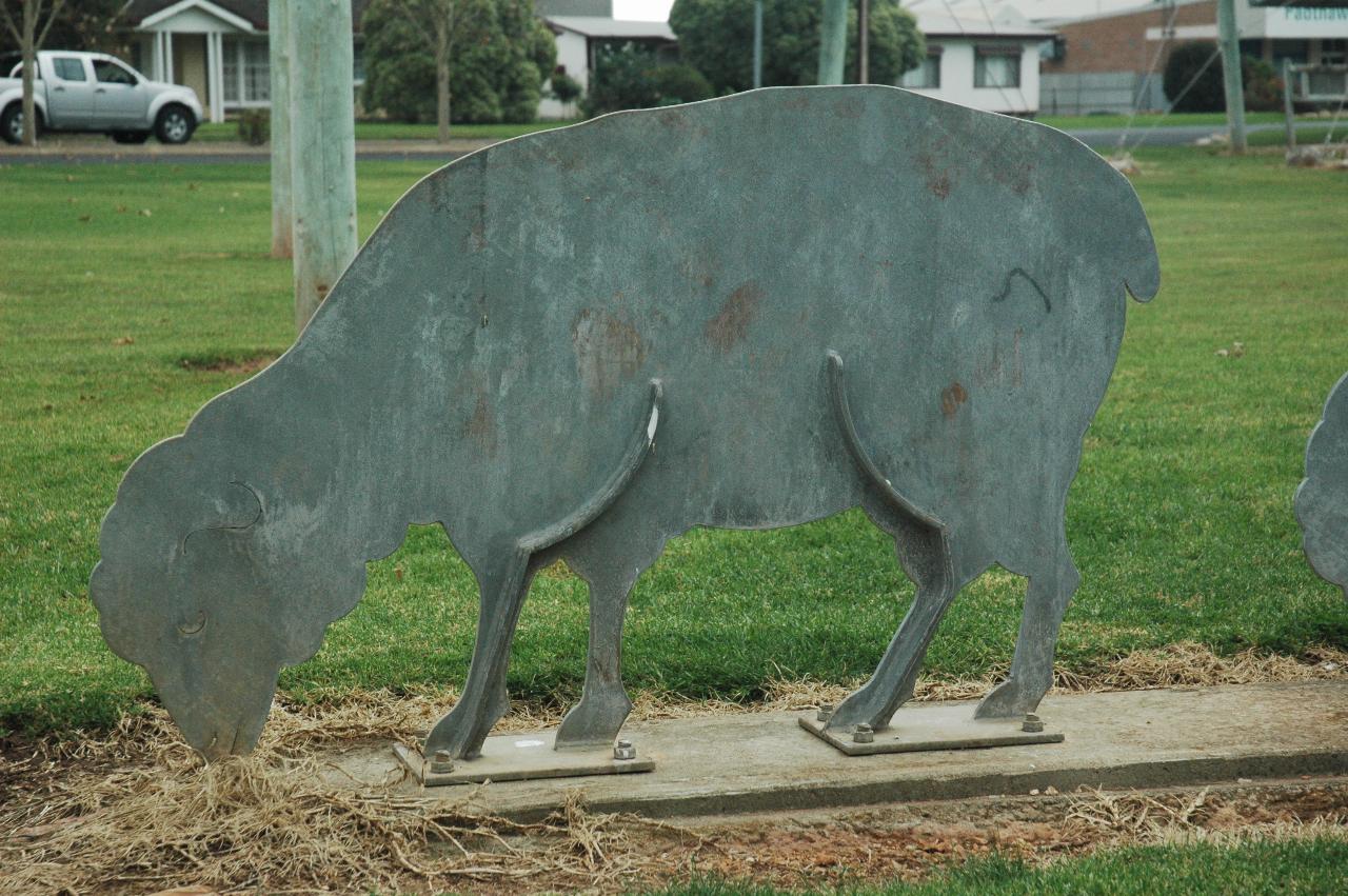
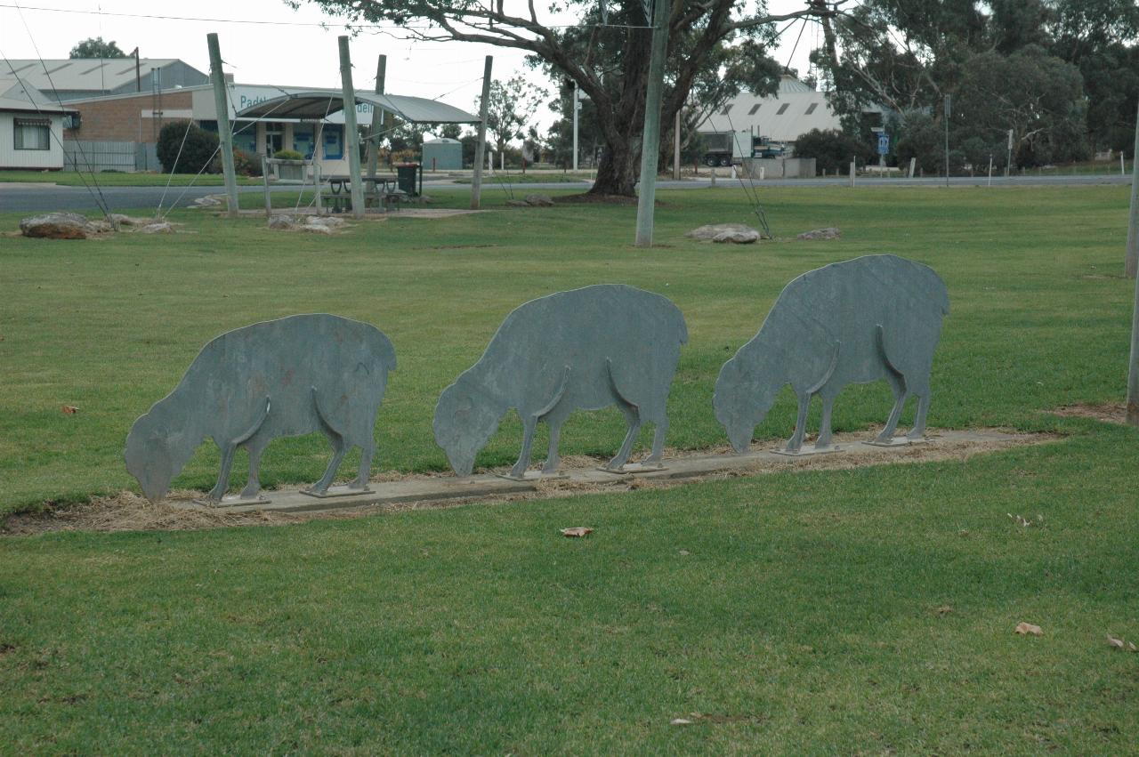
Ah, it really is a sheep munching away, keeping the grass cut!
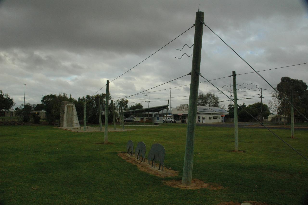
This is the Padthaway Marker. It's not until a closer look that its symbolism is apparent; it's also explained in part of the information area. The wires radiate from in front of the granite block on the left, a block made from local "green granite". Each set of wires depicts an aspect of the areas local agricultural production.
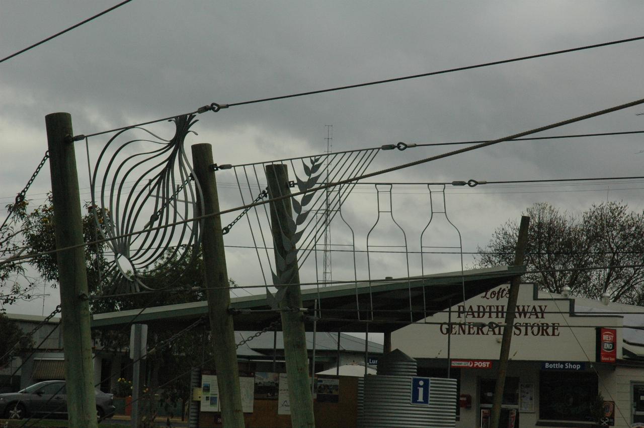
This is the business end of the marker, showing the area's production. The very top wire runs over the sheep, representing cattle and sheep raising. The next two symbolise grain seeds and horticulture (the shapes being an onion, and an olive branch), with wine production being furthest away.
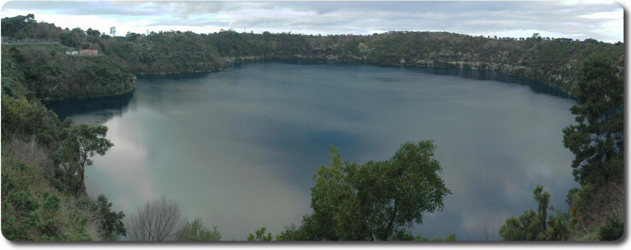
A panorama (combination of 3 photos) of the Blue Lake, taken from the south west corner viewing platform. It's not very blue because it's the wrong time of the year, and is reflecting the grey skies anyway! The crater is about 1200m by 824m; the surface of the lake is 1087m by 657m. The depth averages 72m, with the deepest 75m. Water volume is 36,000 megalitres, and the city consumes 3,500 megalitres per year.
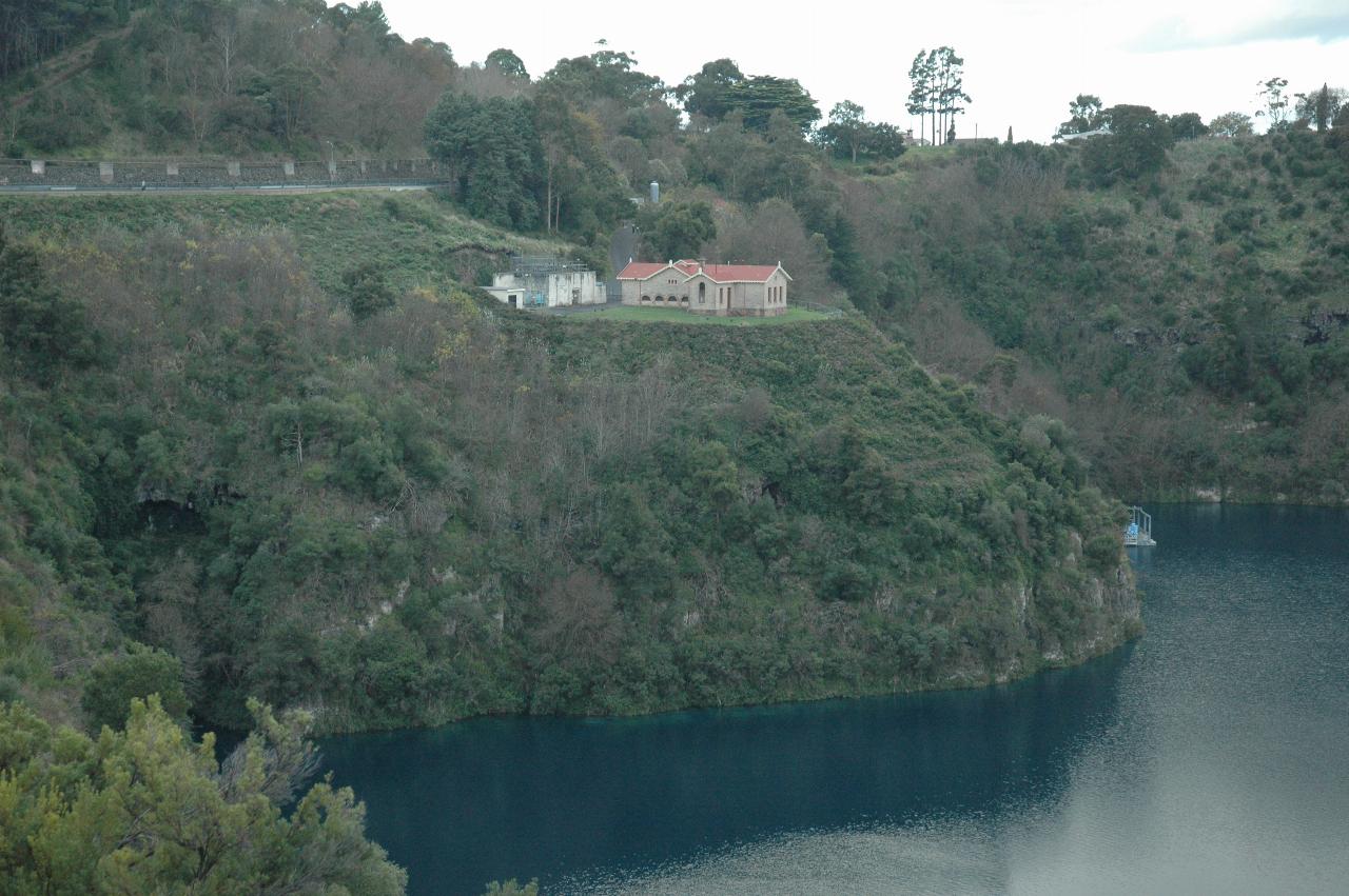
The Blue Lake is the water source for the City of Mt. Gambier, which is behind the far side of the crater. This building is the pumping station to pump water up the hill on the left for gravity feed to the city. The original method involved a well down to below water level, and pumps in the building sucked the water up. That was replaced with a system of pumps near water level, with the well shaft now used as a lift (elevator) to reach the pumps and inlet structures. The light blue item just poking around the edge of the hill is one of the intake structures.
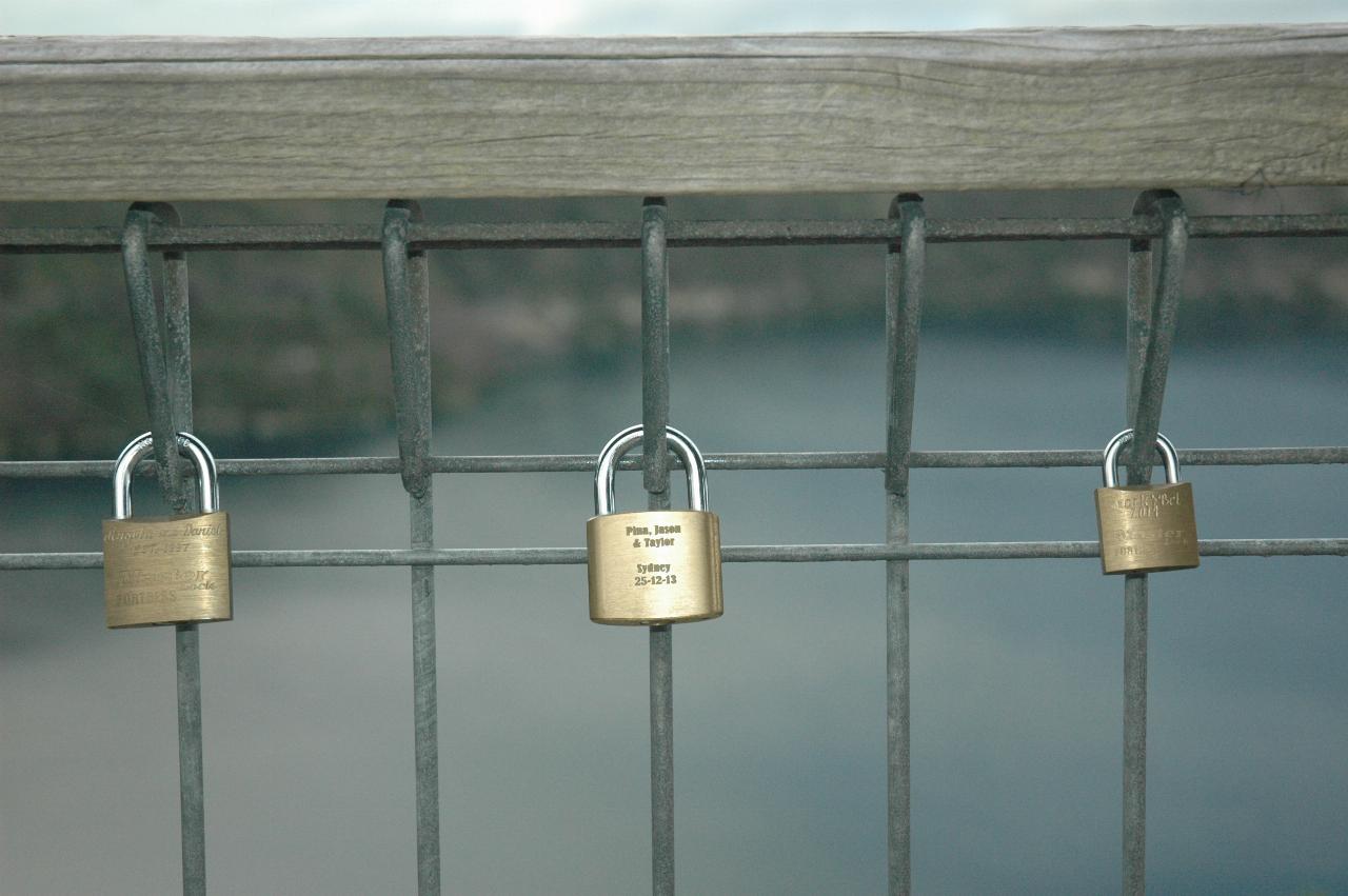
These are examples of love locks, which began in Serbia at the beginning of World War I. They started appearing in the rest of Europe in the early 2000s. These are attached to the railing of the viewing platform where the photos in this section were taken.