Goolwa is the nearest settlement to the mouth of the Murray River. The name means elbow in the language of the local Ngarrindjeri Aboriginal community.
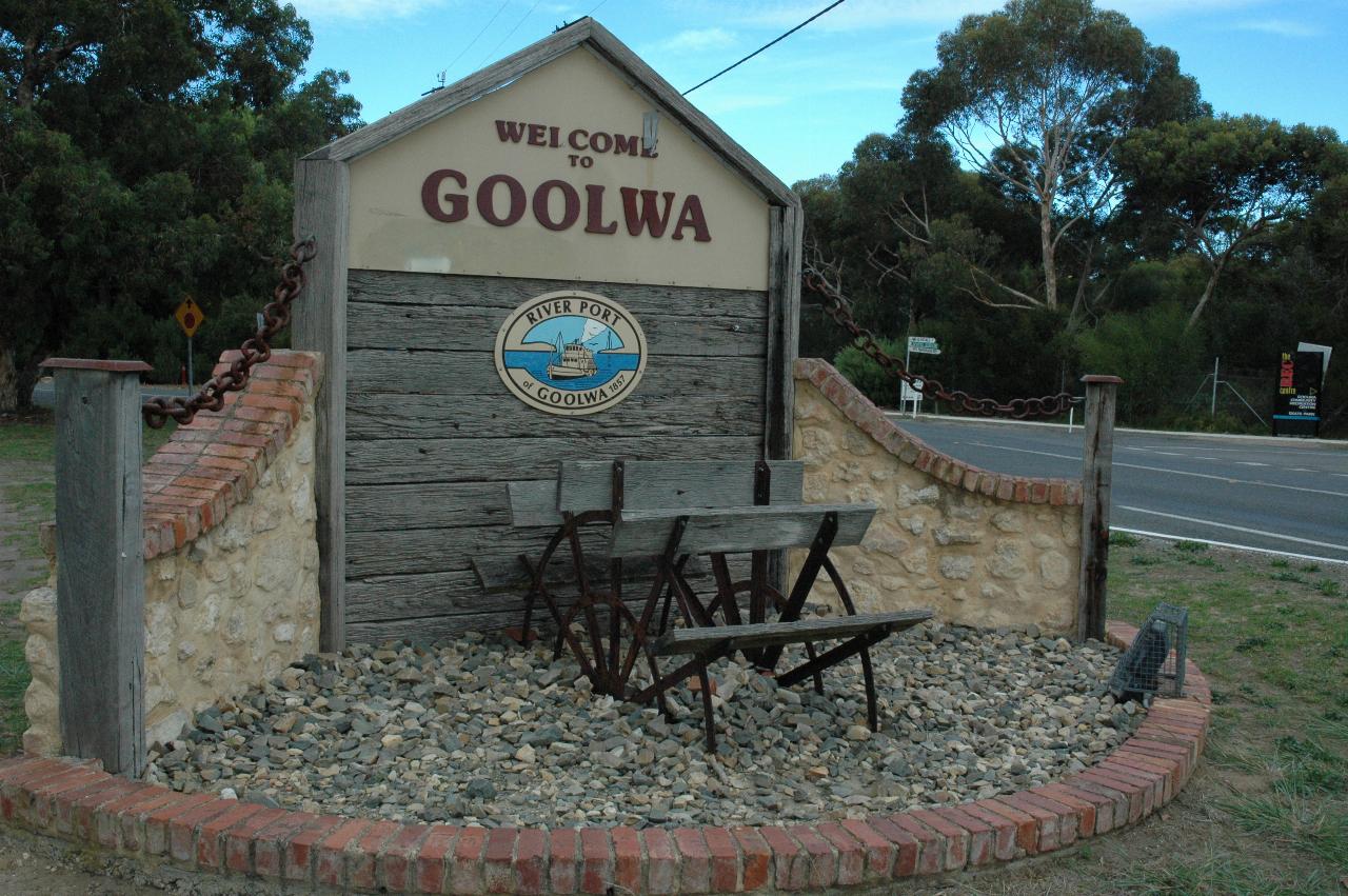
At the entrance to Goolwa is this display, and a number of display boards on the history and importance of the town. The paddle wheel reflects the town's importance in the days of river boat shipping of goods, a period which dried up when the railways arrived. Goolwa was the end point for the river traffic, with goods being transferred to Port Elliot then Victor Harbour for loading to/from ocean vessels.
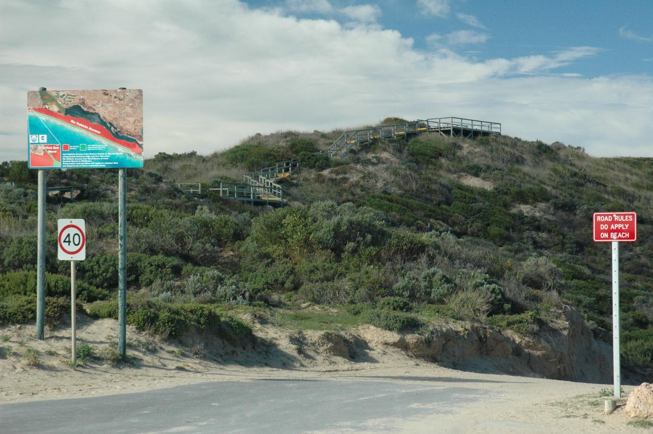
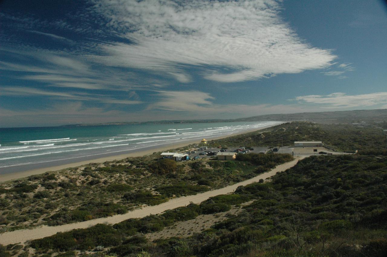
Goolwa beach faces the Southern Ocean, and to enjoy the view, there is a wooden path/steps to a viewing platform at the top. The following photos were taken up there. The road leads to the beach, where 4 wheel drive vehicles are allowed. The beach runs for many kilometres to the actual mouth of the Murray River.
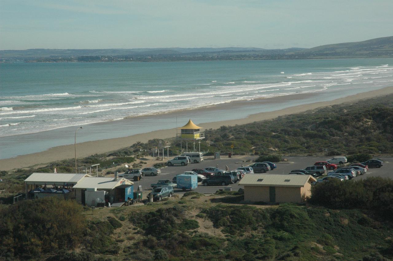
The view looking roughly west from Goolwa's observation hill. The towns of Port Elliot and further Victor Harbour are in the distance. The yellow structure is for life savers to monitor the beach; the other facilities include toilets and a cafe with outdoor seating. The other side of the Southern Ocean is Antarctica.
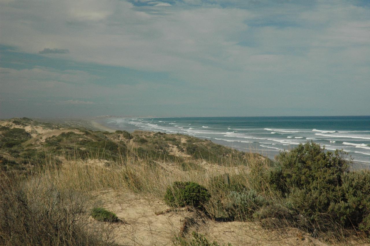
Looking approximately SE along the Sir Richard Peninsula, towards the Murray Mouth, though it is not visible, due to distance and the sea spray.
Looking west towards Victor Harbour.
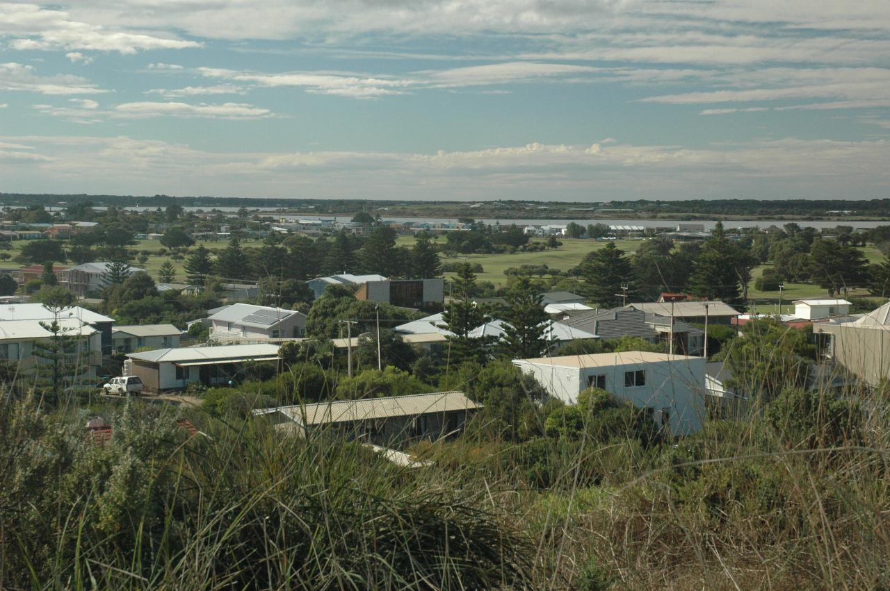
Part of the town of Goolwa, seen from the same viewing platform as the above photos. The water is the Murray River's final section, with Hindmarsh Island on the other (right) side of the river.
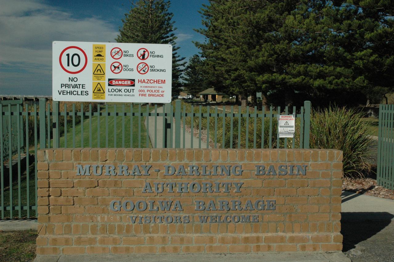
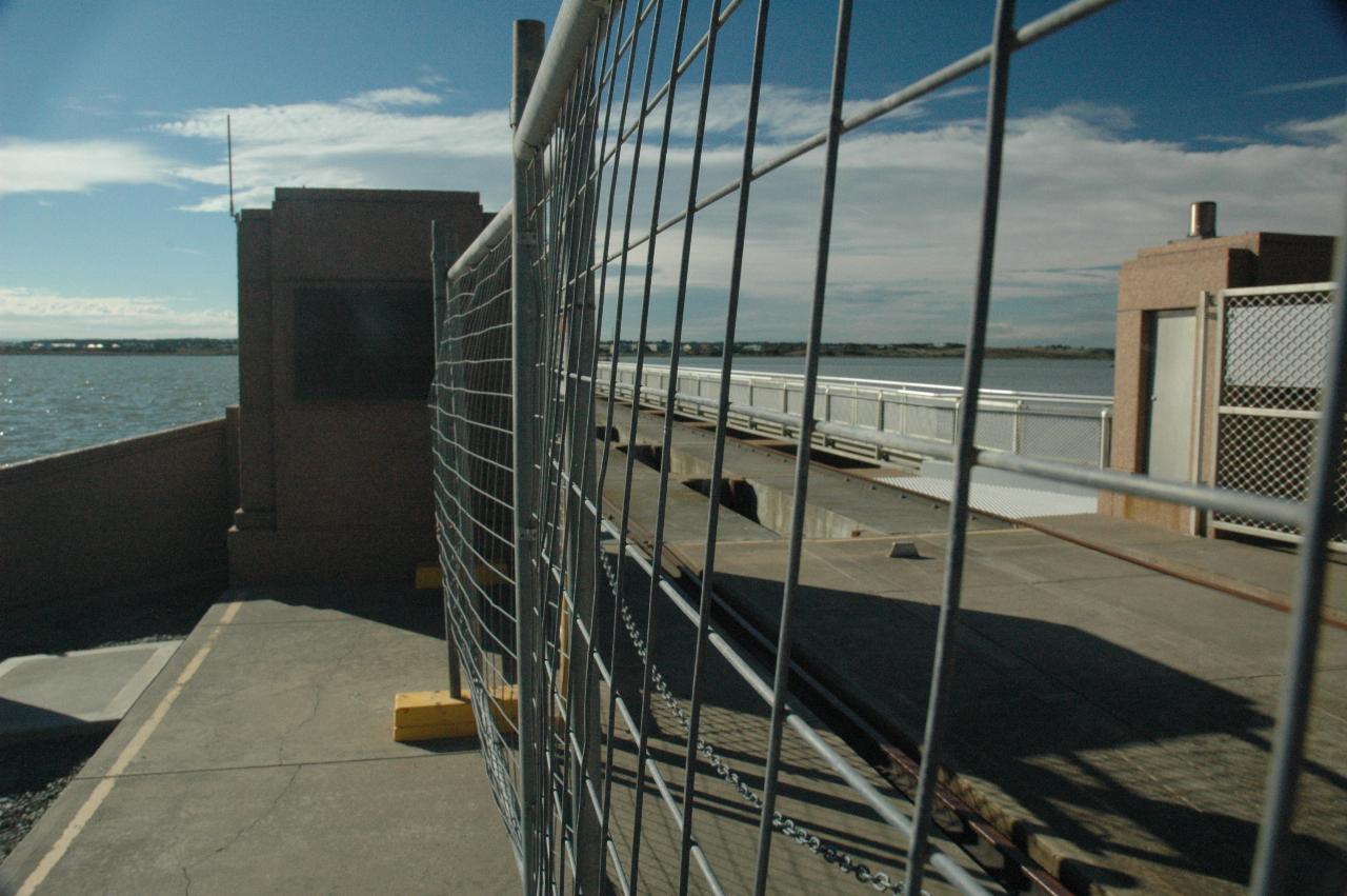
The public entrance to the main barrage, which is on the outskirts of Goolwa.
The freshwater side of the barrage. It is basically a very low dam, and this one includes a lock for vessels to travel to/from the ocean.
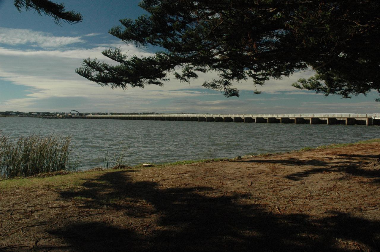
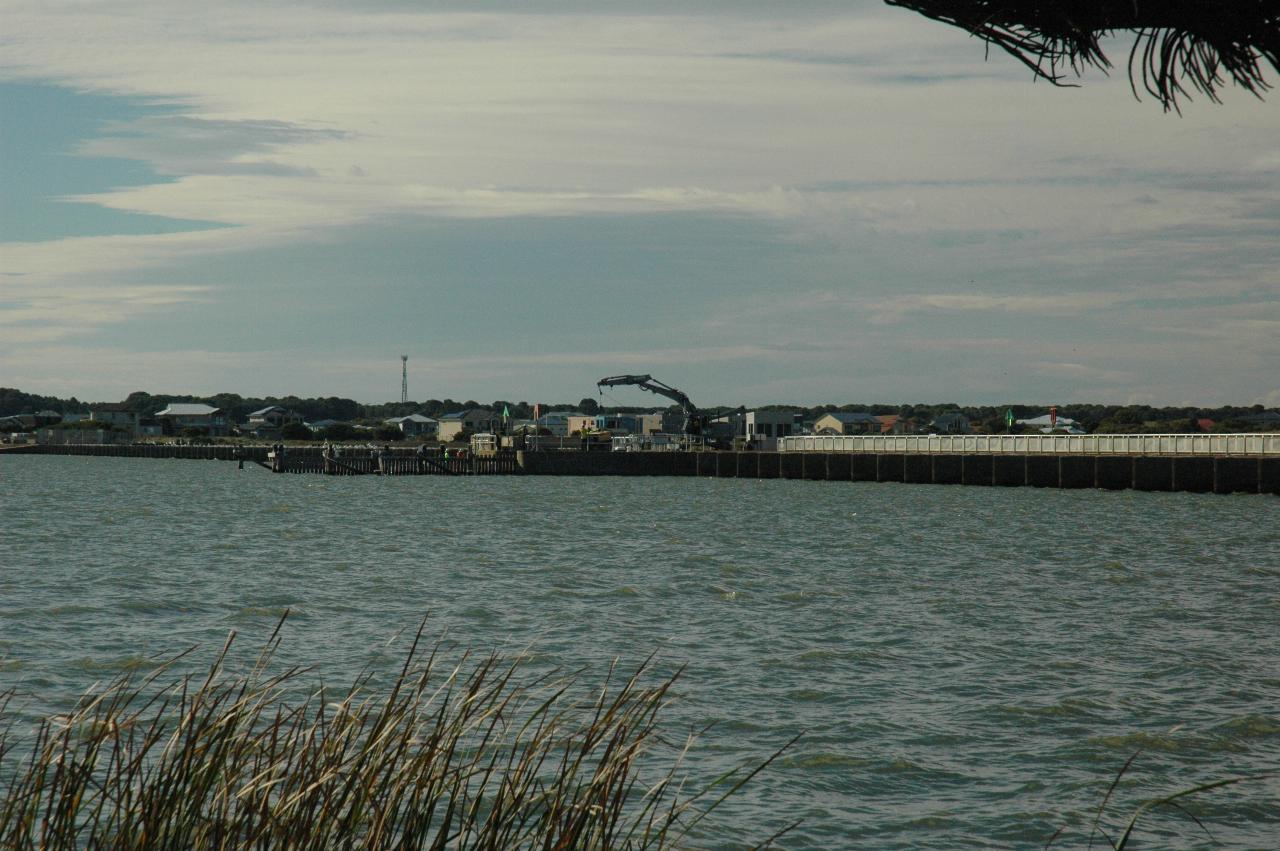
A wider angle view of the upstream side of the barrage. The water here is fresh.
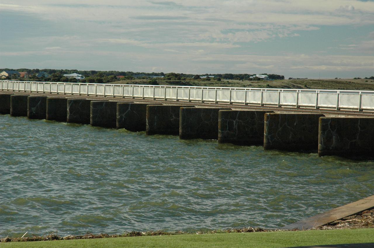
Closer view of the barrage. It appears that there is a gate between each concrete pillar, which can be opened for those rare times when there is a very high flow in the river. Still on the fresh water side. The salt water side is not currently accessible, due to the lock repairs.
Looking along the barrage, which is as close as allowed during lock repairs. The fresh water is on the left, salt water on the right. The white fencing on the right is the walkway, perhaps reaching as far as the other side of the river.
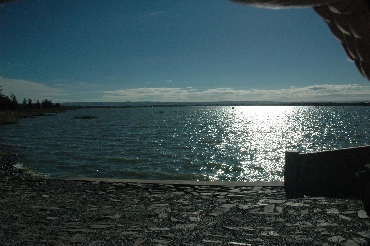
Looking upstream on the Murray River at its very end - at least the end of it as a freshwater river. Goolwa is somewhere there in the distance.
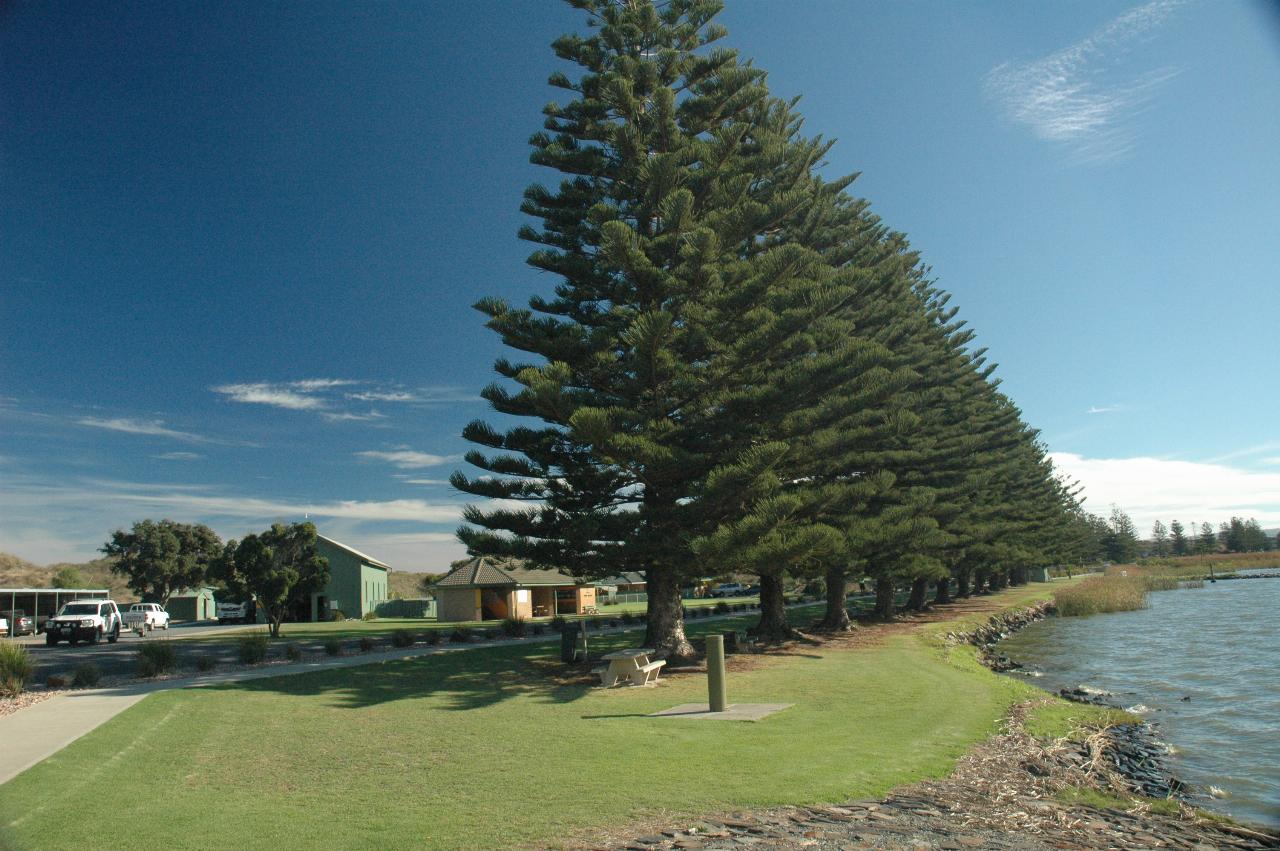
The visitor area at the barrage. Nicely maintained facilities, and plenty of shade for a picnic on a nice day.