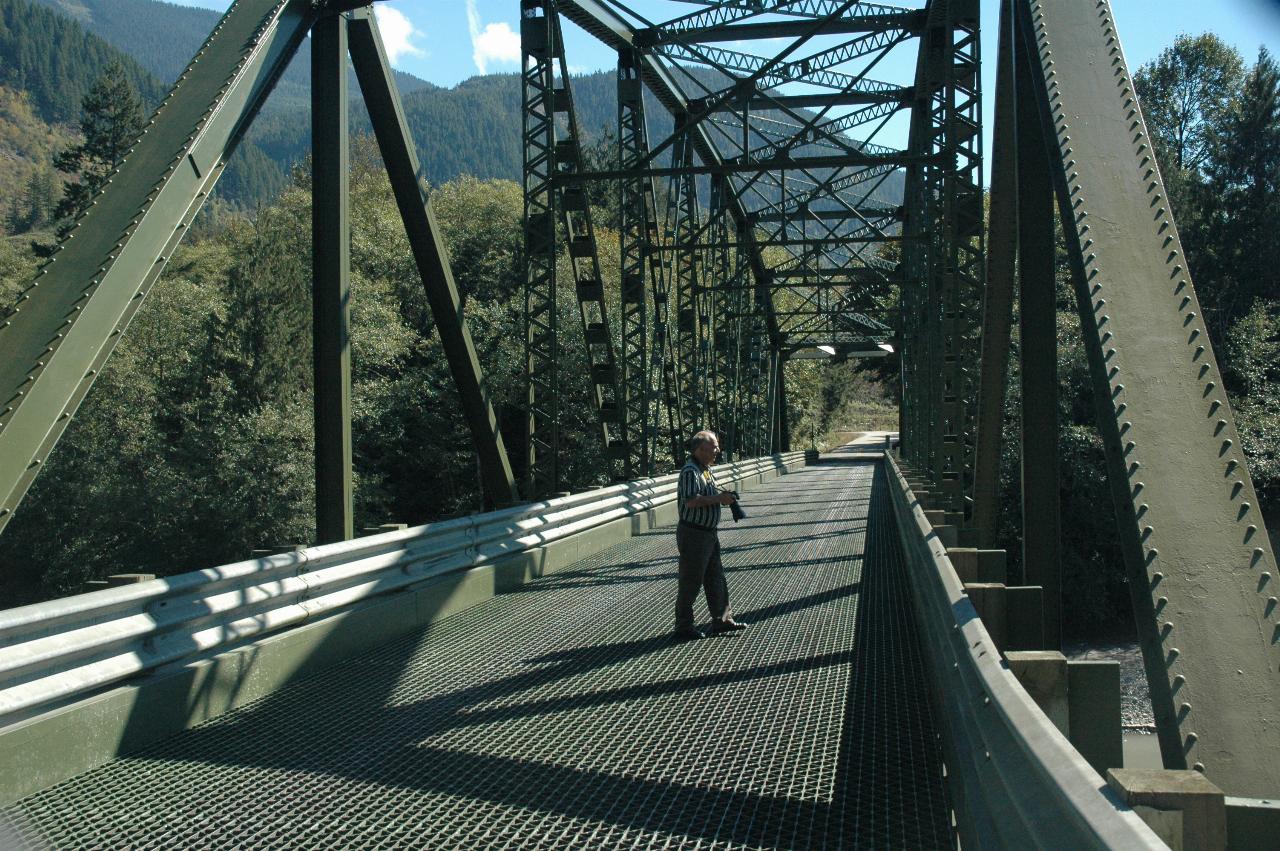
Leaving Concrete we followed Highway 530 towards Rockport and Highway 20. But along the way, we detoured over the Sauk River for a few photos.

Fortunately, there is little traffic on this road; Darrington and Rockport are across the bridge, while the road on this side of the bridge leads directly to Concrete. So, taking photos in the middle of a bridge is OK just here.
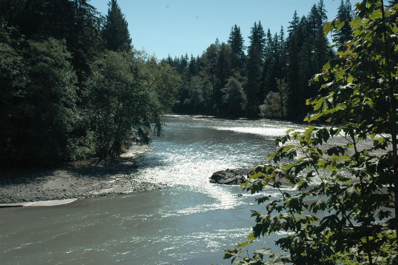
Looking upstream on the Sauk River - that is, back towards Darrington.
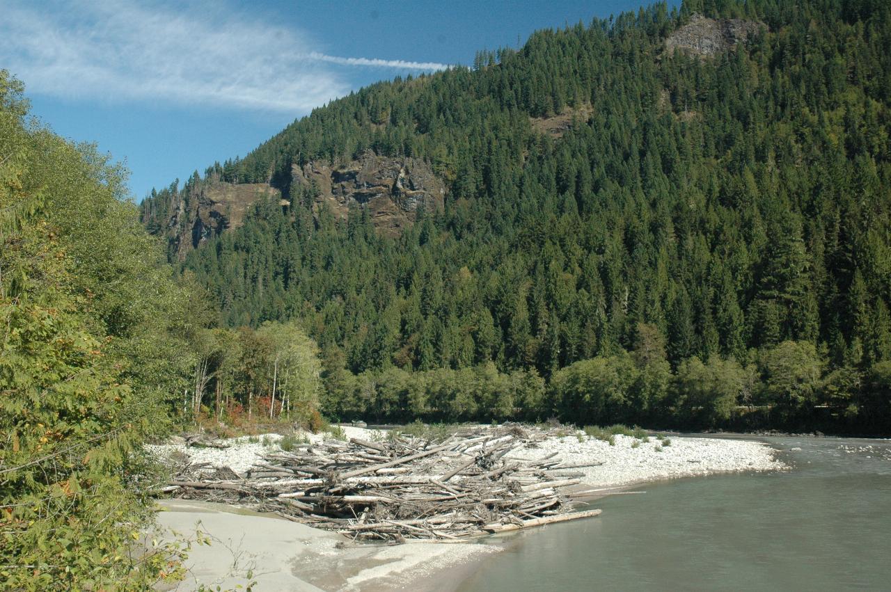
Looking downstream on the Sauk; from here it flows towards Concrete where it joins the Skagit River. Note the logs, a common occurence in this area, as winter storms wash the trees down river when river banks collapse, for instance, or if the trees are blown over by wind. There's also a touch or autumnal colour showing in the nearby trees.
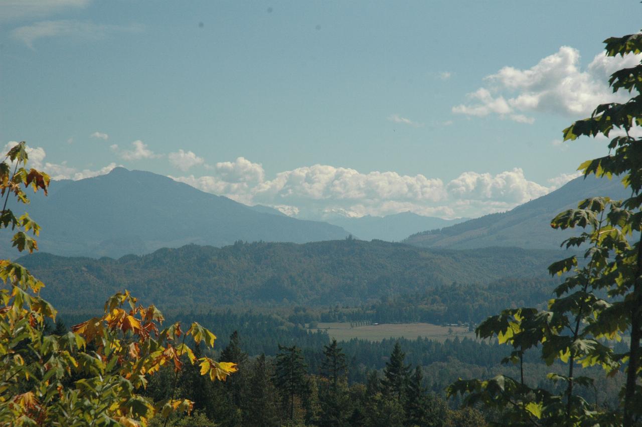
Slightly right of centre is Glacier Peak, one of the Cascade volcanoes. It's obscured by cloud. Concrete is just below, but obscured by trees.
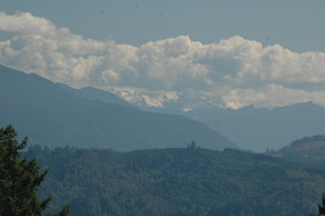
A closer view of Glacier Peak from above Concrete. Still not very visible! You can see the danger these peaks create for planes - the mountain is just not visibly different from the clouds.
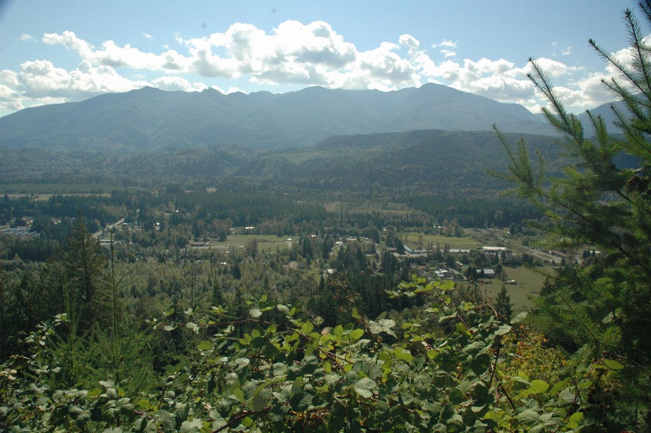
The western end of Concrete below, looking across the Skagit Valley.
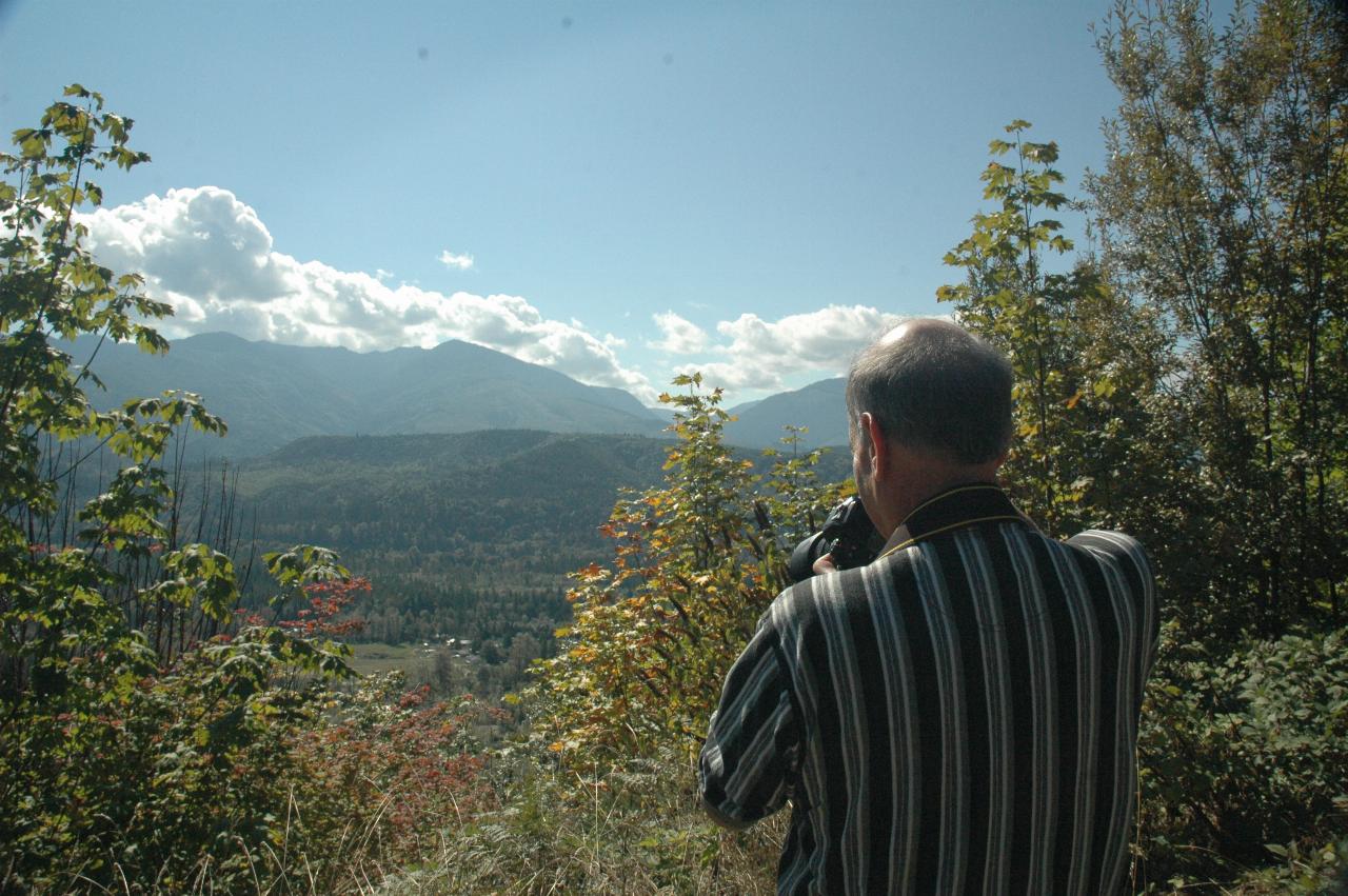
Caution - Photographer At Work.
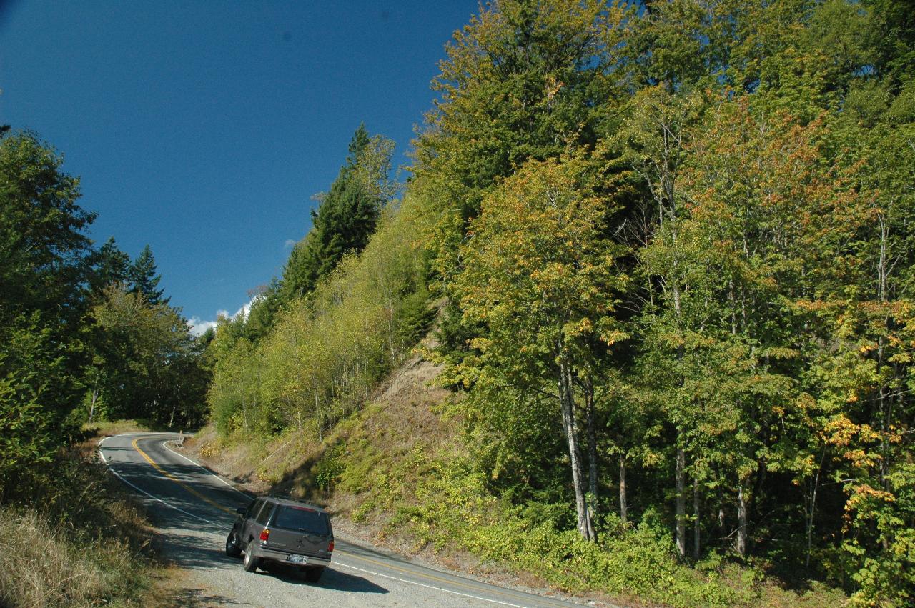
My Explorer. And you can see why it's called Burpee Hill Road! And also the autumnal colours are starting to show. They start sooner at higher elevations and work their way down.
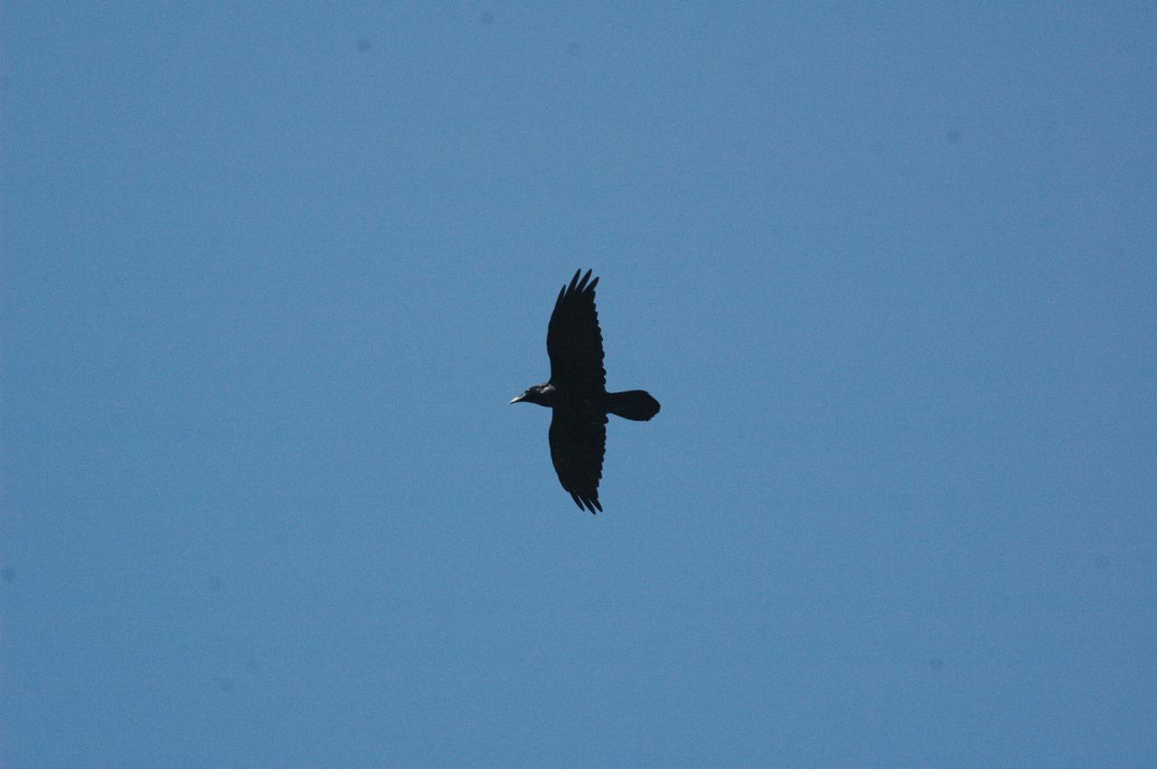
The local wildlife patrol checks us out!