We followed Burpee Hill Road until it terminates at Baker Lake Road, which we then followed towards the Upper Baker Dam, part of Puget Sound Energy's hydroelectric network.

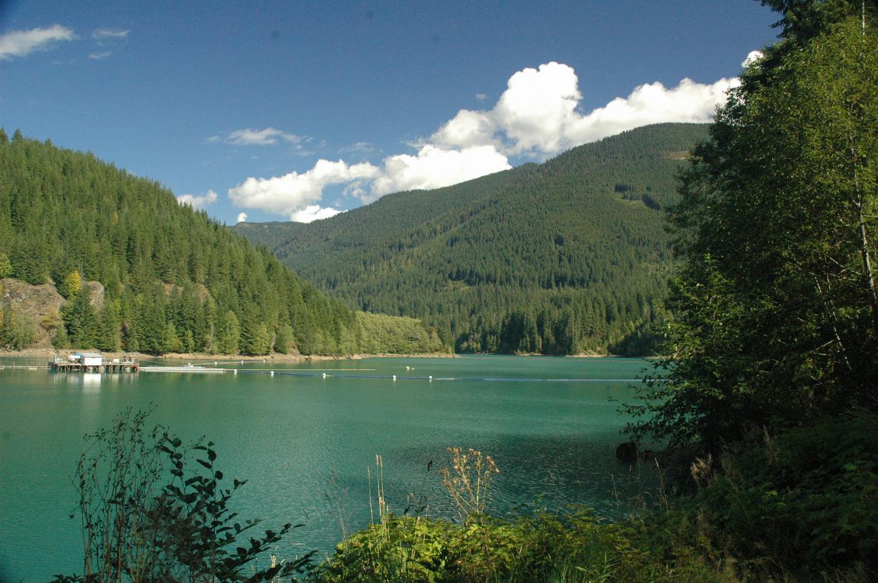
Looking up Baker Lake, from just near the dam wall. Mt. Baker is about 90 degrees to the left of here, perhaps even a bit more. I've only seen it once from this location! Curiously, given that it's the end of summer, and the dry season, the water level is quite high.
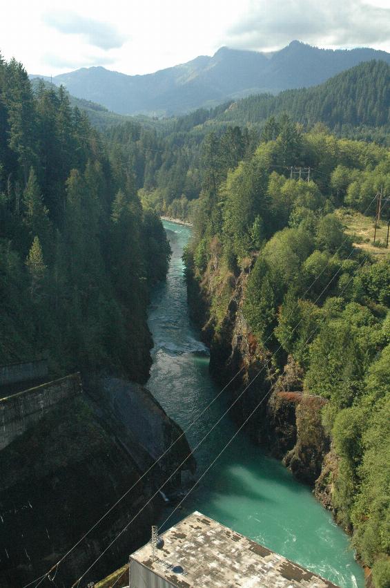
The outflow. The hydroelectric station was operating at this time. Given the flow out of the dam, there must have been a reasonable inflow to keep the level so high. The power station is the building whose roof is visible at the bottom of the image.
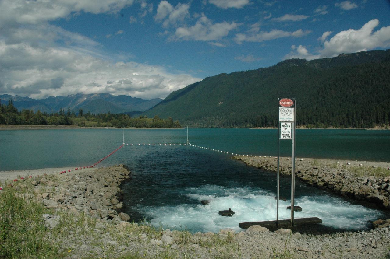
Alas, due to the cloud, Mt. Baker was not visible. And wouldn't be seen in this photo anyway, as the photo was taken facing a different direction! However, Mt. Shuksan is behind the cloud above the horizontal dots in the water. The churning water is being pumped into the reservoir from a catch basin off to the left. This water would otherwise bypass the dam, as the creek flows below the retaining wall (off to the left) used to maximise the lake level. However, as a form of energy storage, water from the basin can be pumped up into the dam during periods of low power usage, and thus run through the dam's turbines when really needed. This is the first (and only) time I have seen the pumps operating!
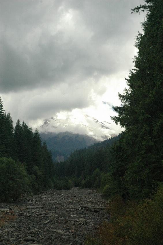
Trust me, Mt. Baker is up there! This is Boulder Creek, which runs from Mt. Baker into Baker Lake. Alas, the clouds never did improve, so this is about all we saw this day. I've always wanted to catch this creek in flood during Spring thaw, but never saw that either.
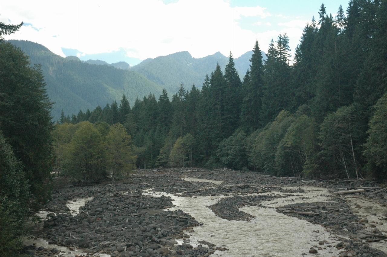
Baker Creek flows on under the bridge and into Baker Lake.
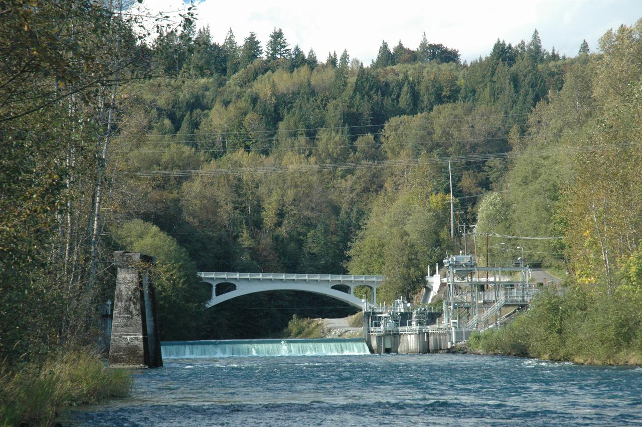
The old bridge at Concrete across the Baker River, photographed, curiously enough, from underneath the new bridge! The structure on the right is used to collect salmon returning to spawn in Baker Lake. As neither dam on the river has a fish ladder (and it would be a real challenge to build one for the lower dam) the salmon are caught here, put in a truck, and carried up to Baker Lake!
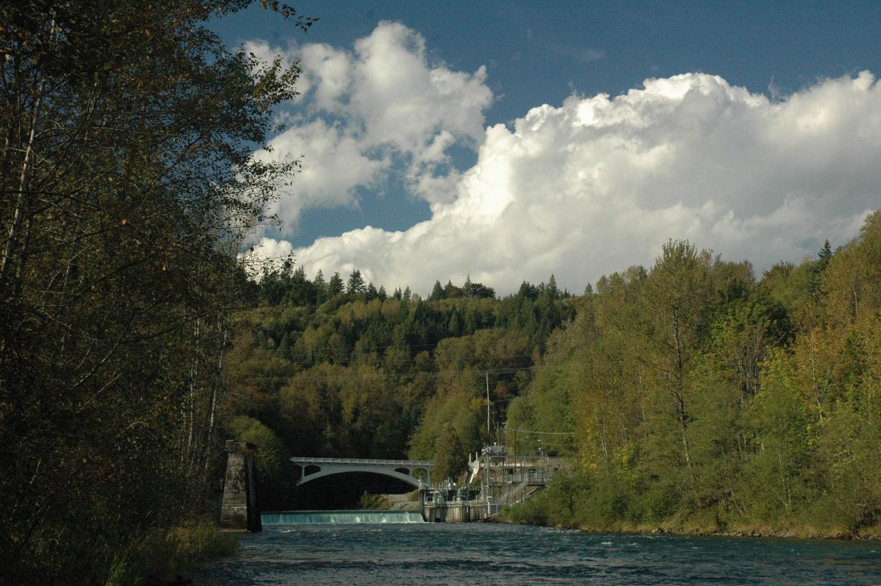
The wider view, showing the autumn tones creeping in. The Baker River joins the Skagit a short distance downstream from here - just a few hundred metres.