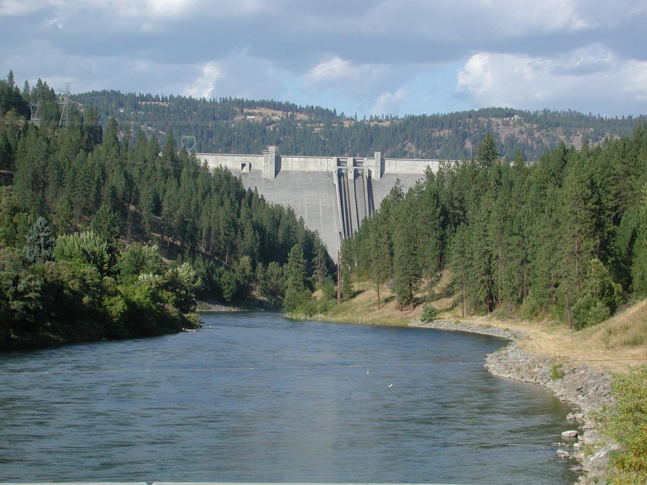

The dam wall as seen from the road into Orofino. By this time of year, the dam is releasing water for power production and irrigation.
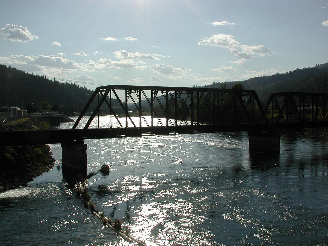
Looking downstream from the same location as the above photo. The main branch of the Clearwater flows in from the left beyond the railway bridge.
It turns out that the Lewis and Clark expedition camped here on September 26th, 1805 because of the availablity of suitable trees to build the five canoes they needed to reach the ocean. The display board provides more details.
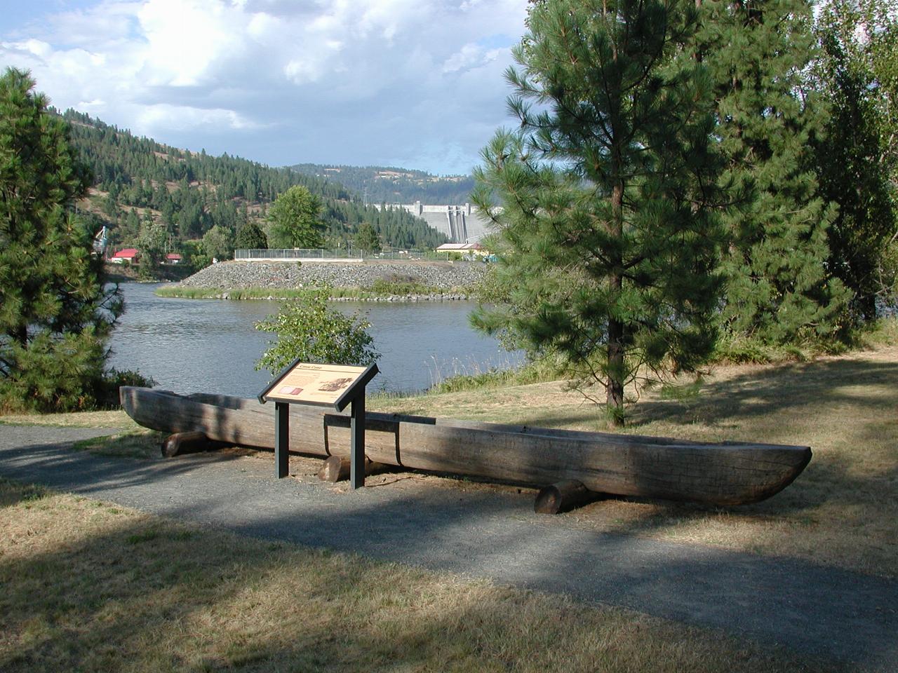
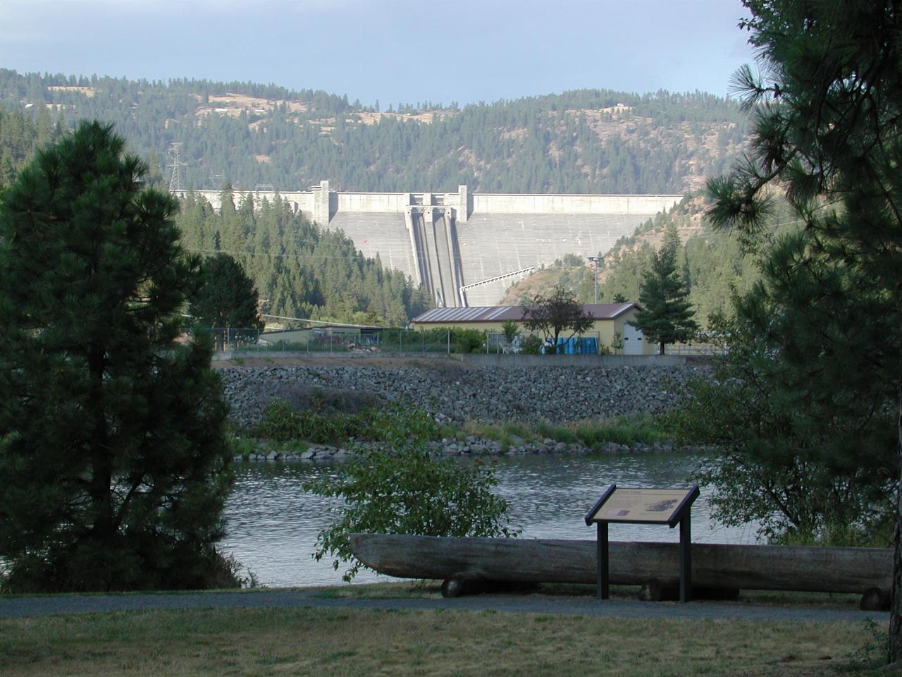
The display board, and a canoe model in the style (and I presume) size used by the expedition. Also visible is the fork in the river, noted in the expedition journal and thus used to locate the camp. Of course, the dam wasn't there!
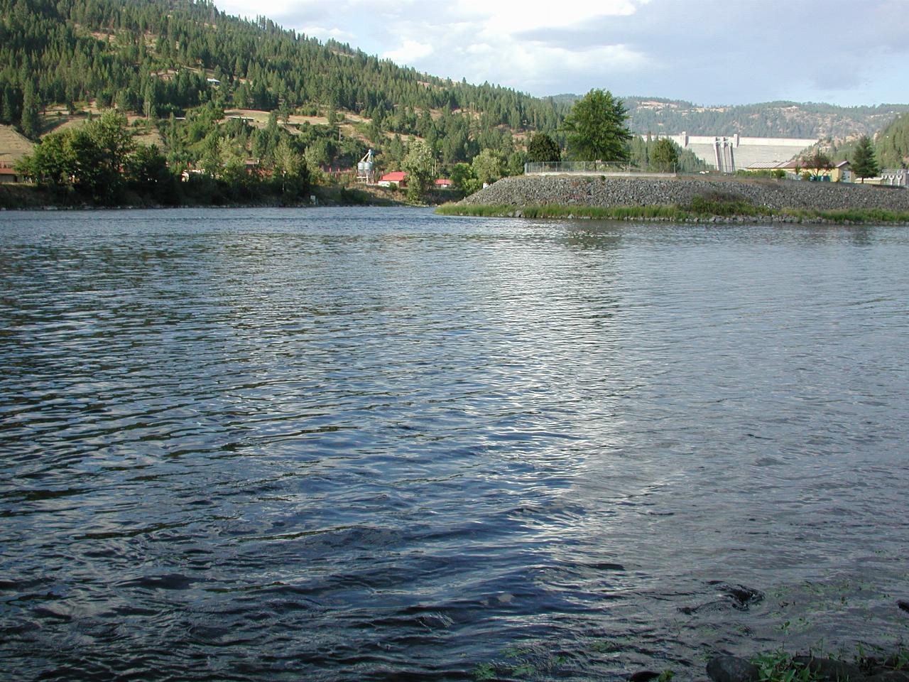
The river fork - the Clearwater in from the right and flowing out the left, with the North Fork coming in from the dam.
From here, it was a case of heading to Pullman to spend the night. While I could have stayed nearby, there were some areas around Pullman which I wanted to photograph, for comparison with the Chase the Snake pictures. The route was west US-12 then north onto US-95 and then US-195 to Pullman. Nothing spectacular, but it was getting late, and I was hungry!