The last few miles of US-95 was quite unpleasant, being an urban ride with uncoordinated (well, they were coordinated to ensure that each was red when I arrived) traffic lights, and many trucks. My plan was to fill up with gas at the exit from I-90 to ID-97. Alas, it was nothing more than an interchange - nothing. So I pulled off to the side of the road, and consulted the GPS for "nearest gas station". In this mode, the GPS lists them in order of nearest straight line distance, which has an indeterminate connection to road distance. I found one that looked promising, specifically which meant I would keep heading towards my destination. After riding a short distance, I realised I wasn't on course any more, so turned back and discovered this route (I think I choose the shortest) headed up a dirt road to who knows where. Figuring that if I was going to run out of gas I'd rather do it on the freeway instead of some bush track, I continued to the interchange. Looked for more gas stations, and found that Coeur D'Alene stations were about 10 miles away. So back I went, filled up, and returned to ID-97.
South of I-90, ID-97 has also been recently resealed, and so there was some loose gravel to worry about. Not too much traffic, and some pretty views of Lake Coeur D'Alene, which is quite large.

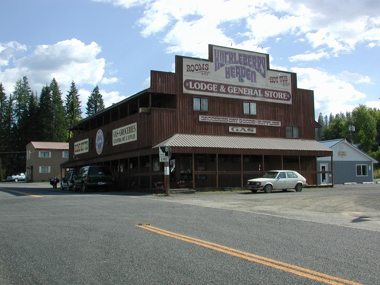
Huckleberry Heaven is the main store in Elk River. It also sells gasoline, although I didn't neet any. And, of course, (and the reason for going there!) they sell huckleberry pie by the slice. Hmmmm, Hmmmm, Good! Especially with huckleberry ice cream. While eating this, I was looking at some interesting old photos hanging on the opposite wall. Elk River has obviously changed since it's hey day - the railway has gone, and now the major industry appears to be tourism.
Elk River used to have a large sawmill (I don't think it's still there, but I could be wrong), and a railway line. The roadbed for the railway is visible paralleling the road in, and there's at least one bridge - rather new looking - which crosses where the track used to be.

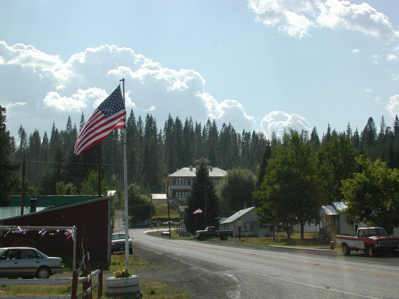
The large building in the middle of this photo is the public school. At least, that's what the sign on it says. However, it's not obviously still being used as a school - nor is it obviously being used for some other purpose.

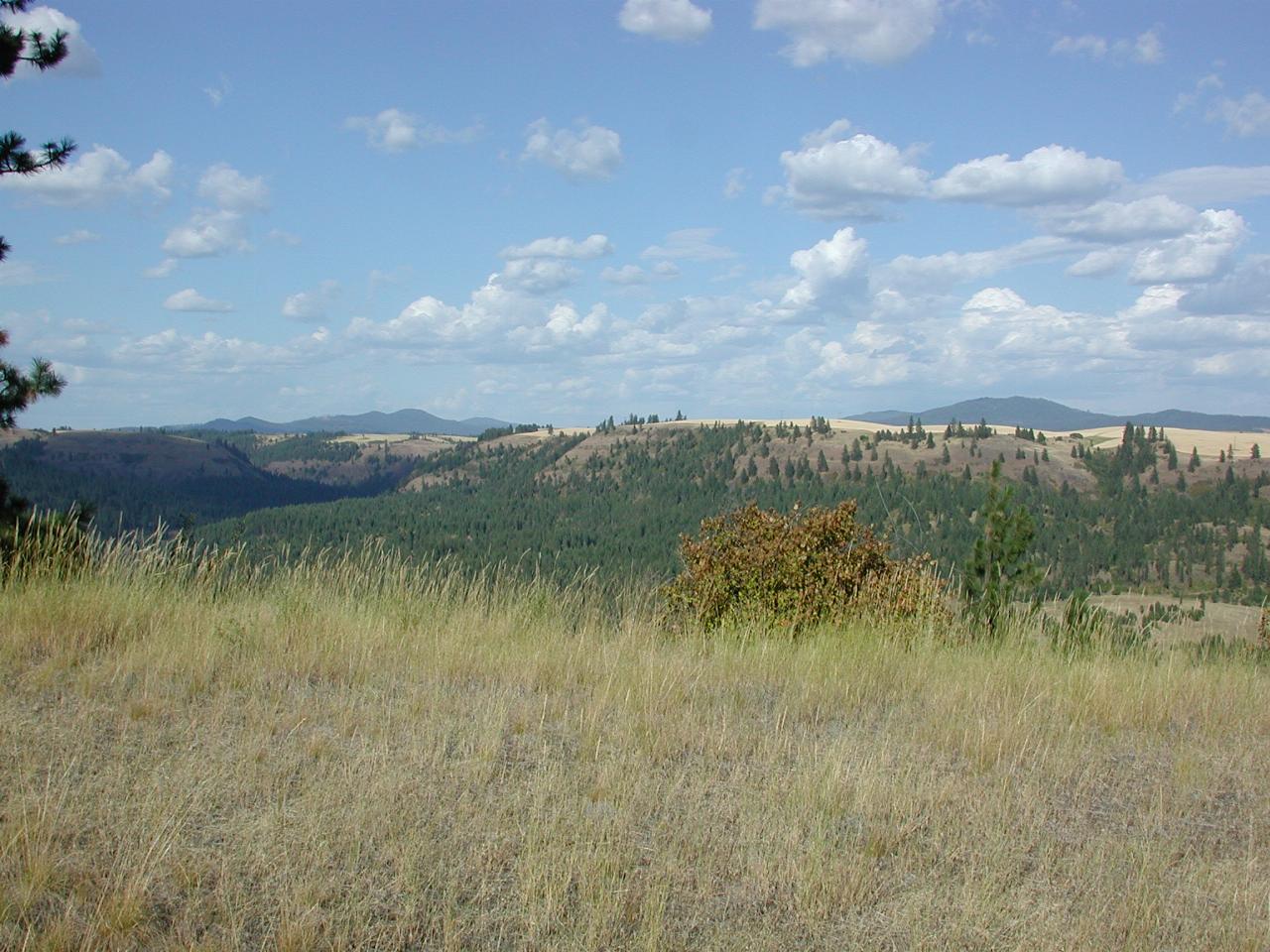
As the road starts its descent to Kendrick, there's an area to pull off and take some photos. So I did. This one is looking roughly east, showing the flat lands used for agricultural activities.

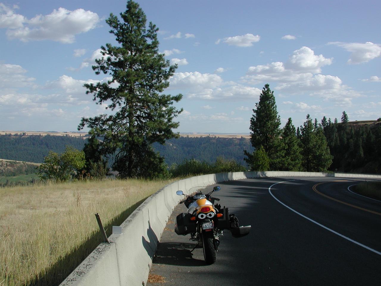
From the same location, looking roughly south.
After reaching the bottom of the hill, it's time to take route P-1, which heads back up the valley, roughly in the direction of the first photo above. It traverses farming country until it drops about 2000 feet in 2 miles down the Ahsahka grade. Another fun ride! And that's just near Orofino, and across the Clearwater River from US-12.