Pend Oreille River
Pend Oreille River
It's pronounced "Pond O'ray" - just to set the record straight!
Leaving Colville on SR-20, there's a new section of chip seal road,
still being sealed and tweaked. And not much traffic either, although
I did manage to be stuck behind a large truck for several miles
of "No Passing". The road travels through mixed farm and forest
country, and a couple of lakes. Some of the way is through the
Colville National Forest, which is typical of forests on the dry side,
namely less dense than those on the wet side.
The road heads down towards the (north flowing) Pend Oreille River,
meeting the river and SR-31 at Tiger. Which appears to be a junction
town (two buildings, one of which is a no-longer gas station)
no longer in use. But I could be wrong.
SR-20 then turns south following the Pend Oreille River to Newport.
Actually this direction is upstream on the river!

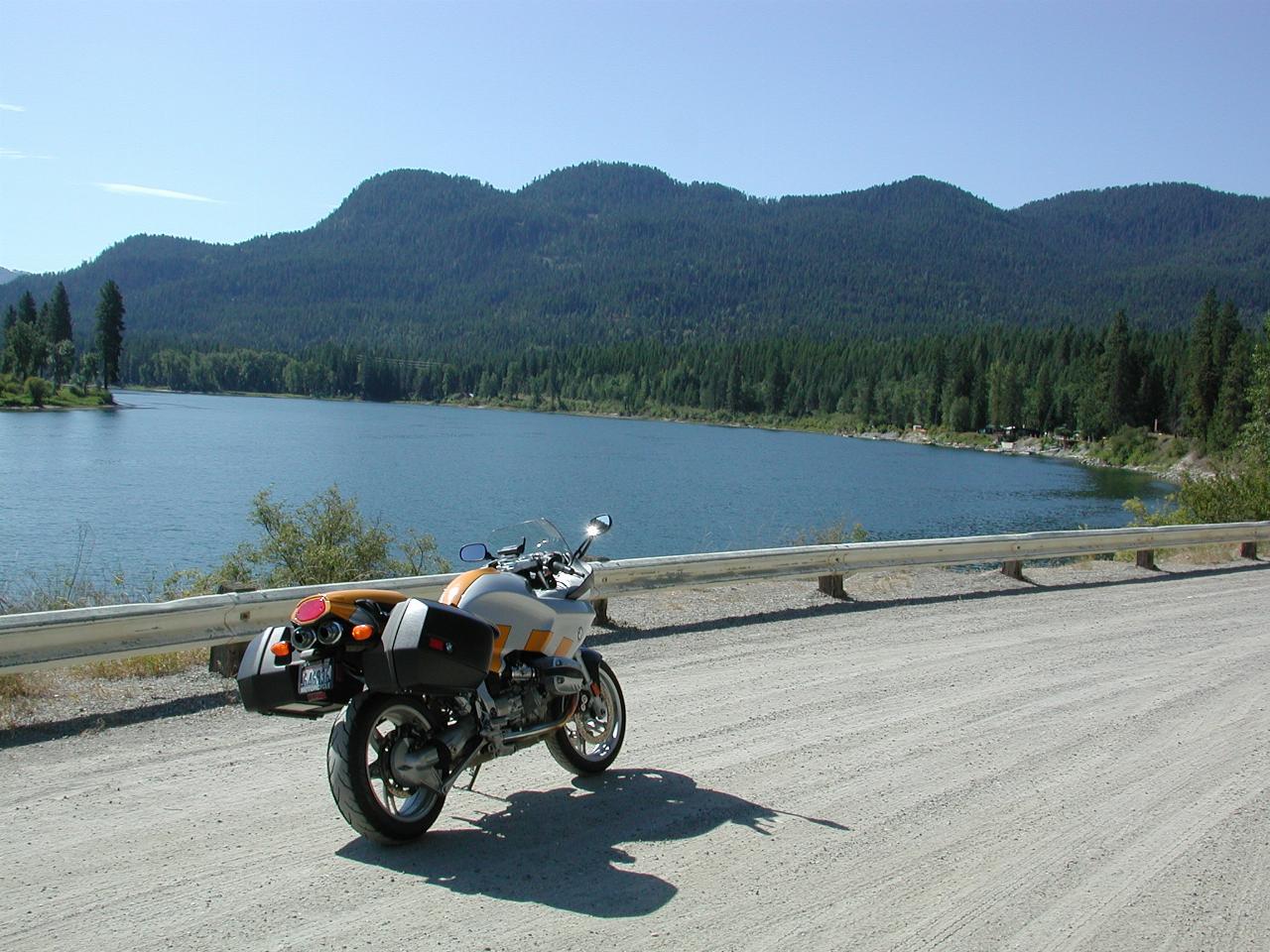
Just a stop along the river.
Albeni Falls Dam
Newport is on the Washington side of the Idaho border. Within
spitting distance of Newport, but in Idaho, is the
Albeni Falls Dam.
(It's pronounced Albany!). Developed originally by Albeni Poirier,
a 26 year old French-Canadian farmer living in Idaho, as a fishing
resort, and a stop on the railroad, the falls are now covered by the dam.
There is a
display board
with the historical details.

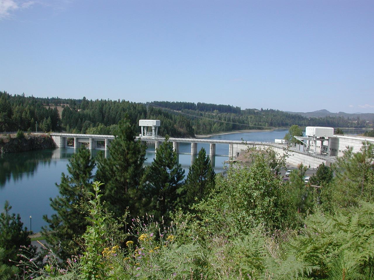
The upstream side of the dam wall. Newport is located on the far
right hand side of the picture, above the top of the white box
(a crane). The wall on the left is the dam spillway, while
the structure on the right is the power station.

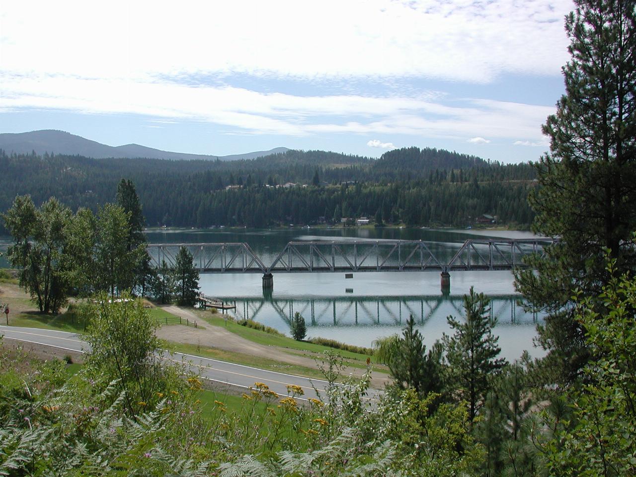
Looking a liitle to the left of the above photo.
Access to the road is no longer available, after September 11th.
The bridge is for trains.
Lake Pend Oreille
At Newport, SR-20 reaches its end, and the journey then followed
US-2 into Idaho. This road follows along the edge of Lake Pend Oreille,
formed by the Albeni Falls Dam.

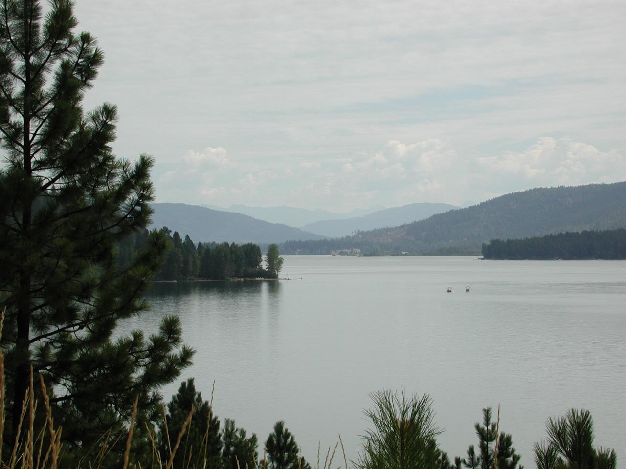
Looking along Lake Pend Oreille, which is 68 miles long, with a
mximum width of 6.5 miles and a maximum depth of 1,237 feet!
That's quite a lake.


