I programmed the GPS unit to take me directly to the motel. This would not have been hard anyway, since it is the first on the way into town from the west. However, the GPS routes have strange ideas at times. One of these was nearing Okanagon. I suspect I asked it for the shortest distance (as opposed to the shortest time or off-road). Following along SR-20, the GPS said turn left. The road said "Town Dump". Hmm. I'll just stay on SR-20, thank you very much. Of course, the GPS soon enough figured out that I ignored it, and recalculated the route, using the road I was on! But there are many nice features of the GPS, such as knowing how high the passes are (some signs appear to be wrong!), and it's possible to see the elevation changing while riding along. It's also nice to have maps of towns and other nearby features.
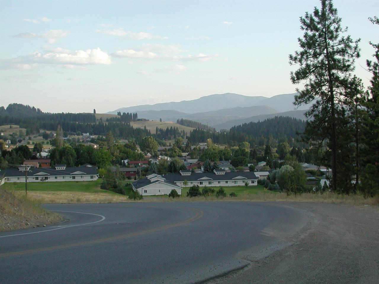
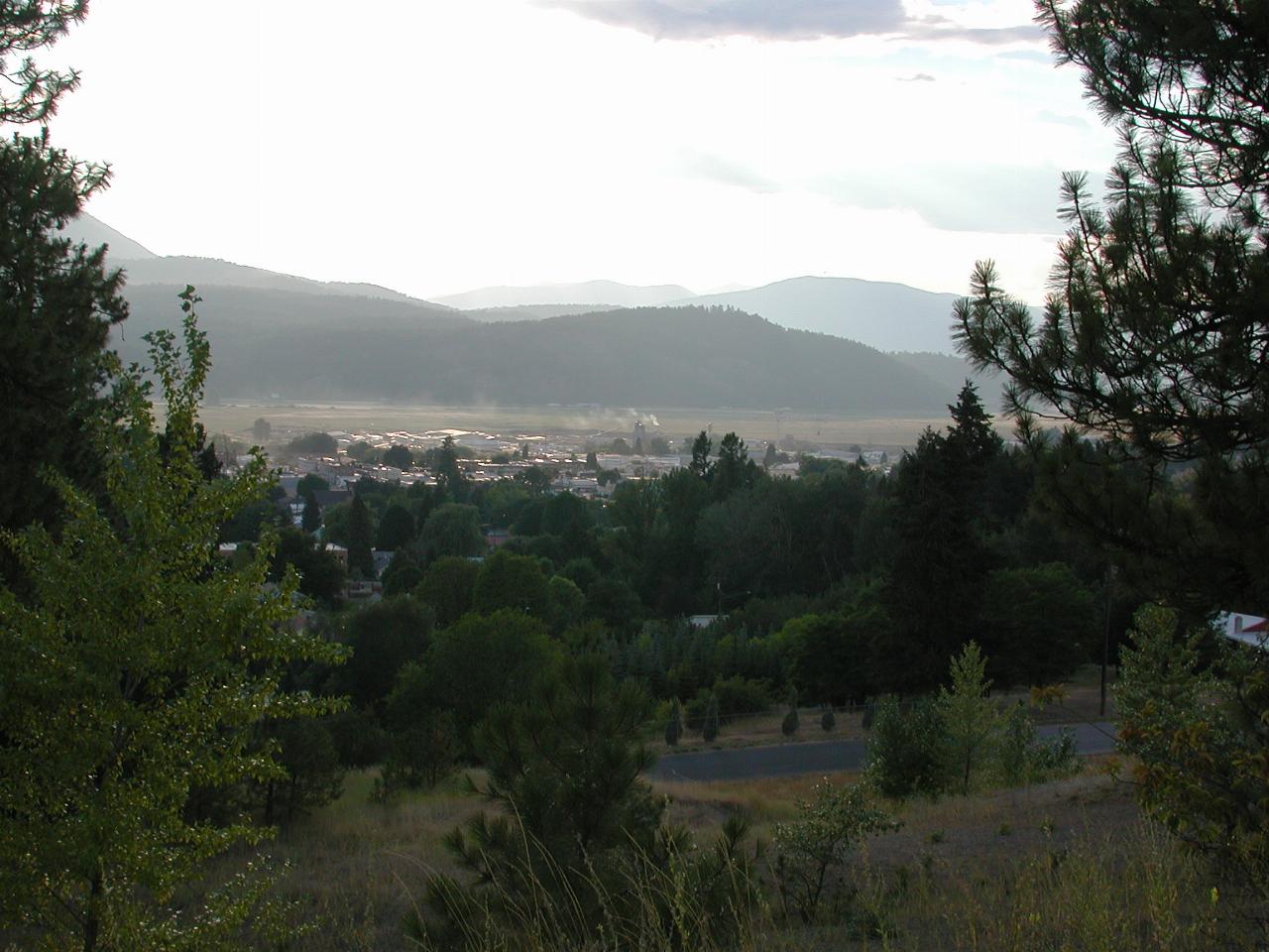
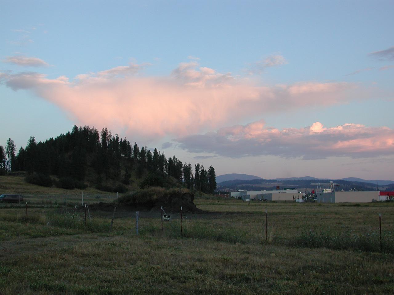
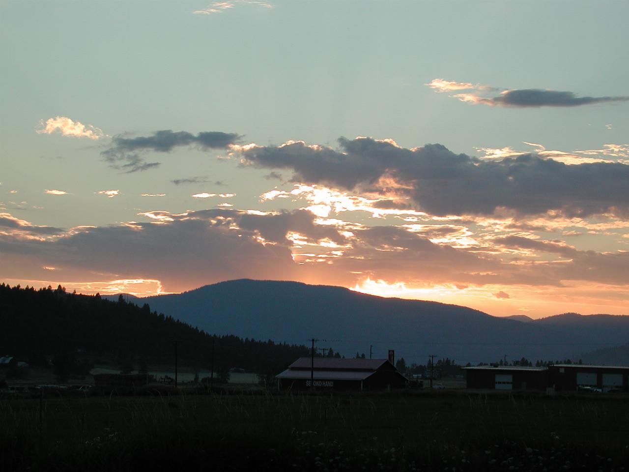
Arrival time in Colville allowed a reasonable time to settle in to the motel (where the folks at the checkin said I could leave my bike outside the front door - well lit, visible, under cover) and then find a place to eat. After that, it was picture time. Here again, the GPS was quite useful, as it had a map of Colville, and thus I knew the names of the streets I was on. And if they went anywhere.

From somewhere near the airport (light aircraft only), looking south, more or less.

From about the same location, looking roughly west.

From the west end of town, looking towards town.

And as the sun sinks slowly in the west...