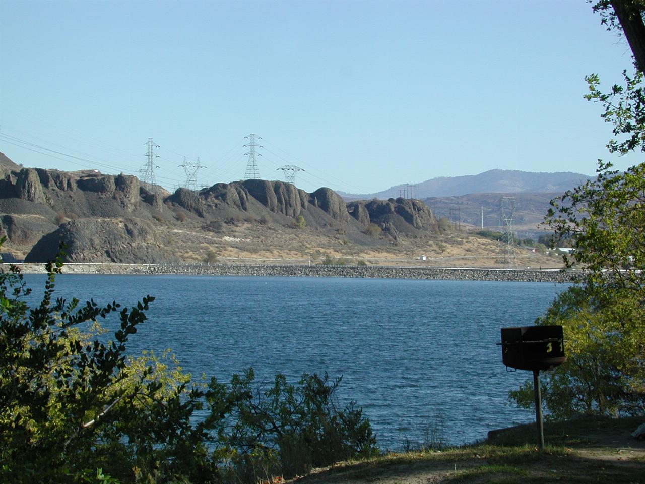
Banks Lake was created when two small dam walls were built at the ends of Grand Coulee, which (perhaps curiously) is located on a plateau above the dam named after it! The water from the dam is pumped into Banks Lake. It can also be allowed to flow back into the dam, and so used to generate additional electricity. The water from here is used for irrigation in southern central Washington.

The wall at the northern end of Banks Lake. The transmission towers in tbe background take the power from the dam.
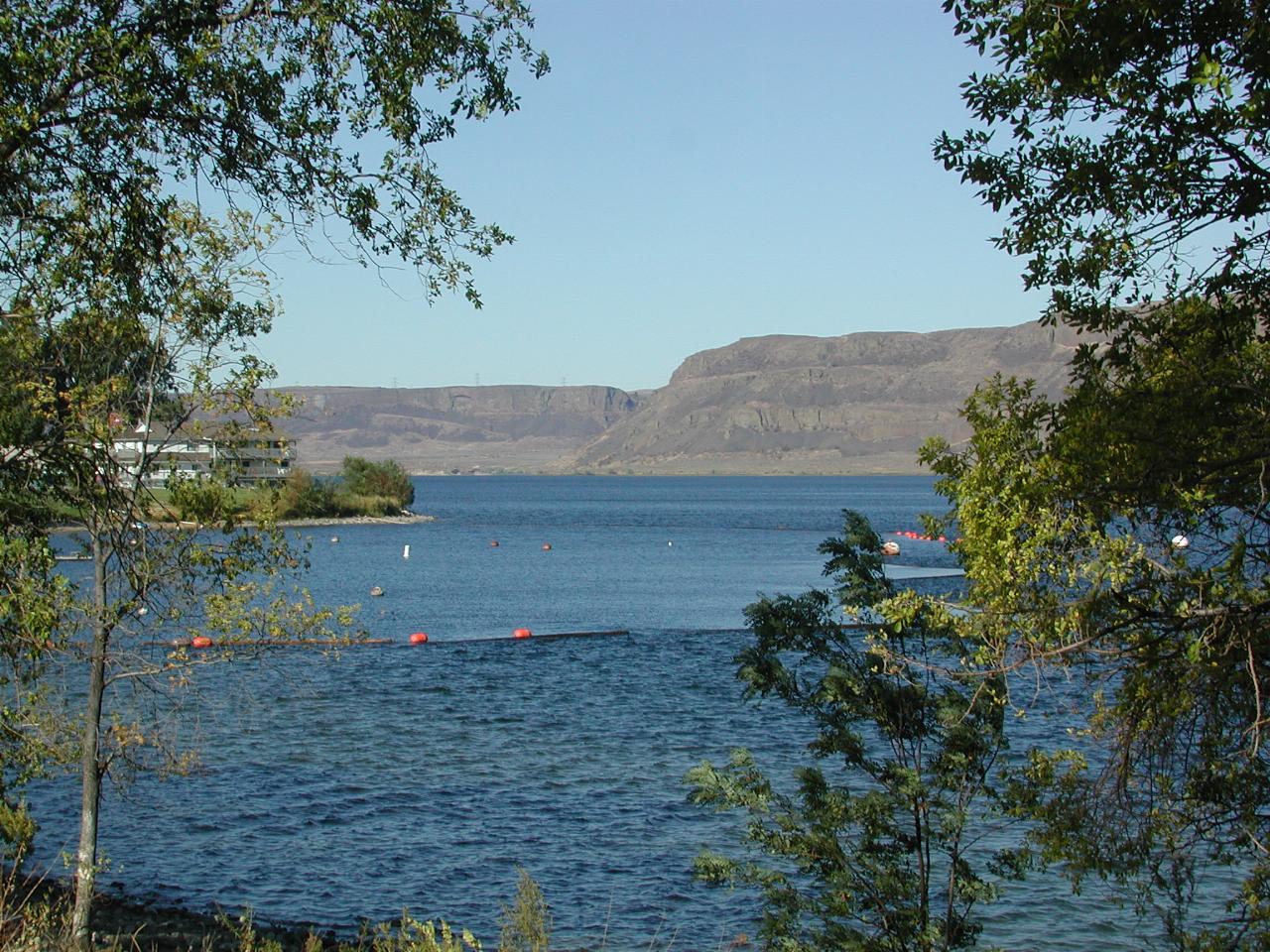
From the same location, looking south.
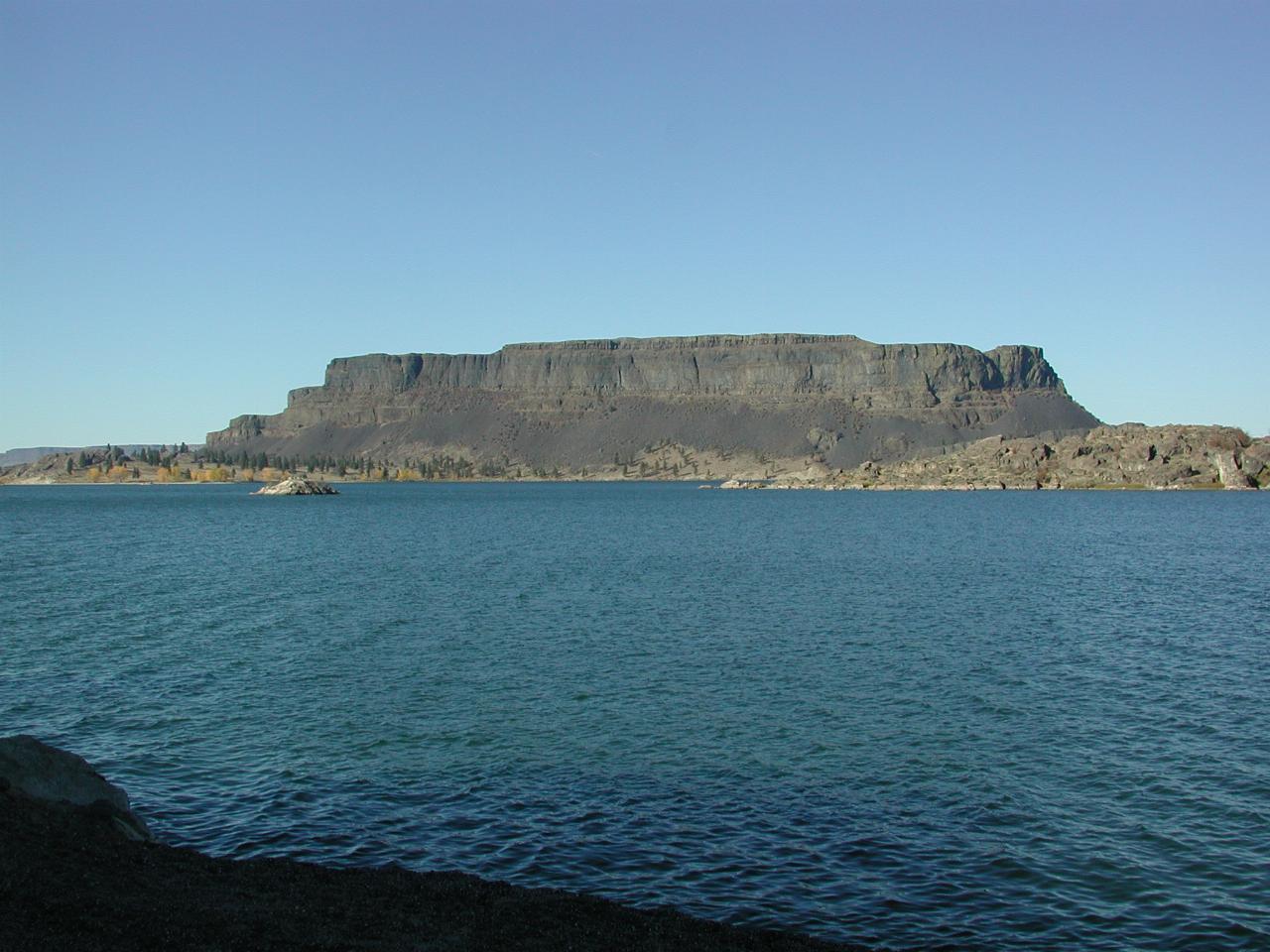
Part way down Banks Lake (which is 25 miles/40 km long). The left end of the rock is a state park.
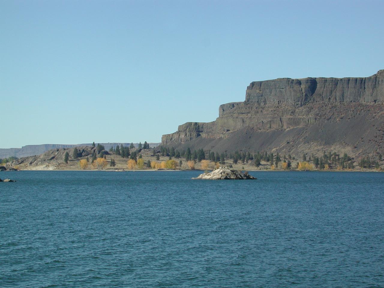
Part of the state park.
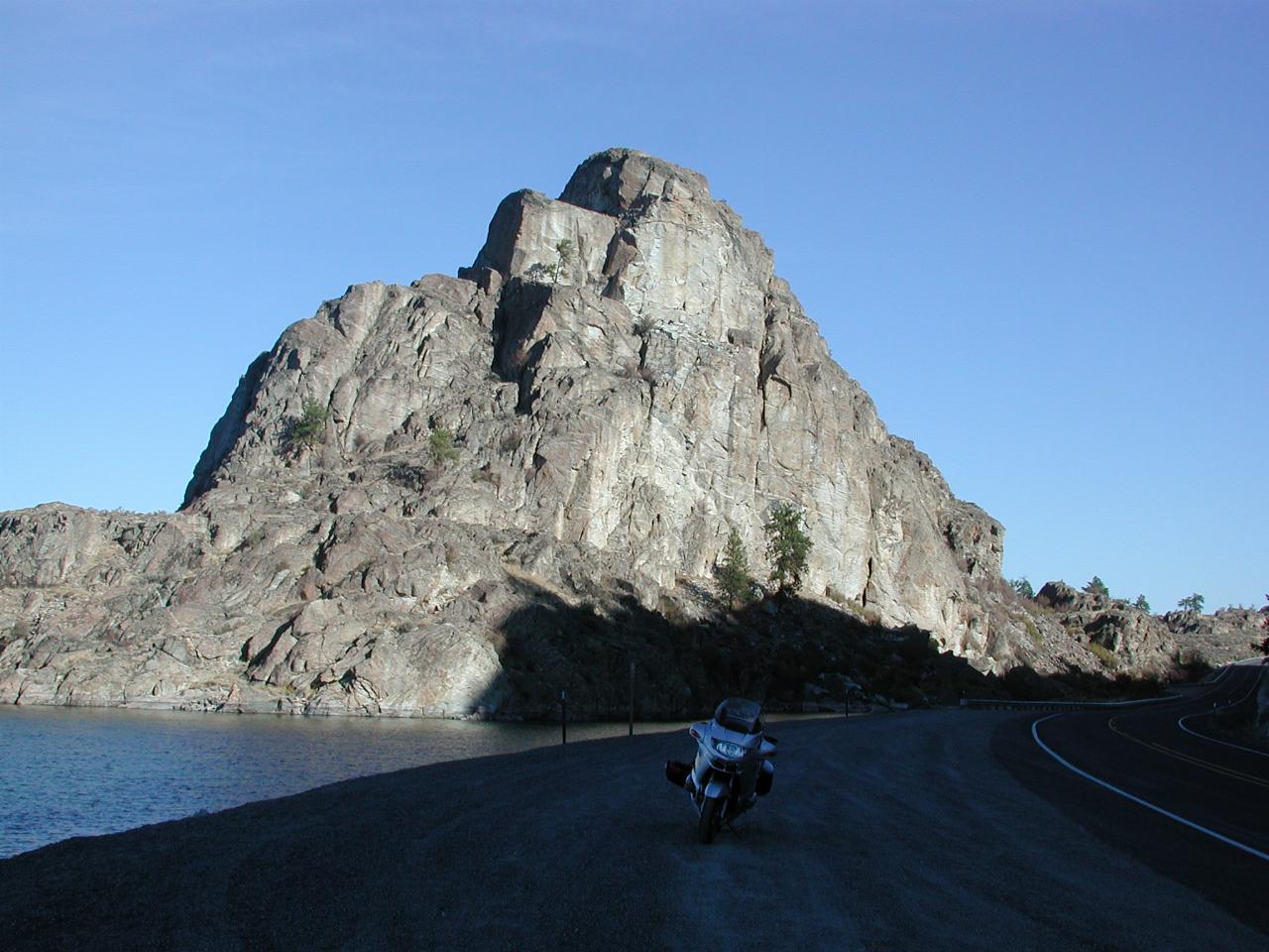
There are numerous places on the side of the road to pull in.
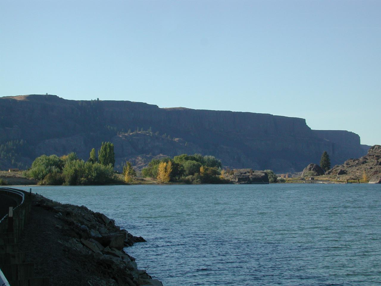
Some autumn colour
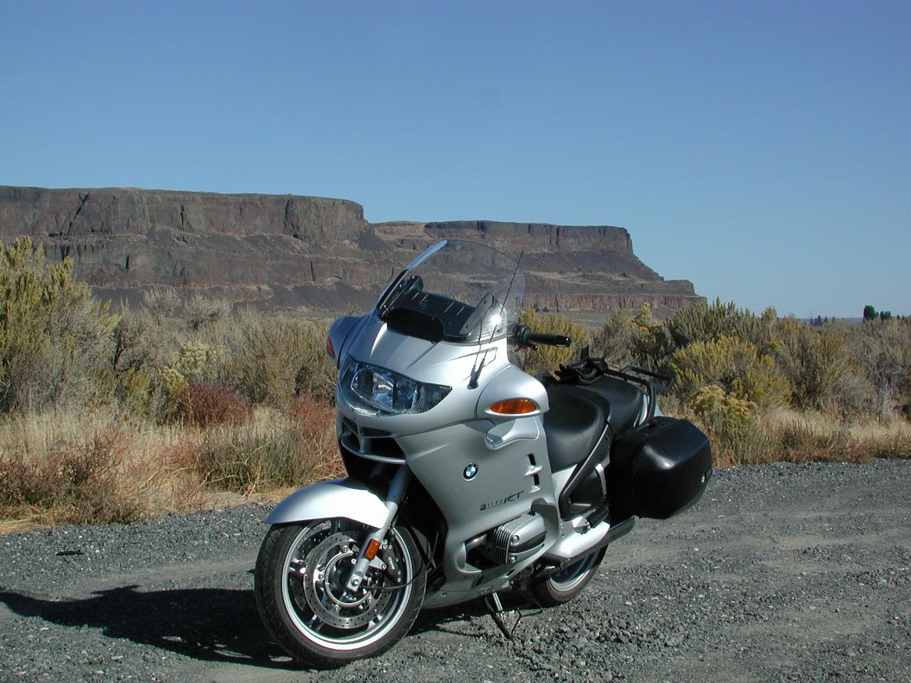
Steamboat Rock, viewed from the road into the state park.