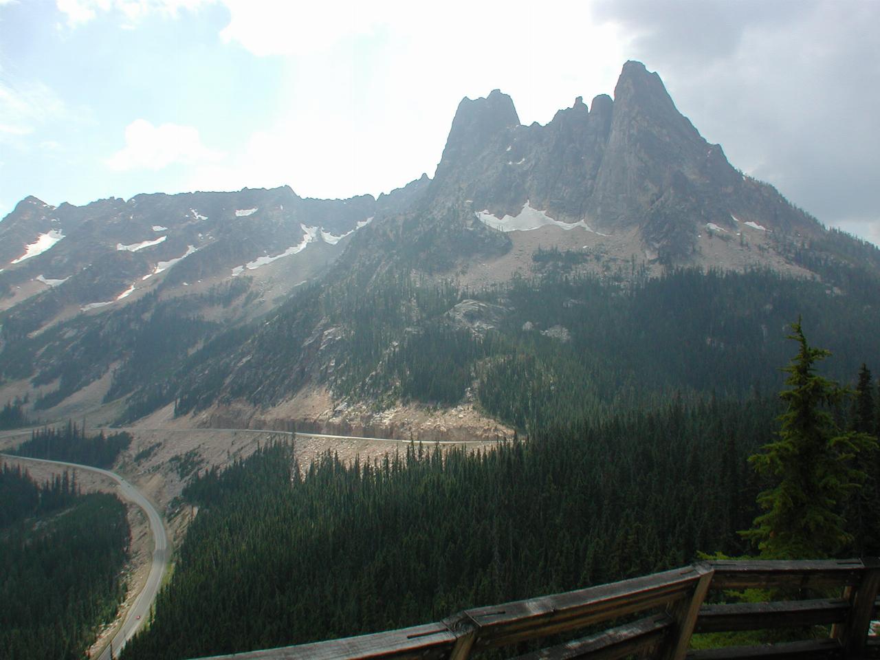

The mountain on the right is Liberty Bell, the one immediately adjacent is Early Winters Spire and finally Cooper Peak on the left. Also visible is the road heading down.
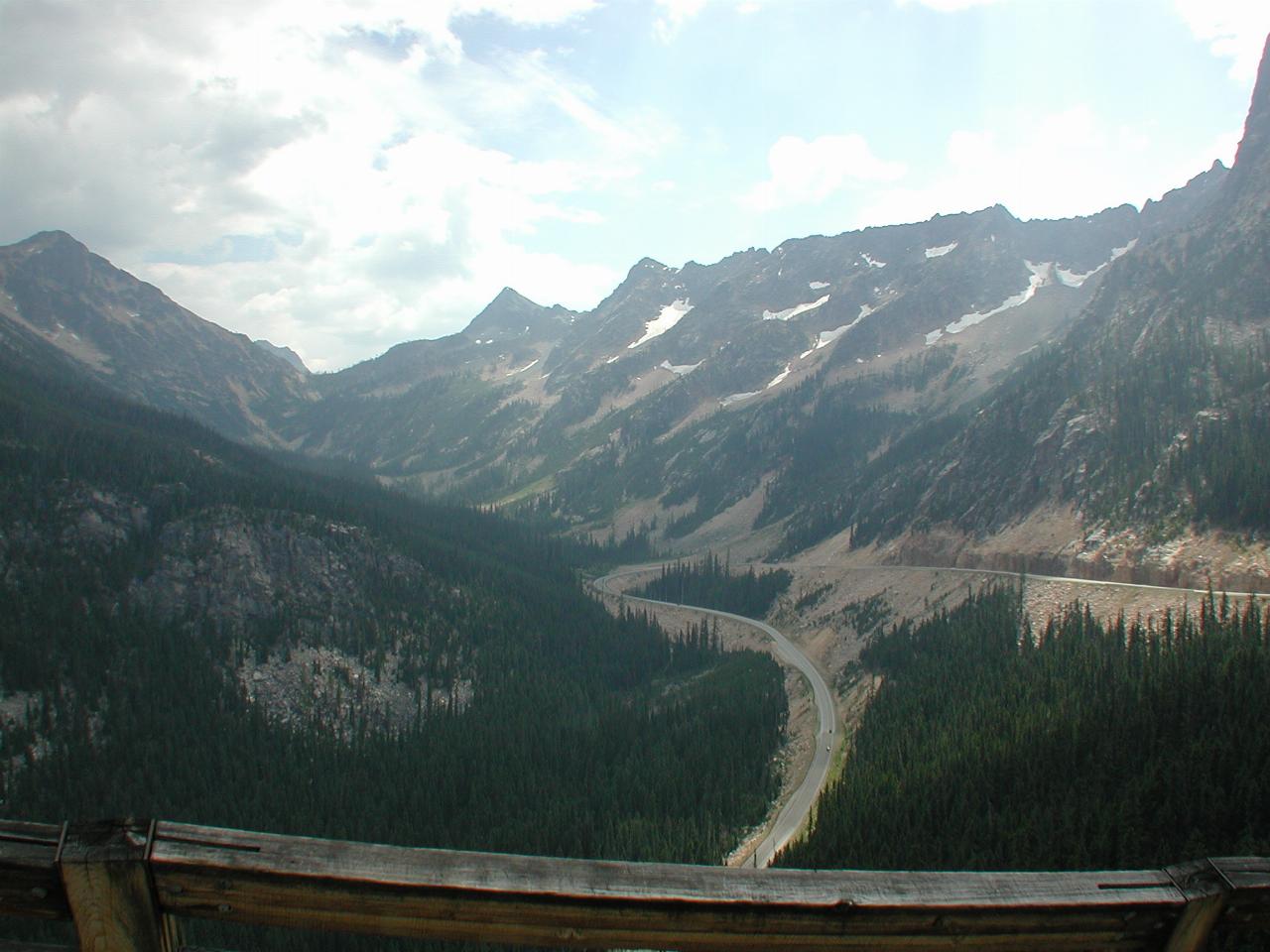
Looking towards Cooper Basin, with Cooper Peak slightly left of centre.
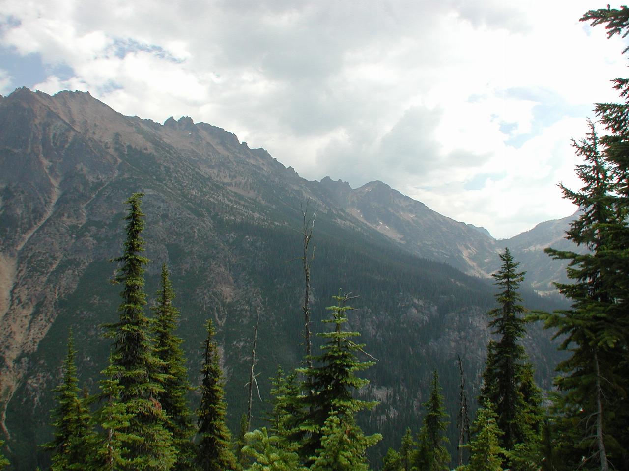
Kangaroo Ridge is on the left of this image, while Cooper Basin is on the very right.
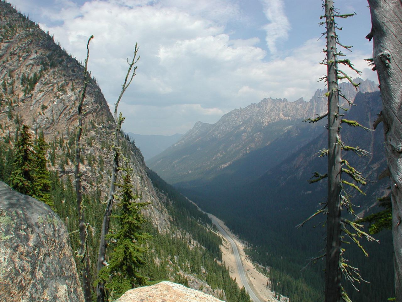
Looking down the Methow Valley, with Vasiliky Ridge about mid picture, and Silver Star Mountain to its right.
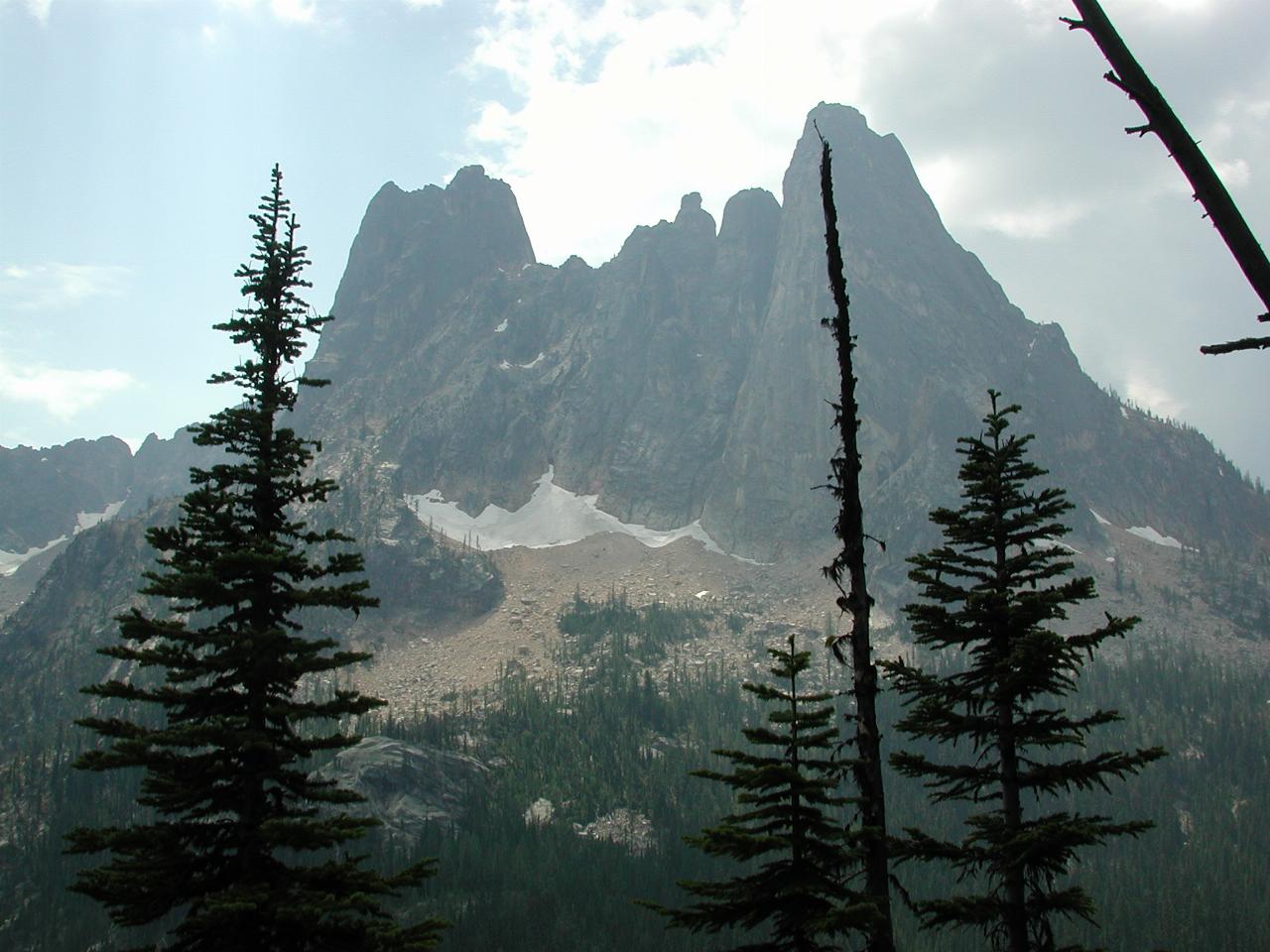
Close up of Liberty Bell (right) and Early Winters Spire.
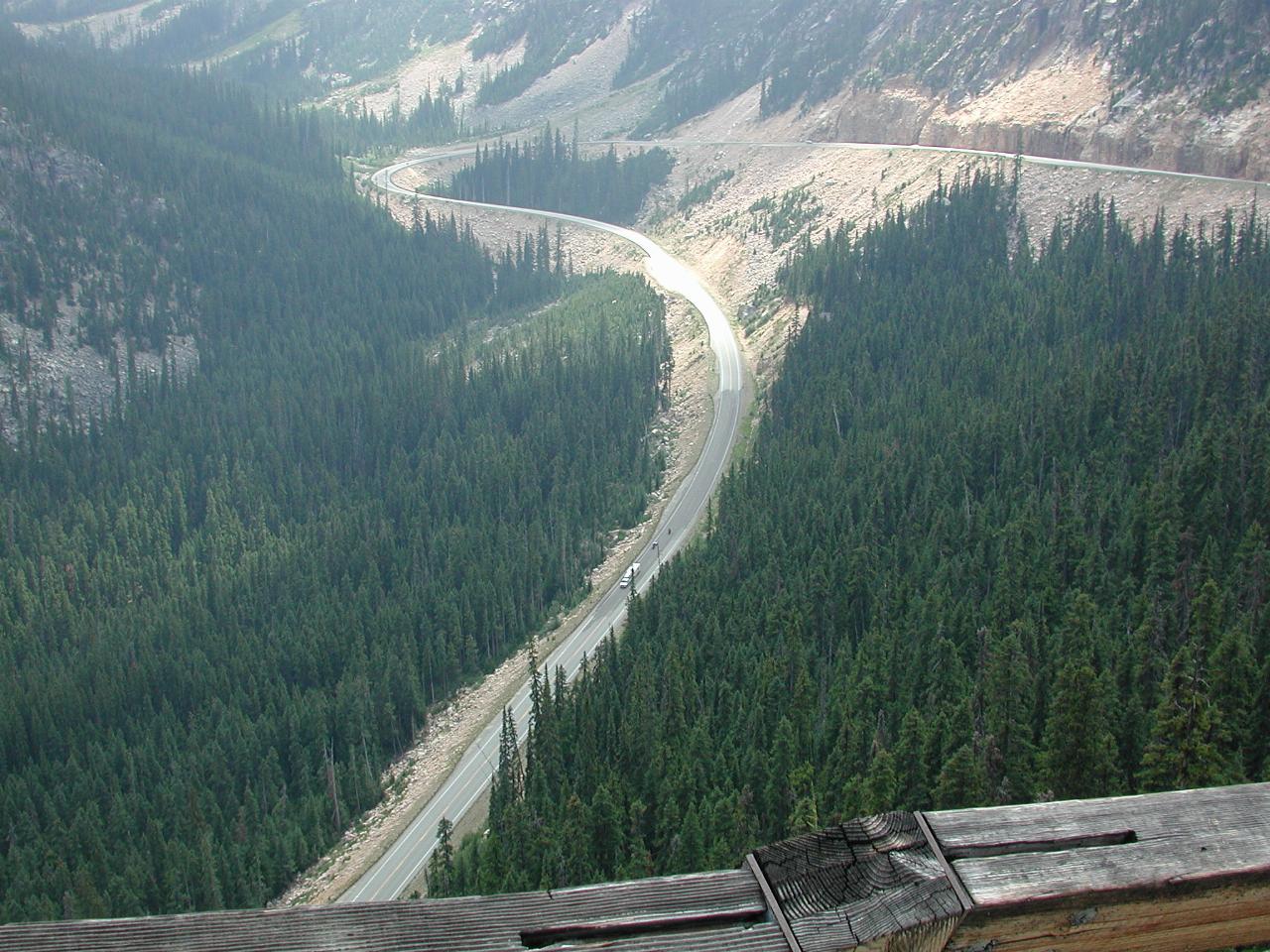
The road is a LONG way down, as a couple of motorcycles are JUST visible (larger image) behind the large vehicle. I believe this is the section of road which takes the longest to clear of snow before the road is opened in late Spring. The problem is the numerous avalanches from the mountains which results in a large amount of snow on the road.
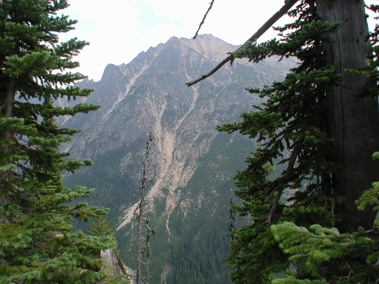
Closer view of Kangaroo Ridge, with plenty of signs of rock erosion resulting from the freezing winters.