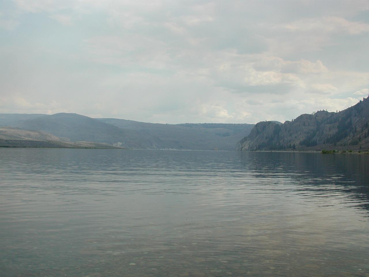

Looking south down the Columbia River (here called Pateros Lake) towards Wells Dam (not visible in this image!).
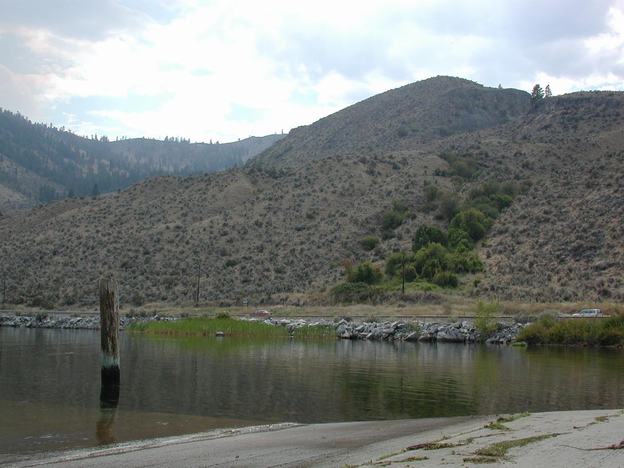
Eastern Washington really is quite arid - the Cascade Range stops most of the rain from reaching here. So, the hills are quite sparsely vegetated, although further back into the mountains there are sparse trees. Of course, the river bank is quite lush!
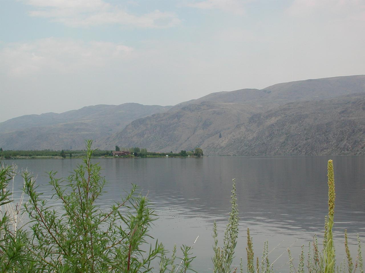
Another lush oasis - this time, a small peninsular. I expect it is irrigated from the copious water available.
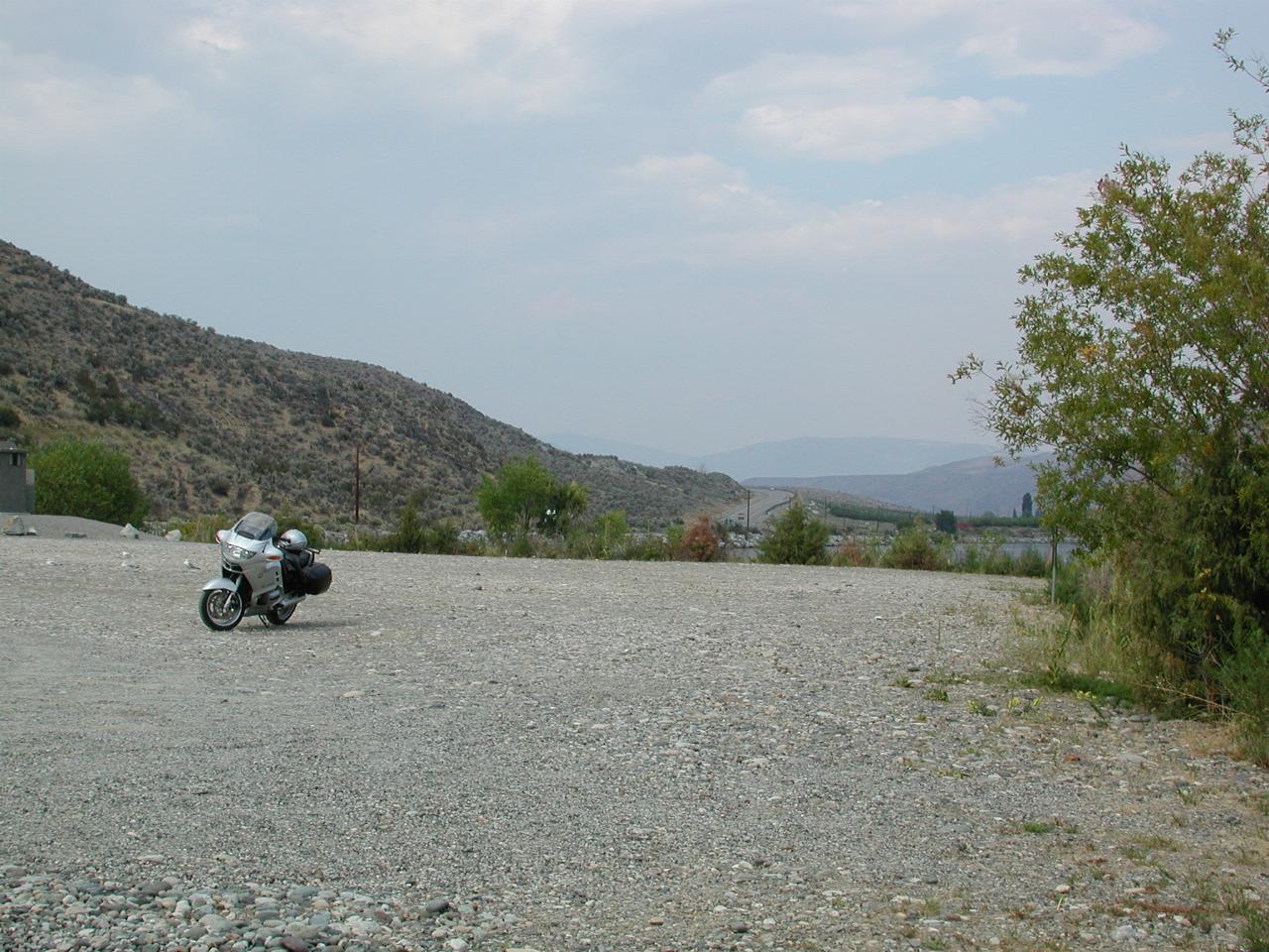
Parking was quite a problem!
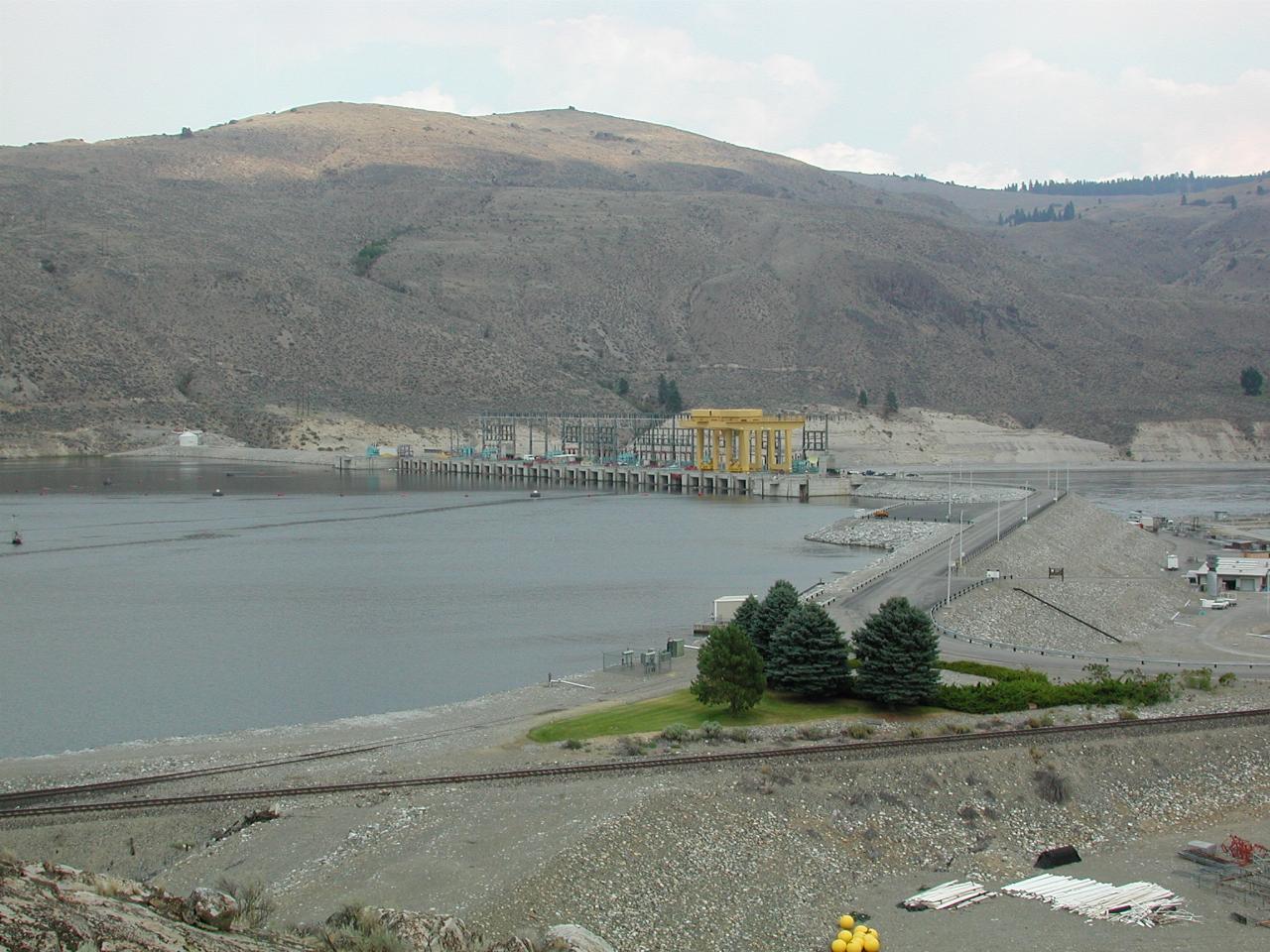
Wells Dam is both concrete and earthen construction. It generates electricity using the flow of the river (which in the Columbia is quite a lot of water) rather than height.
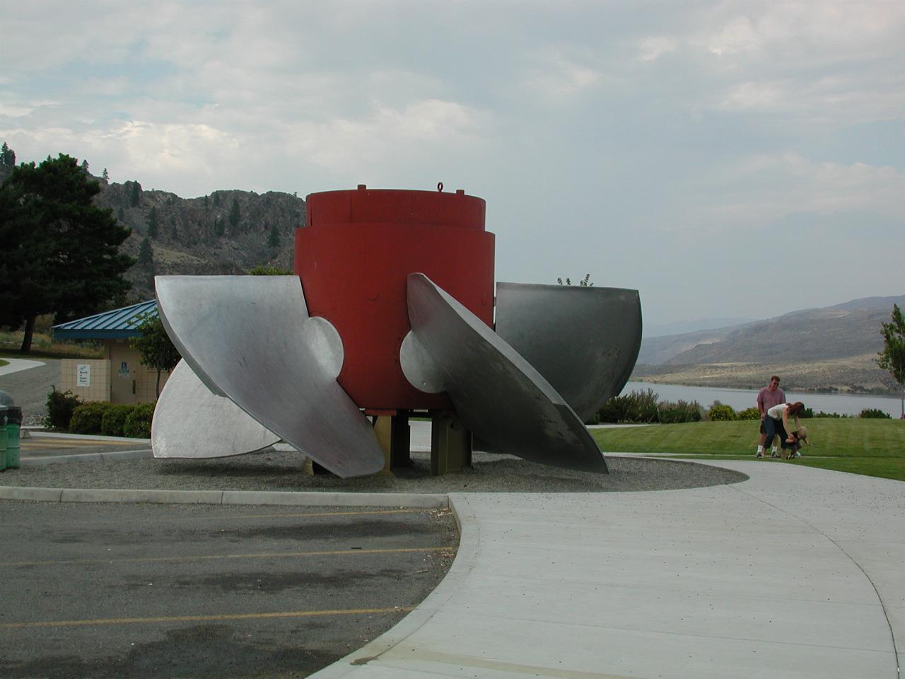
One of the turbine runners from Wells Dam. They are quite large! The blades are rotated to control the amount of power recovered from the river.
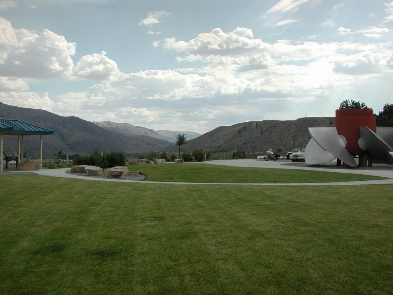
The visitor area at the dam.
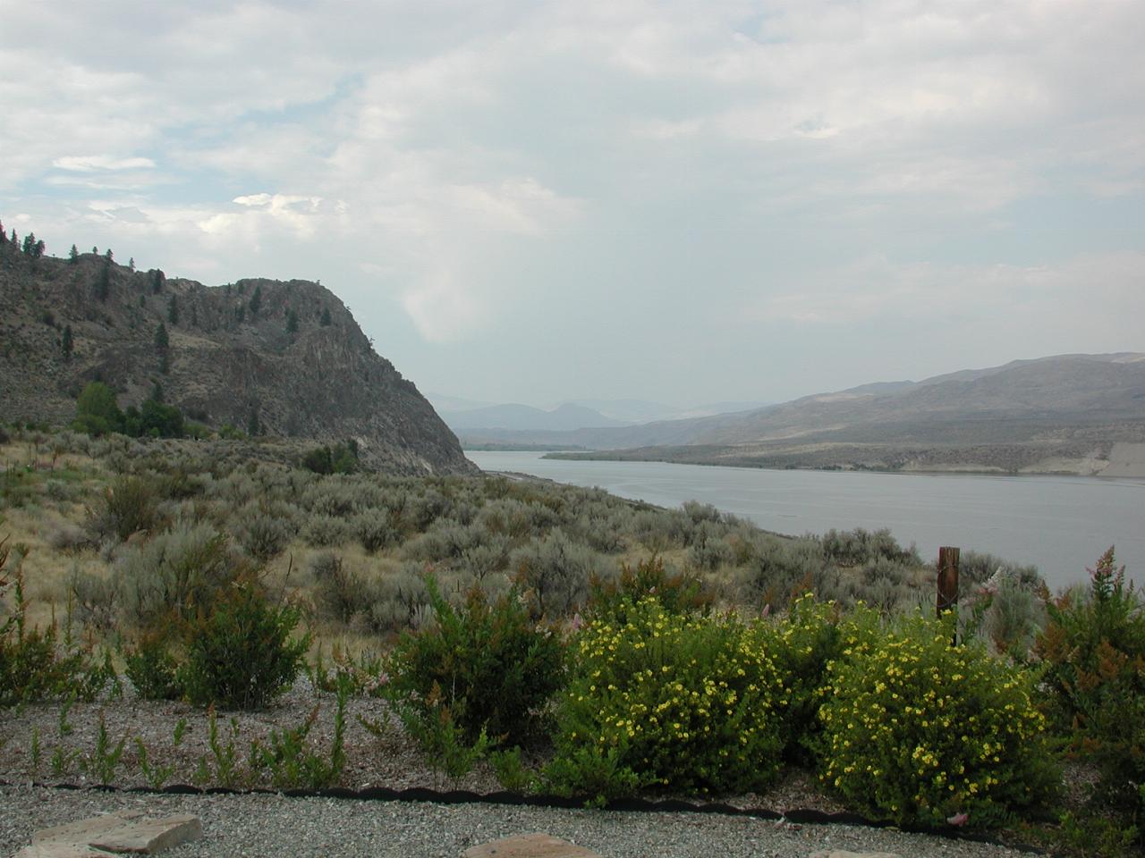
Looking upriver - quite a contrast to the manicured state of the visitor area.