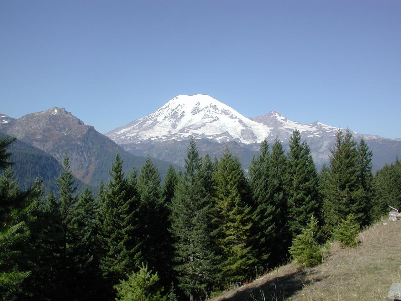
Following Highway 410 from Enumclaw, I took the right turn at Cayuse Pass and onto route 123, which continues south, reaching the Stevens Canyon entrance to Mt. Rainier National Park. The road climbs for a while, then turns around the corner to reveal a viewing area.

This is on the edge of the Tatoosh Wilderness Area, a designation added in 1988. Remember that Mt. Rainier is 14,400 feet tall, and this view point is located "just a few" thousand feet above sea level. It's about 12 miles (19 km) to the summit from here!

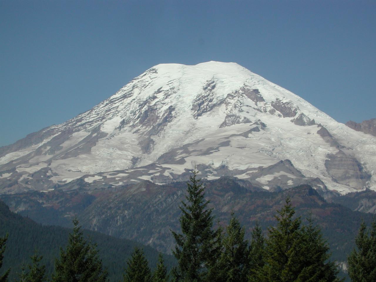
The snow looks dirty for a number of reasons. Mostly because there has been only 5 inches (12 cm) of snow in the last 4 months! The dirty appearance is from stuff falling from the air. Stuff like dust, air pollution particulate matter etc.

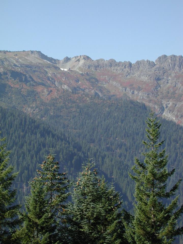
Looking into the Tatoosh Wilderness Area, there is still a small pocket of snow in the crater at the upper left. And some fall colour.