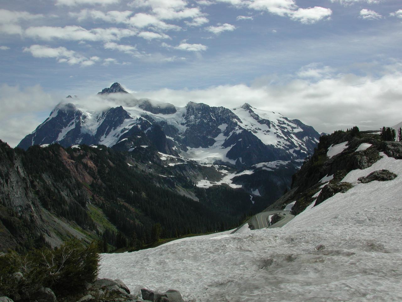

Mt Shuksan, from the parking area at the end of the road. You can also see part of the road as it climbs up the mountain. And plenty of snow on the ground, especially for the 12th of September.
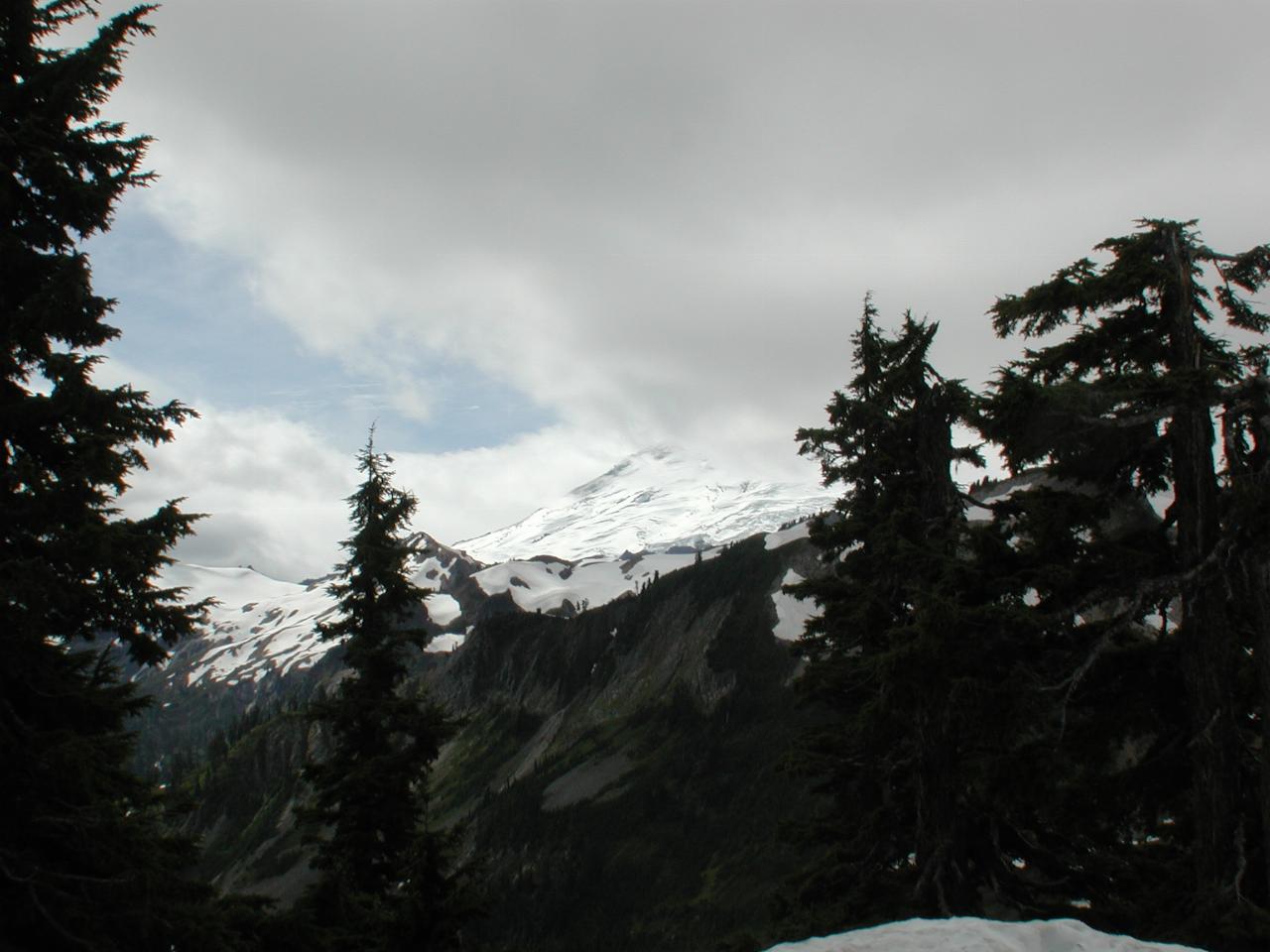
This is Mt. Baker, requiring a certain amount of imagination, as the cloud never did lift this day. The next day was perfect, but then, I wasn't here!
The peak of Mt. Baker is probably above the tree on the right hand side of the picture; the flank of the mountain is visible in the middle of the image.
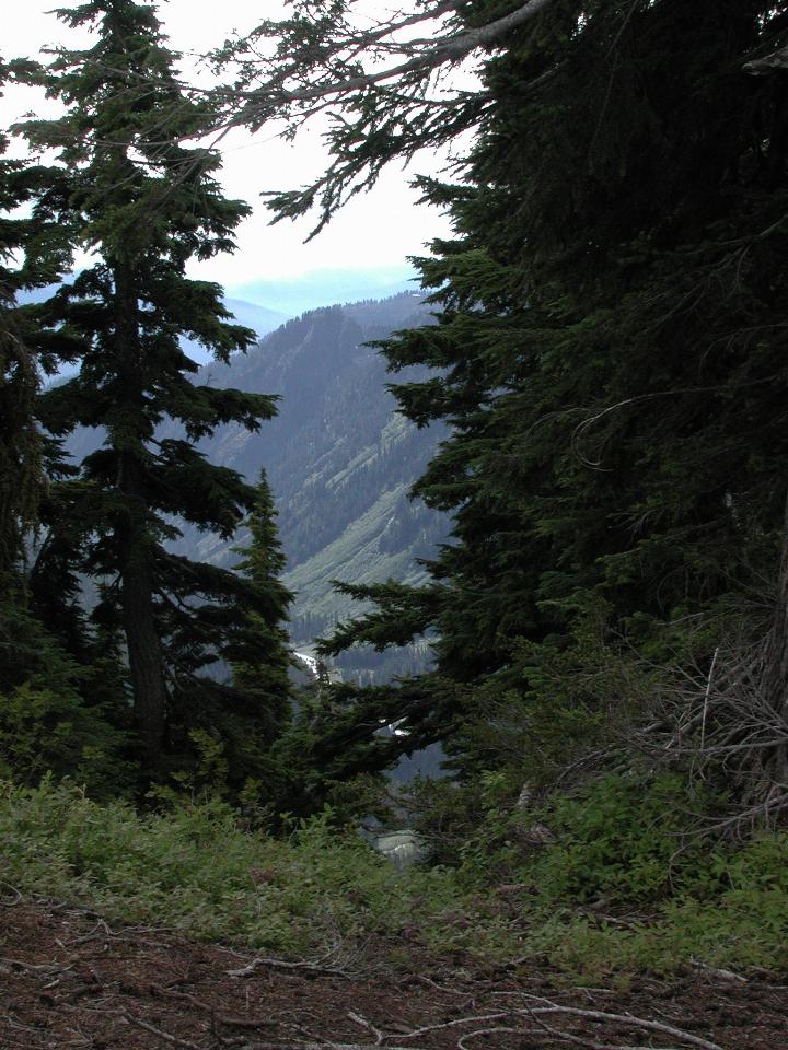
Looking down into one of the valleys leading away from the peak. The river in the bottom is probably Swift Creek, which leads into Baker Lake, a hydro-electric dam located on the Baker River just north of Concrete. It eventually runs into the Skagit River, thence into Puget Sound.
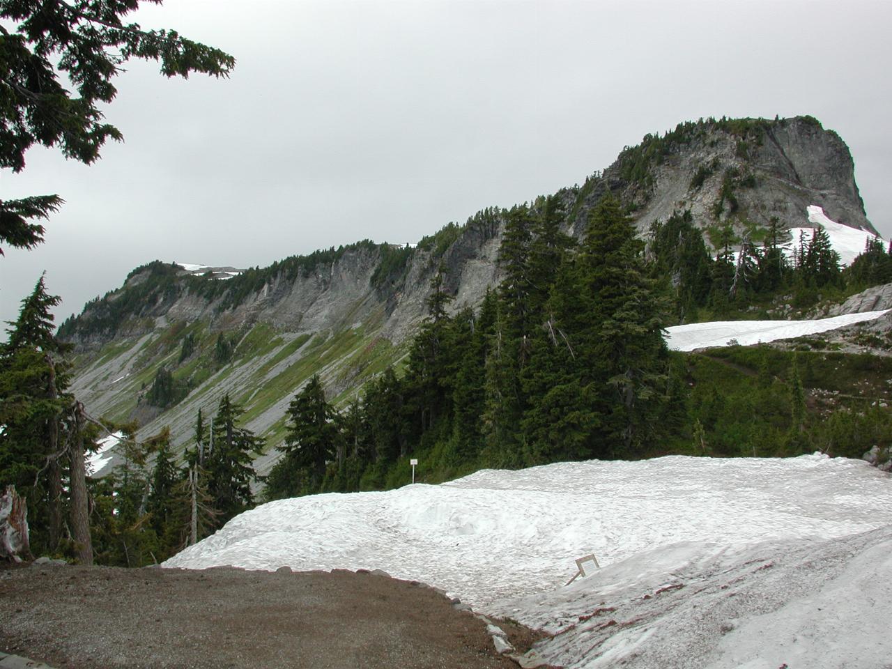
Table Mountain, for obvious reasons.
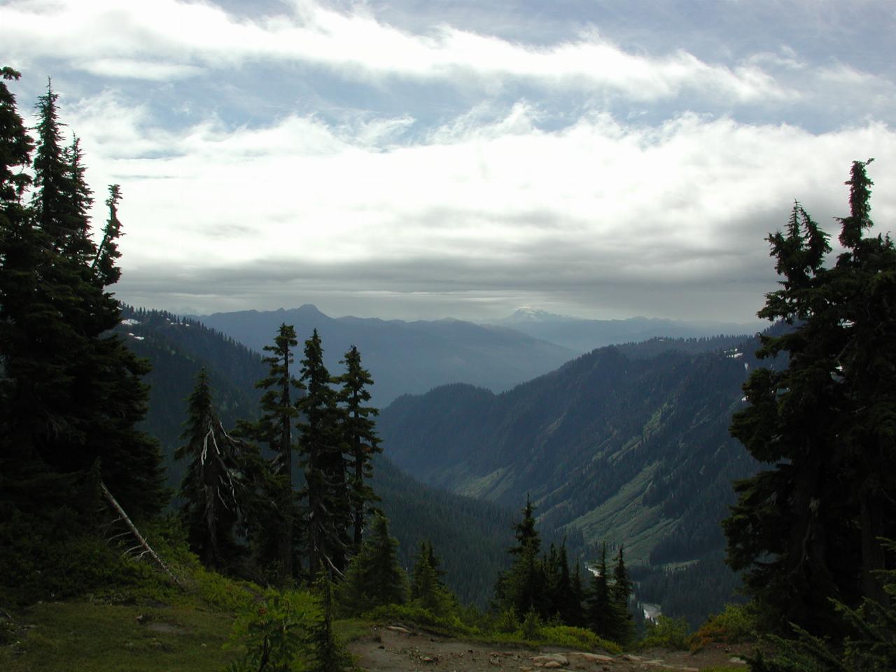
Another view of Swift Creek, but showing the Cascade Range heading down south.
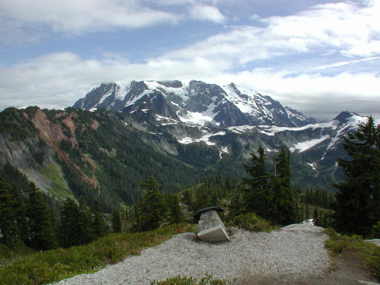
Yet Another View of Mt. Shuksan, this from the end of the trail which wanders around the ridge near the parking lot. The object in the foreground is a vandalised information board.
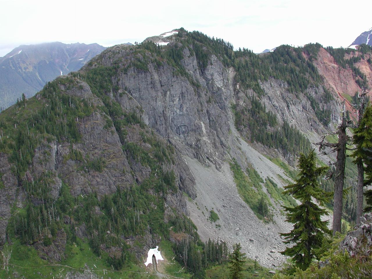
One of the ridges extending from Mt. Shuksan. Signs of erosion, as the freezing/thawing cycle breaks down the rock. Note also the water made snow tunnel at the base.
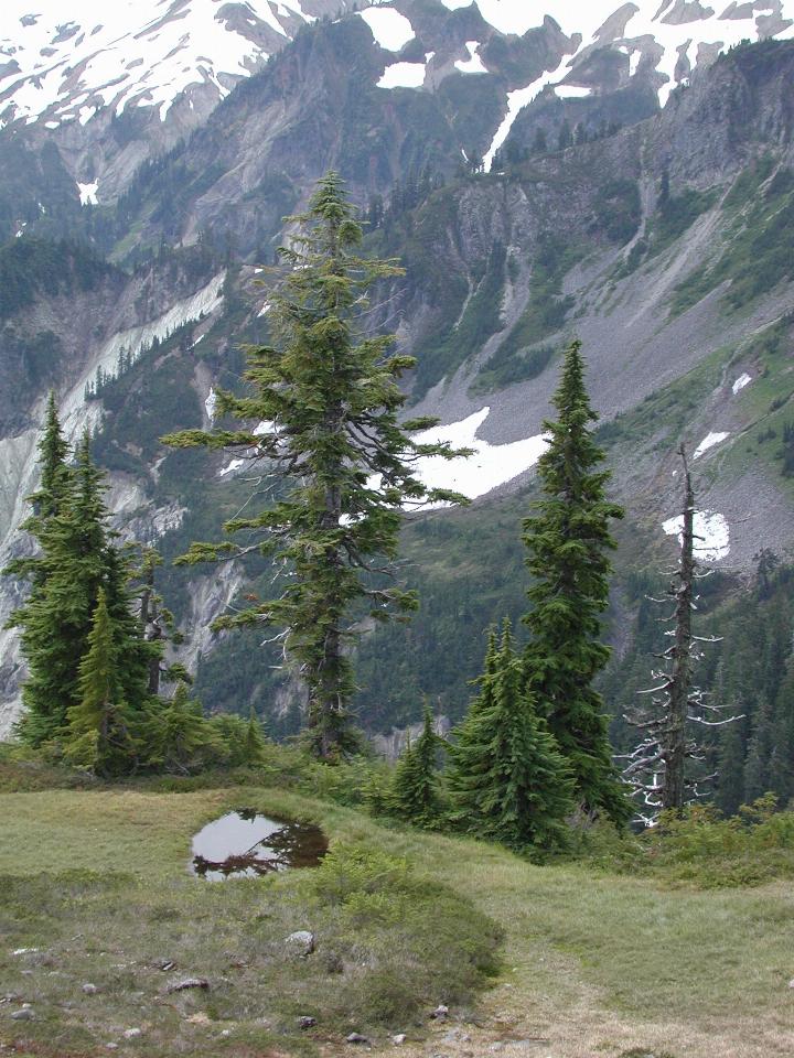
A tiny alpine lake.
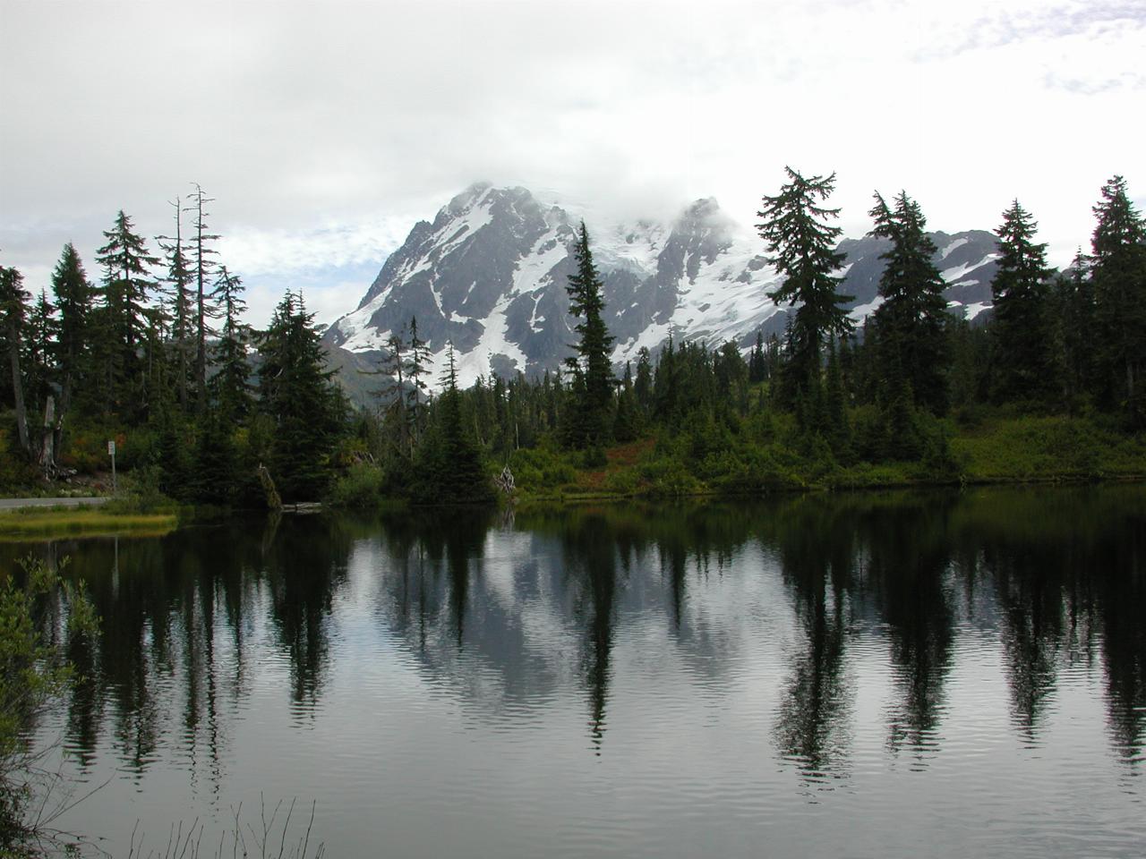
On the way out, a tiny lake with a reflection from Mt. Shuksan. One of the folks I met on the walking trail mentioned that Mt. Shuksan is probably more photographed than Mt. Baker - and not because of the weather! It's a more interesting subject, given the contrast between the dark rocks and white snow. This is also a popular scene to watch, and photograph.
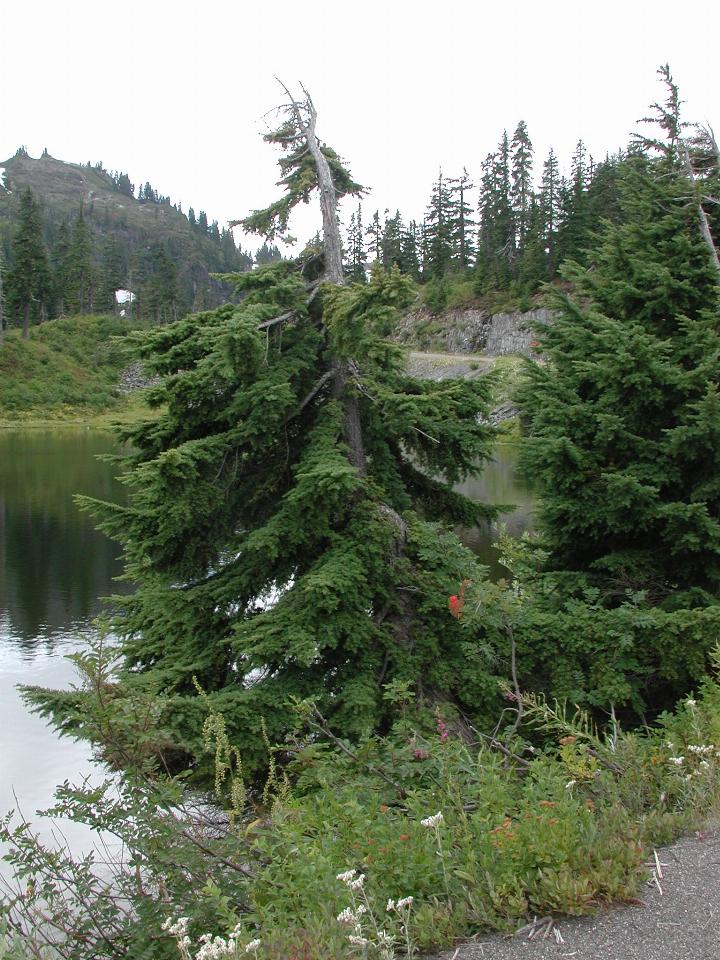
One of the trees at the side of the lake. I don't know what type it is, but note that the trunk is very thick, and thins out quickly near the top. That's not unusual in the trees here - they are all like this. I presume it is to give them strength to survive the snow and winds.
Additional information about Mt. Baker is available from The National Parks Service web site.