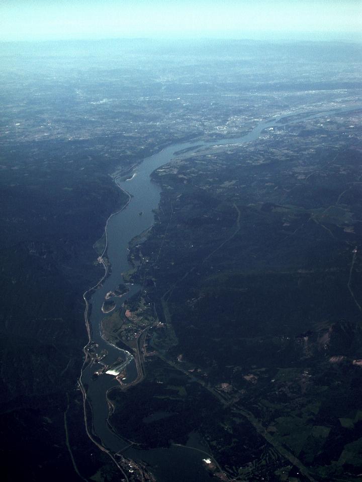
After Mt. St. Helens, the plane flew over the Columbia River, crossing into Oregon. This took place just a little East of The Dalles Dam, which I stopped at and photographed in the April expedition to Portland. This shows something of an overview of the area.

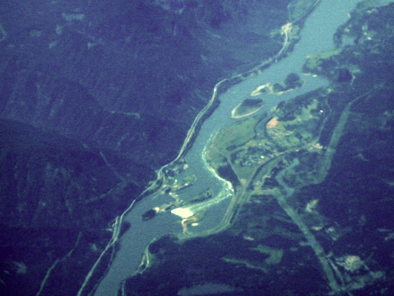
A "close up" of the dam. The white area is the spillway, showing a large amount of water flowing over; June is one of the high flow months, seeing as the snow is busily melting from the mountains. The river flow is lower left to upper right. The photos I took were from the area roughly were the white water meets the river bank on the right (Washington) side, and from a little closer to the dam wall.

Looking West, showing the Columbia River. Just visible as a dark line near the top of the image is the Cascade Mountain Range in Oregon. Oregon is the left bank of the river; Washington the right.

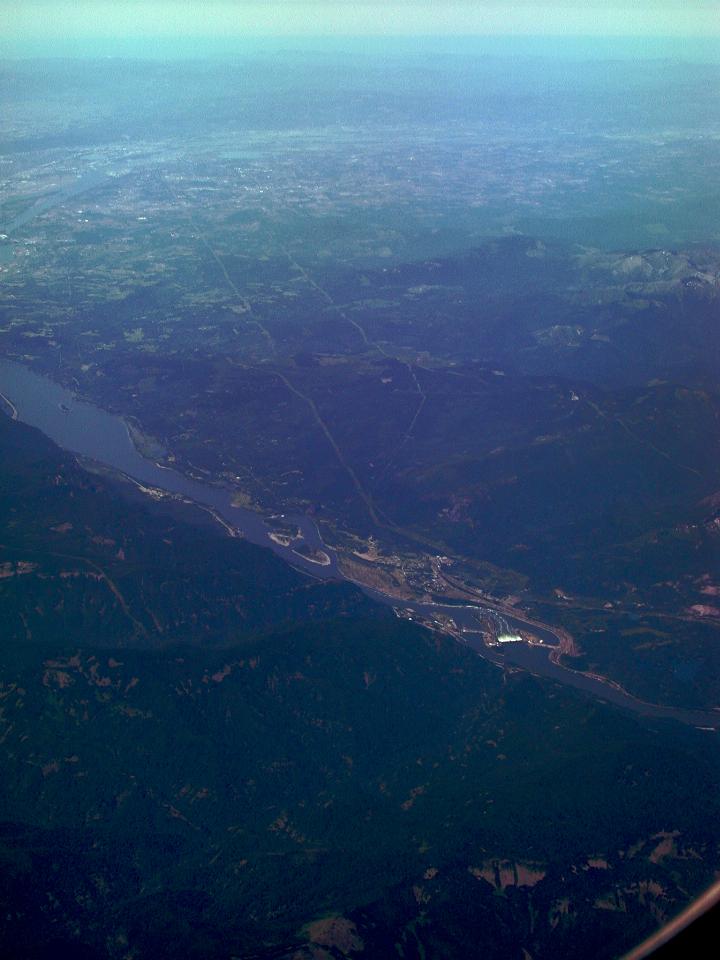
Another view, this time showing Washington state.