On June 17th 2000, I flew to San Diego to attend the Usenix 20th Annual Technical Conference. This is the first page covering that journey. However, circumstances intervened, and I was unable to attend much of the conference.

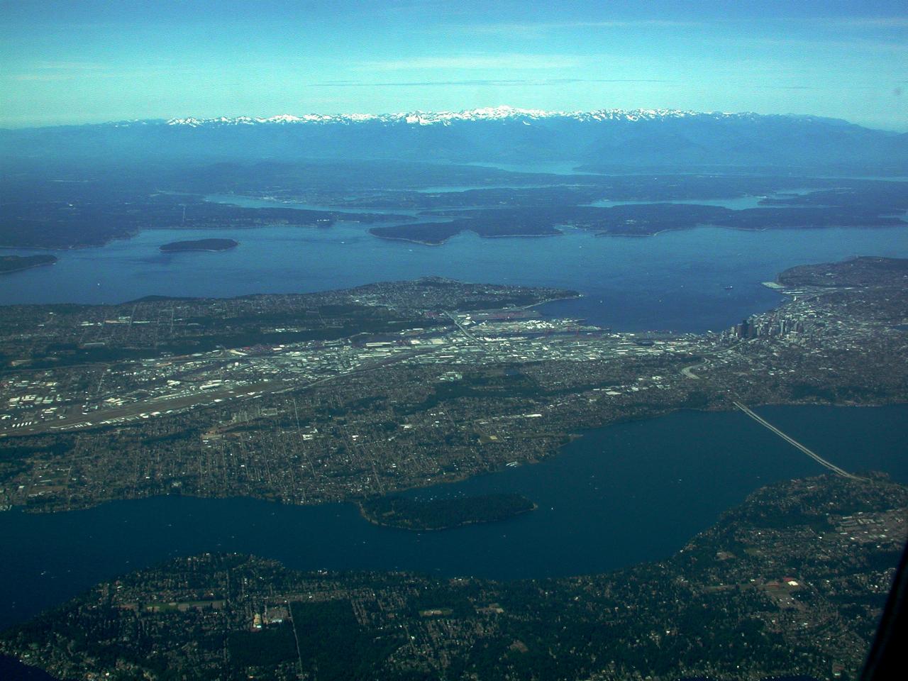
Downtown Seattle, viewed from south east. The water in the lower part of the image is the southern end of Lake Washington, with Mercer Island being the land at the bottom of the image. The bridge is the I-90 bridge; it's actually a pair of bridges, which can be just seen in the bigger image. Above Seattle is Puget Sound, then the Kitsap Peninsula all the way to the Olympic Mountains, still showing a snow lined top.

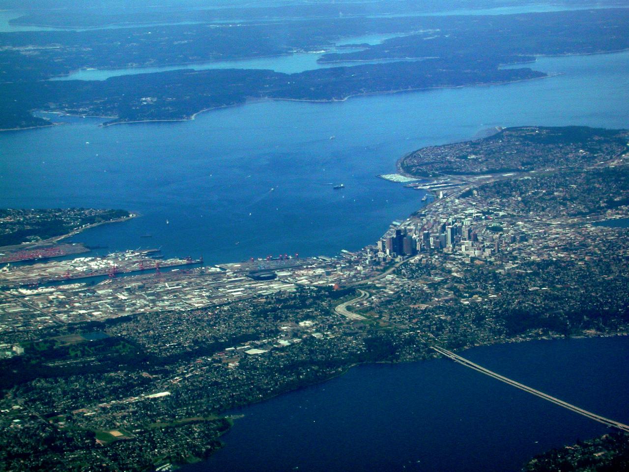
A close up view of downtown Seattle. The bay in front of downtown is Elliot Bay; the point to the left is Alki, which is where the first white settlement was established.

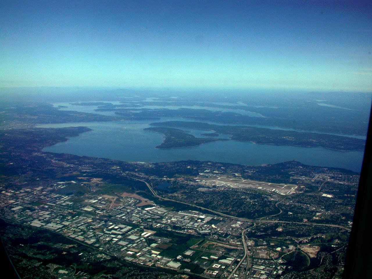
Looking to the south east, showing SeaTac (or more correctly Seattle Tacoma) Airport, then over the Sound to Maury Island which sits in front of Vashon Island.

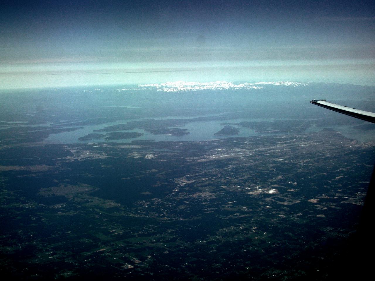
Further south now, showing the Olympia region, looking north west. Shows the southern end of Hood Canal and distant, snow capped, Olympic Mountains.