The next day's travels were to other areas around the district.

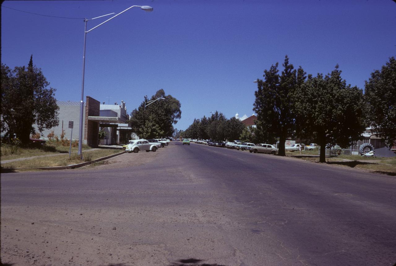
Looking along the main street of Moree. This road is the Newell Highway, and possibly the Gwydir Highway, and goes under several names within the city. Assuming, of course, this is Moree.
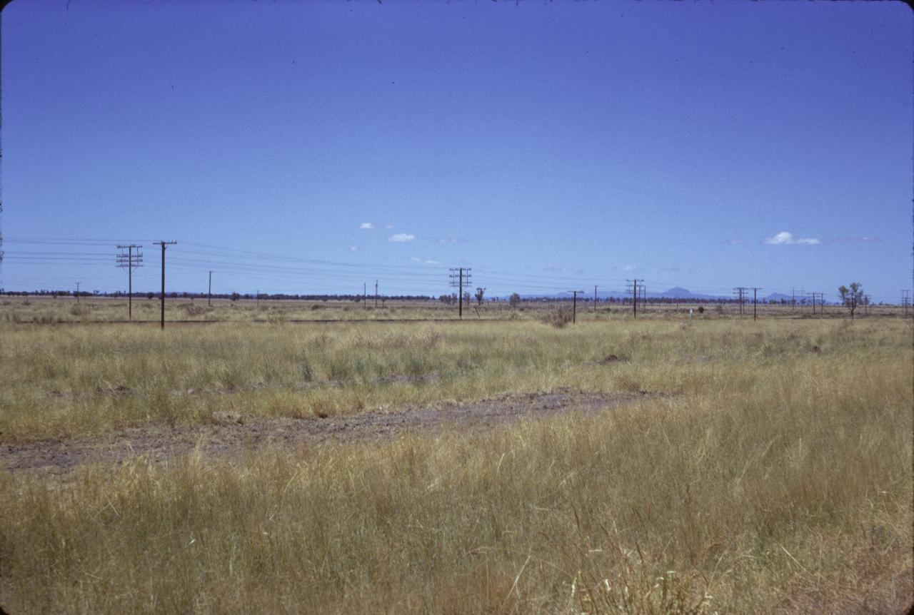
Mt. Kaputar, from a little north of Narrabri, which is about midway between Moree and Coonabarabran. The mountain is the little hump on the horizon!
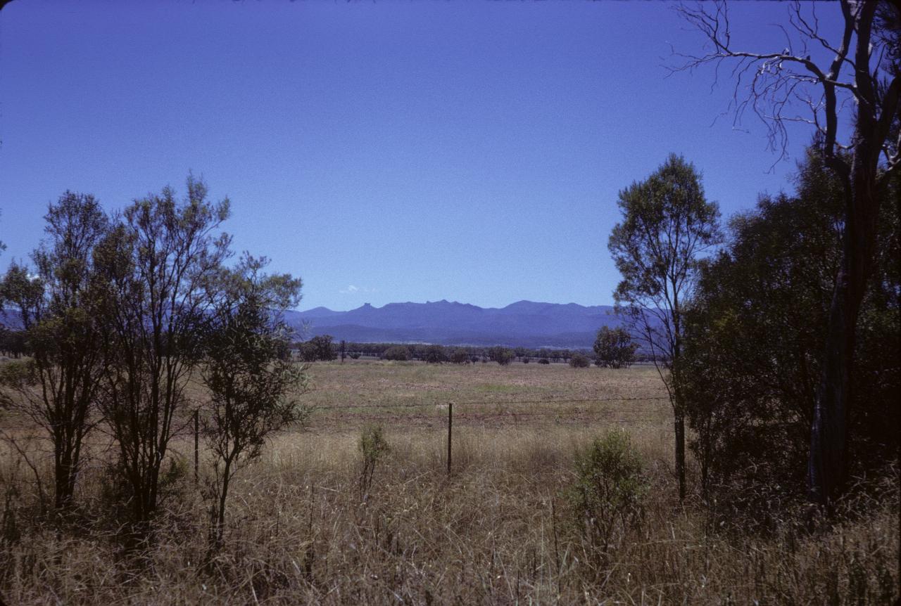
Mt. Kaputar as seen from the Gunnedah-Narrabri road, also known as the Kamilaroi Highway. This would be south west of the mountain.
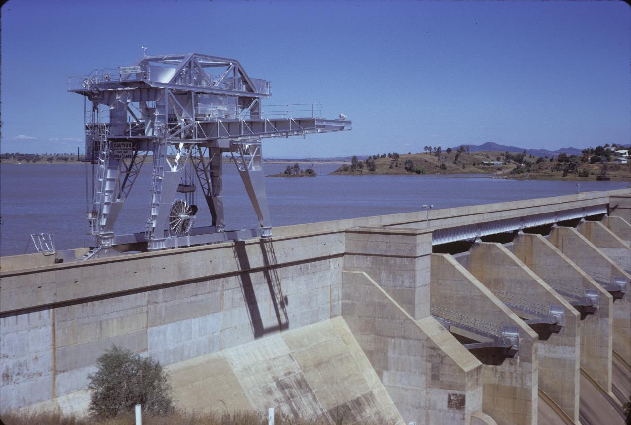
The Keepit Dam, between Tamworth and Gunnedah. Obviously very full. I think 1974 was a La Nina year, and very wet.
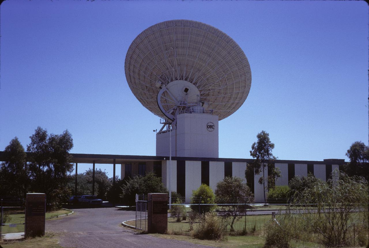
At the time, this was The Overseas Telecommunications Commission's main satellite station for Australia. OTC was charged with managing external communications, by whatever means, incuding ship-to-shore radio, but excluding broadcasting. Over the years, OTC was merged into what is now called Optus, the second largest phone company.
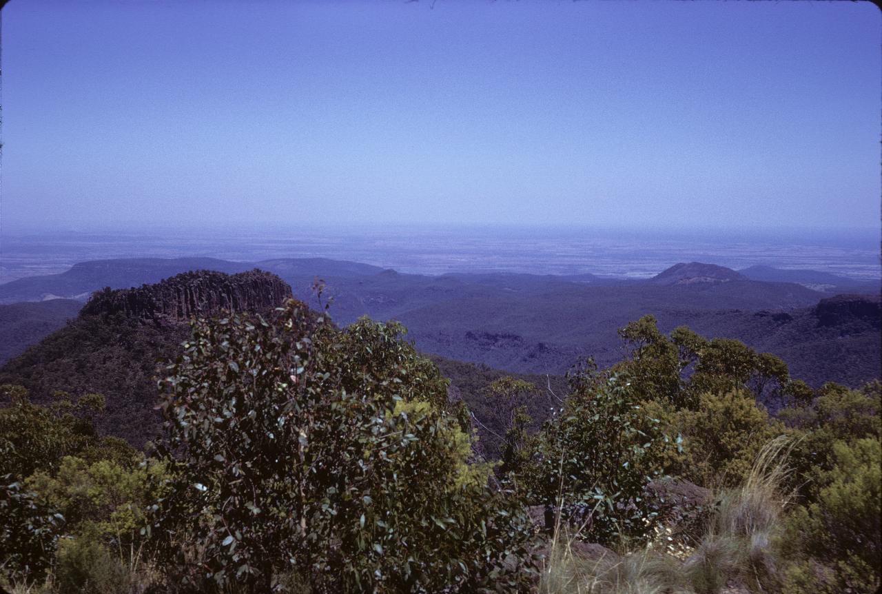
The view from Mt. Kaputar National Park, looking south towards Gunnedah, Coonabarabran and other such places.
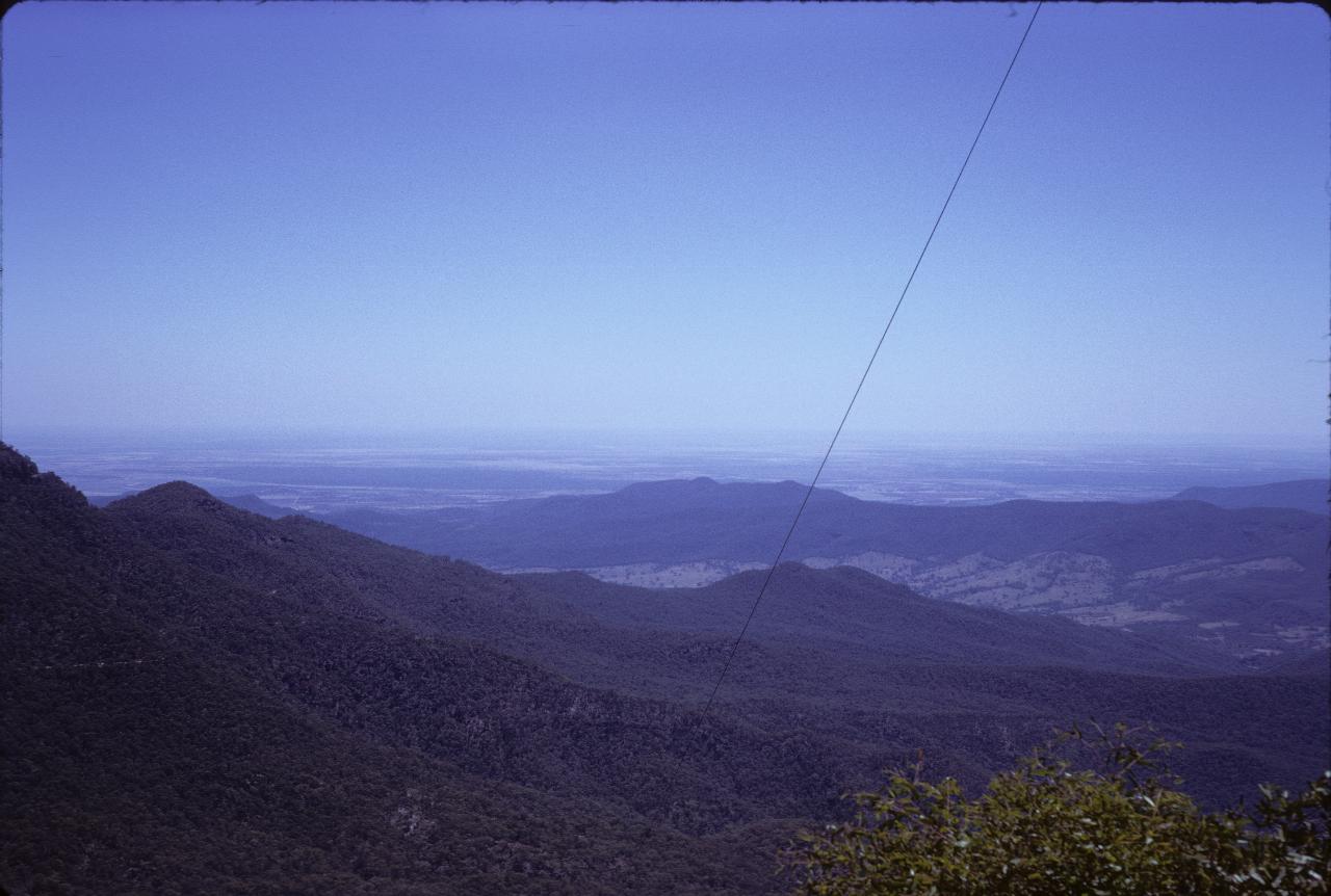
Looking north from Mt. Kaputar towards Moree.
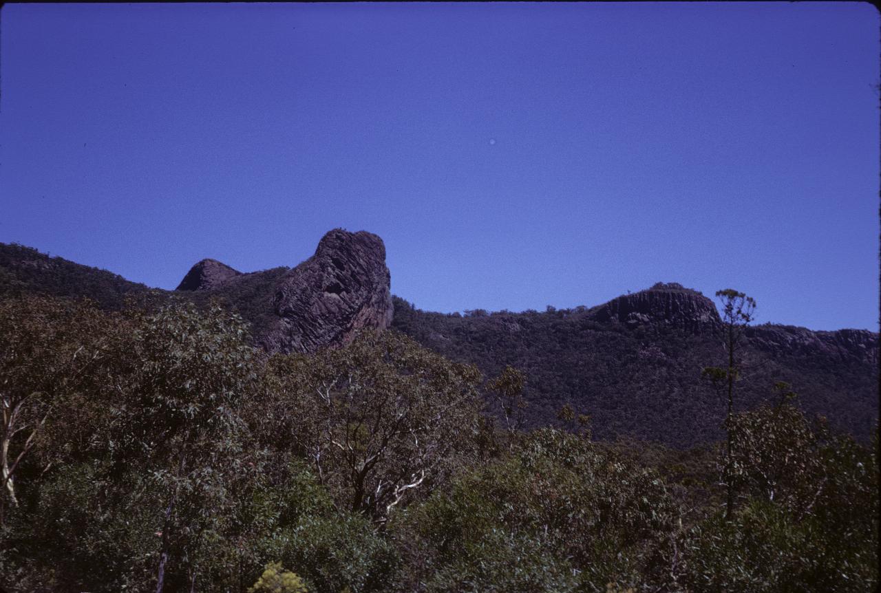
Part of Mt. Kaputar.
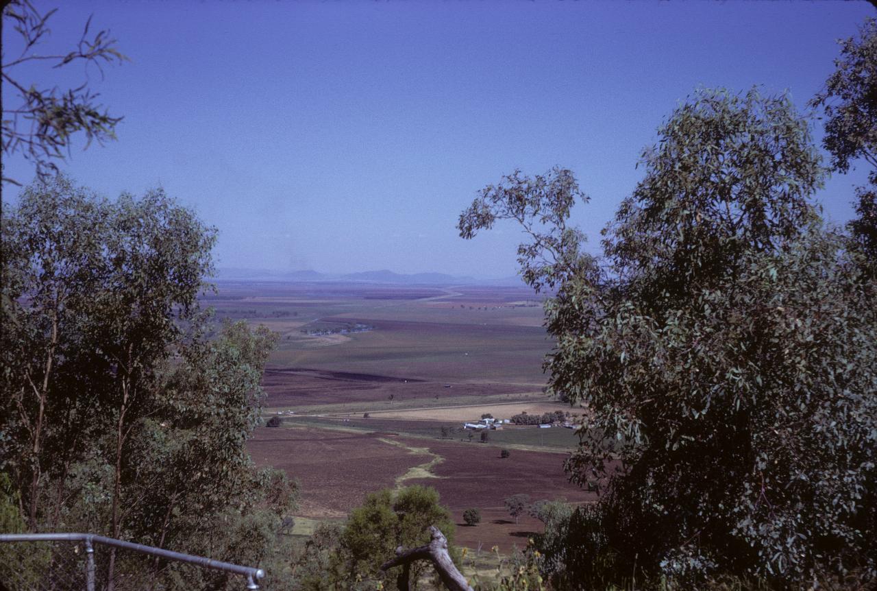
The Liverpool Plains, looking south from Porcupine Hill, Gunnedah. This is prime agricultural land, currently under threat from coal mining and coal seam gas extraction.
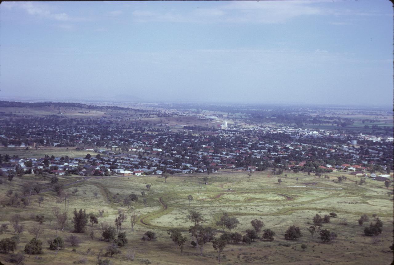
Gunnedah, as seen from Porcupine Hill.
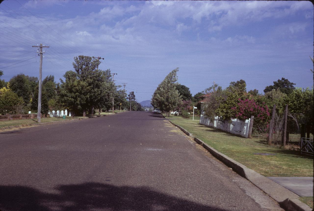
Some street in Gunnedah - a town that has pride in its appearance.
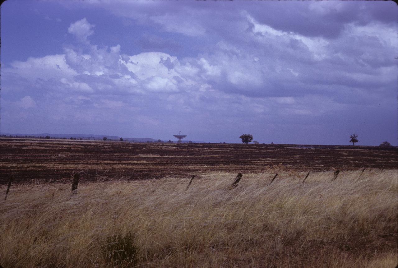
The Parkes Radio Telescope, which is further down the Newell Highway from Coonabarabran. Fortunately, this is at the same longtitude as the optical observatory at Siding Springs, allowing coordinated observations at optical and radio frequencies.