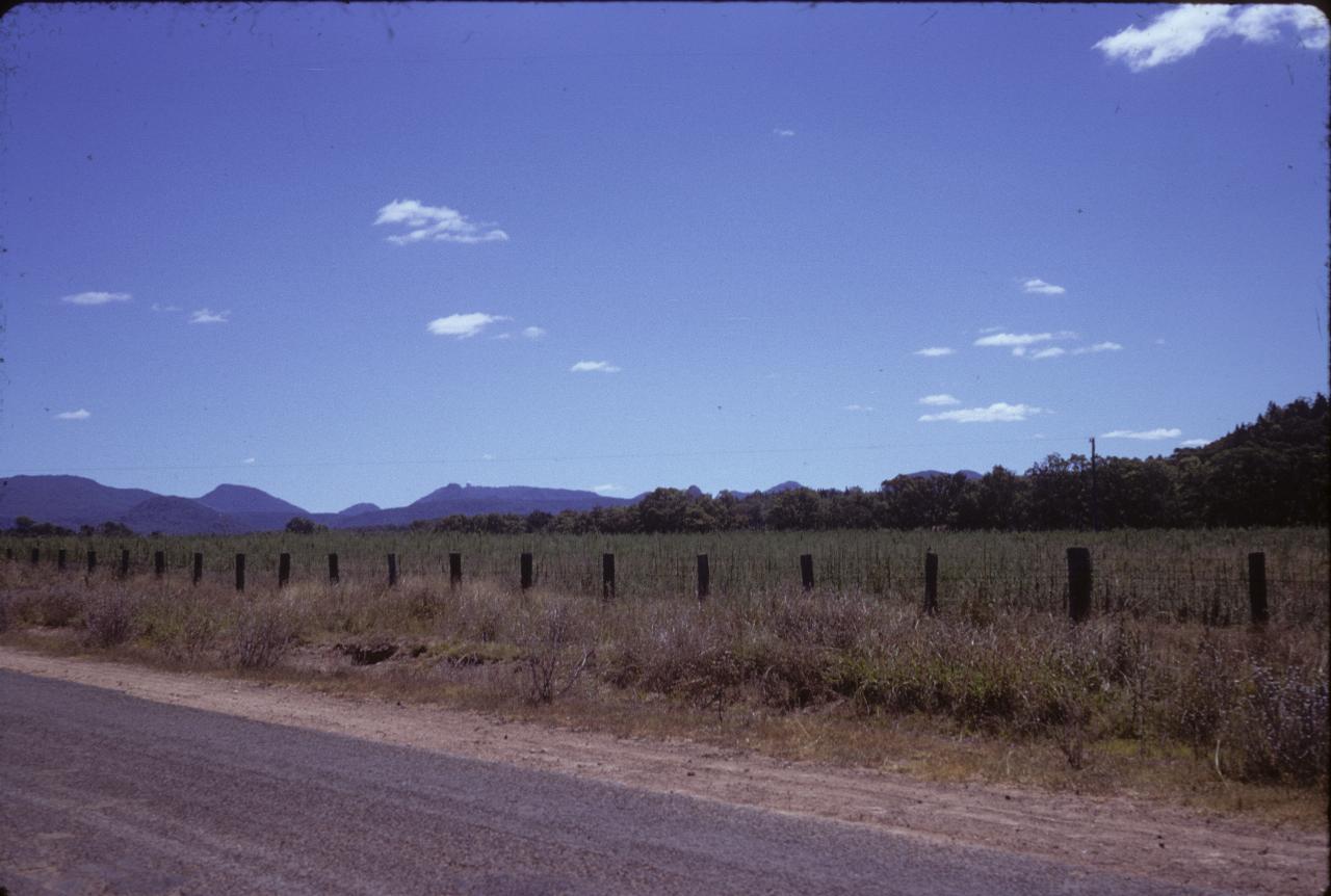
These photos were taken on a trip to the north west of New South Wales, although geographically it's pretty much north of Sydney. Attractions in this area include the Warrumbungles.

The Warrumbungles seen on the approach from Coonabarabran, which lies east of the mountains.
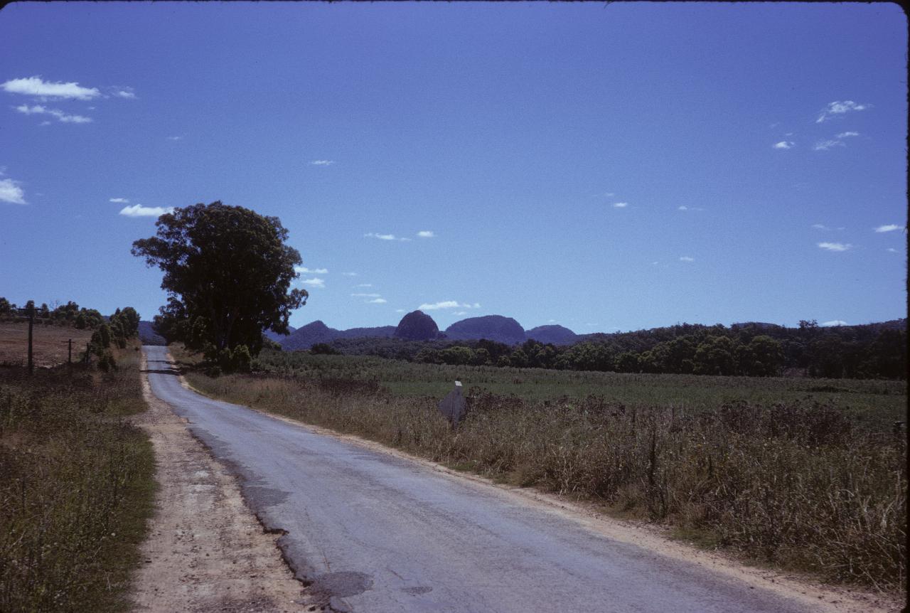
Another view of the Warrumbungles, showing somewhat more detail of the shape of the mountains in this area.
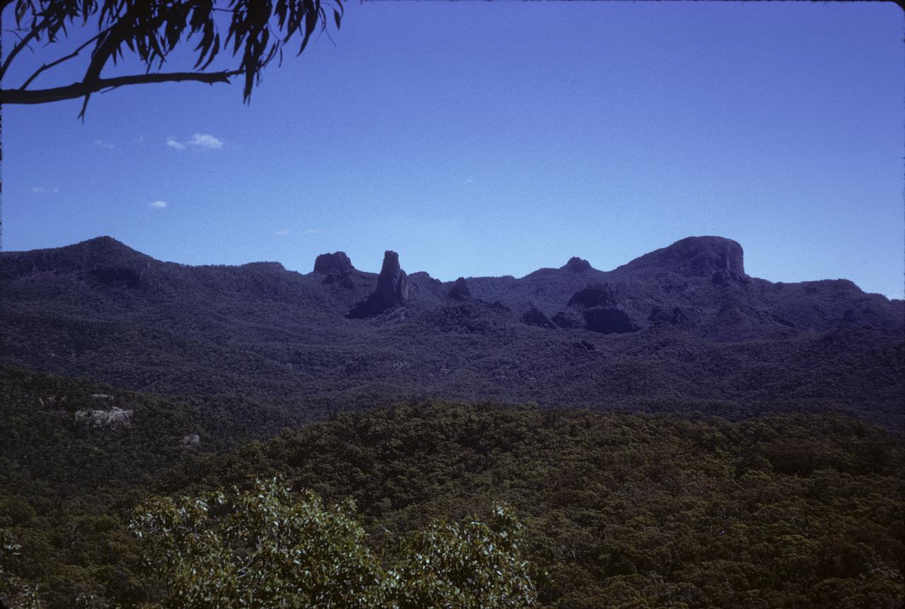
A view across the Warrumbungles National Park to some of the extinct and now mostly eroded volcanoes in this area. The sharp one in the middle is, I think, called "The Breadknife", for rather obvious reasons.
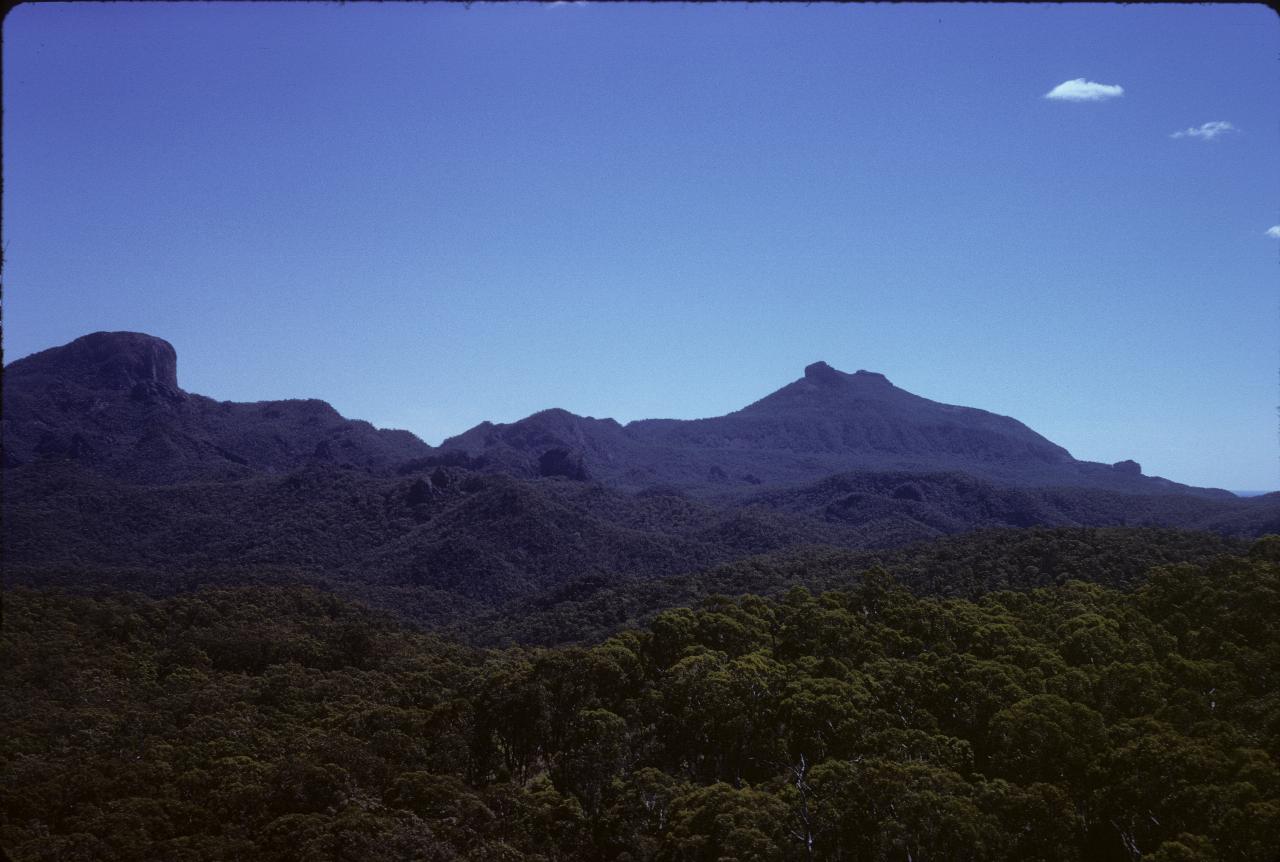
Much the same as above, except a bit further to the right.
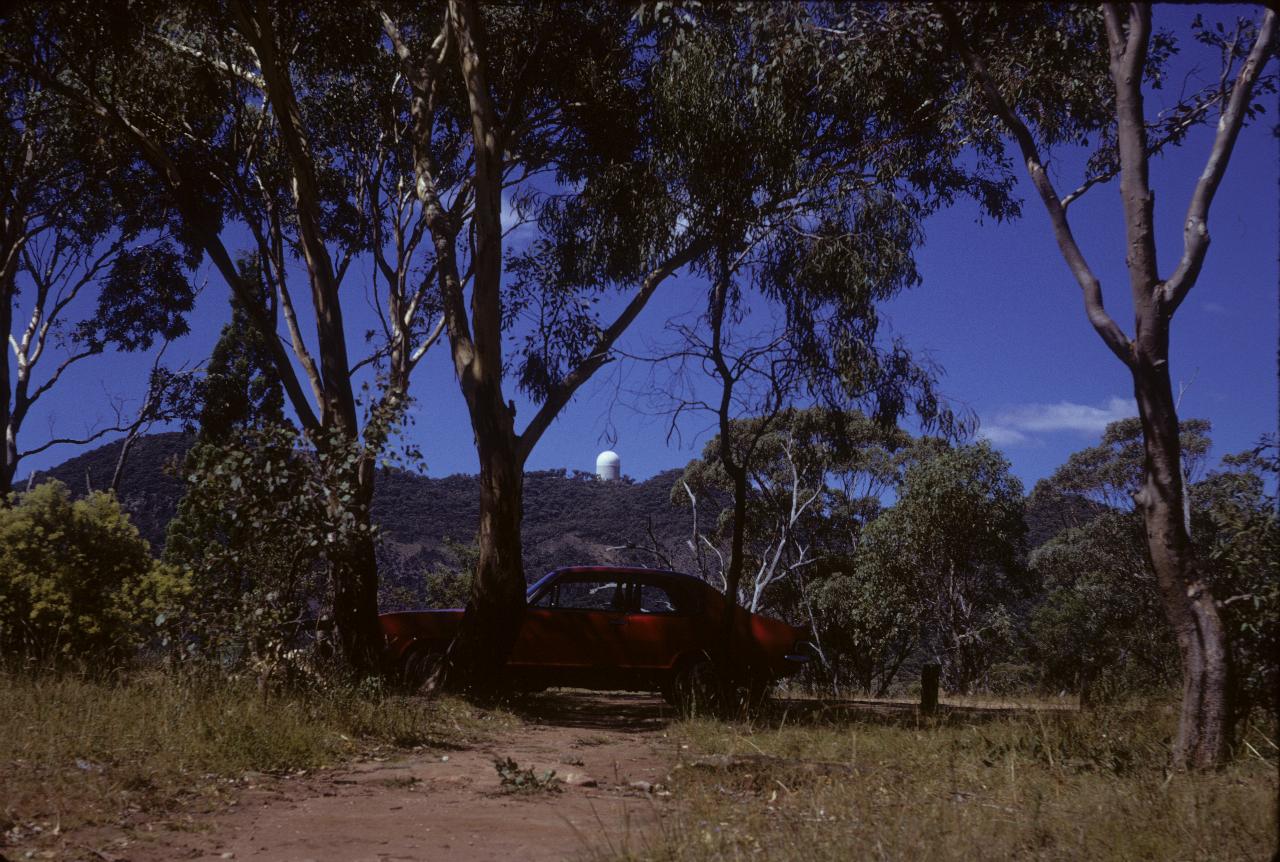
My car enjoying the shade, with part of the Anglo-Australian Observatory showing on top of the hill. Optical observatories tend to have that shaped building - for good reasons!
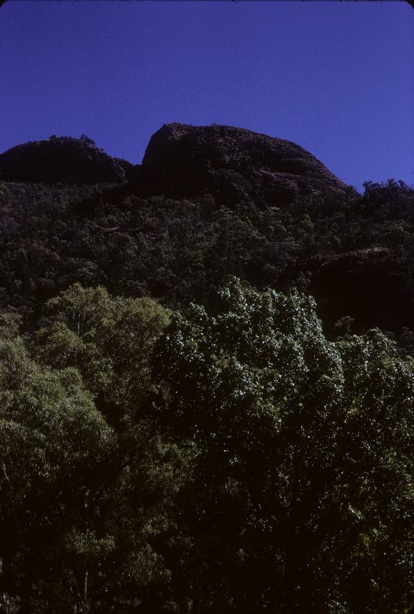
Another of the volcanic plugs in the Warrumbungles.
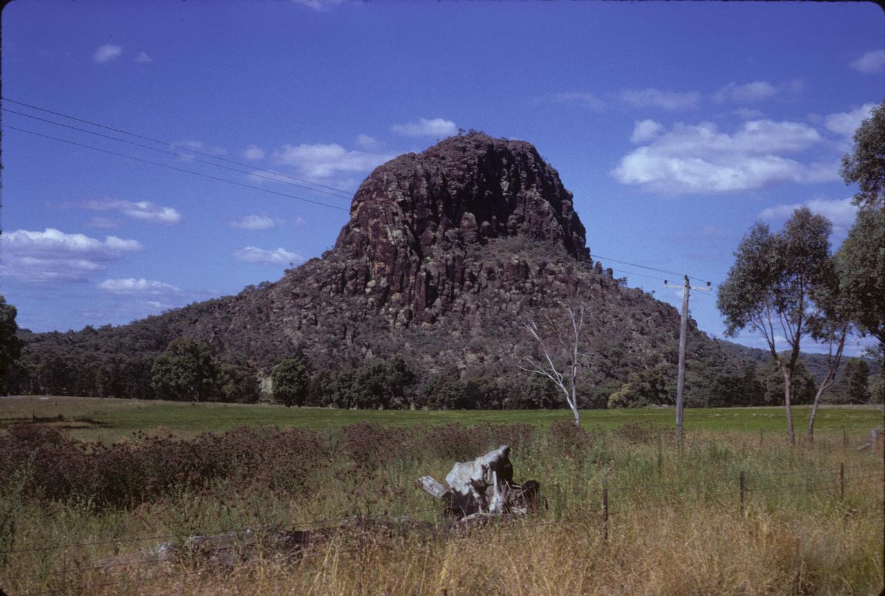
Timor Rock is hard to miss, with it's hexagonal shaped rocks, and sticking out like a sore thumb on the surrounding farm land.
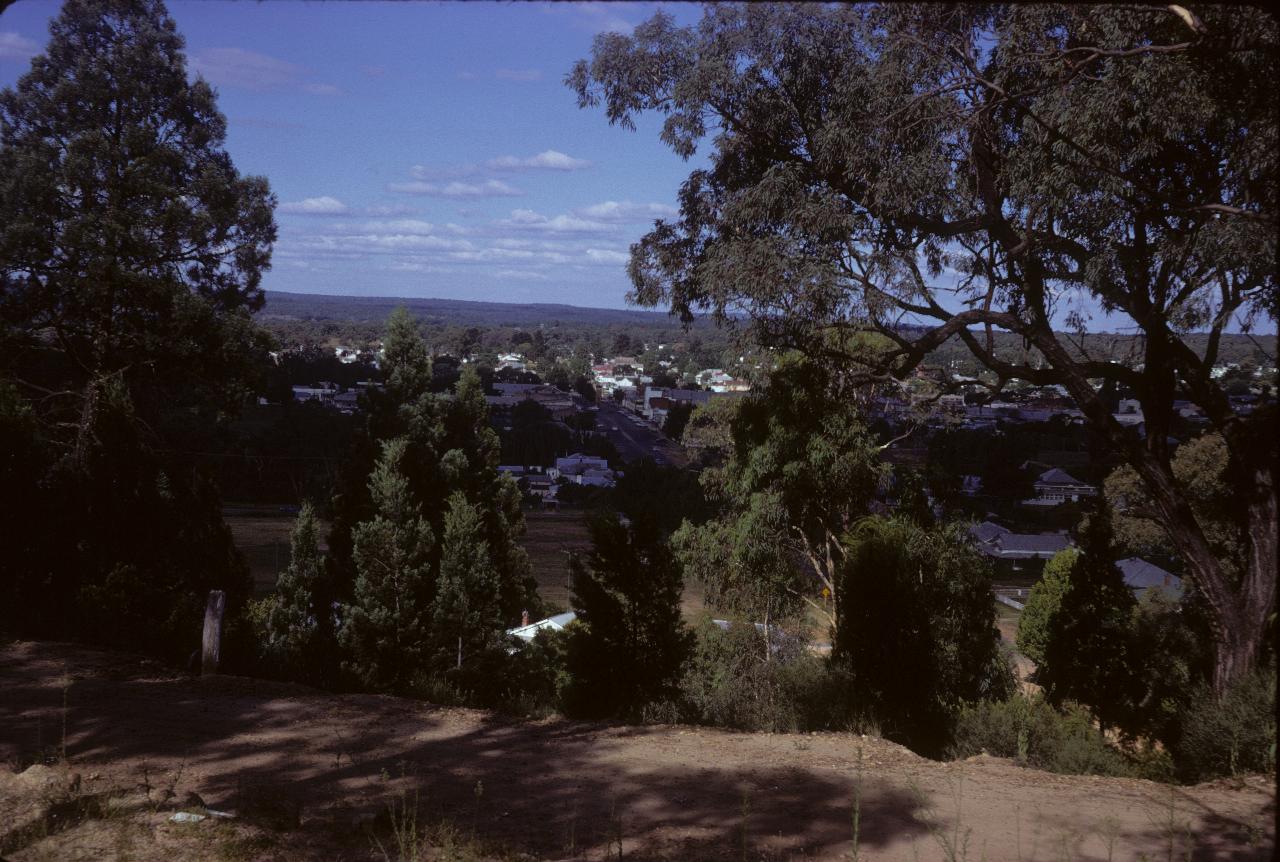
Part of Coonabarabran, looking east
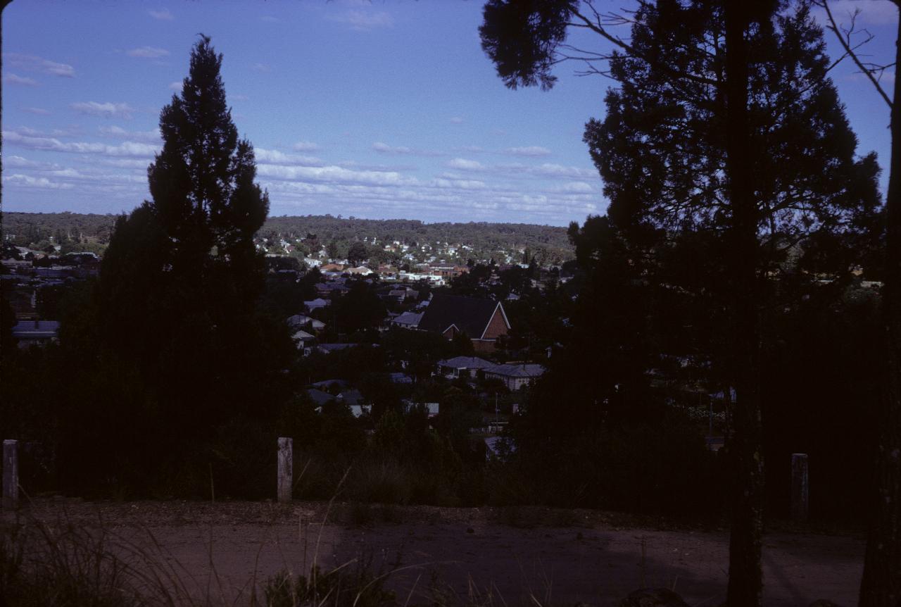
Another part of Coonabarabran, looking east