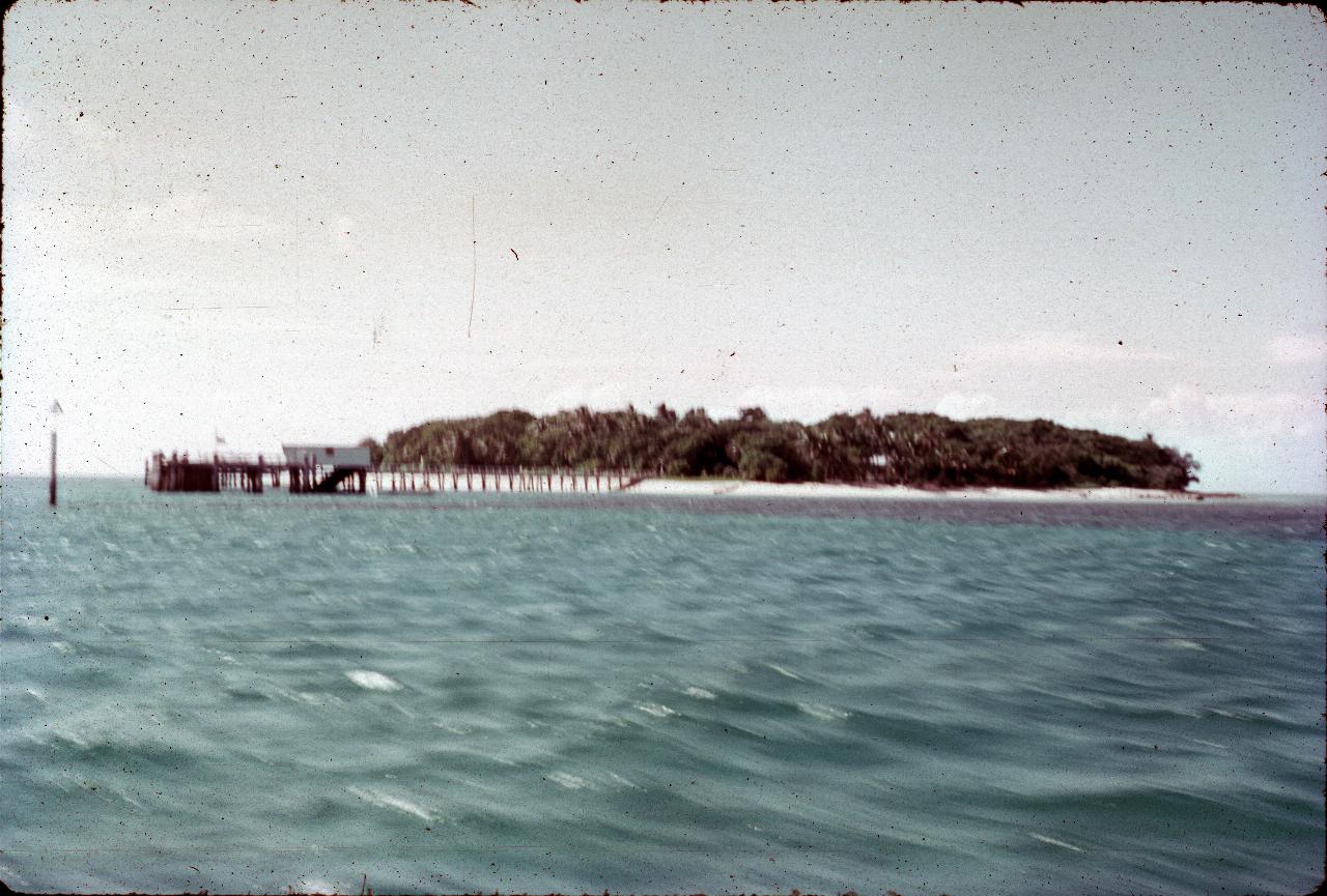

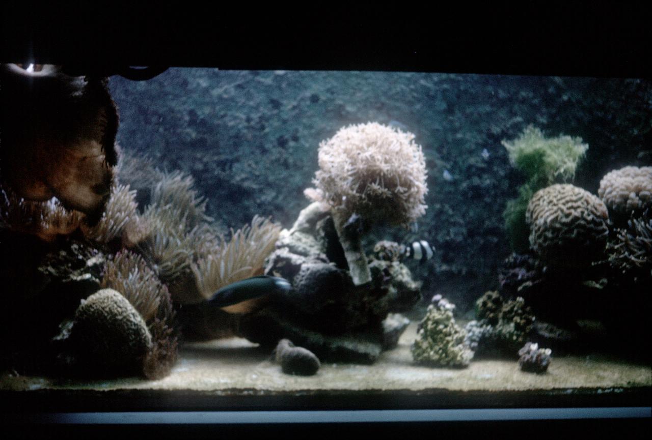
The next tour was a day trip to Green Island, a coral cay some 27km off the coast from Cairns. It was named by Lieutenant James Cook on 10 June 1770. The island was formed by waves depositing sand, coral and other debris onto its coral foundations. The structure on the left is the wharf where the ferry ties up, and includes an underwater observatory.
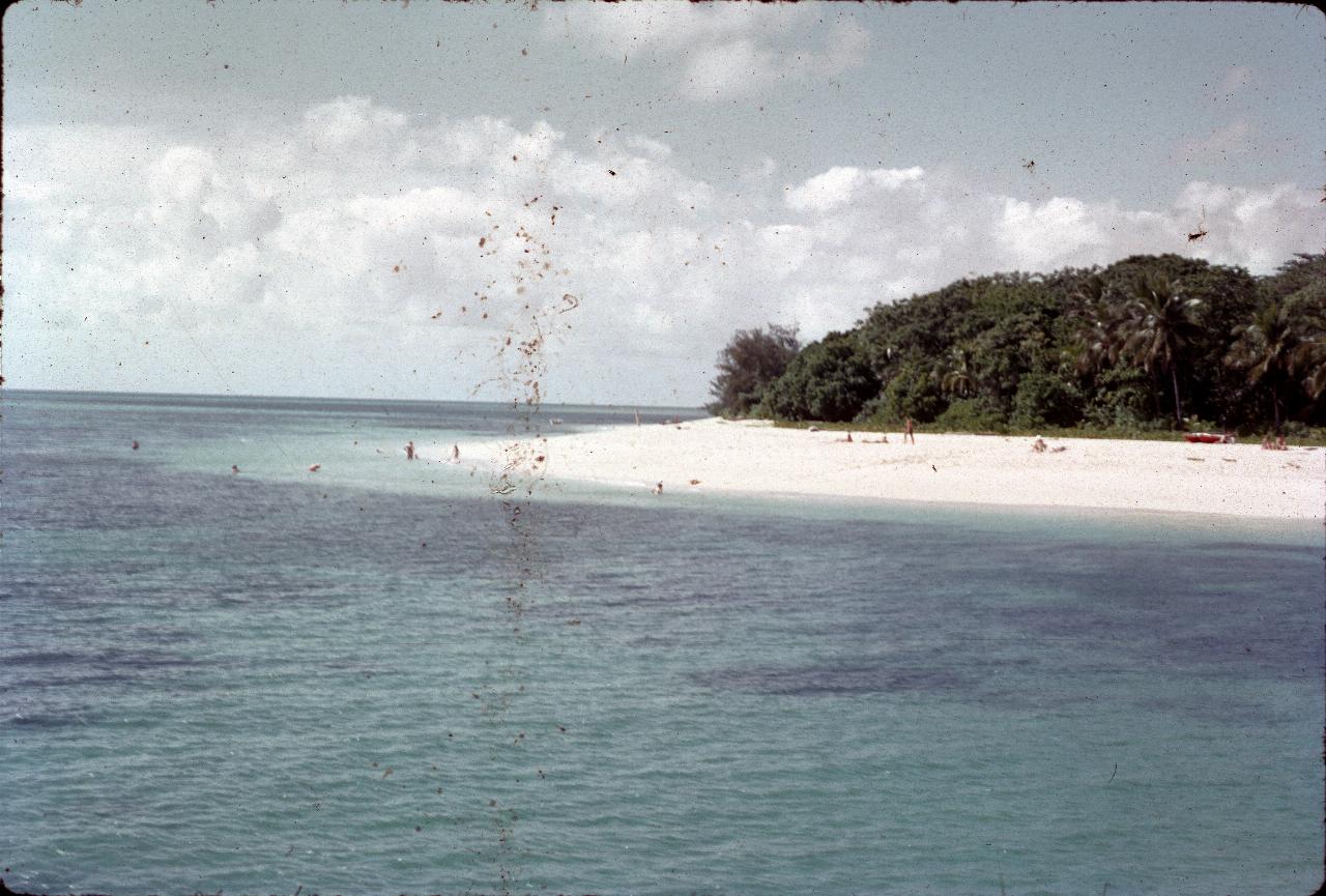
The beach/edge of the island as seen from the passenger ferry while docking at the wharf.
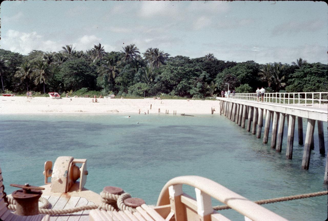
View from the ferry now tied up at the dock. As it appears to be low tide from the piers on the wharf, high tide would seem to cover up much of the beach.
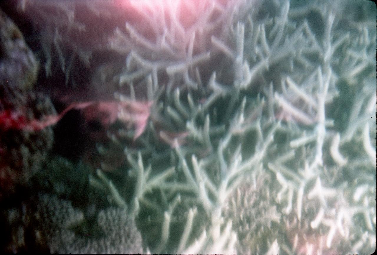
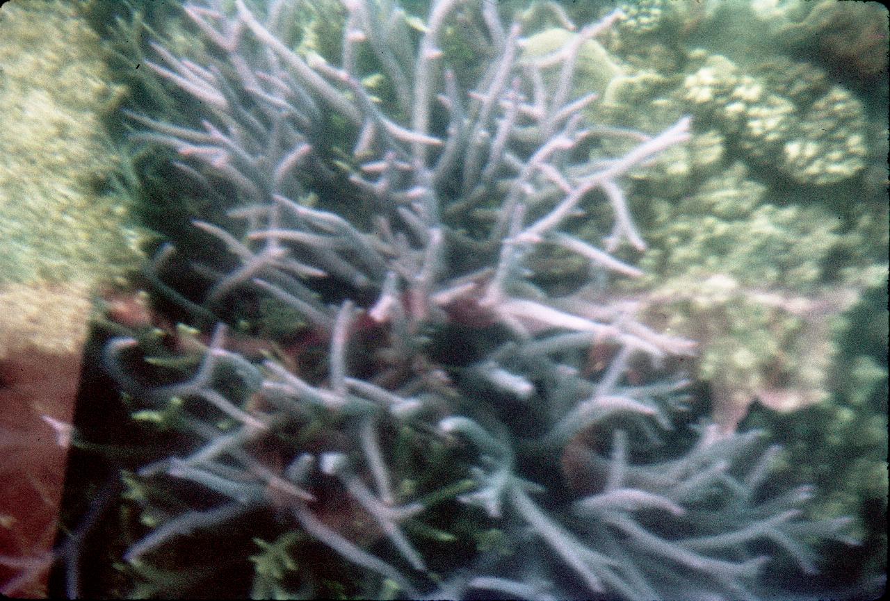
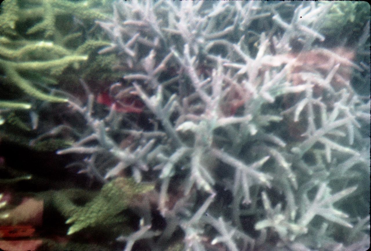
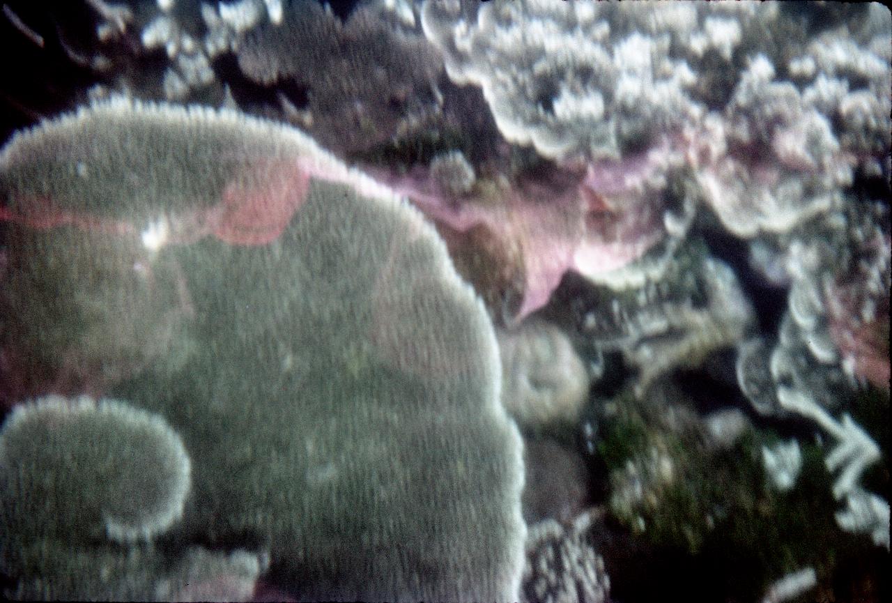
The photos are poor for some additional reasons. One is the reflections of the glass of the passengers, the other is the movement of the boat.
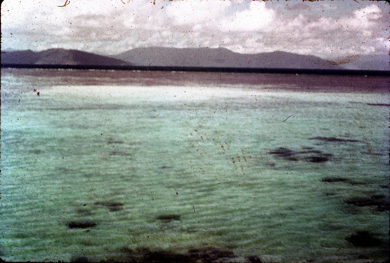
This is a very poor picture but does show the shallow waters (probably from the end of the wharf) to the edge of the reef where you can just see small waves breaking, then across the sea to the mountains on the mainland.
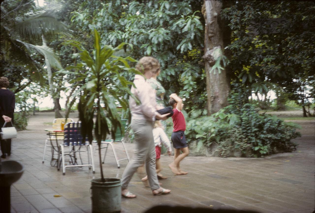
This seems to have been a store/cafe area to serve the residents and visitors to the island.
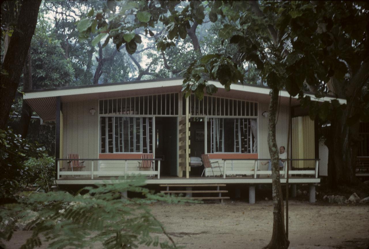
There is accommodation available on the island for those wishing to stay longer.
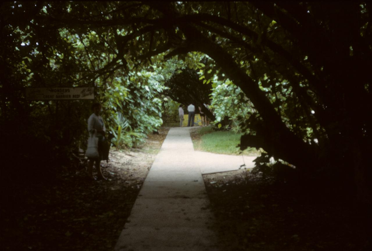
Obviously there is much rainfall on the island, judging by the quantity of vegetation shown here. And that's mum standing in front of the sign on the left.
Then it was time to board the ferry for the return trip to Cairns, to relax and prepare for tomorrow.