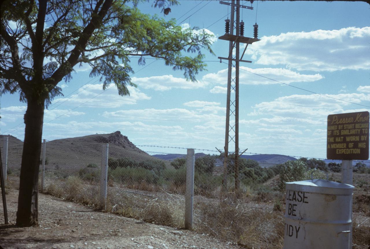
Broken Hill's water supply mostly comes from the Darling River at Menindee, through a 100km long pipeline. The water is pumped to Stevens Creek Reservoir, from where it is distributed around the city. The hill shown here is Prosser's Knob, though I confess to not knowing anything about "Prosser".
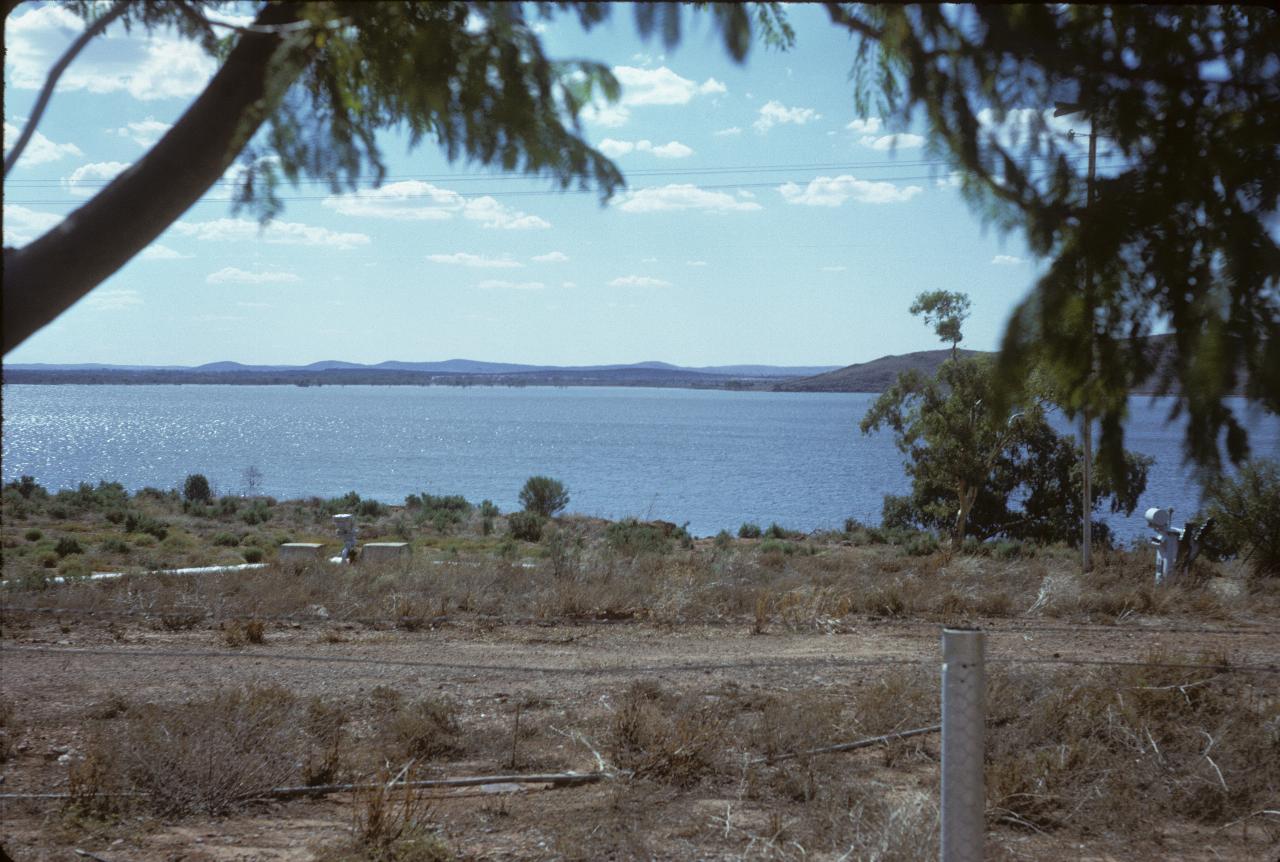
Stevens Creek Reservoir's lake. Presumably not used for recreation, being the city's water supply. The recreation happens at the Menindee Lakes storages.
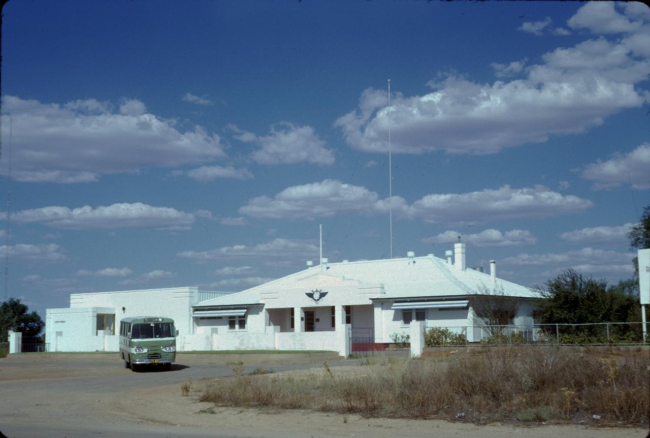
The Broken Hill headquarters of the Royal Flying Doctor Service, which provides regular and emergency medical services to remote communities and properties. The Wikipedia article contains a good summary of their operations, including the School of the Air for remote children. Note the older model mini-bus out front!
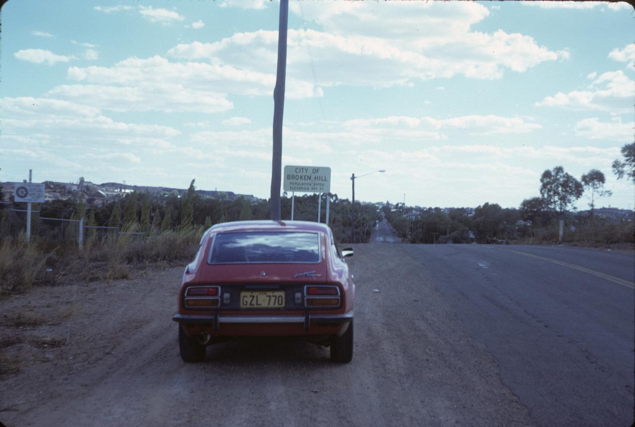
Ah, Broken Hill at last! Well, this is a staged re-enactment as I forgot to take the photo when passing the first time! The sign quotes a population of 29,750 people, and an elevation of 997 feet. Obviously this had not been adjusted for metrication, which had just recently taken place. That's about 300 metres.
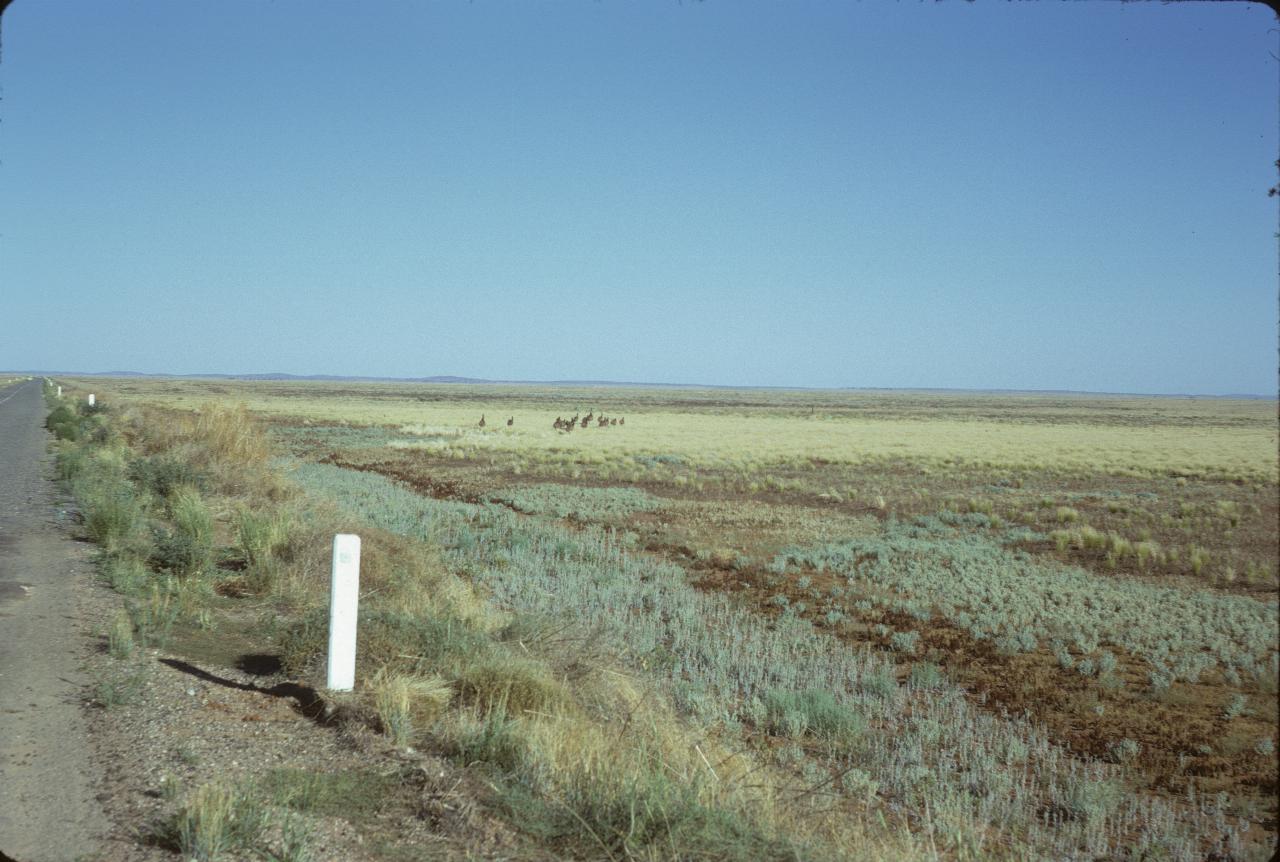
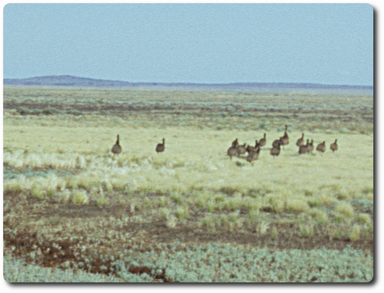
Wild emus on the road from Broken Hill to Menindee! They were closer when I stopped the car, but they move quite quickly. And this was before I owned a telephoto/zoom lens! See full resolution of emus.
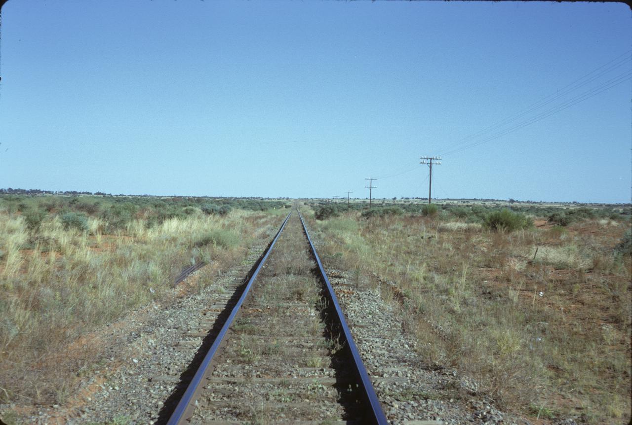
This is the main (standard gauge) line between Sydney and Perth. It passes through the Menindee Lakes area.
The Menindee Lakes Scheme resulted from some engineering works to increase the water storage and flow control from existing lakes in the area around Menindee, some 100km SE of Broken Hill, and the source of that city's drinking water. This body of water is Copi Hollow which connects Pamamaroo Lake via a control structure to Lake Menindee.
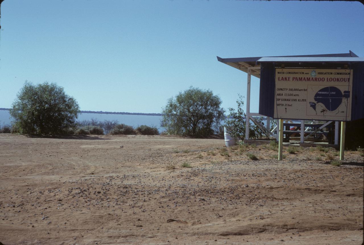
This is Lake Pamamaroo Lookout although it doesn't seem much above lake level. Pamamaroo is one of the bigger lakes.
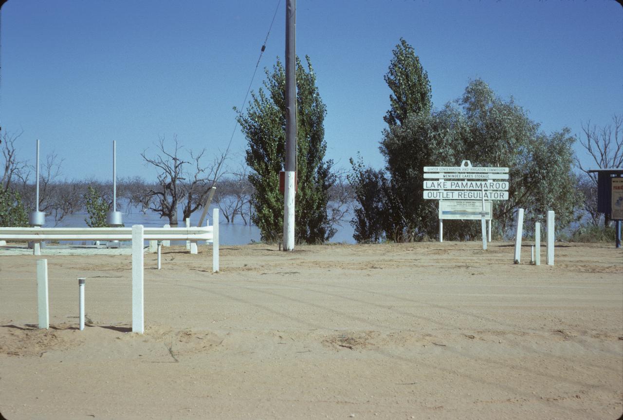
The Lake Pamamaroo Outlet Regulator area, showing the trees which are now under water and thus have died. The Menindee Lakes Scheme was built in 1960, and augmented in 1968.
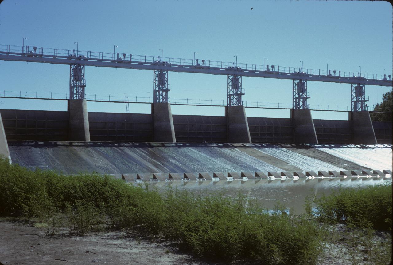
The main weir of Lake Wetherell, and thus the outlet allowing water to continue down the Darling River. These lakes only fill when there is flooding on the river, and thus also provide some flood mitigation.
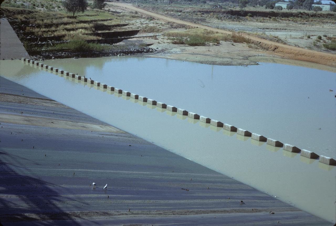
Note the seagulls on the dam spillway. They are a long way from the sea just here! This is the downstream side of the Lake Wetherell weir.
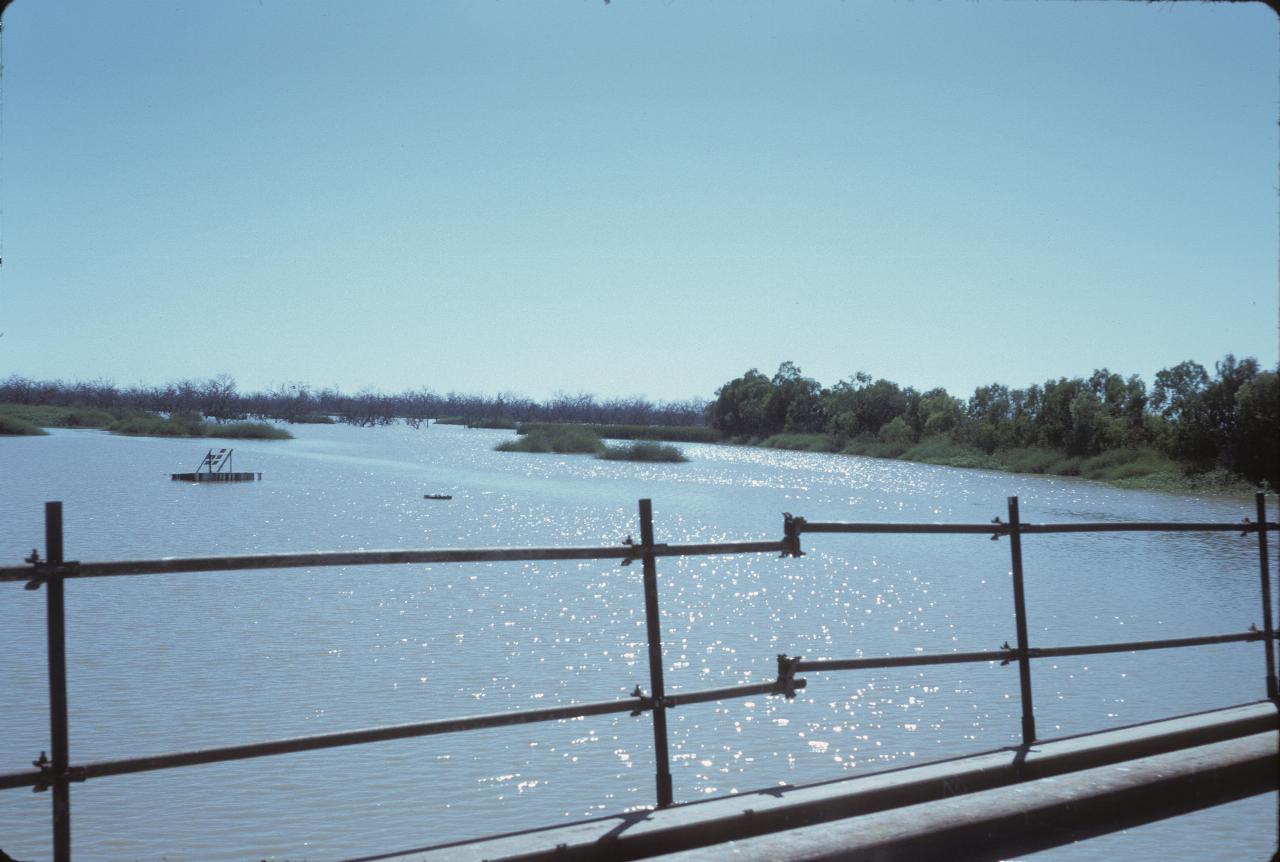
The upstream view from the main weir. The lush growth along the edges shows what a regular supply of water will do.
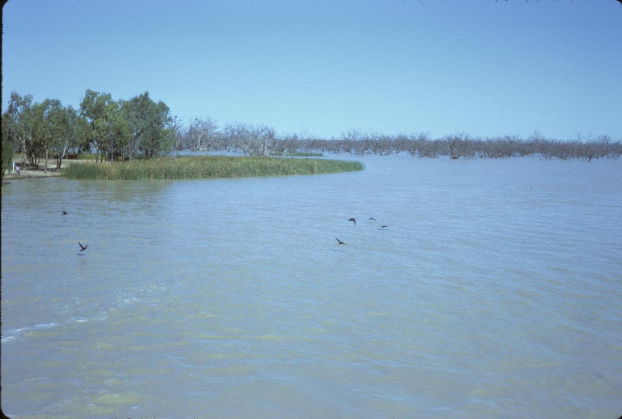
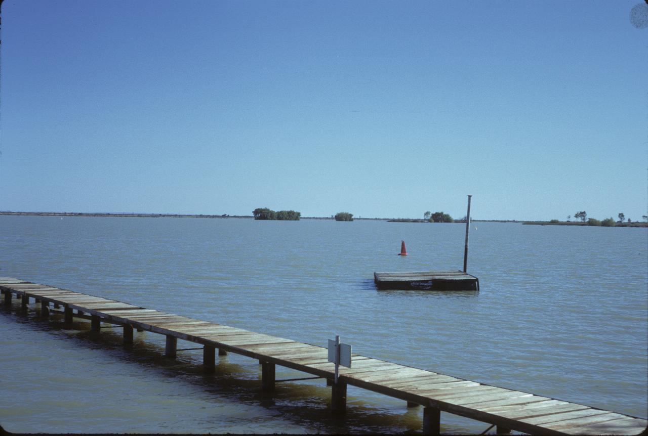
This area is a major bird feeding/breeding area. It's impossible to see what these birds are - even in full resolution.
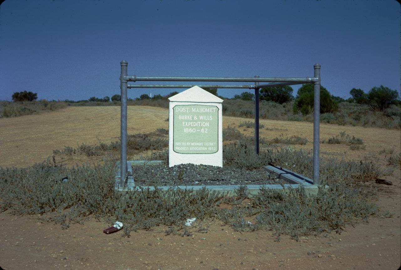
Menindee (the town is quite near the lakes) is where the ill-fated Burke & Wills expedition to trek from Melbourne to the north coast, stayed for a time at Maidens Hotel. It's still there. This is the grave of one of their camel riders Dost. Mahomet.
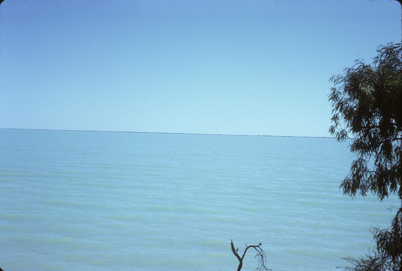
Whatever lake this is, it's big. This might be almost called a "blue out", as there's little difference between the colour of the water and the sky.