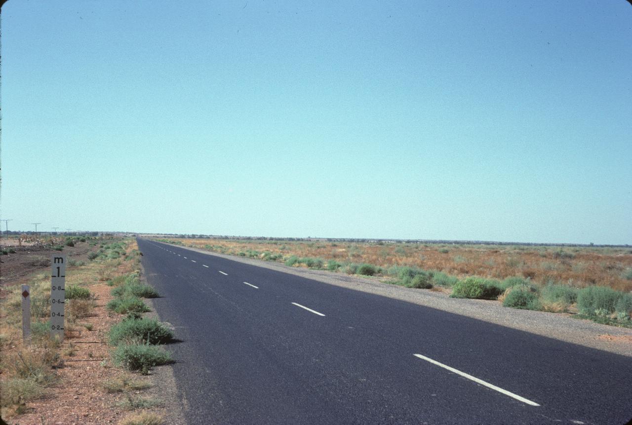

There's not much between Cobar and Wilcannia on the Darling River. It's mostly flat, with the just the occasional rise in the road. This scene is typical of the country. But notice the flood level gauge on the left hand side. It's hard to imagine floods in this area.
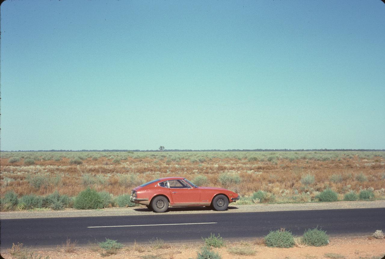
This photo was taken at the same location as the one above. It really is difficult to imagine floods in this part of the world. However, I suspect this is somewhere near the Darling River, which is perhaps indicated by the line of trees on the distant horizon. After heavy rains, the river does flood, and it takes weeks to months for the water to work its way down.
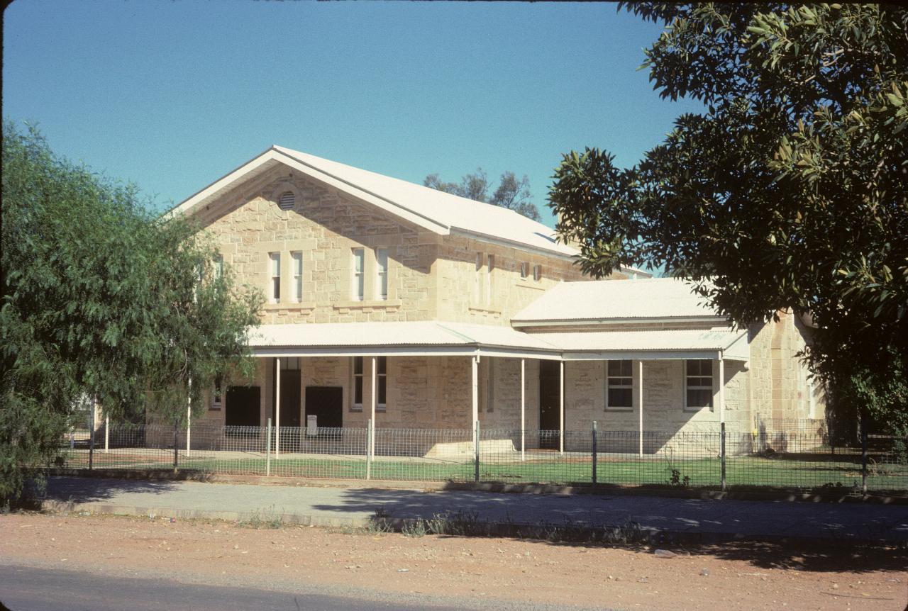
The Wilcannia Court House. Wilcannia was once an important river town, as the Darling River was the mainstay of transportation in the area, using paddle wheelers because of their low draft. Then there's the story on one that made it to Bourke (quite a bit further up river from here) and was stranded for a number of years as the level became too low to leave. It is still the major settlement for this part of New South Wales, being about midway between Cobar and Broken Hill.
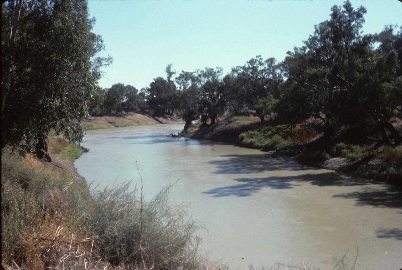
The Darling River at Wilcannia. Seems to have a decent amount of water in it, though I think 1974 was a very wet year in Queensland, so this is probably related.
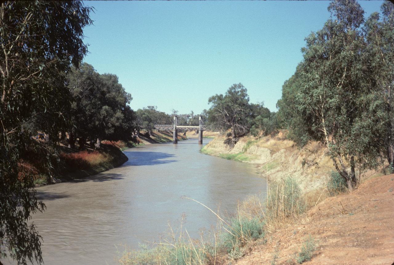
The bridge is for the Barrier Highway to cross the river. Note that it is a lifting bridge which allows boats access, perhaps especially when the river is higher. I don't know if the lifting mechanism was still functional; it may not be, as I doubt there is still river traffic of a commercial nature.
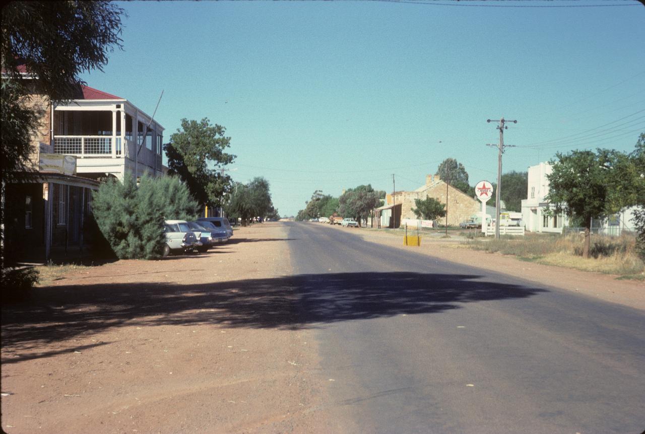
The main street of Wilcannia.
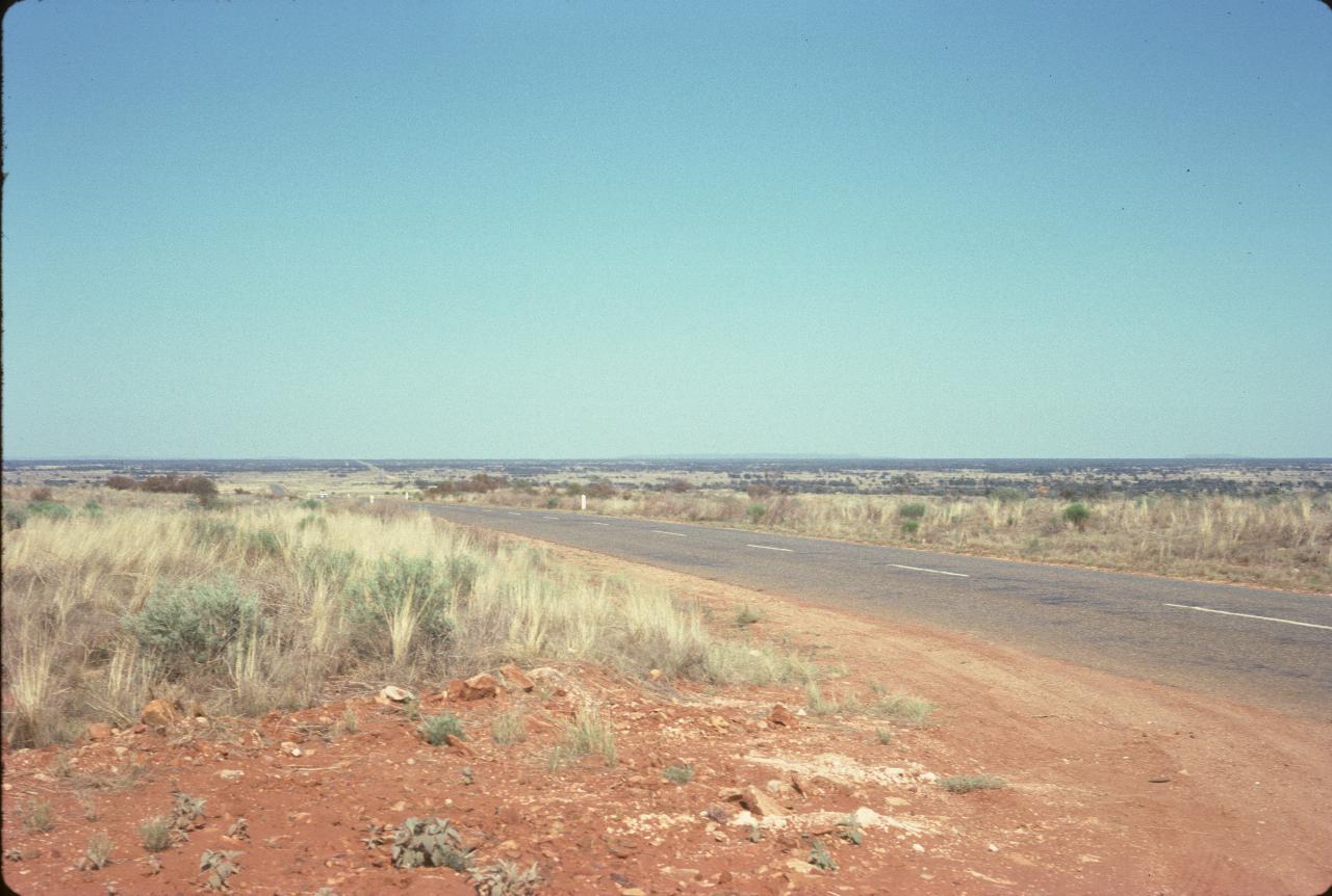
"On the road again..." somewhere between Wilcannia and Broken Hill. This is one of the "high" spots along what is mostly a flat road.
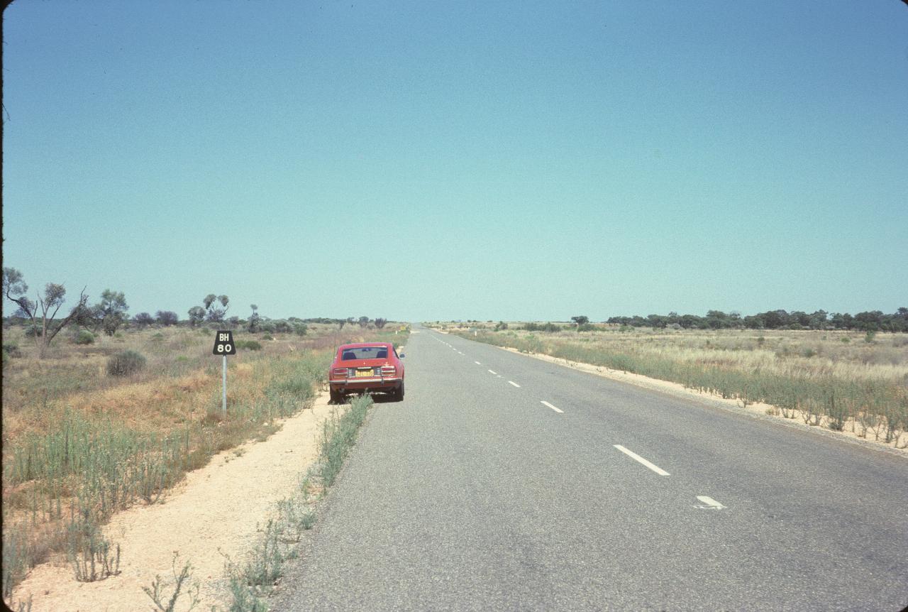
Zooming in on Broken Hill ("BH" on the sign) - just 80 km to go. Note the country hasn't changed much!
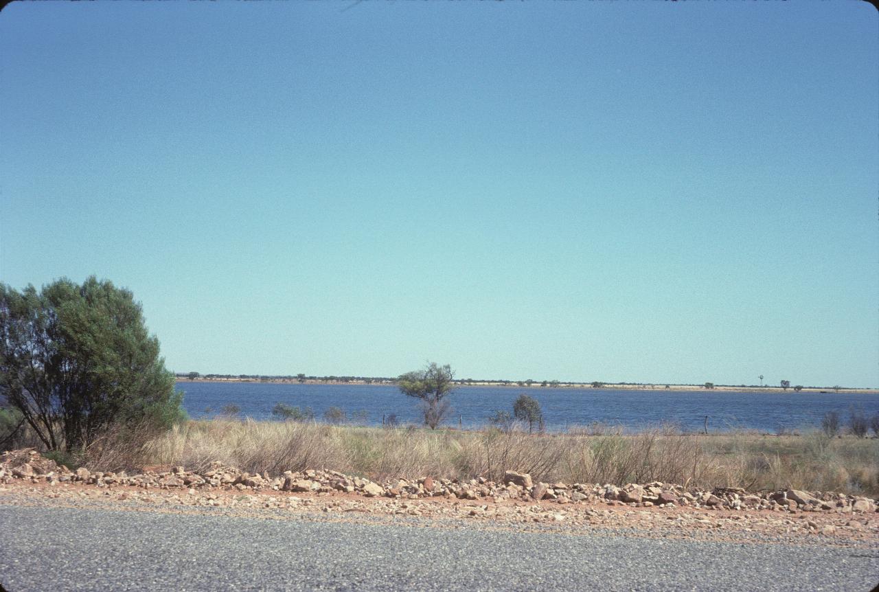
Water! Well, it's somewhere between Wilcannia and Broken Hill. Which means it's either part of Stevens Creek Reservoir, or Imperial Lake, which is on the outskirts of Broken Hill.
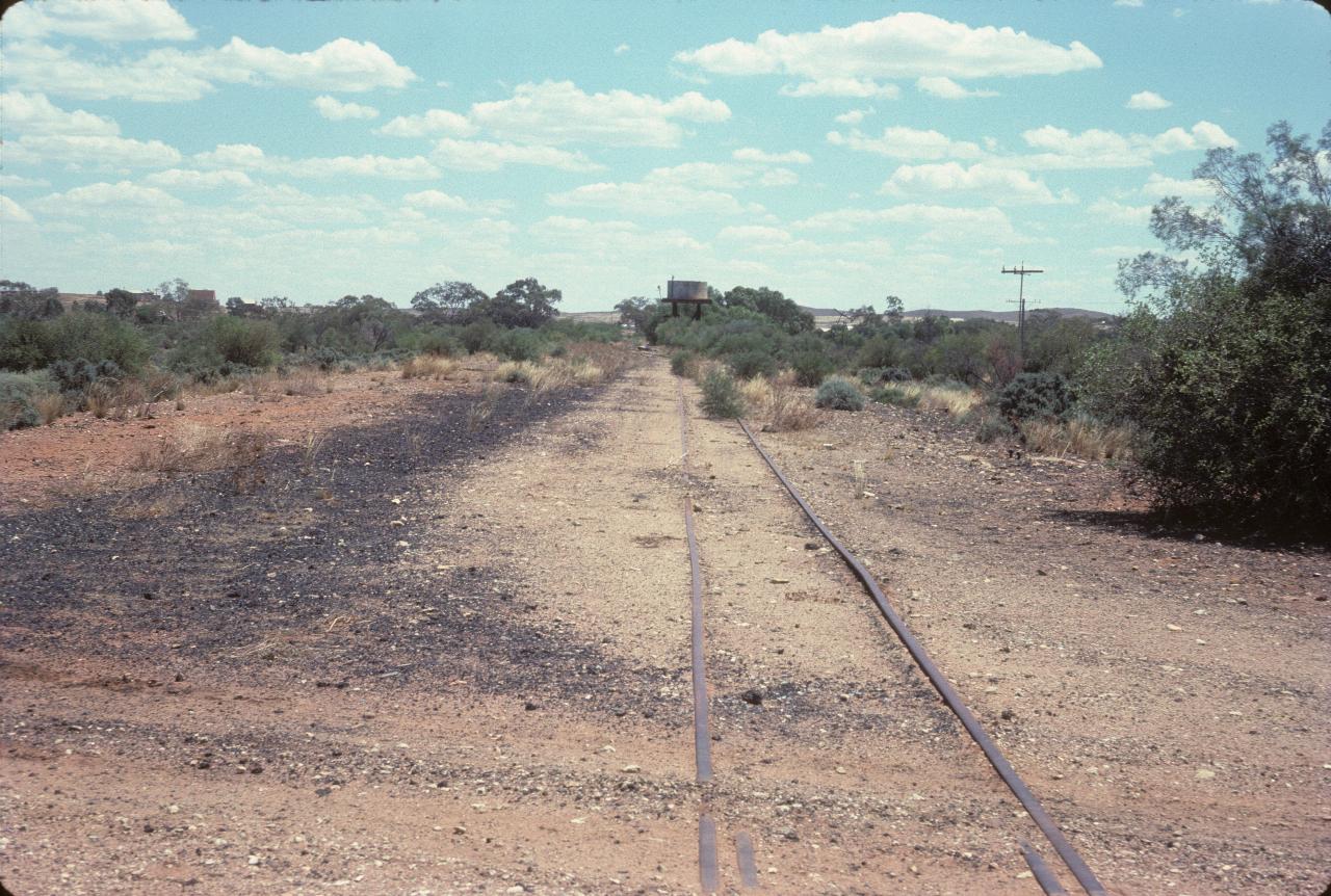
After checking in to a motel, it was time to visit Silverton, the location for Mad Max Movies, although I confess to not having seen any of them. This is part of the old Silverton Tramway, which if memory serves me correctly, used to run to Port Pirie in South Australia to deliver the ore from Broken Hill mines to the smelter. It was a narrow gauge line opened in 1888 to take the ore to South Australia for smelting. It was replaced by the standard gauge line built to connect Sydney to Perth.
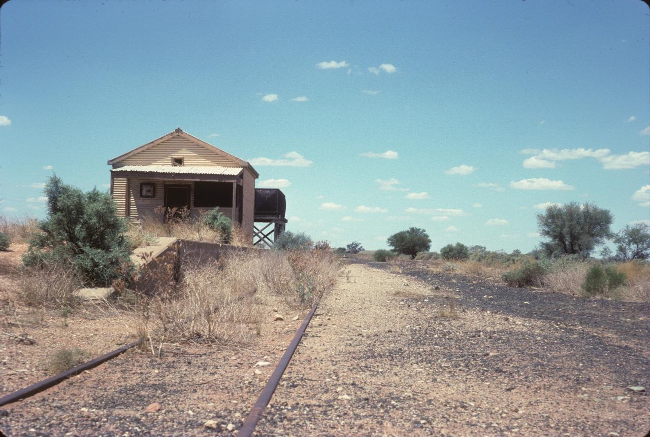
The former Silverton station. The standard gauge line runs on a different alignment to the Tramway. Modern equipment (I presume) allowed the easy construction of a more direct line to South Australia.
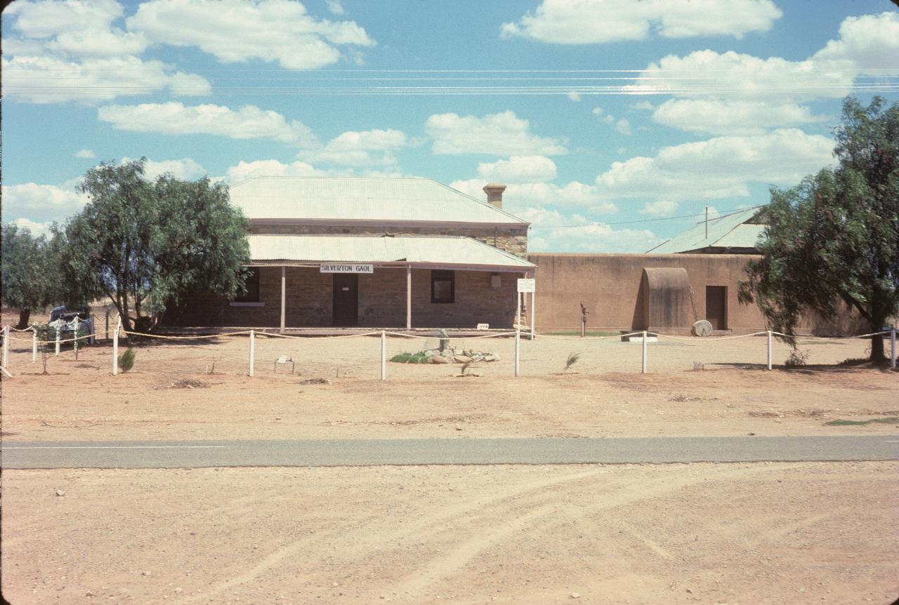
The Silverton Goal is now a museum. Silverton claims to be a ghost town, though there are a few residents still there. But long gone is its hectic time as a mining town.
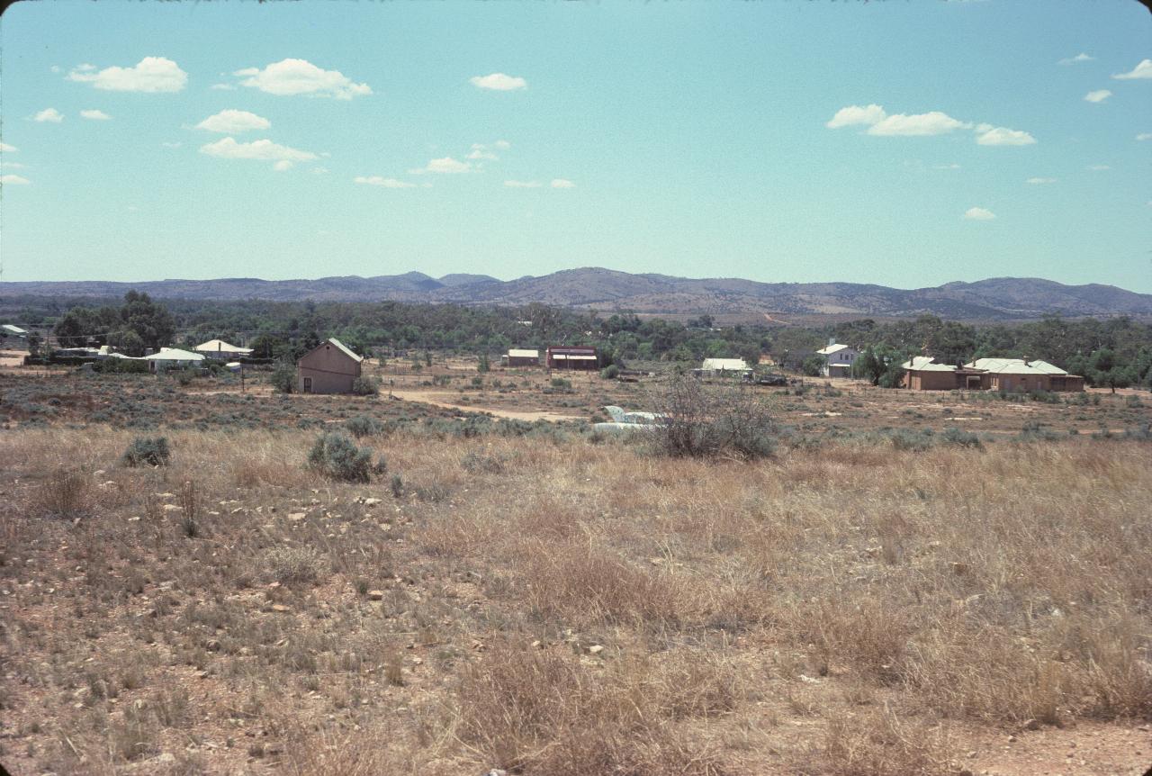
What remains of Silverton. The building on the right is probably the museum/goal shown above. High grade silver was discovered in 1875, and the town boomed to 3000 people by the 1890s. The ore was soon depleted, and the population moved to Broken Hill's more extensive ore body.
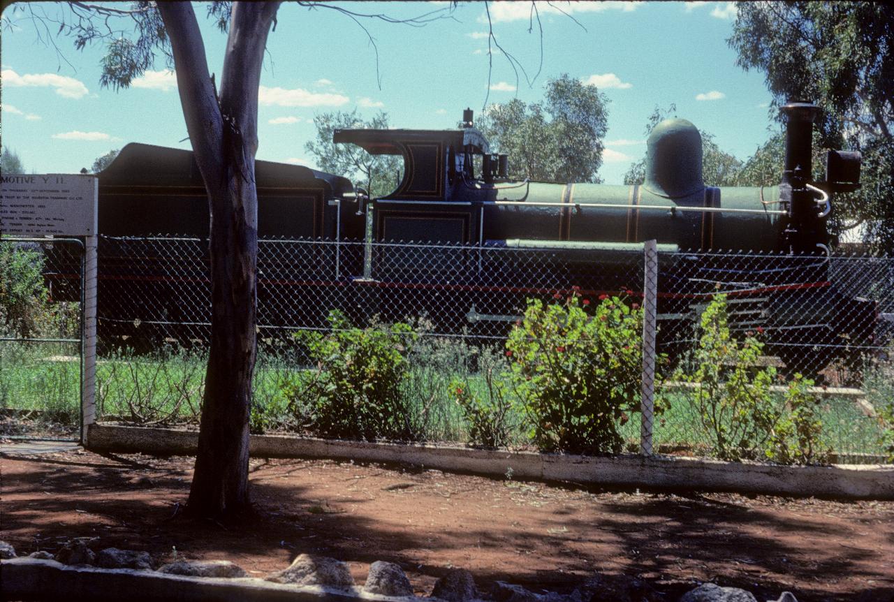
One of the Silverton Tramway's locomotives, now on display in a recreation area near Silverton.
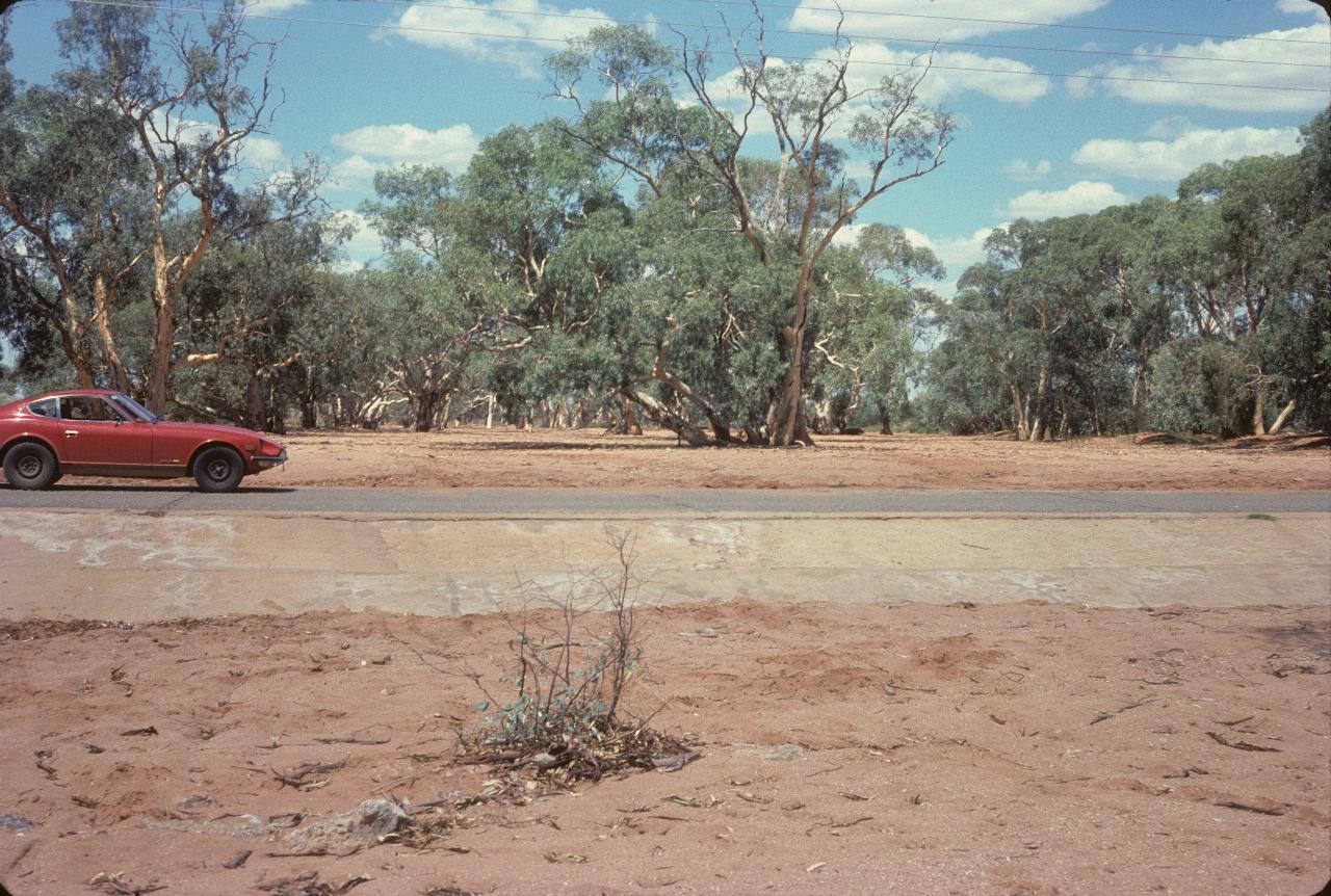
It doesn't rain much in this part of the world! Otherwise there would be a bridge across this "creek". Though the trees seem pretty heatlthy.
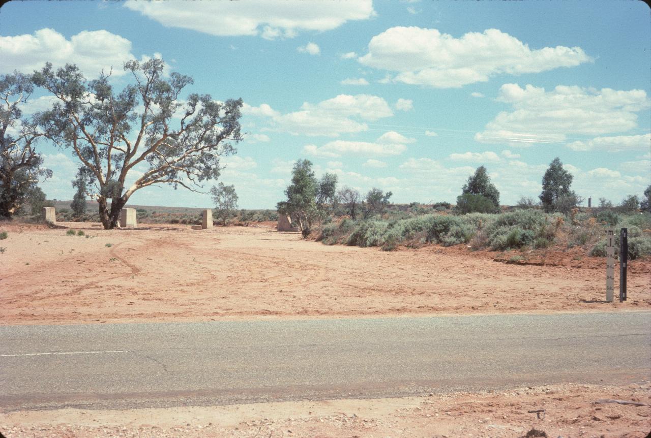
Another dry creek, this time with the remains of a bridge built for the Silverton Tramway.
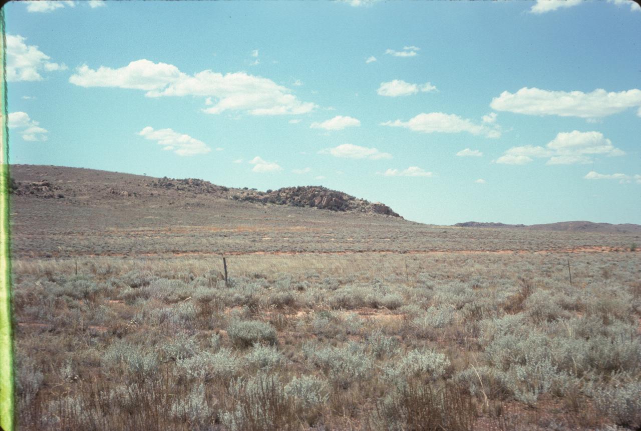
Somewhere between Silverton and Broken Hill, this is not an unusual form of landscape in the area. The country sure looks dry.