Prince Rupert, BC to Alaska

We had another early start this morning, as there was another storm coming in, and another "somewhat" open water crossing at Dixon Entrance which is a small break in the barrier islands which had been protecting us most of the way from Seattle.

Fill 'er up

First stop was to refill the boat's fuel tanks.

BC Ferry

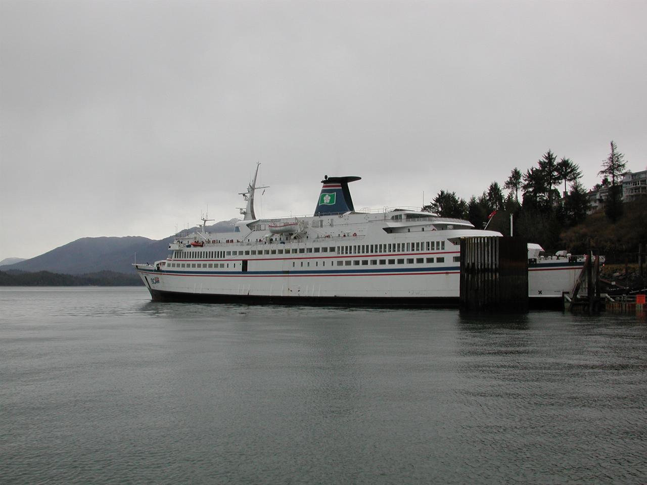
One of the BC Ferry fleet, the Queen of the North.

A sad addendum: In the early hours of March 22nd, 2006, while sailing from Prince Rupert to Port Hardy, this ferry struck a rock off Gil Island in Wright Sound, and sank in 1400 feet of water. It is now resting on silt at the bottom, in an upright postion. Two passengers are unaccounted for. The other 99 passengers and crew evacuated, and were rescued by the nearby community, using all available boats. The vessel took about 2 hours to sink after hitting the rock.

Fuel truck entering BC Ferry

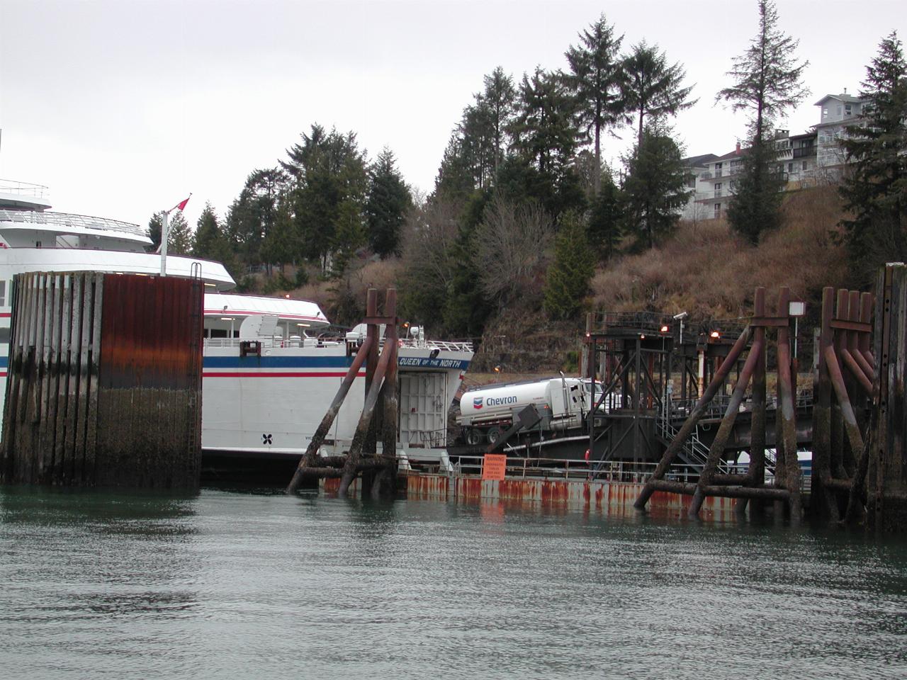
Looks like the ferry is also refuelling. It wouldn't have been able to pull into the dock we used! So, the fuel truck comes to the boat - what service.

Klondike Express pulling away from Prince Rupert fuel dock

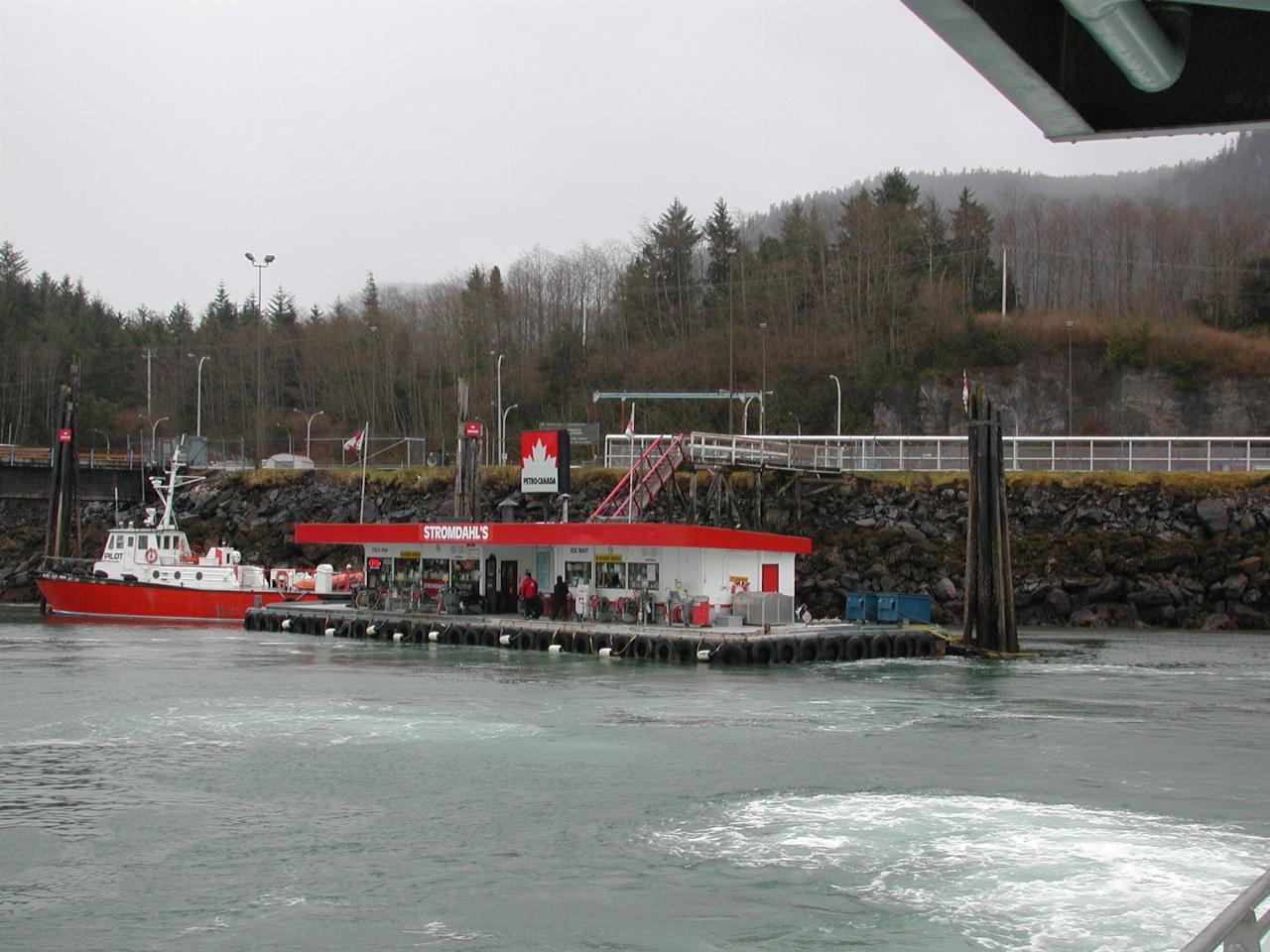
Pulling away from the fuel dock.

Light House

Travelling north with a number of islands protecting us from the open ocean, we pass this light house, east of Dundas Island.

Lighthouse all alone, probably off Dundas Island, BC

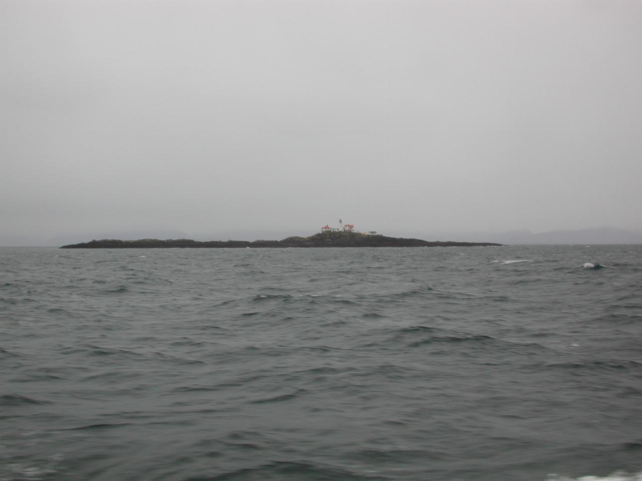
It looks somewhat like a submarine!

Lighthouse all alone, probably off Dundas Island, BC

A close up of the important bits.

Northern tip of Dundas Island, as we reach open waters of Dixon Entrance

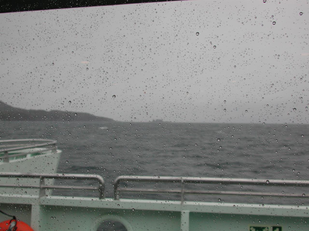
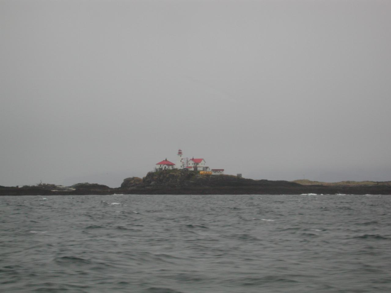
It was raining heavily, as seen by the rain on the front windows of our cabin, as the northern end of Dundas Island comes into view. This is the point at which we lost our protection from the Pacific storms.

left arrowDay 3: At Port Hardy
up arrow Alaskan Tour
Misty Fjords National Monument Iright arrow