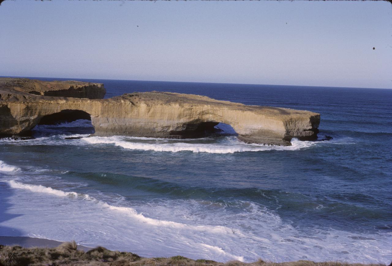
These photos were taken during the May school holidays on a trip from Sydney to Adelaide along the Murray River and thence back along the Victorian coast through Melbourne and on to Canberra. While the location of the photographs was recorded at the time (I did it!), that documentation has been lost. Thus, some of the locations are unknown, and possibly were even at the time, given some of the photos. Google Images helped to locate some locations.

London Bridge formation along Victoria's Great Ocean Road at Peterborough. Or, at least, it was London Bridge, but has been renamed after the January 15th, 1990 collapse of the left arch, leaving just a single arch, hence the new name of London Arch.
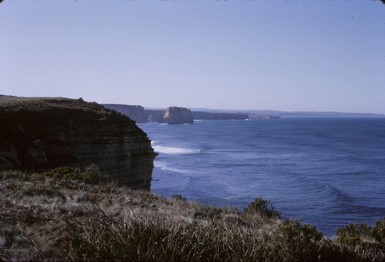
A lone limestone stack in the ocean along the cliffs near Port Campbell.
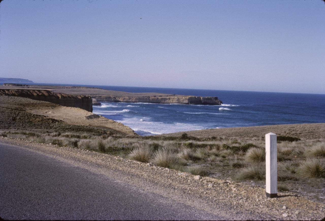
Another section of the coast from The Great Ocean Road.
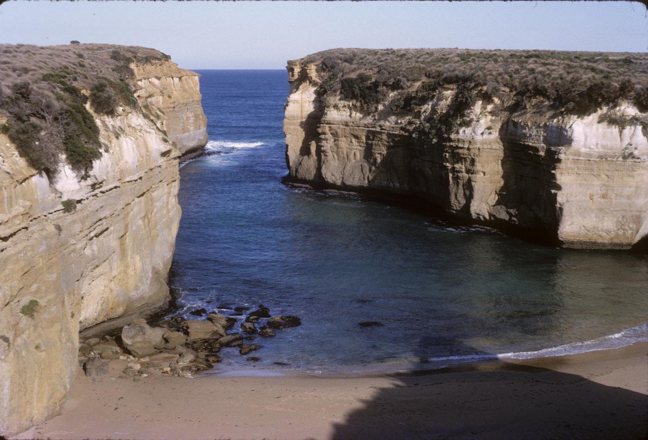
Loch Ard Gorge named after the ship Loch Ard which ran aground on a nearby island in 1878. There were only 2 survivors, one crew member and one passenger, who made it to shore here. Wikipedia has more details should you be interested.
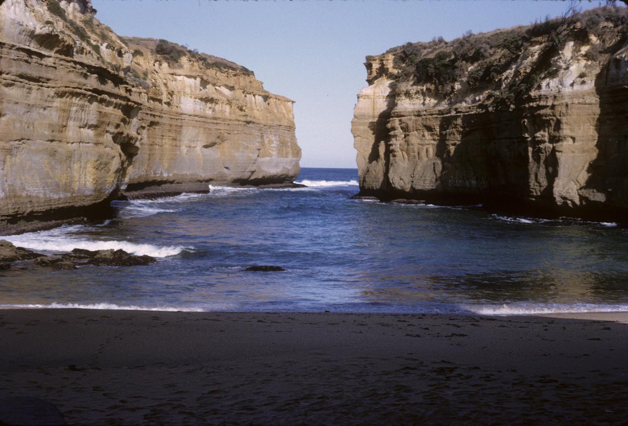
The Gorge from beach level. It's clear where the cliffs are being undermined by wave action, as happens all along this section of coastline.
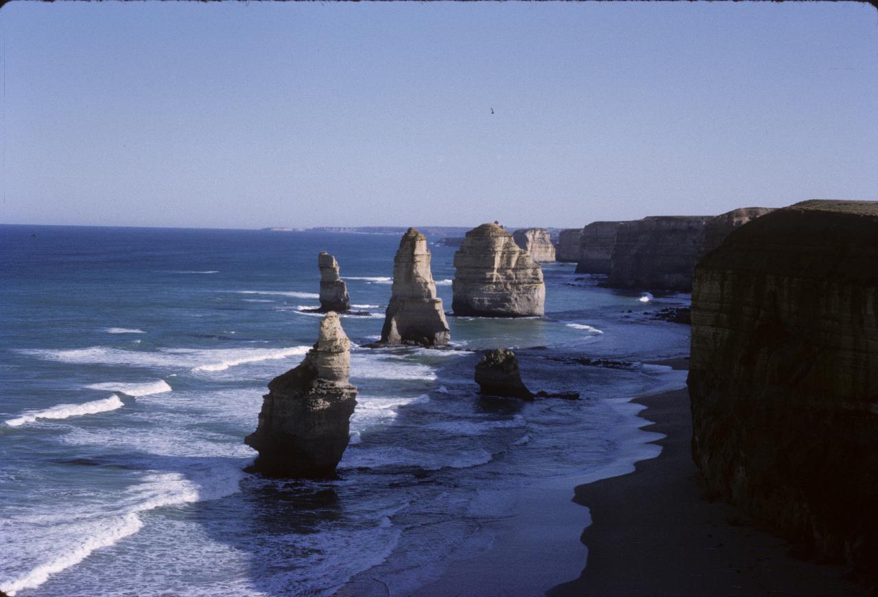
These are six of the then 9 limestone stacks in the formation called The Twelve Apostles. There is another, large one, to the left of this picture. The nearest stack collapsed on July 3rd 2005, leaving just eight; the others are also doomed, but the same process of erosion will create new ones too. As a point of reference, the nearest, now former, stack was 50m high.
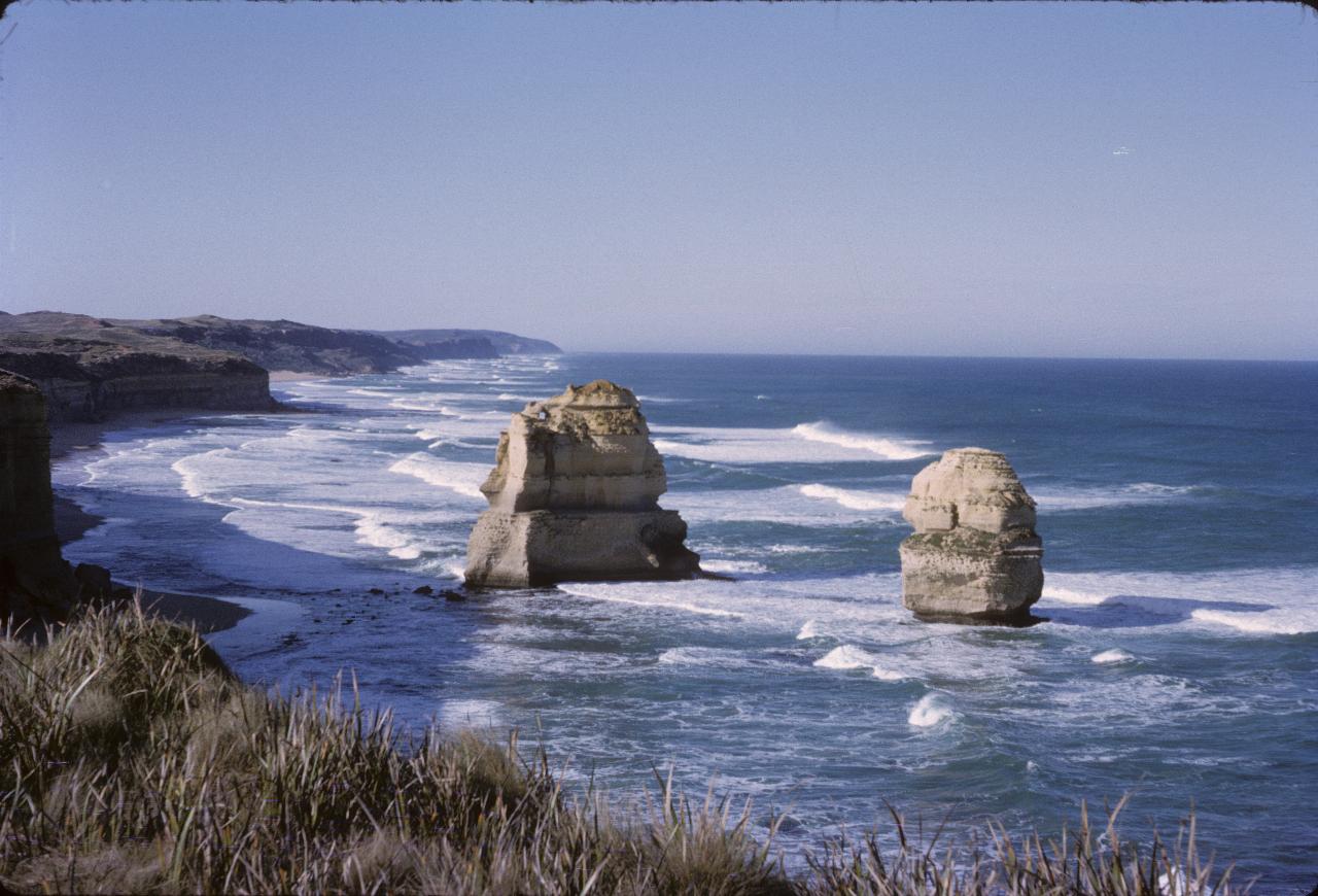
The two (lonely?) apostles east of the headland used to observe them. This is, obviously, looking east.
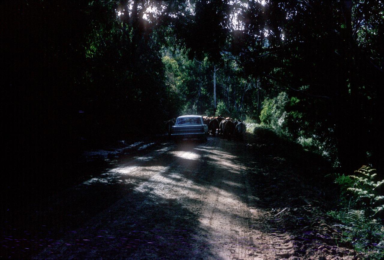
The Great Ocean Road was not entirely paved back in 1964, and also served other purposes, as these cattle show.