These photos were taken during the May school holidays on a trip from Sydney to Adelaide along the Murray River and thence back along the Victorian coast through Melbourne and on to Canberra. While the location of the photographs was recorded at the time (I did it!), that documentation has been lost. Thus, some of the locations are unknown, and possibly were even at the time, given some of the photos. Google Images helped to locate some locations.

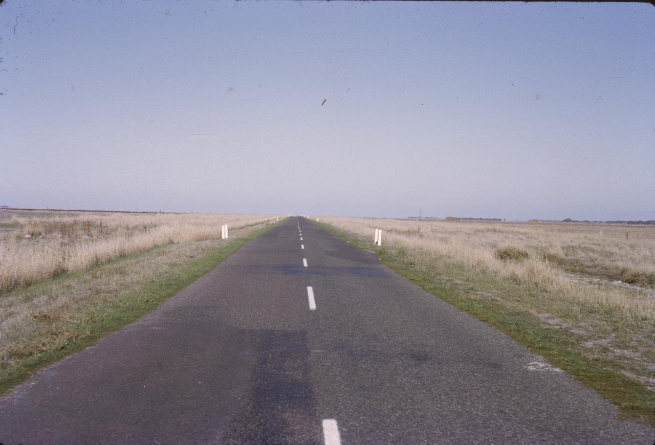
Another quiet road - quiet enough to stand in the middle and take a picture. And not very interesting country. The notes from back then say there is a mirage on the road - though it's difficult to see in this photo.
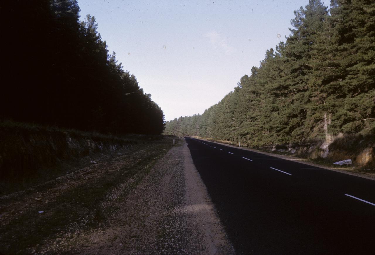
A very different scene to the one above! Still just somewhere in south eastern South Australia, a little before Mt. Gambier.
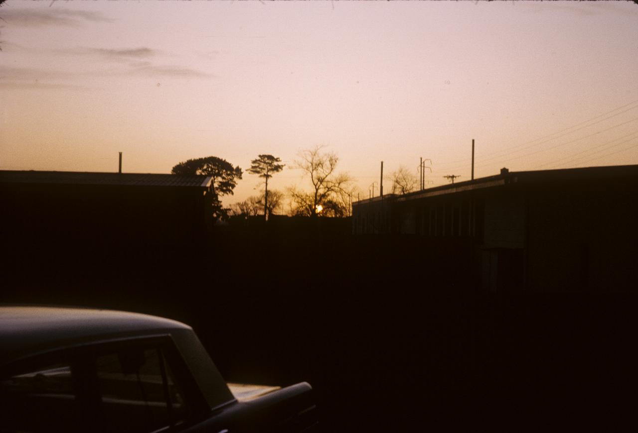
Sunset at Mt. Gambier, and the car was Dad' 179 (cubic inches).
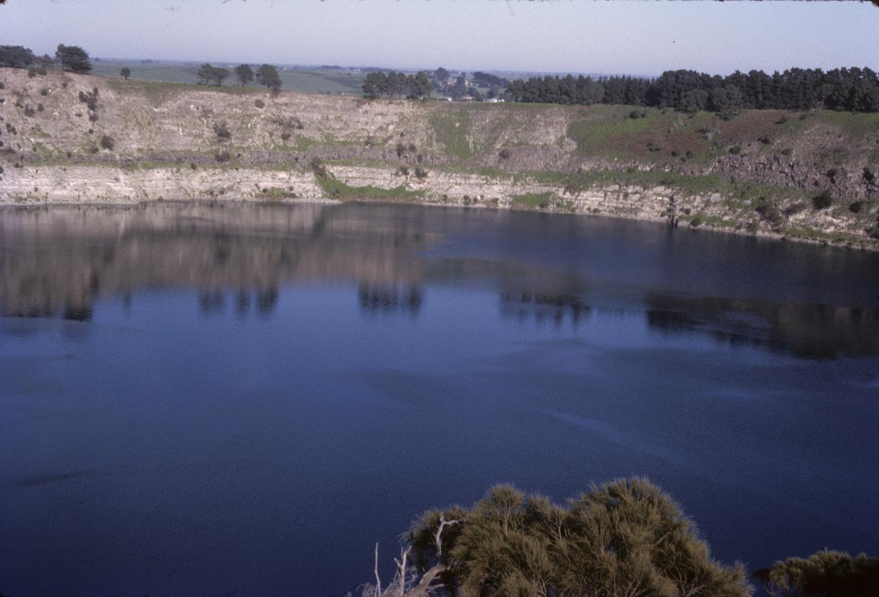
Part of Mt. Gambier's Blue Lake\ . It's an extinct volcano, and has very blue water - at least at the correct time of the year. The colour is due to the minerals dissolved in the water which absorb red and green light (I think that's it - Google will tell you). Judging from the lighter colour of the rock just above the water, the level is rather low. But it's autumn, so summer has likely been partly to blame.
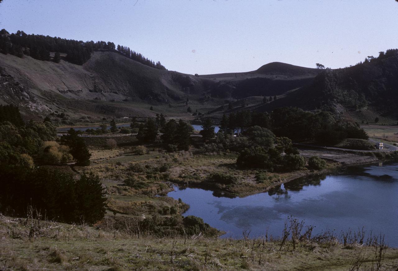
There are a number of caldera (volcanic craters after a major eruption) in the area from Mt. Gambier along the coast towards Melbourne. There seems to be some evidence that they may not be extinct (in 2011)! The lake on the right is likely Valley Lake, and the other Browns Lake.
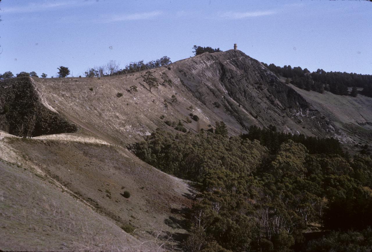
The tower building on the top of the rim of the caldera is Centennary Tower\ , built to commemorate the 1800 sighting and naming of Mts. Gambier and Schank as the first two major place names bestowed to South Australia.
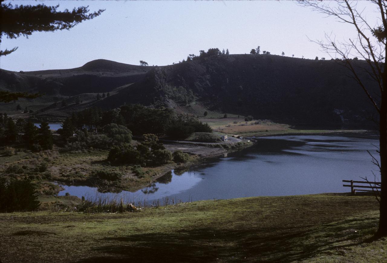
Another view of Valley Lake (right) and Browns Lake at Mt. Gambier.
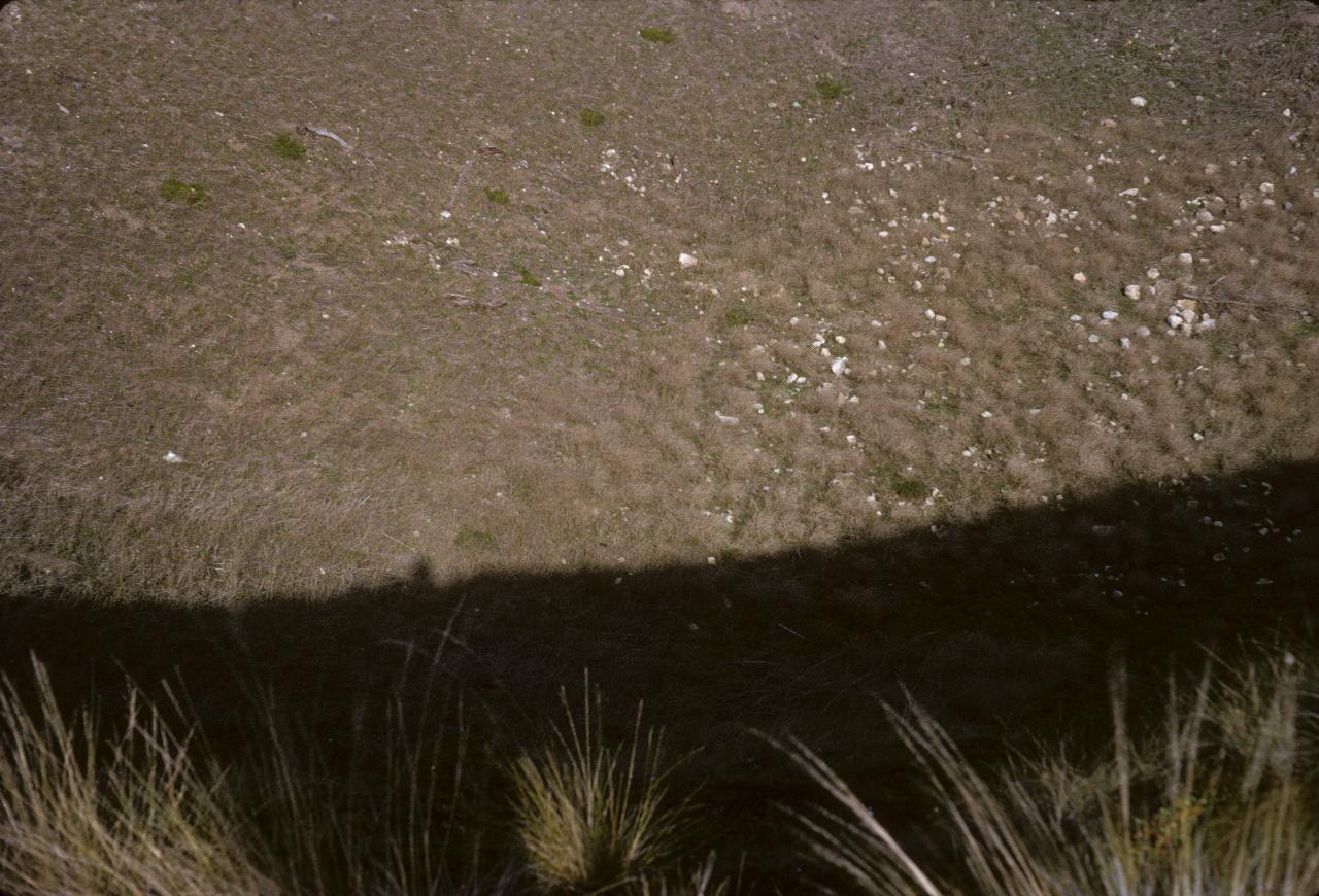
Umm, well, yes, I suppose it was obvious what this was about at the time, but this many years removed, it's hard to say. I suspect it was supposed to show how far down it goes, but there's no sense of perspective. The notes refer to it as a "volcanic crater".
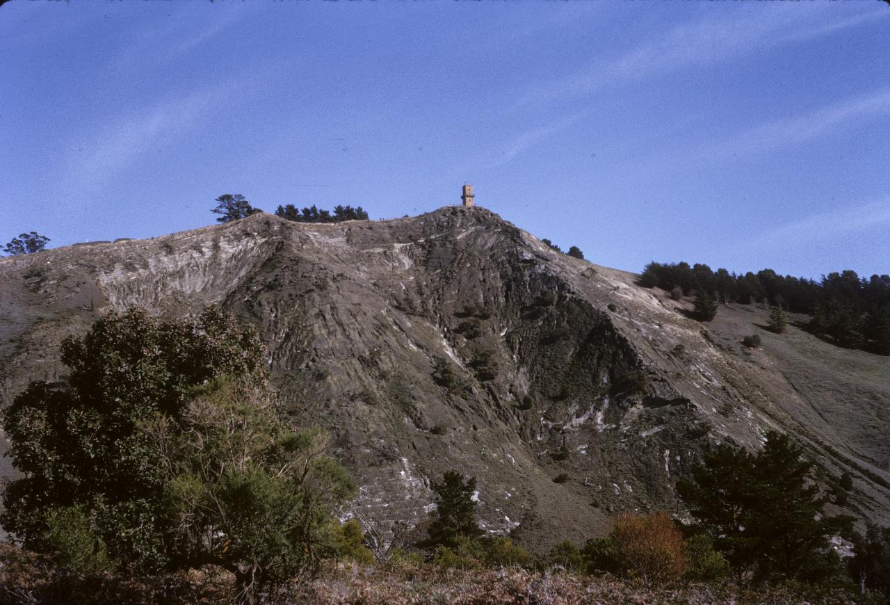
Centennary Tower seen from the bottom of the caldera.
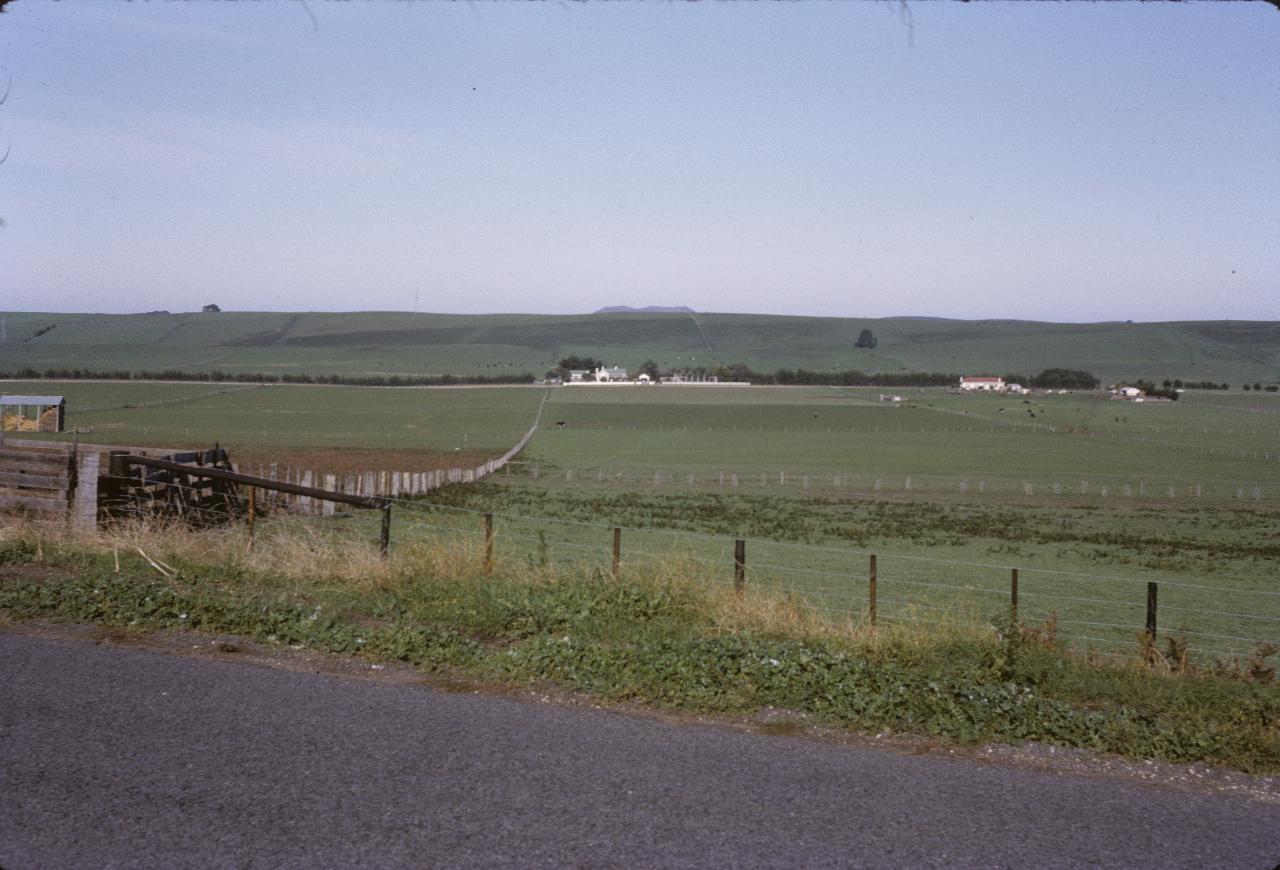
A country view on the way to Victoria's Great Ocean Road\ , which wasn't quite so great (unpaved sections) in 1964. This area of Australia seems to receive a great deal of regular rain - perhaps because there is no land west of here until Africa!
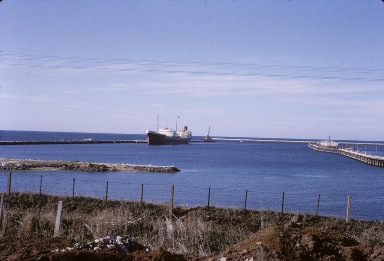
The harbour at Portland, in south western Victoria. It seems to be the only serious port between Port Phillip and South Australia. Portland was the first permanent settlement in Victoria.
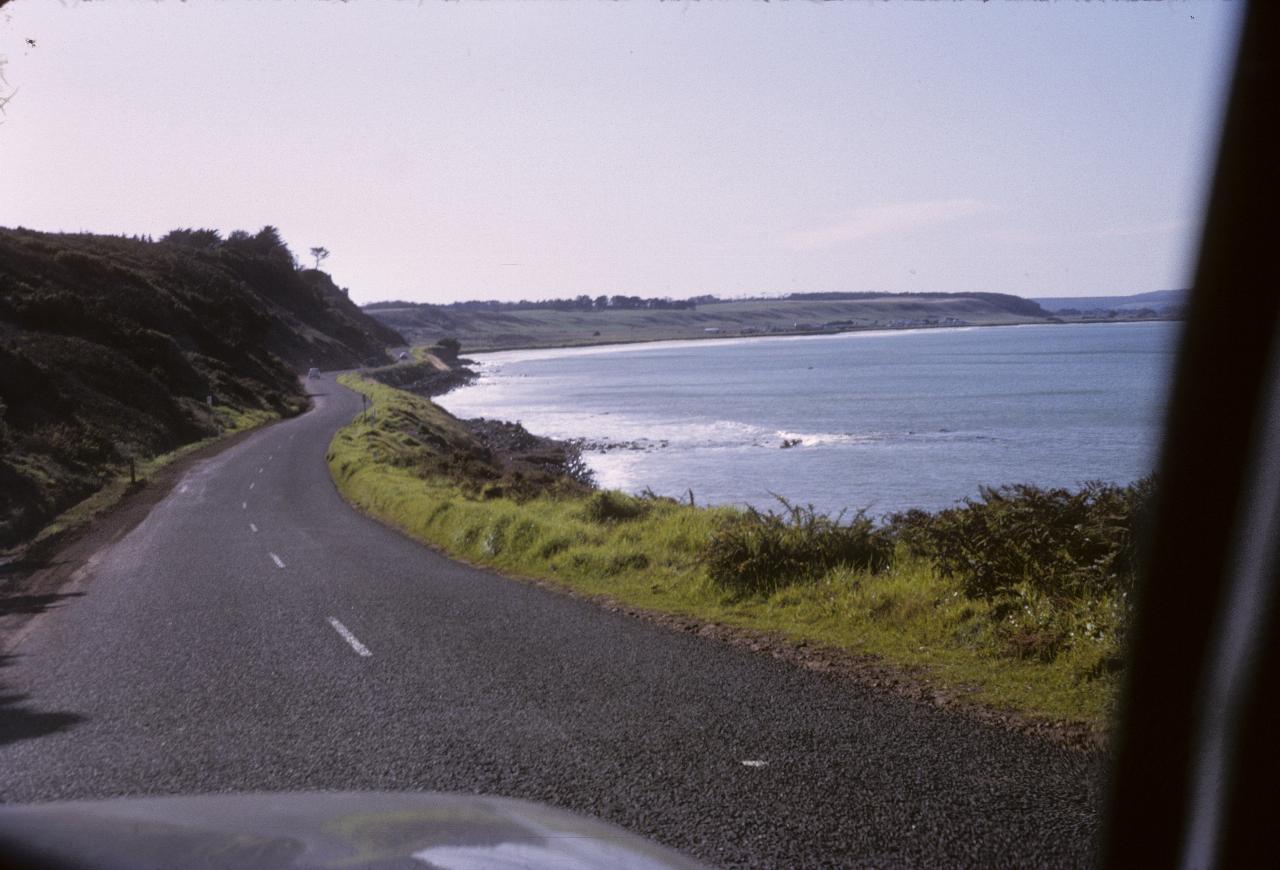
Some more of the bay at Portland.
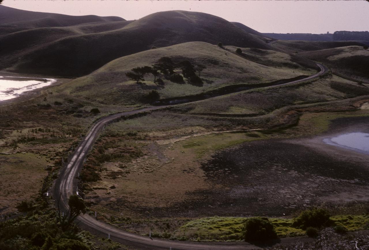
The notes say this is Tower Hill near Warrnambool. Which exactly is the hill is not clear.
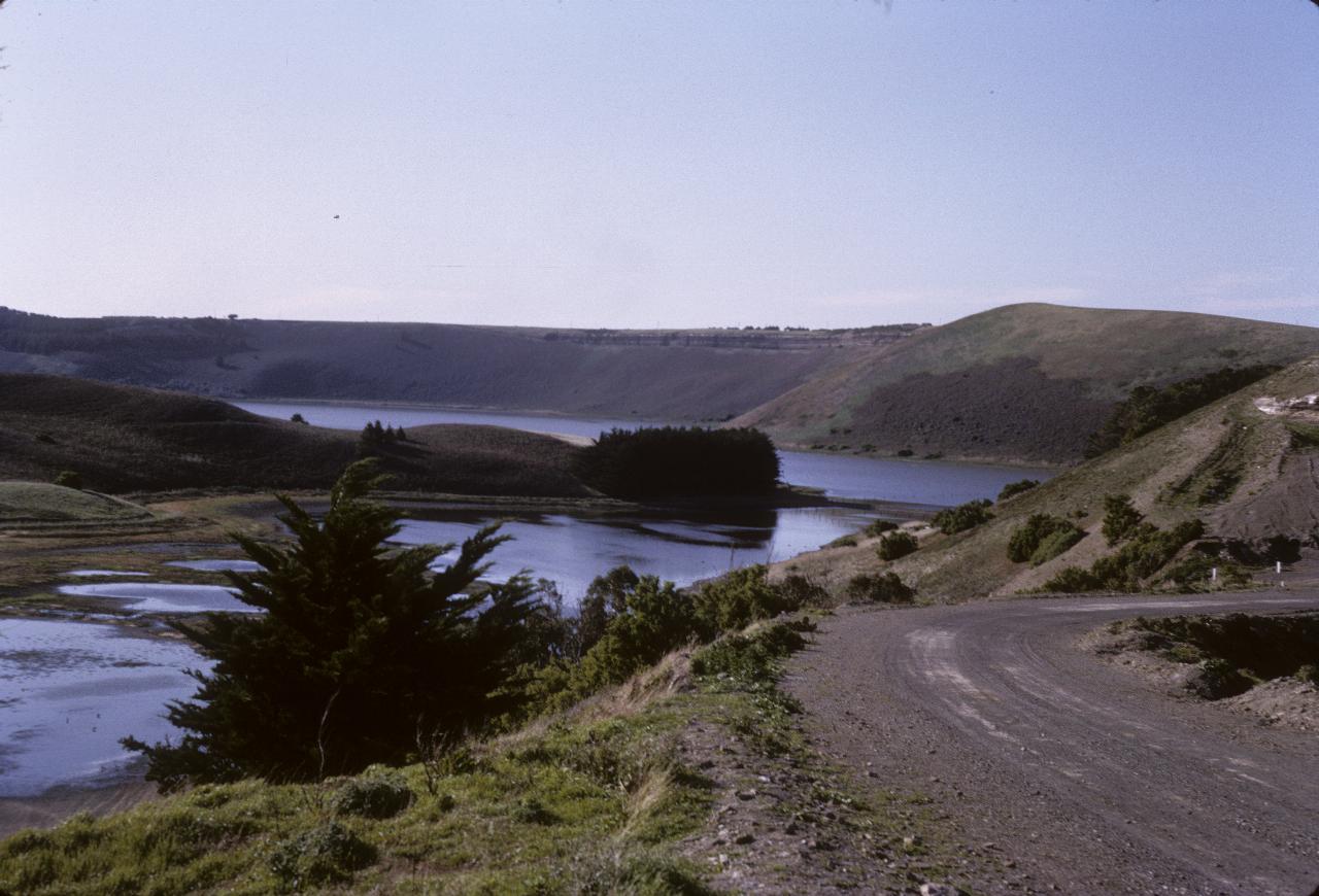
Also taken at Tower Hill, so perhaps the one on the right is Tower Hill.
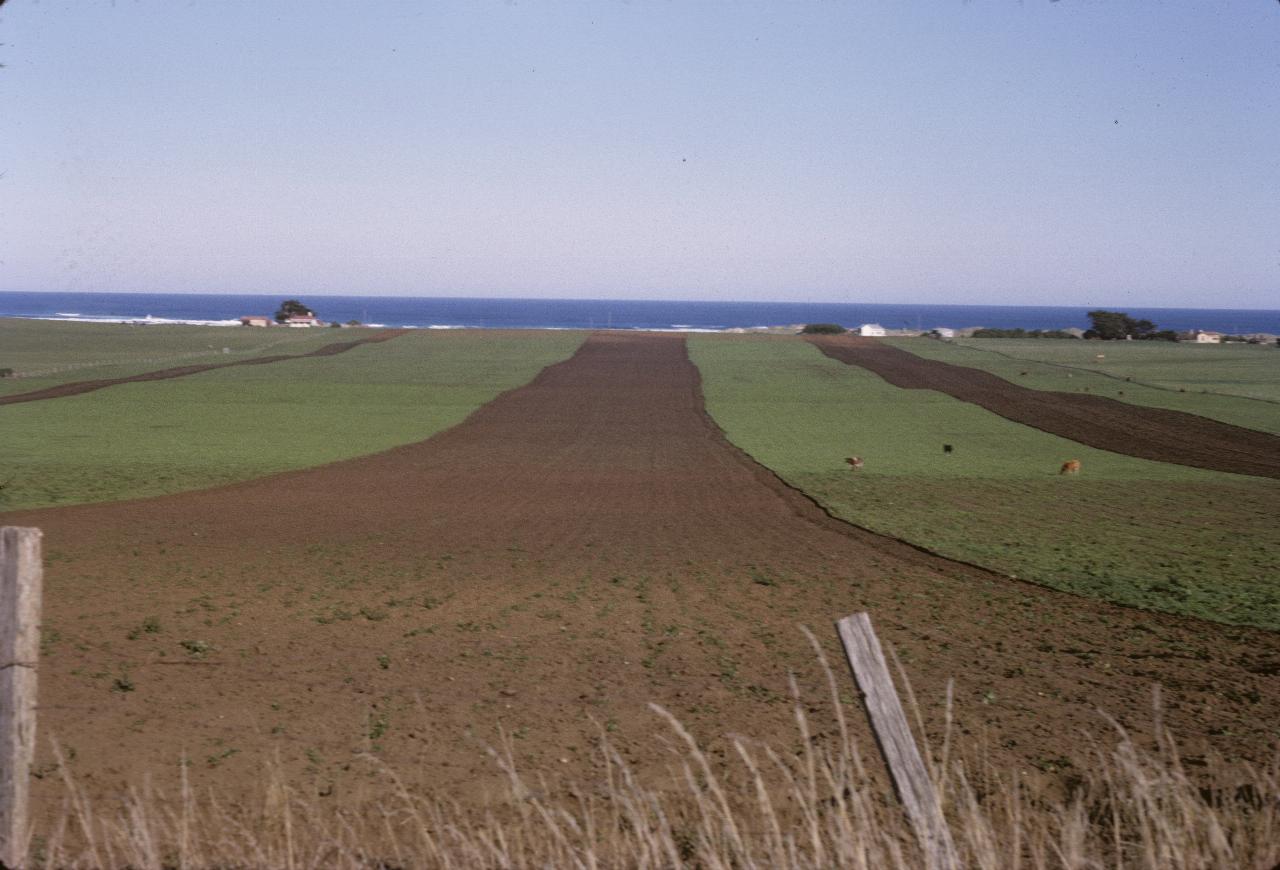
Seems an ideal location for the surfing farmer - farm one day, surf the next, and all from home! Somewhere along the south west Victorian coast, the notes saying that it is also near Tower Hill.
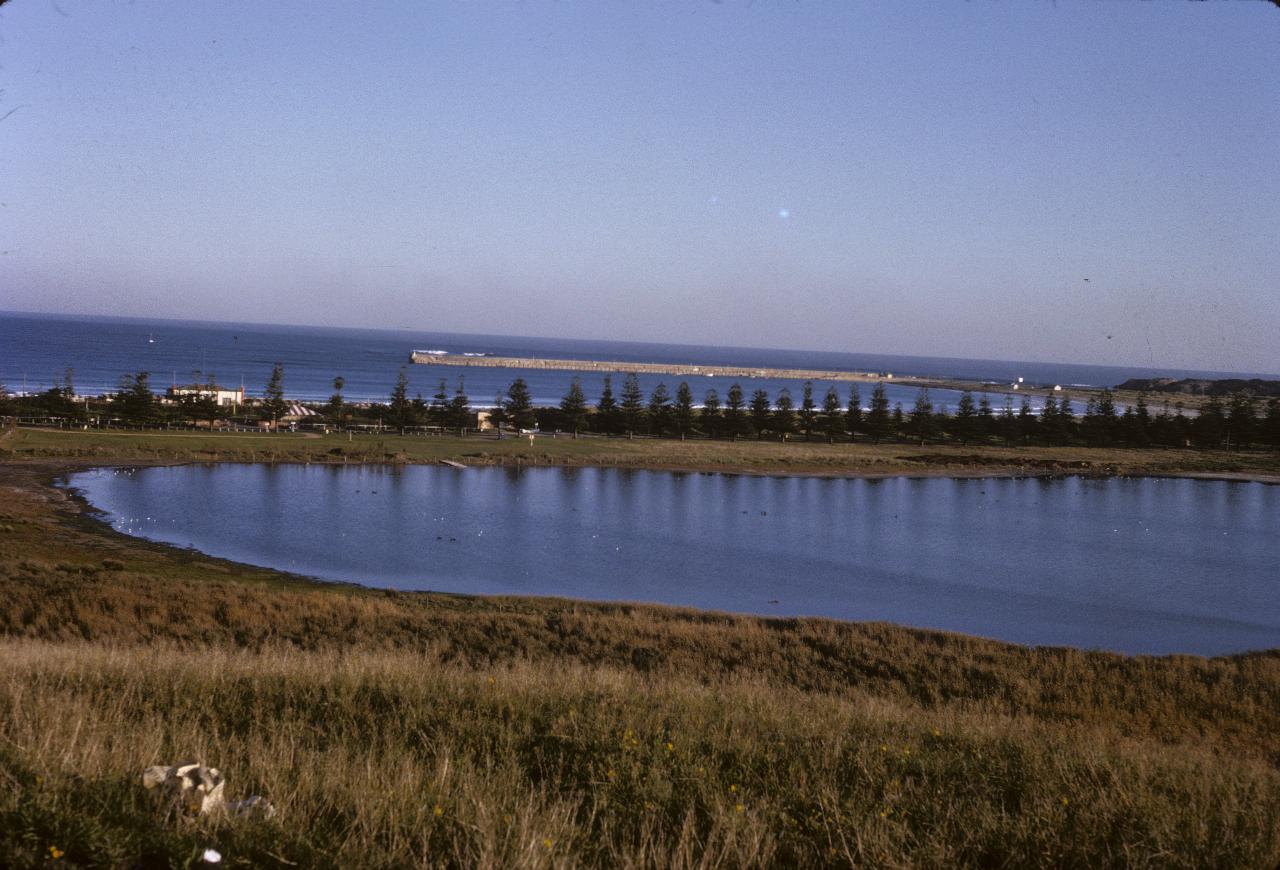
This may be Port Fairy, with Belfast Lough in the foreground. It's reasonable, as this is just before Warrnambool where we spent the night, and it looks like an afternoon photo. The notes simply describe it as "surfing beach at Warrnambool".