These photos were taken during the May school holidays on a trip from Sydney to Adelaide along the Murray River and thence back along the Victorian coast through Melbourne and on to Canberra. While the location of the photographs was recorded at the time (I did it!), that documentation has been lost. Thus, some of the locations are unknown, and possibly were even at the time, given some of the photos. Google Images helped to locate some locations.

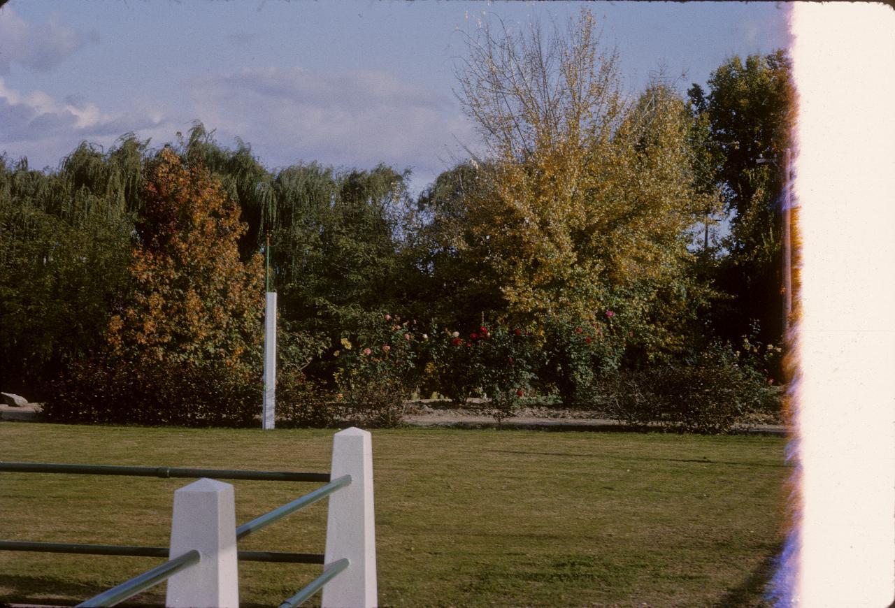
A park in Holbrook, with 10 Mile Creek running through the middle.
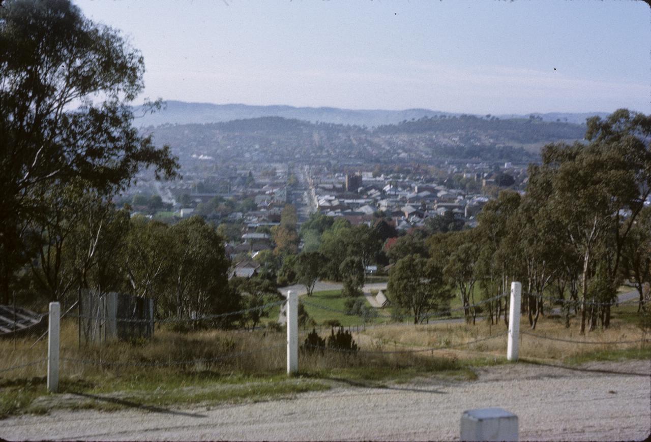
Albury, as seen from their War Memorial. It seems this was taken from the road up to the memorial.
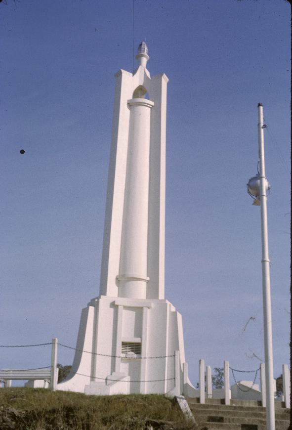
Albury's War Memorial, located on a hill overlooking the city.
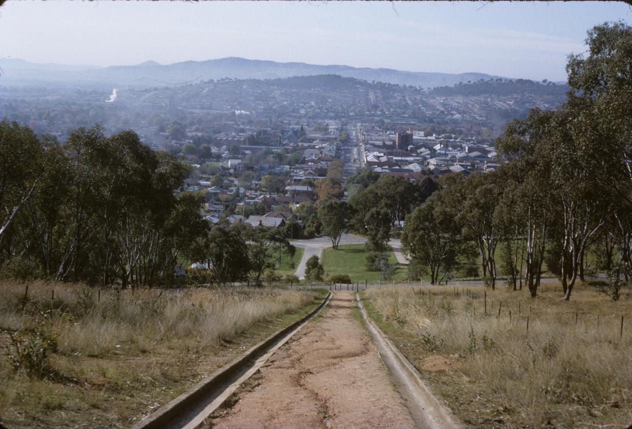
Another view of Albury, from the War Memorial. This one appears to be from a higher elevation.
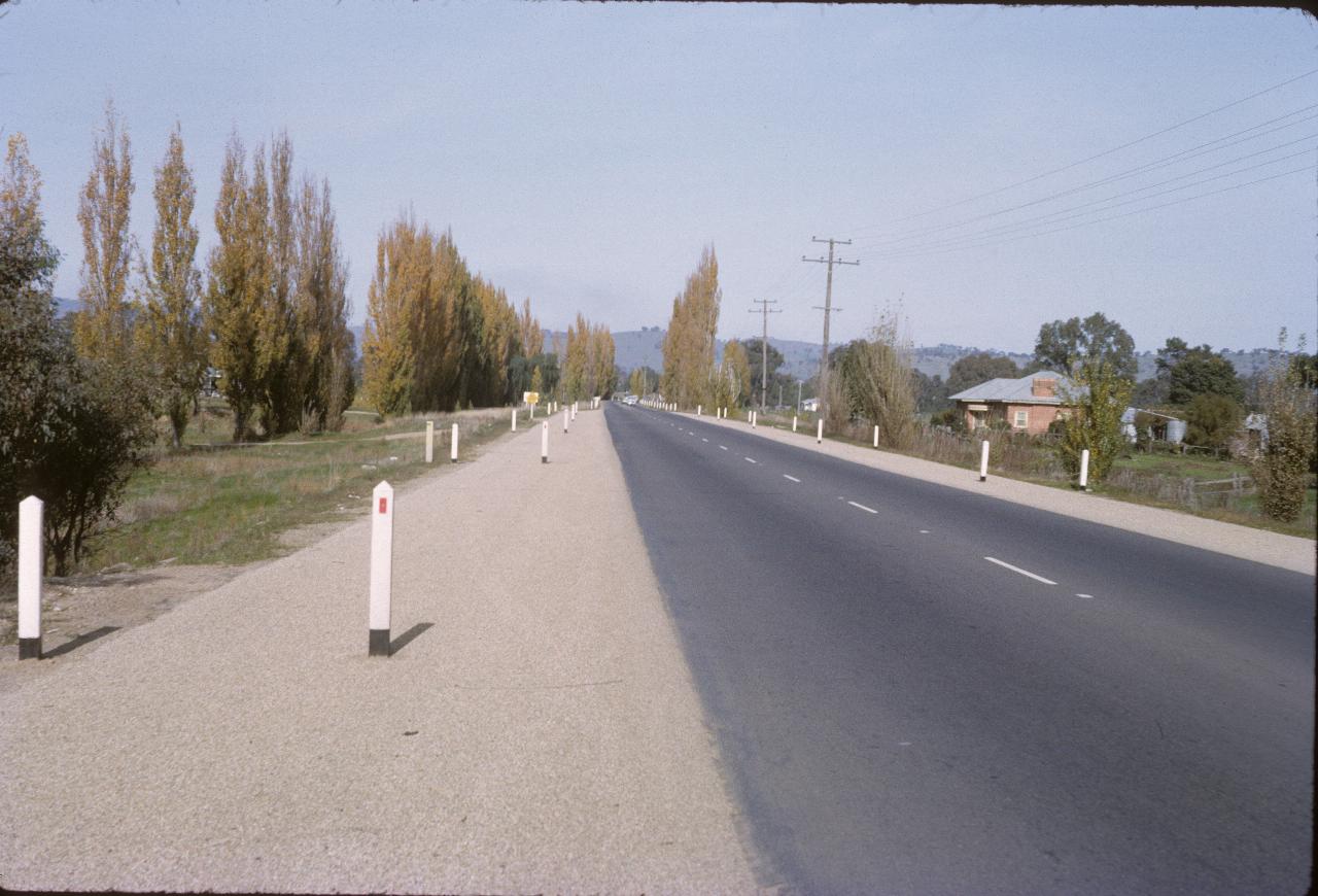
These poplar trees are just acros the Victorian border. This was at the time when there were fruit fly inspectors at the border, as Victoria was free of fruit flies, and did not want them being bought in with fruit from travellers. I don't believe there are any inspectors now - it's an honour system.
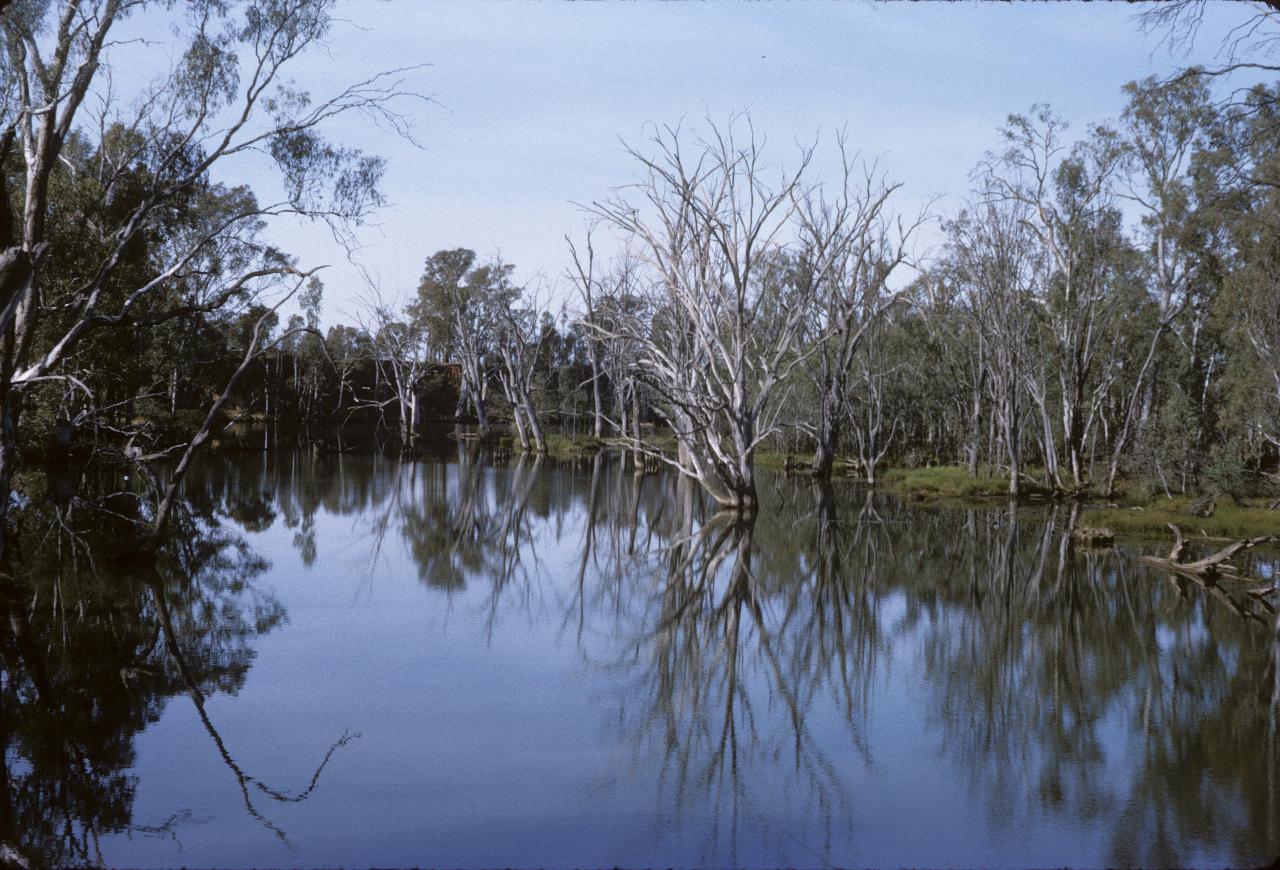
Dead trees in the Ovens River near the Parolo Bridge, looking south.
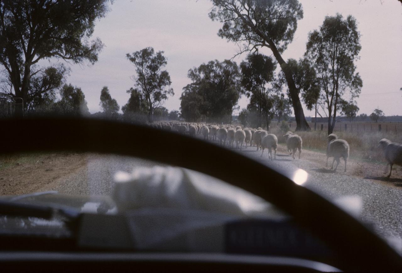
Ah, this photograph shows why single lens reflex (SLR) cameras are so good - in the viewfinder of a non-SLR camera, this image would have been fine. Unfortunately, the lens has this obstruction called the steering wheel in the way.
Anyway, the picture shows that an important road - The Murray Valley Highway in this instance - can still be blocked by a mob of sheep. This still happens today!
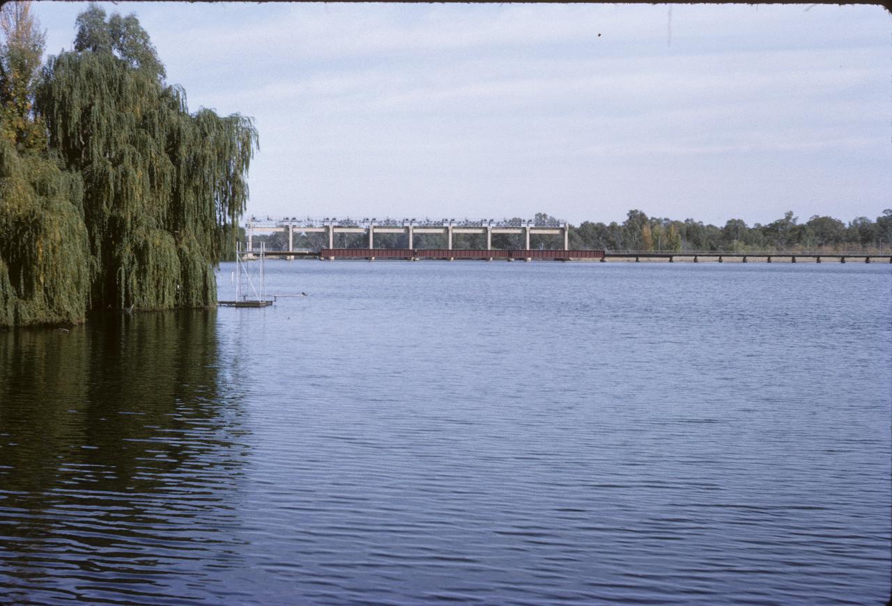
The Yarrawonga Weir and Lake Mulwala. Obviously had been a wet summer, given the full height of the water.
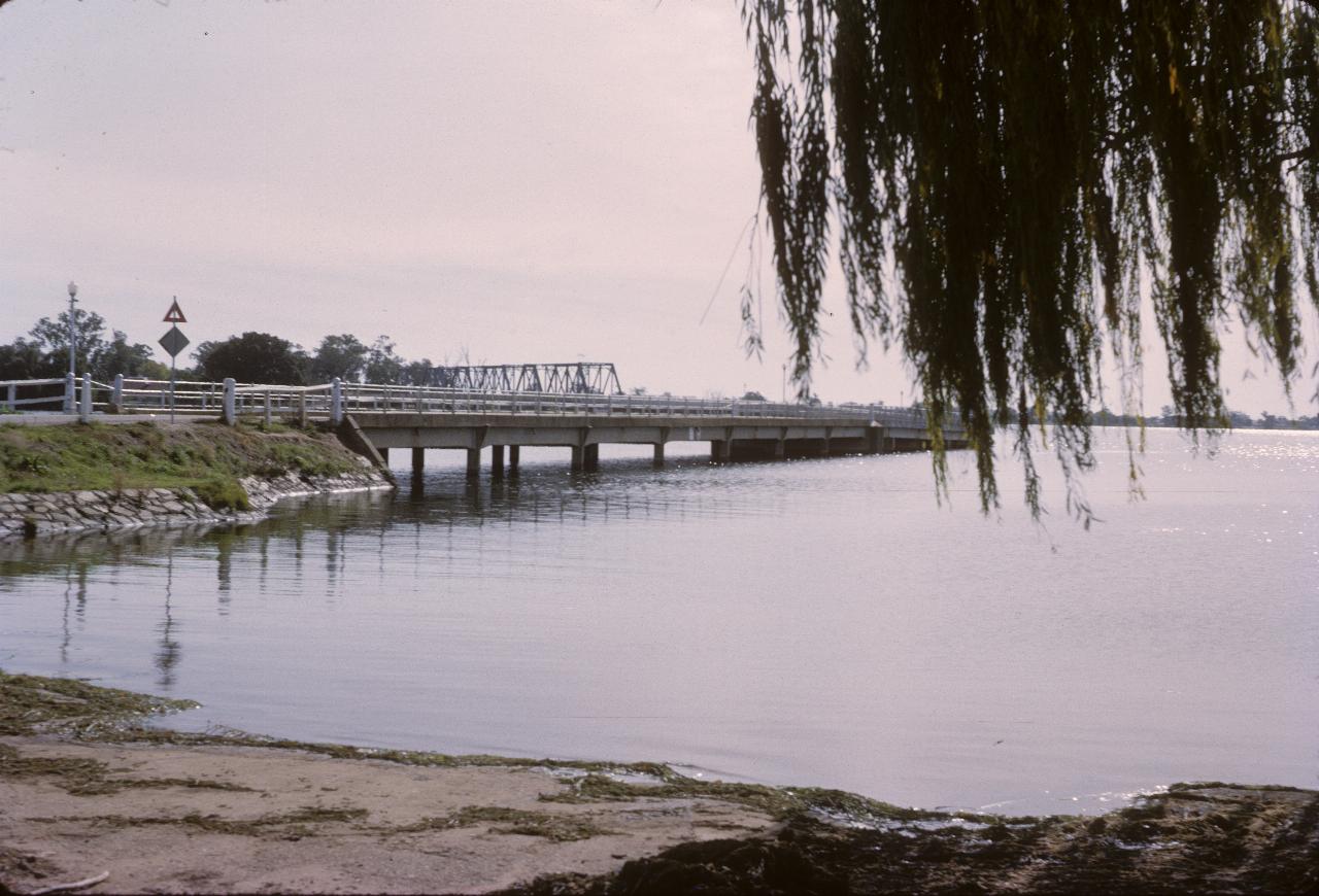
The bridge taking road traffic over the lake. Appears to be taken from on a boat launching ramp.
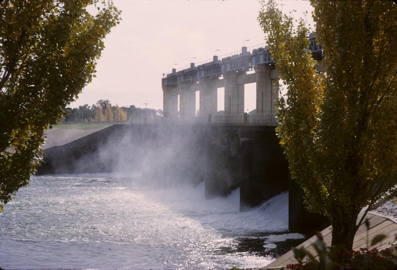
Yarrawonga Weir from the southern side; autumn is in the air, judging from the yellow leaves on the poplar trees.
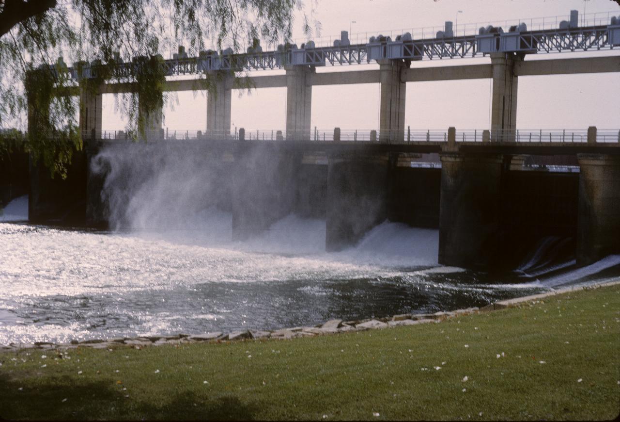
Another view of the same weir, but a little further downstream.
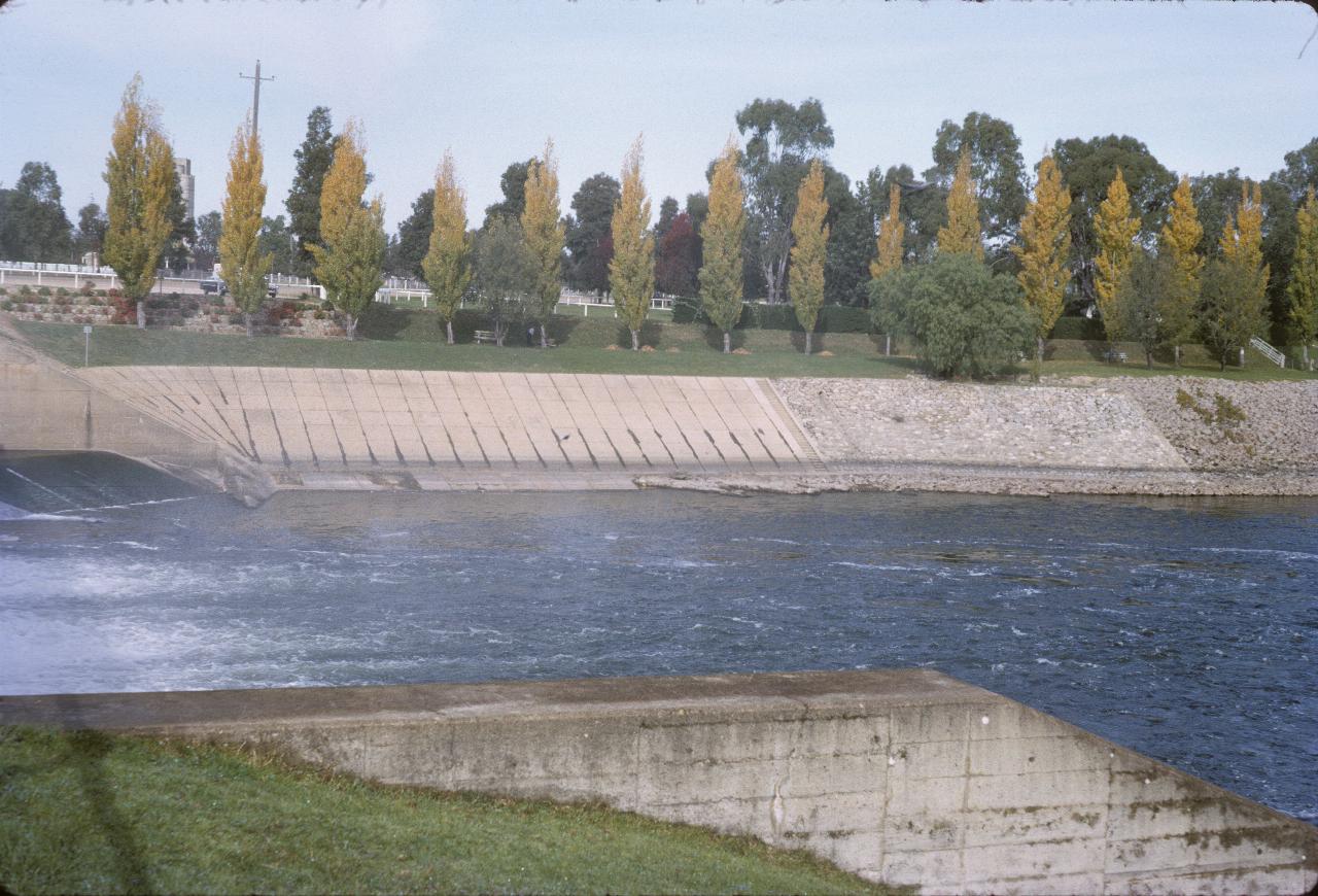
Looking from the north side across the outflow from the weir.