Jindabyne
Click on an image to see a larger version
The plans for day 2 were "fluid". If the weather was turning to rain
(which has been a theme for this year), the destination would be home.
If dry/clear weather was the go, it would be Jindabyne and back to
Canberra. The main reason for Jindabyne was the first release of water
from Lkae Jindabyne in the 40 years since the dam was built. This
dam is on the Snowy River, which has been a trickle since then. While
expected to be a regular event, this was the first time, and it would
be interesting to see.
The day dawned clear, so Jindabyne was the destination.
At Cooma, there were bikes, and bikers, all over the place. Hmmm,
must be some event, but the Snowy Ride is held early in the
new year. I followed a couple of groups out of town, and when we
stopped for roadworks, found out they were headed to Philip Island,
for the MotoGP event on the weekend. Well, yes, that would explain it.
By Jindabyne, it was time for lunch. I found a take away place for
nourishment, and could not but help think of the time, many years
ago, when the "new" Jindabyne was being built about 1966.
The old one is now well concealed under the lake.
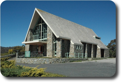 St. Columbkille Catholic Church
in Jindabyne. Clearly a church designed for the snow which falls
in this area.
Saint Columbkille
is one of the three great saints of Ireland, and was the first missionary
to Scotland. He was born in Donegal in 521. The foundation stone
was laid in 1928 (at an older church down in the (now flooded) valley);
hence the saint was not chosen as a consequence of the migrant
influx while building the Snowy Mountains scheme.
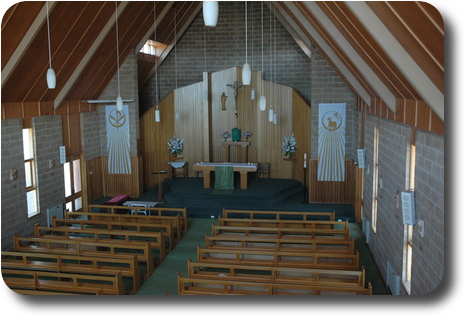 The body of the church, as seen from the choir loft. The beautiful
wood is a nice contrast to the stone walls.
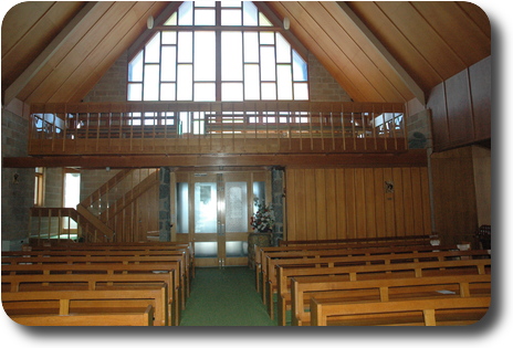 The pastor's view of the church, with the choir loft below the stained
glass window, which sadly is somewhat washed out.
The Water
 |
 |
|
October 2011 |
May 2007 |
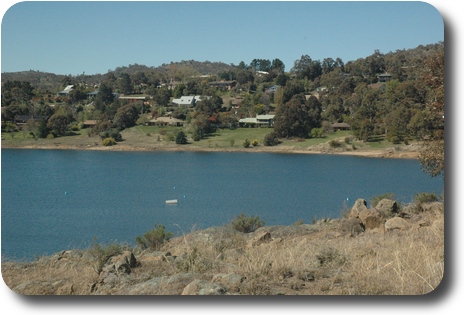
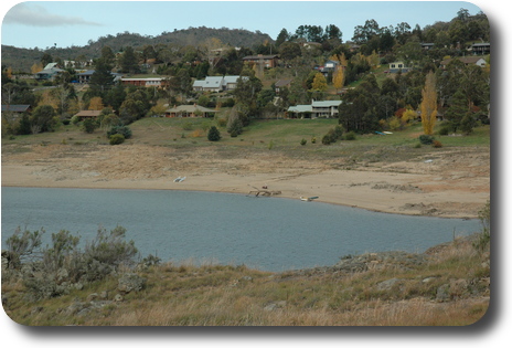
These two photos were taken at about the same location at East Jindabyne,
but four and a half years apart. The left at the end of a wet
winter, the right after a number of years of drought. The difference
is amazing. Some of the difference
is
due to the different time of year, as May is close to low water time,
being just before winter. But the drought also had a major impact.
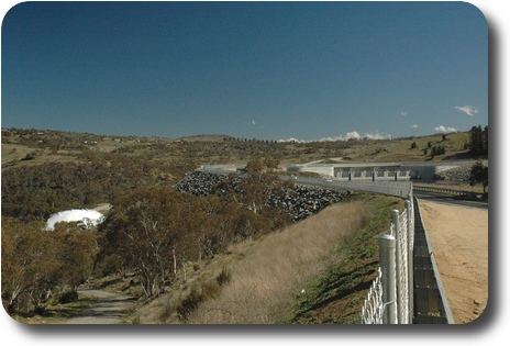 This photo was taken from the eastern side of Jindabyne Dam, which is
visible on the right hand side. The outlet at the top of the wall was
not open, but the plume of water on the left shows the water coming
out from a low level outlet. There was a road down to a viewing area
on the other side, but I chose not to continue, as it was rather steep,
and in poor condition, and I was a long way from home. When taking
this photo, I spoke to another photographer, who said he worked on
the dam. He also said the view from the other side wasn't very good
either. Only the "important" people were allowed closer.
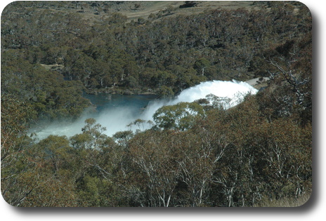 The water returning life to the moribund Snowy River.
 St. Columbkille Catholic Church
in Jindabyne. Clearly a church designed for the snow which falls
in this area.
Saint Columbkille
is one of the three great saints of Ireland, and was the first missionary
to Scotland. He was born in Donegal in 521. The foundation stone
was laid in 1928 (at an older church down in the (now flooded) valley);
hence the saint was not chosen as a consequence of the migrant
influx while building the Snowy Mountains scheme.


