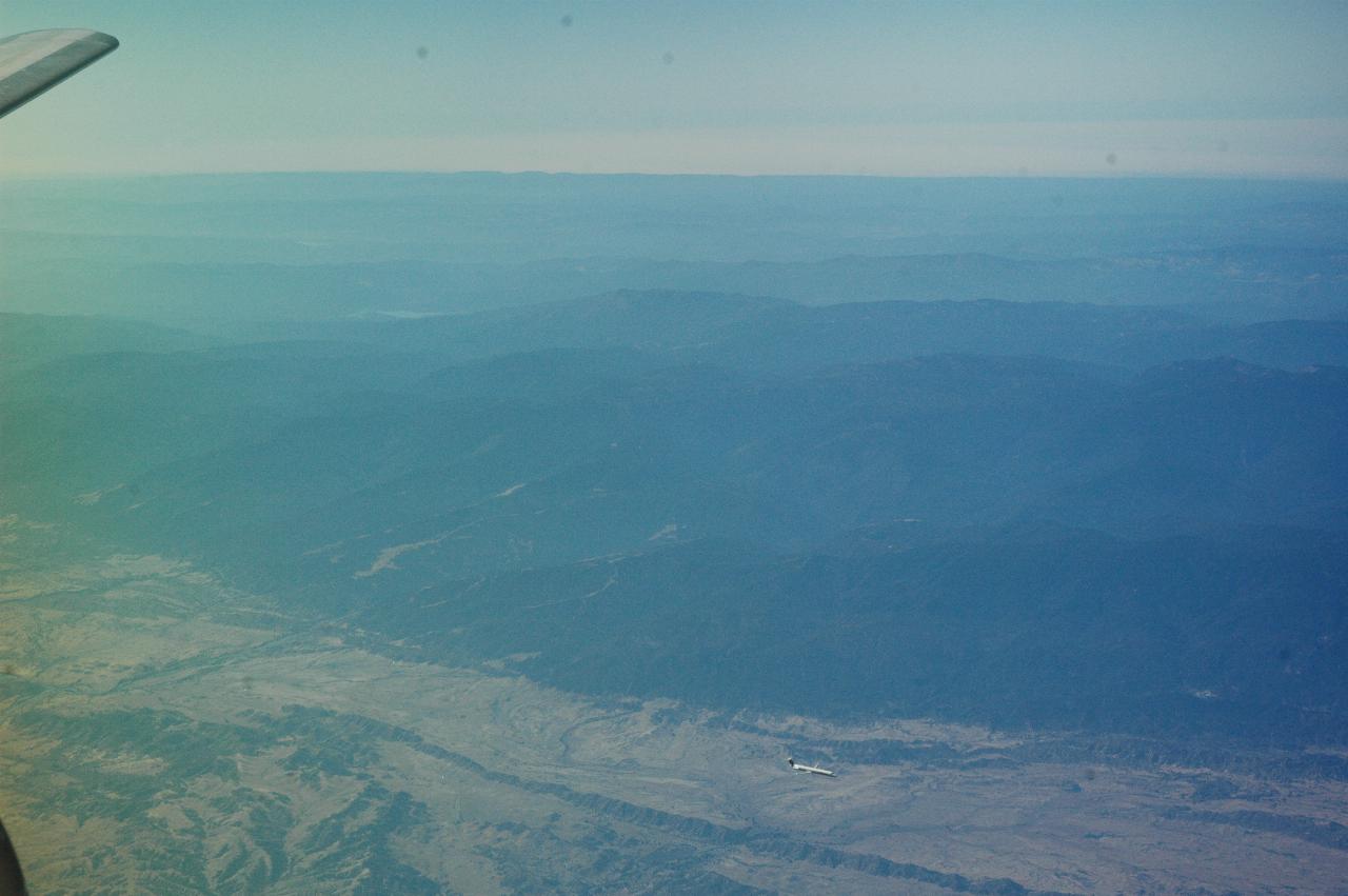

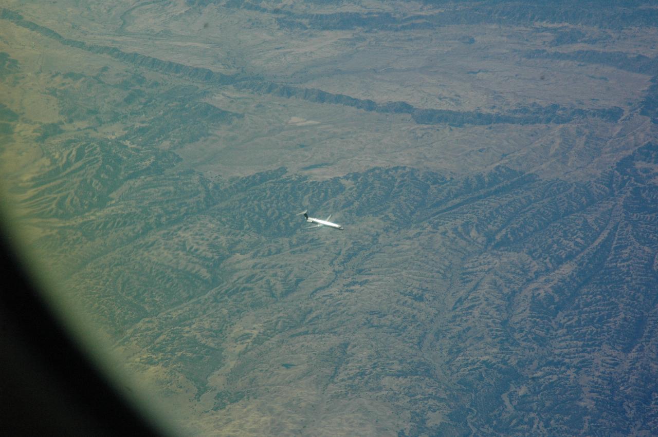
Nearing Redding, I looked out the window and saw a plane below descending, presumably to land at Redding. The left hand image shows part of the Central Valley and Coastal Range, looking out towards the Pacific Ocean, which is covered by fog, as it often is this time of year. The plane looks to be belong to US Airways.
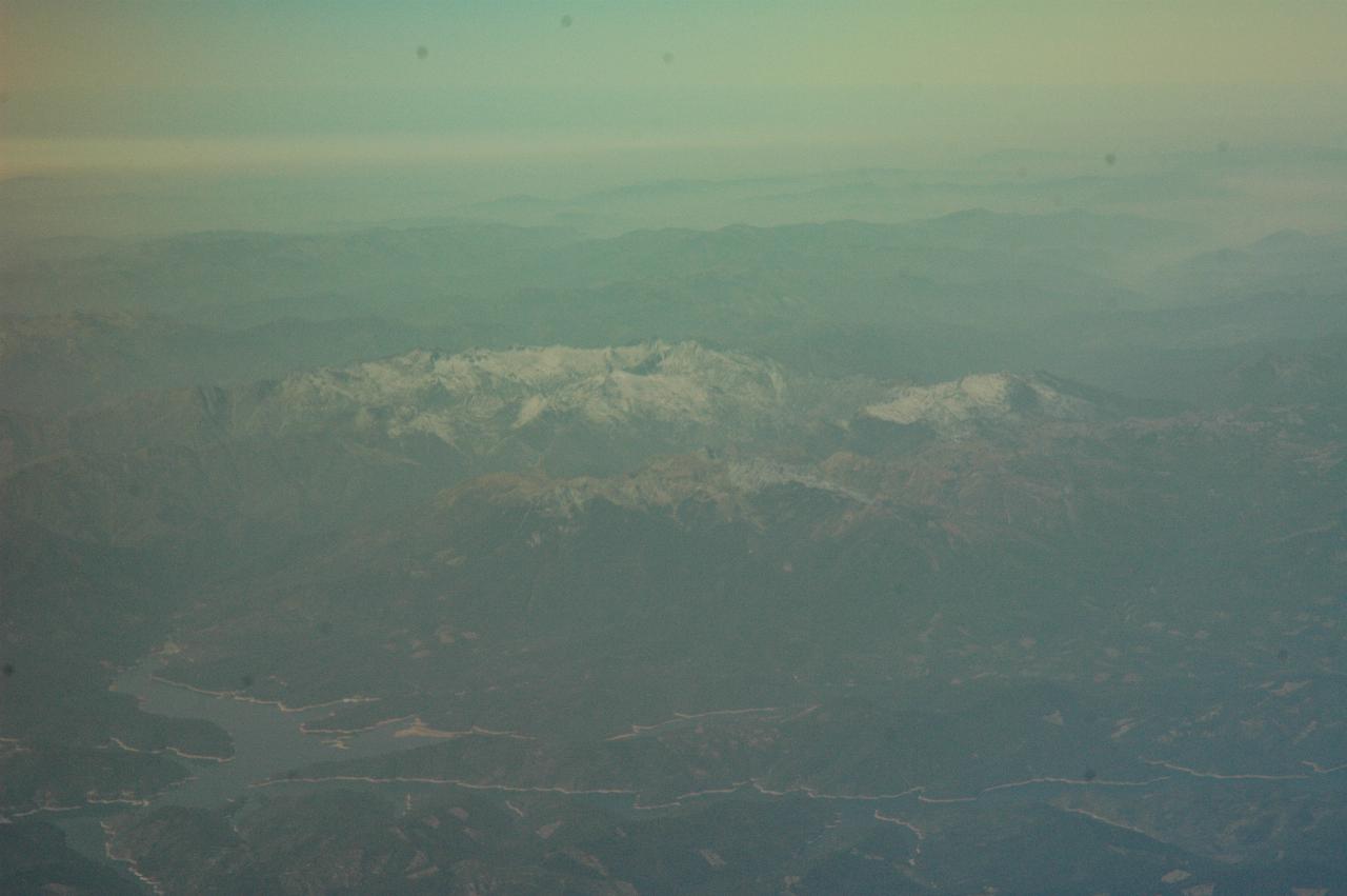
Not really sure what this is - I suspect Lewiston Lake behind Trinity Dam in the bottom, which would make the peaks Mt Hilton (left) and Packers Peak. But the water could be Shasta Lake!
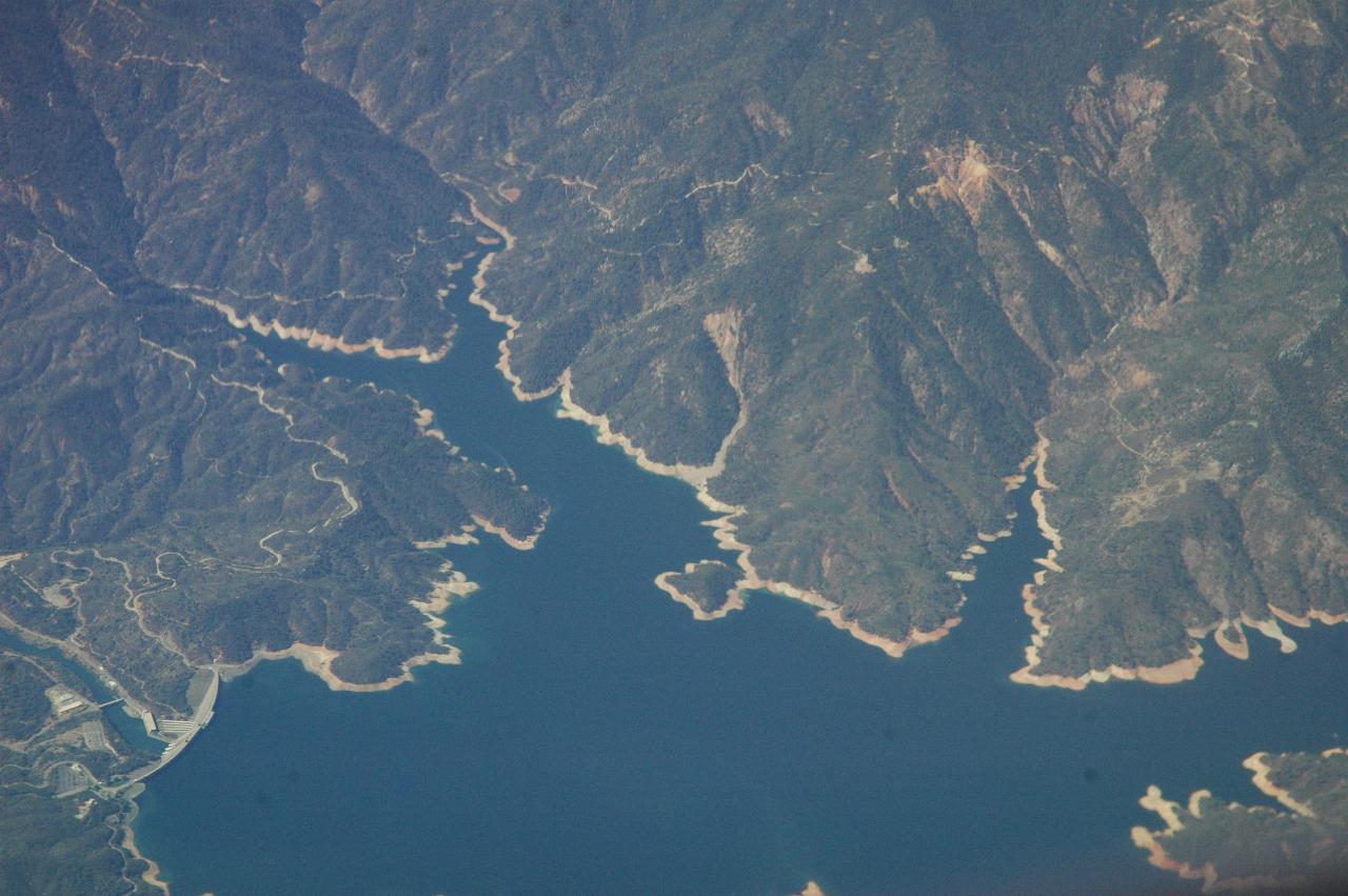
No question about this one - this is Shasta Dam (lower left) and Shasta Lake. Interstate 5 crosses over this lake somewhere to the right. The only enjoyable part of I-5 is north from Redding to a little past Medford.
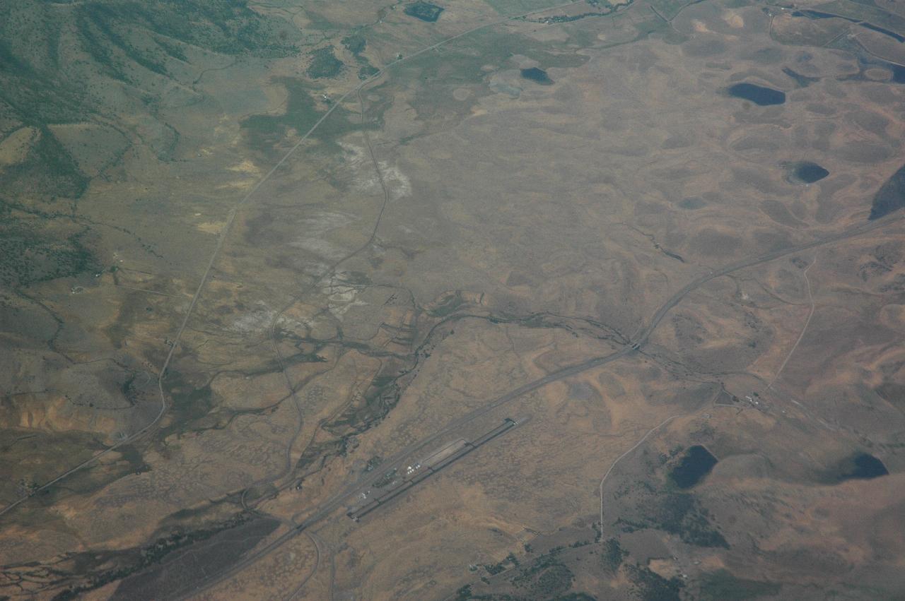
Weed Airport and Rest Stop. I-5 is the two adjacent ribbons
from bottom left to mid right, above the runway. The
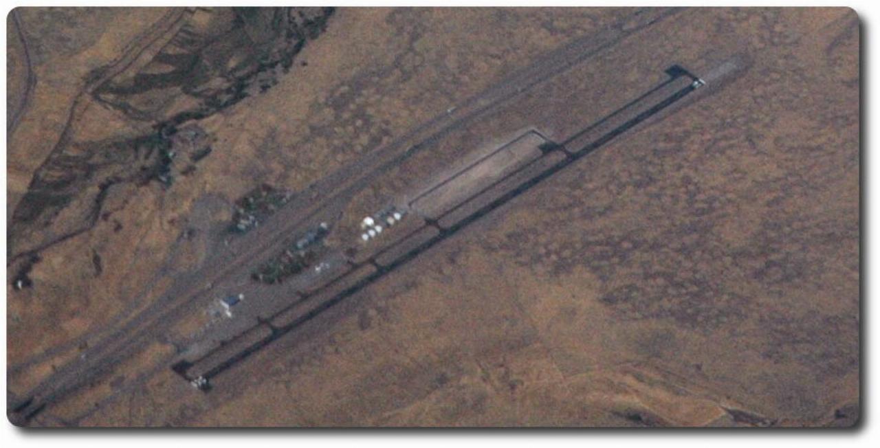
shows the rest area in some detail. I stopped there on the way down, to photograph Mts. Shasta and Shastina.
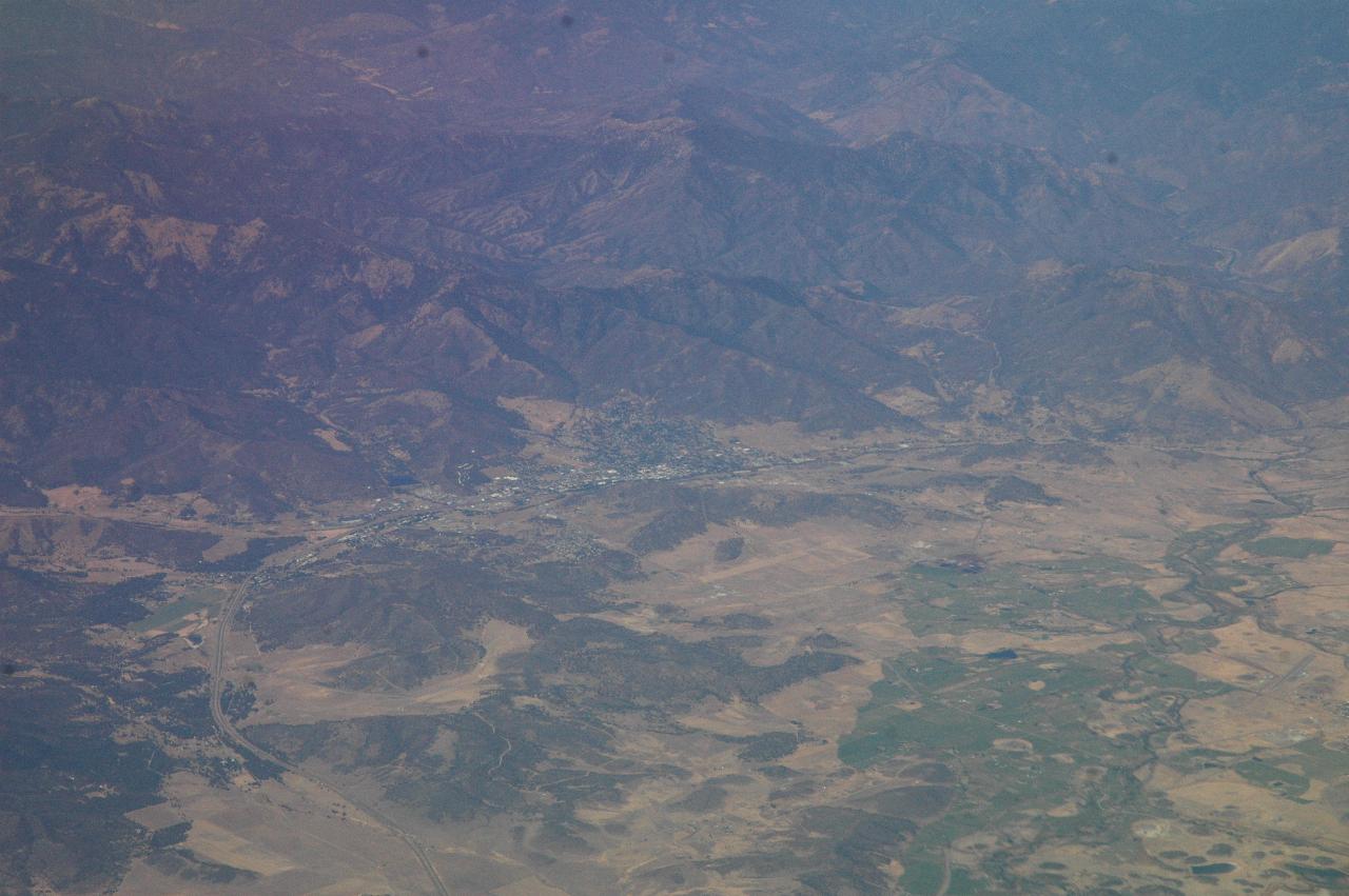
This, I believe, is Yreka, the northern most town on I-5 in California, and the place I have stayed several times.
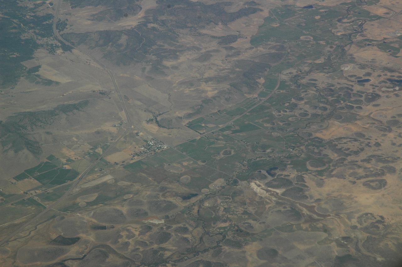
I'm not really sure where this is - possibly Grenada, which is just a little south of Yreka. It's mostly the curious little, round hills that I thought worth a photograph. I-5 wanders through the left hand side of the image, from top to bottom.
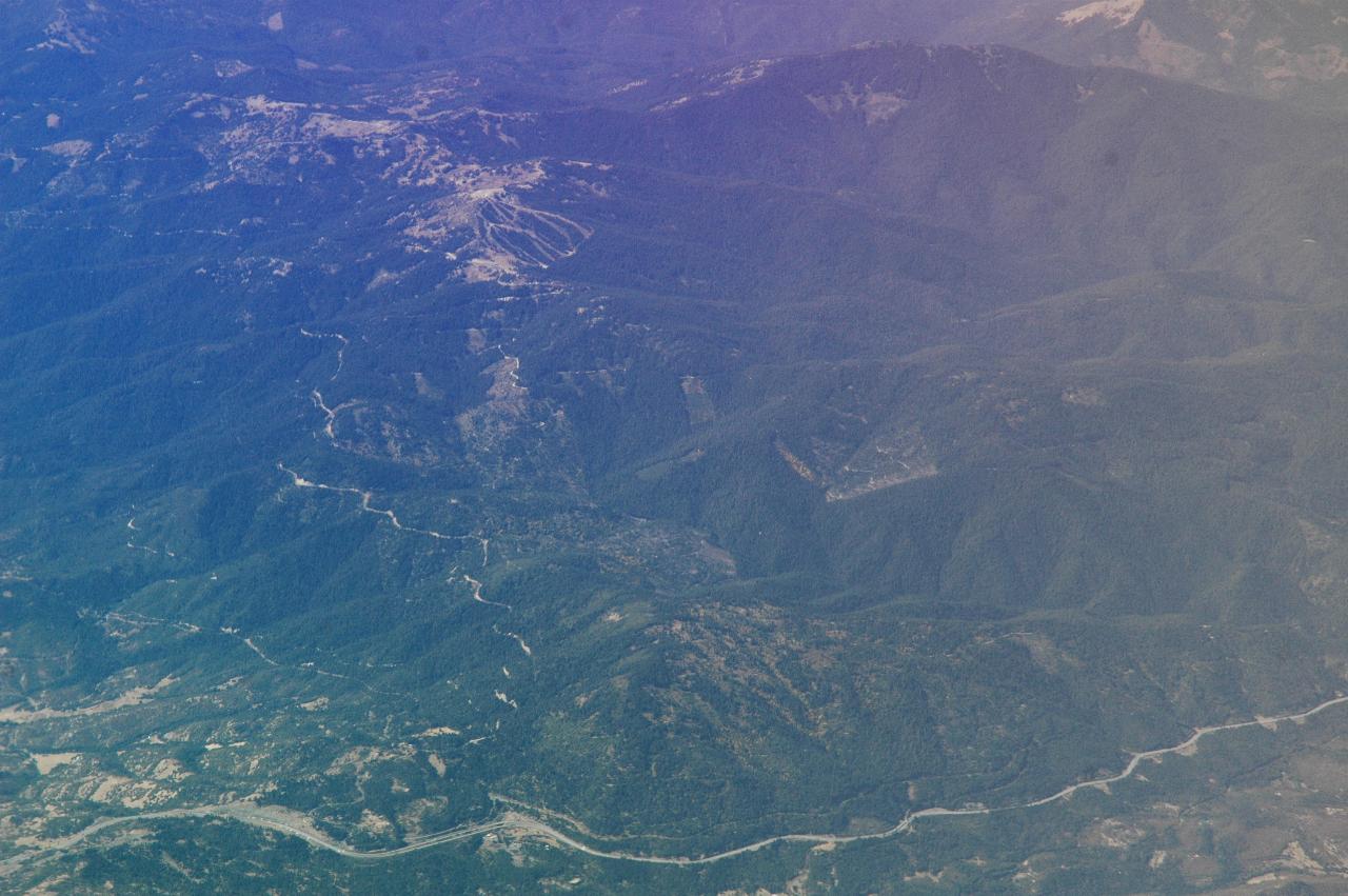
Mt. Ashland - just ignore the red colouring on the right! I-5, which climbs up to 4,310 feet (1300m) about this point. You can also see some of the ski runs on Mt. Ashland, and the road up to there from I-5 which Marilyn, Jymmi and I rode just 2 days ago.
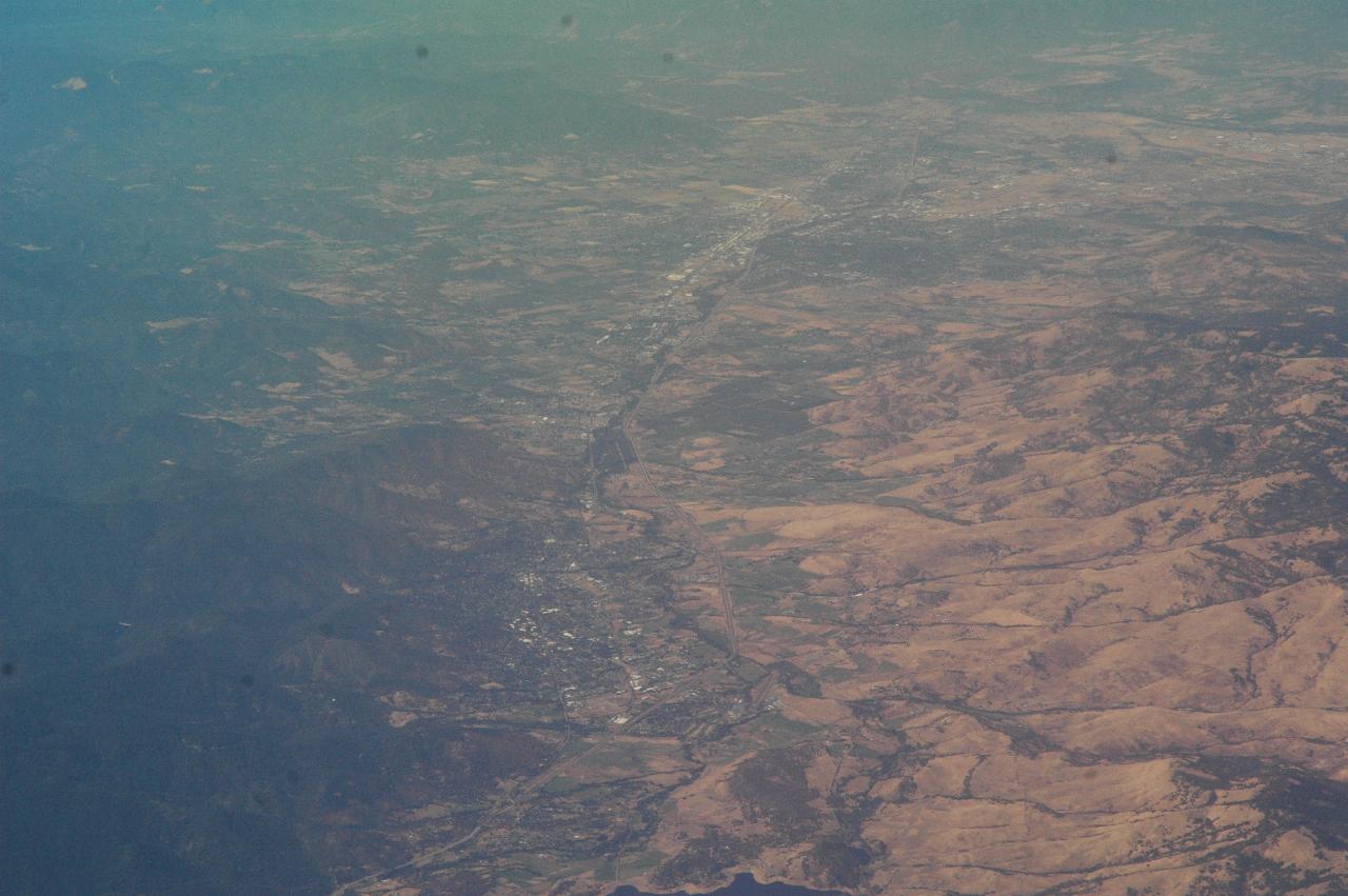
Looking north along I-5 from about the California/Oregon border. Ashland is the city at the bottom, and Medford the one at the top. Talent is almost north Ashland.
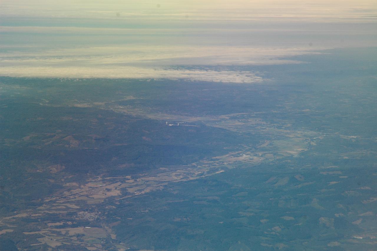
Well and truly into Washington now, this view looks west along the
Chehalis River towards Hoquiam and Aberdeen. The
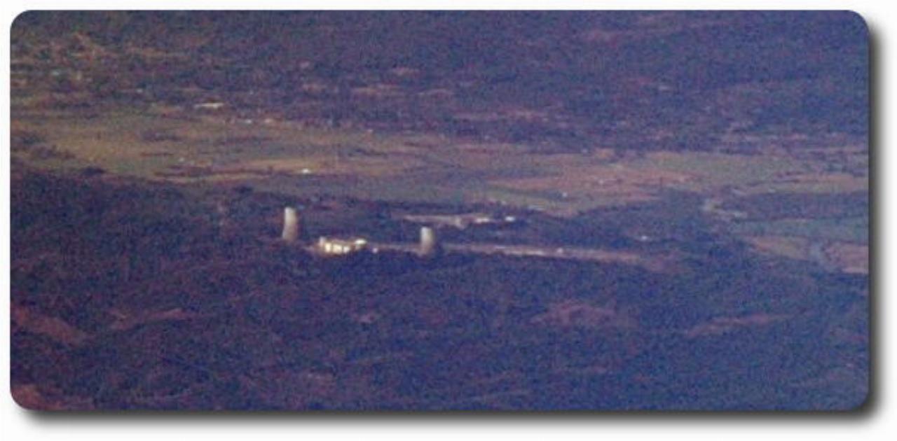
about mid image is the abandoned Satsop nuclear power station. Construction was stopped long before completion due to cost escalation.