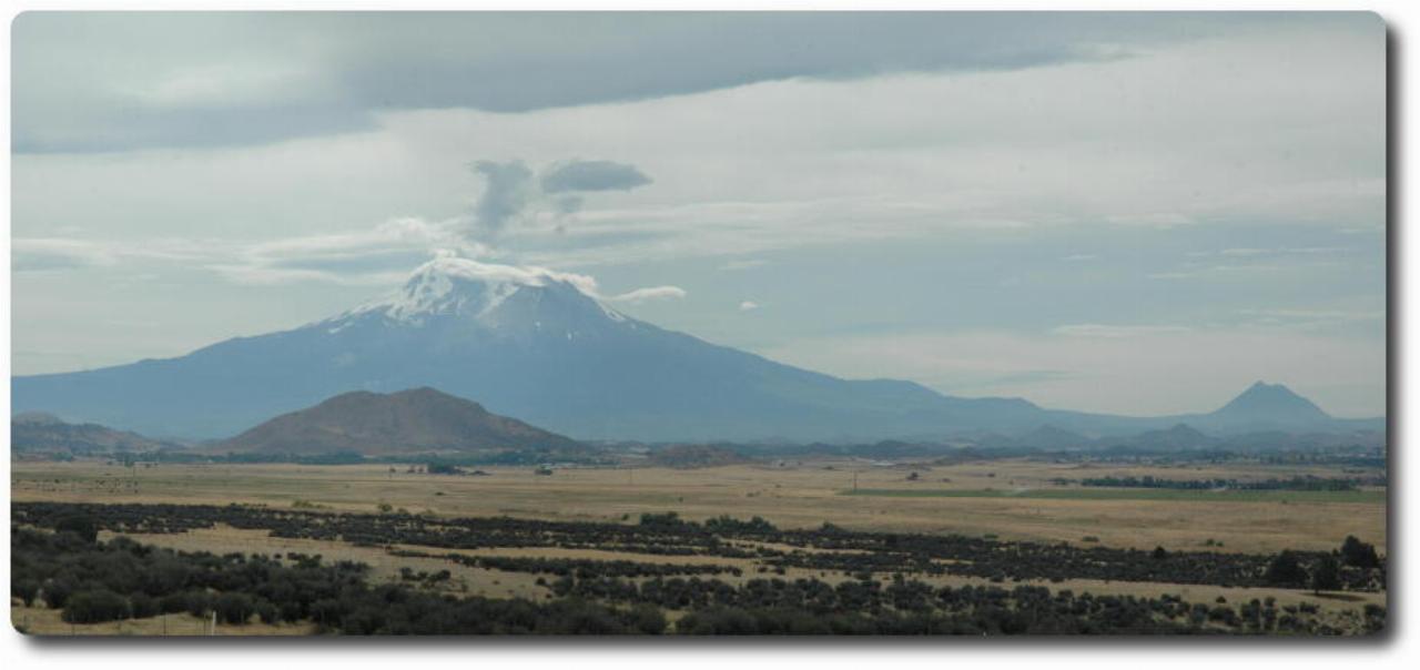
The road over the Siskiyou Mountains is quite enjoyable, and a very pleasant ride. The Oregon/California border is on the way down on the southern side. And at the bottom of the hill is a viewpoint which overlooks Mt. Shasta.

A panorama view of Mt. Shasta and Mt. Shastina (right). Both are volcanic peaks. On my previous ride down here, I was on the road quite early, and had the pleasure of seeing the sun's rays shining around Mt. Shasta. Nothing like that on this day, though!
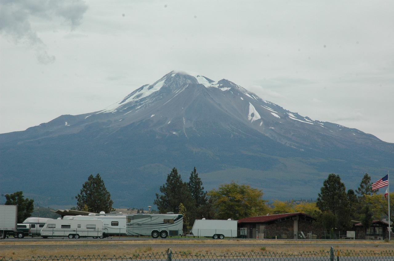
A closer view of Mt. Shasta, as seen from the Weed Airport! Yes, there is a town in northern California called Weed. It's south of Yreka.
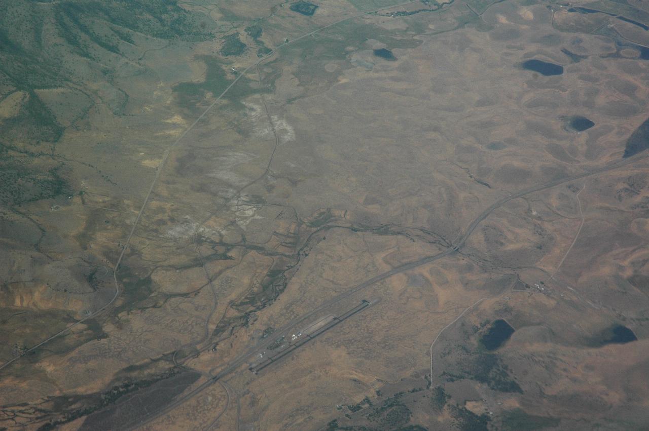
This is an aerial view of this area, as taken from the plane on the way home on this trip.
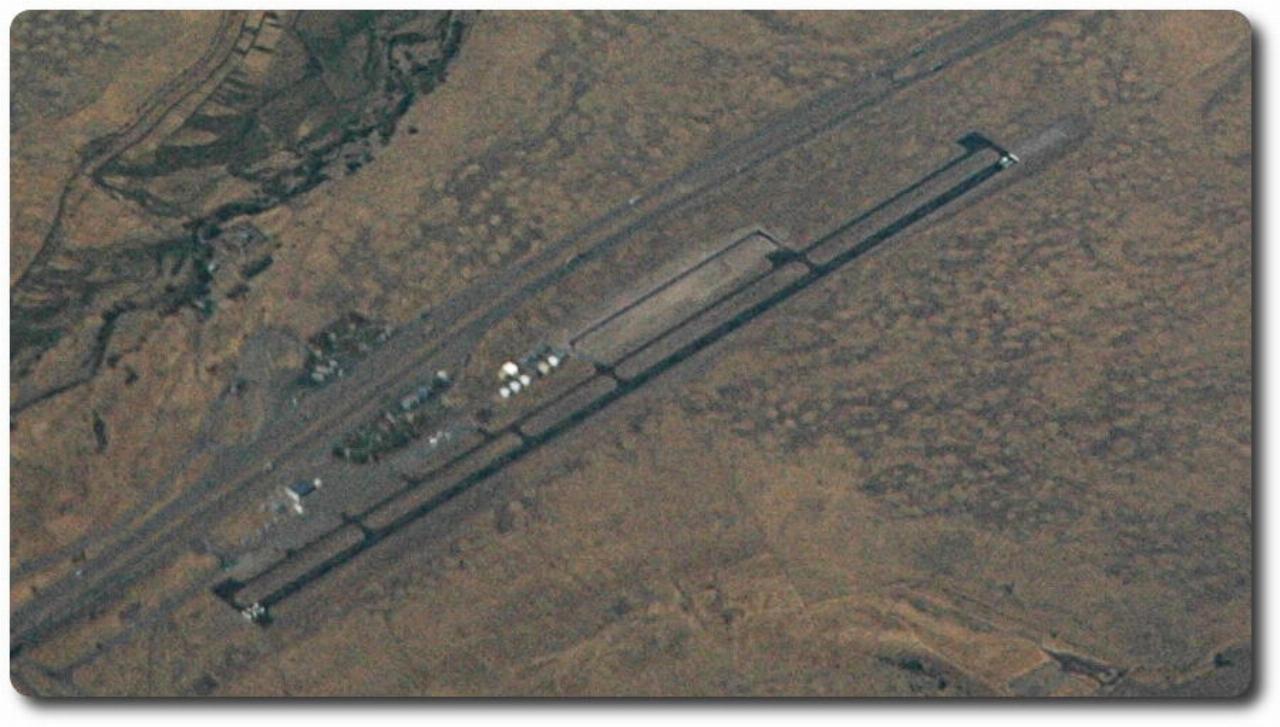
This shows the airport and the rest areas - the green spots on each side of the freeway.
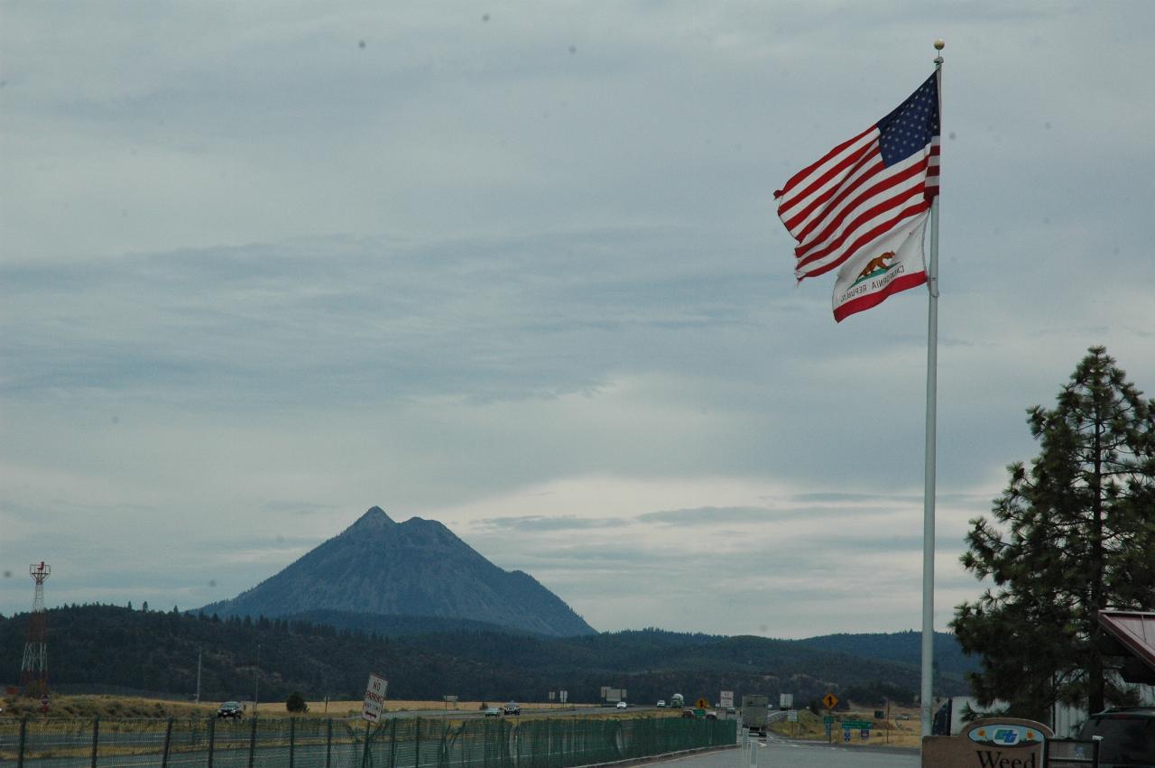
Mt. Shastina from the Weed Airport rest area.
From there it was a case of joining the freeway and following the GPS receiver. Not that the route is difficult to follow - there's a bypass around Sacramento, and then down the east side of San Francisco Bay and around towards San Jose. And I am becoming familiar with that section of the journey too.

Finally made it to Jeffrey's home!
We headed off to Alexander's for a steak dinner. It was rather expensive, and I don't think either of us thought it was worth the cost. However, it was an enjoyable meal, and allowed us to catch up on events.