The next morning we set off from Hope along BC Highway 3, which actually goes all the way to Alberta. We were not going quite that far, in fact only as far as Osoyoos, where we turn south and cross the border back into Washington.
The highway from Hope is another spectacular piece of road, with a number of mountain passes, the highest of which was about 4,300 feet! No wonder it was cold and snowy. But beautiful. Once through Princeton, the country flattens out somewhat, as we have entered the Okanagon Valley.
After crossing the border, we followed Highway 97 to Omak, then took the road to Grand Coulee Dam.
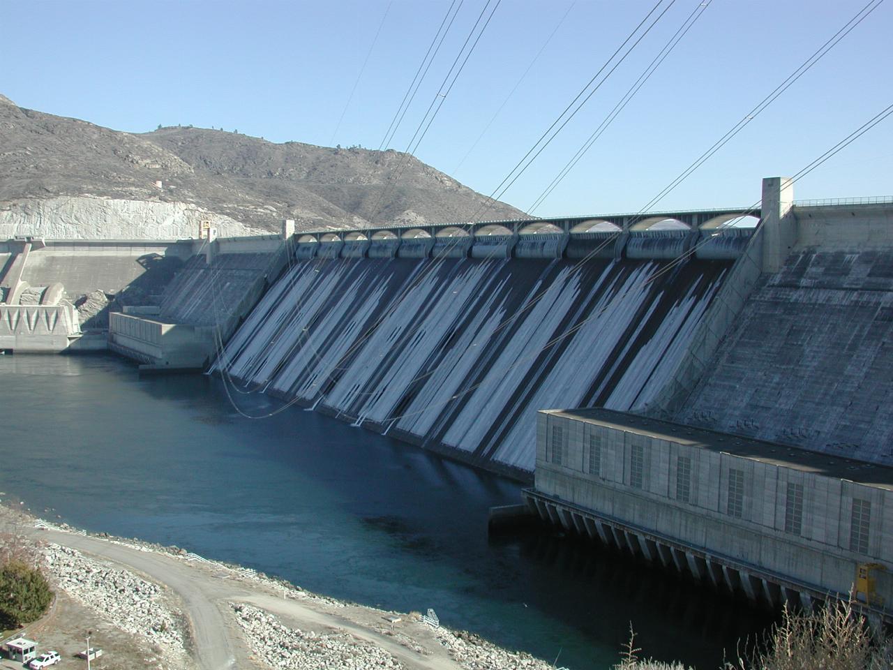
I've never been to Grand Coulee Dam at this of the year. And was suprised to see ice on the spillway! That's what the white "streaks" are on the front of the dam. This is a BIG dam, and it's hard to get a sense of scale. However, in the lower left corner of this photo is a car!

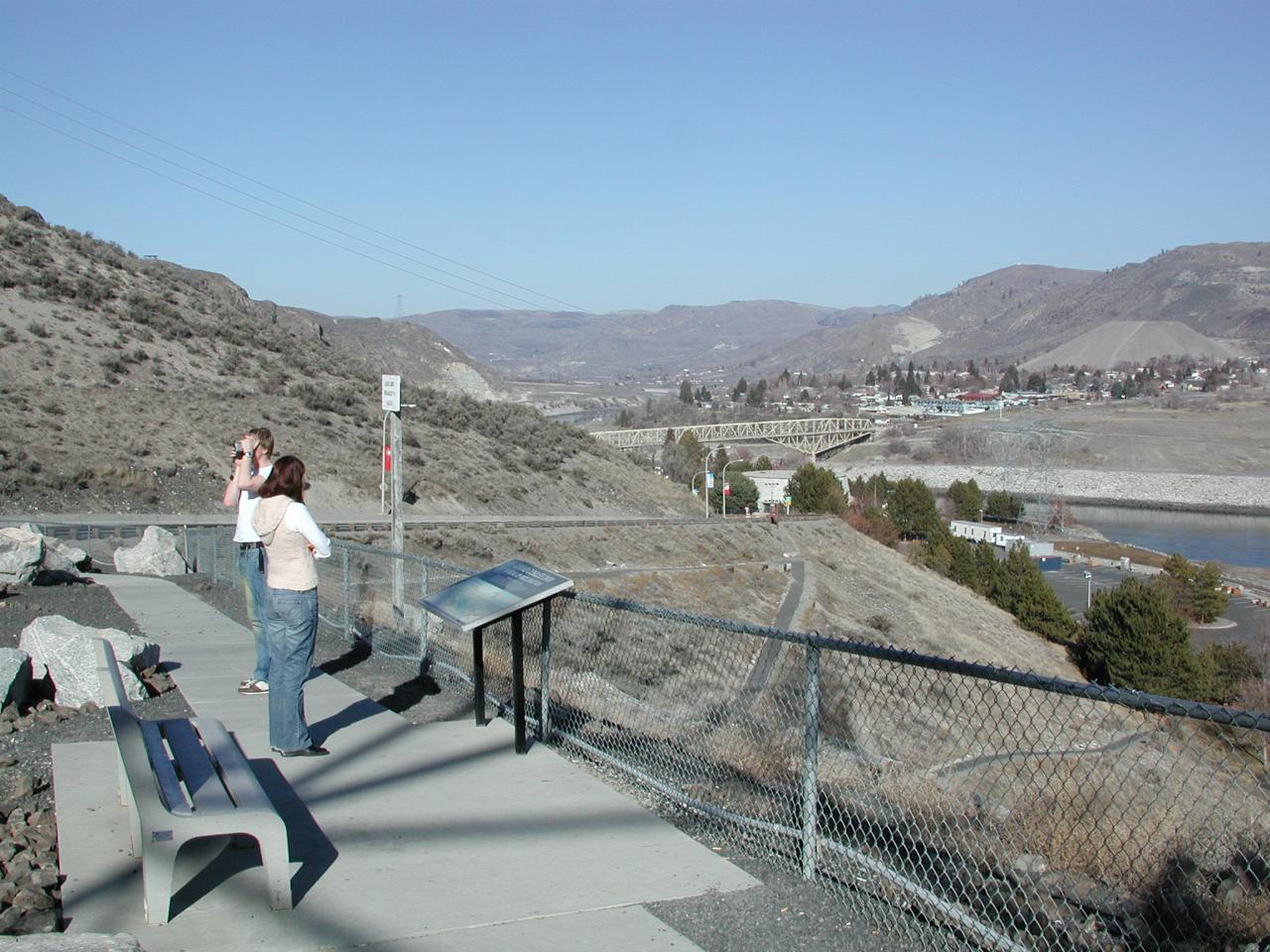
Looking down the Columbia River, over the township of Coulee Dam, with Keiran and Natalie taking in the view. The lighter coloured mound above the town (right hand side of image) is left over construction material from the dam.
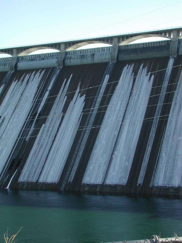
A view of the ice on the spillway, as seen from closer to the bottom of the dam wall.
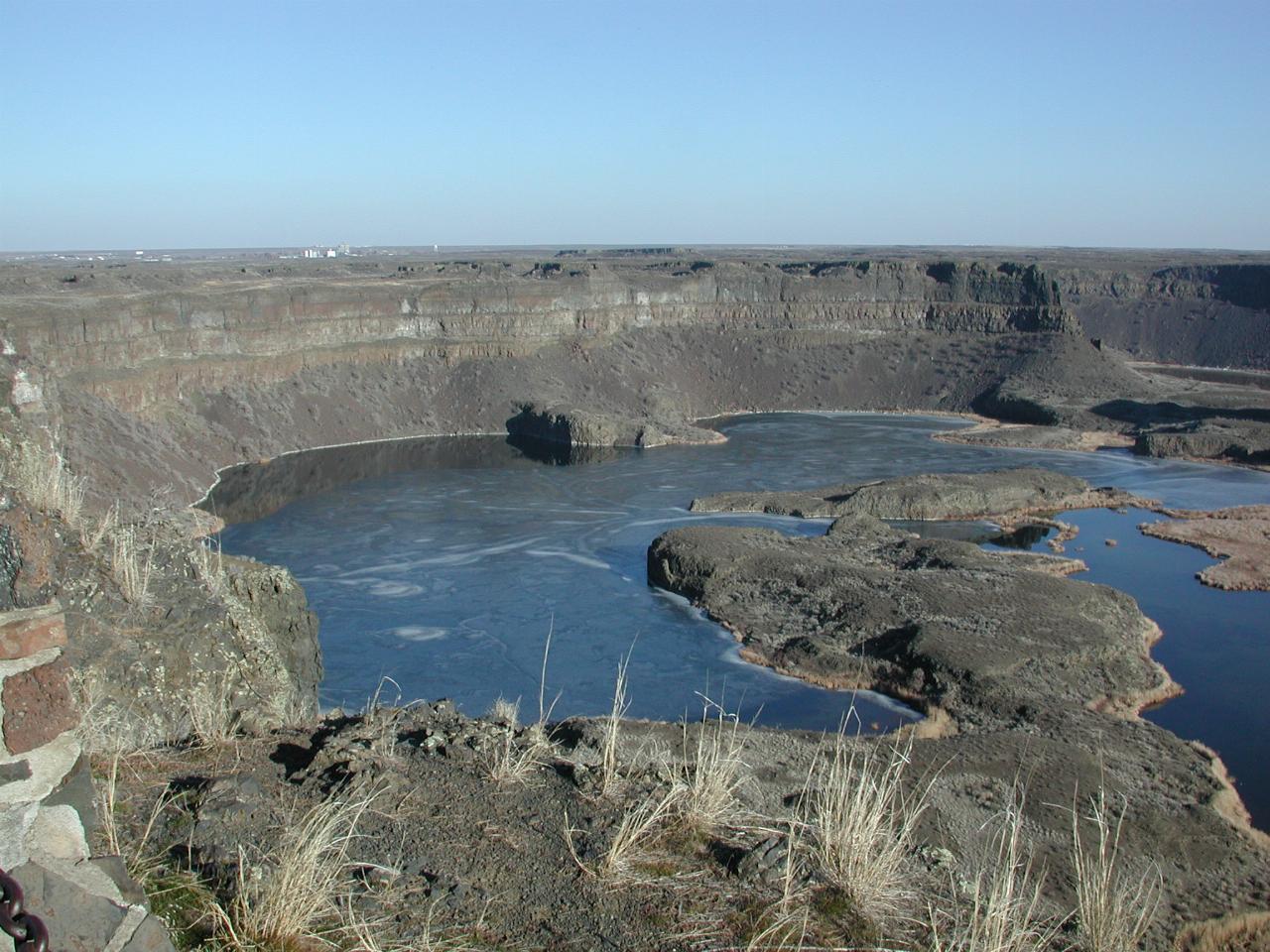
A view of Dry Falls. There's no sense of scale in this image, but the display board quotes a fall of 400 feet (120m) height, and 3.5 miles (5 km) around the top. The floodwaters, perhaps as deep as 300 feet (90m), chewed away 25 miles (40 km) from the plateau as they eroded the cliff face. The volume of water was more than that flowing in all the world's rivers today. And it lasted for a couple of weeks - each time! Note also the ice on top of the pool at the base.
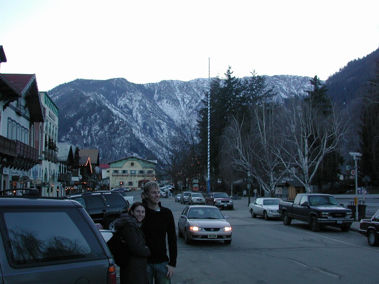
Nat and Keir on the main street, with a somewhat snowy mountain in the background.
We had a delightful dinner before heading for home, where we arrived about 8:30PM, after 2 days of quite pleasant travels around the north west.