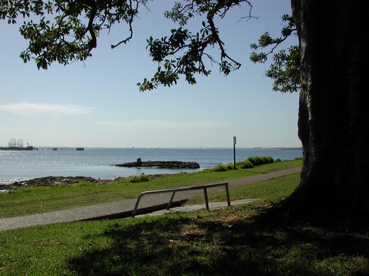
Leaving Port Botany the destination became Kurnell, just across from where the previous photos were taken. There are a number of changes made to the roads on parts of this journey, and so some of the old places I remember are difficult to get into. However, I arrived in one piece, parked the car and went for a walk into the park area.

The first point of interest was Cook's landing site, specifically the little bump on the rocks about mid image. There's a plaque underneath the tree, which reads:-
The Records of H.M.S. "Endeavour" point to this spot (where at one time a well existed, known as "Cook's Well" to the early settlers of Botany Bay) as the "Watering Place" frequently mentioned in Captain Cook's Journal, from which the following is an extract:-
"I sent a party of men ashore in the morning to the place where we first landed to dig holes in the sand, by which means and a small stream they found fresh water sufficient to water the ship."
NOTE - The stream is shown on Cook's Chart, and is that now crossed by the dam near the present cottage. It is apparent from the logs and other records that it was undiscovered when the Watering Place was formed.
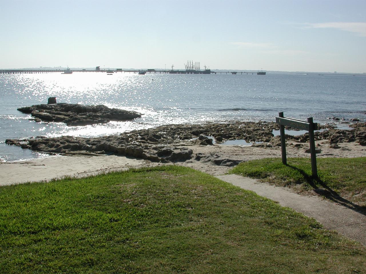
The rock whereupon the landing was made.
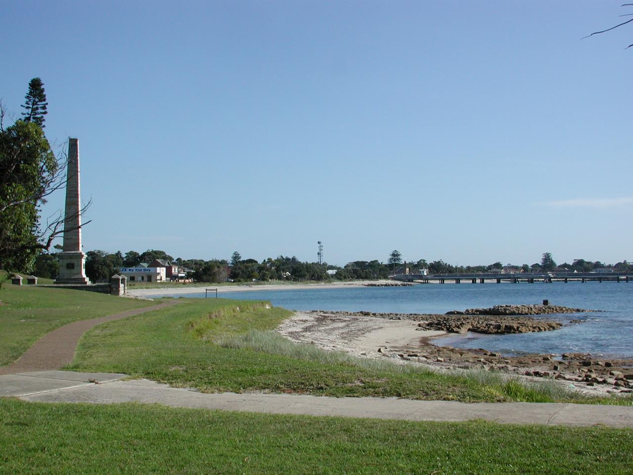
Looking back towards the Cook Obelisk, the landing cairn and the settlement of Kurnell.
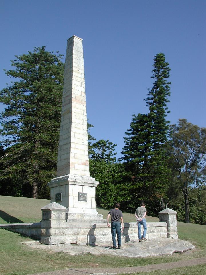
The Cook Obelisk has several plaques, the principal one containing the following:-
THE LANDING PLACE OF CAPTAIN COOK
April 28th, 1770
The following brief extracts relating to the Landing of Captain Cook and his party on the rock opposite this tablet are taken from the original MS Journal of Sir Joseph Banks, in the Mitchell Library, Sydney:
The Journal records that-
The natives reolutely disputed the landing, "although they were but two, and we thirty or forty at least."
Parleying with these two continued for about a quarter of an hour. "They remained resolute, so a musket was fired over them, the effect of which was that the youngest of the two dropped a bundle of lances on the rock ... He, however, snatched them up again and both renewed their threats and opposition. A musket loaded with small shot was now fired at the oldest of the two who was about 40 yards from the boat, it struck him on the legs but he minded it very little, so another was immediately fired at him, on this he ran up to the house about 100 yards distant and soon returned with a shield. In the meantime we had landed on the rock."
Several "lances" were immediately thrown and fell among the party. This caused two further discharges of small shot, when, after throwing another lance, the natives fled.
There's yet another plaque with another extract from Cook's Journal:-
Saturday 28th April, A.D 1770.
At daybreak we discovered a bay and anchored under the south shore, about two miles within the entrance, in six fathom water, the south point bearing S.E, and the north point East.
Latitude 34 S, Longitude 208 37' W.
And there's another to commemorate the 200th anniversary in 1970.
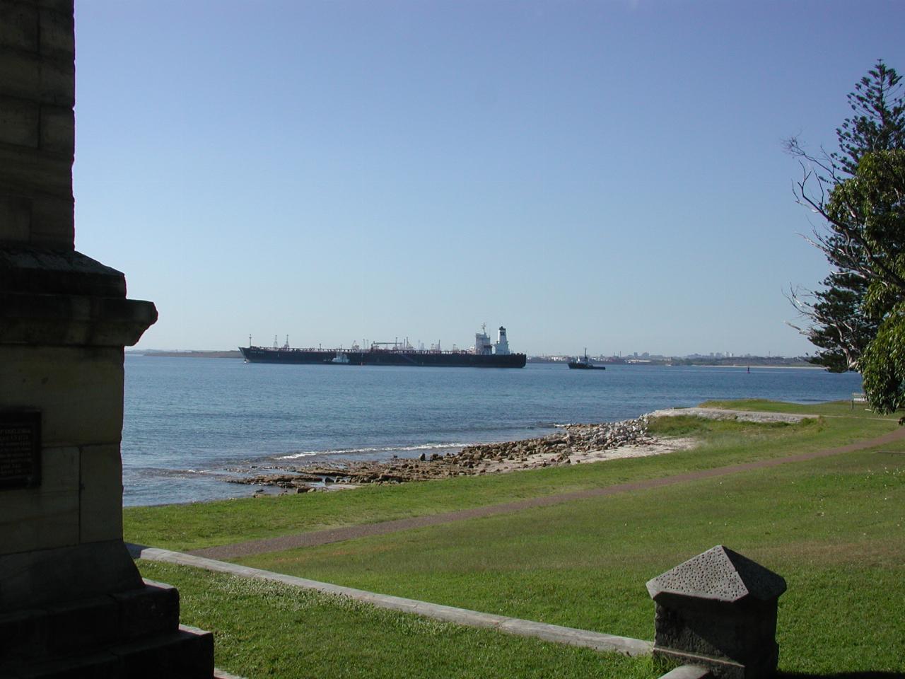
Looking from behind the obelisk as another tanker arrives for the oil refinery.