We then headed to Mount York on the western side of the Blue Mountains. Mt. York is located on the end of a finger of land, and was the route chosen to descend to the plains below by Cox when the first road was built in 1815. This followed the original route of Blaxland, Lawson and Wentworth.

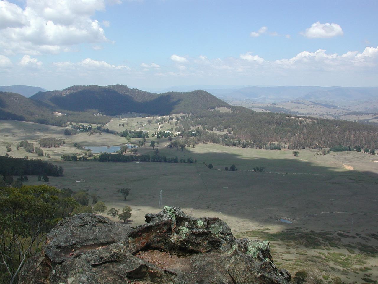
The board at Barden's Lookout describes this view thus:
From this lookout can be seen Mitchell's Victoria Pass of 1832. And below this, the line of Berghofer's Pass of 1912. Victoria Pass was brought back into use from 1920 onwards and is currently part of the Great Western Highway.
Victoria Pass is marked by the line of trees behind the reservoir to the left. Berghofer's Pass is not entirely clear to me, but perhaps follows the line of tress on this side of the reservoir.

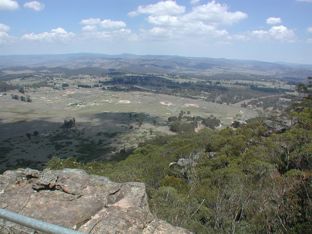
A wide angle view looking out towards the west.

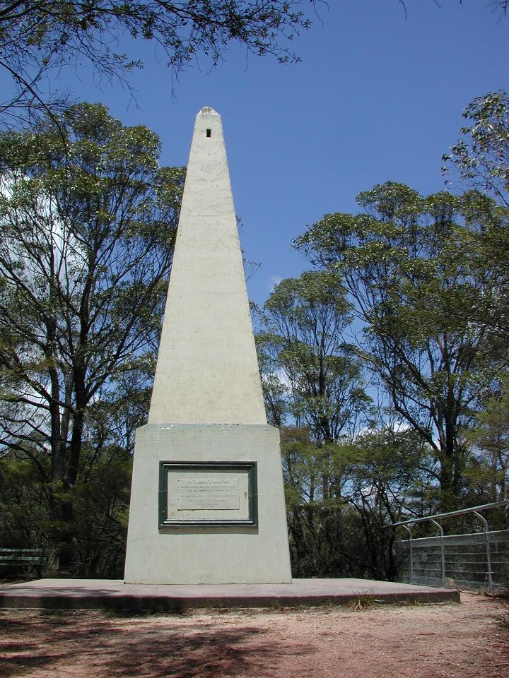
This obelisk, not exactly a shining example of elegant design, commemorates the first crossing of the Blue Mountains in 1813 by Blaxland, Lawson and Wentworth. It was erected by public subscription in 1900.

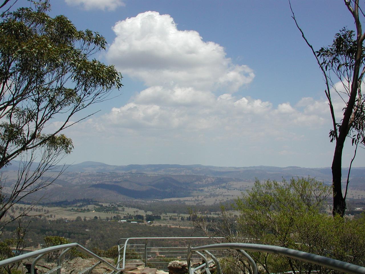
The view looking west from the obelisk.