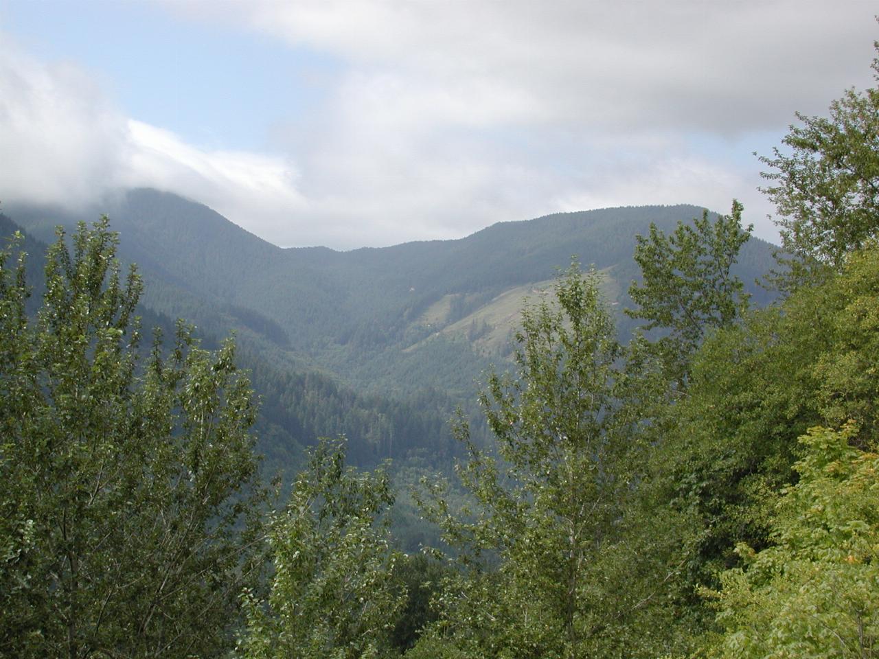
After leaving the new development, the route continued along the backroads until reaching Woodland, where SR 503 heads east along the Lewis River, eventually connecting to Forest Road (FR) 25 which heads around Mt. St. Helens. I had not been along this road before, and was pleasantly surprised. It travels through forests most of the way, with good curvy bits to entertain.

Looking over the river (way below!) towards some clear cut forest on the south bank. And notice also the blue sky is appearing as I entered the mountains!
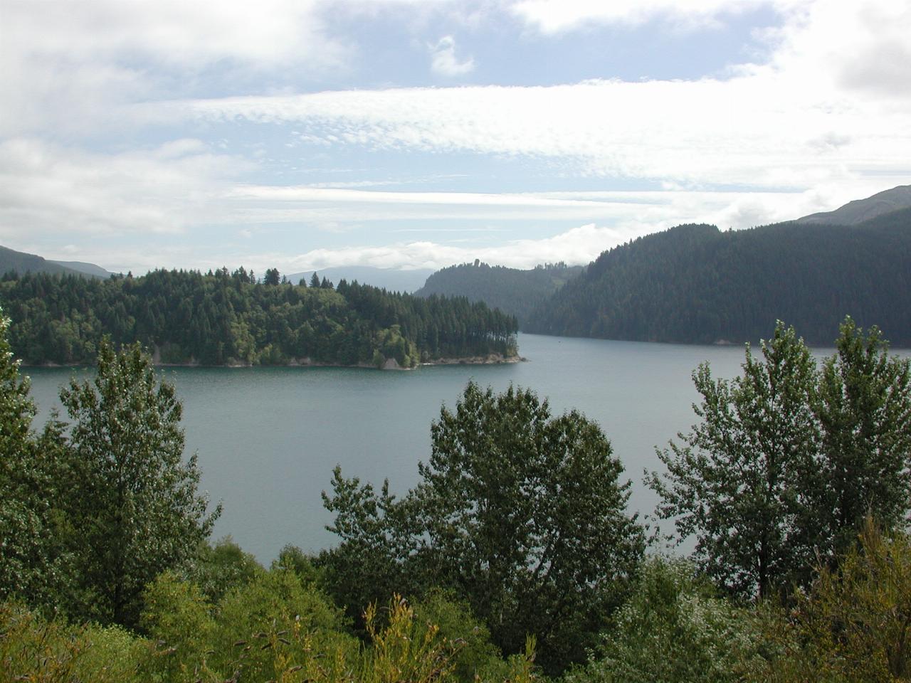
Swift Creek Reservoir, from the same location as the last photo. At the time of construction in 1958, this was among the tallest earthen wall dams in the world, at 512 feet (186m) high.
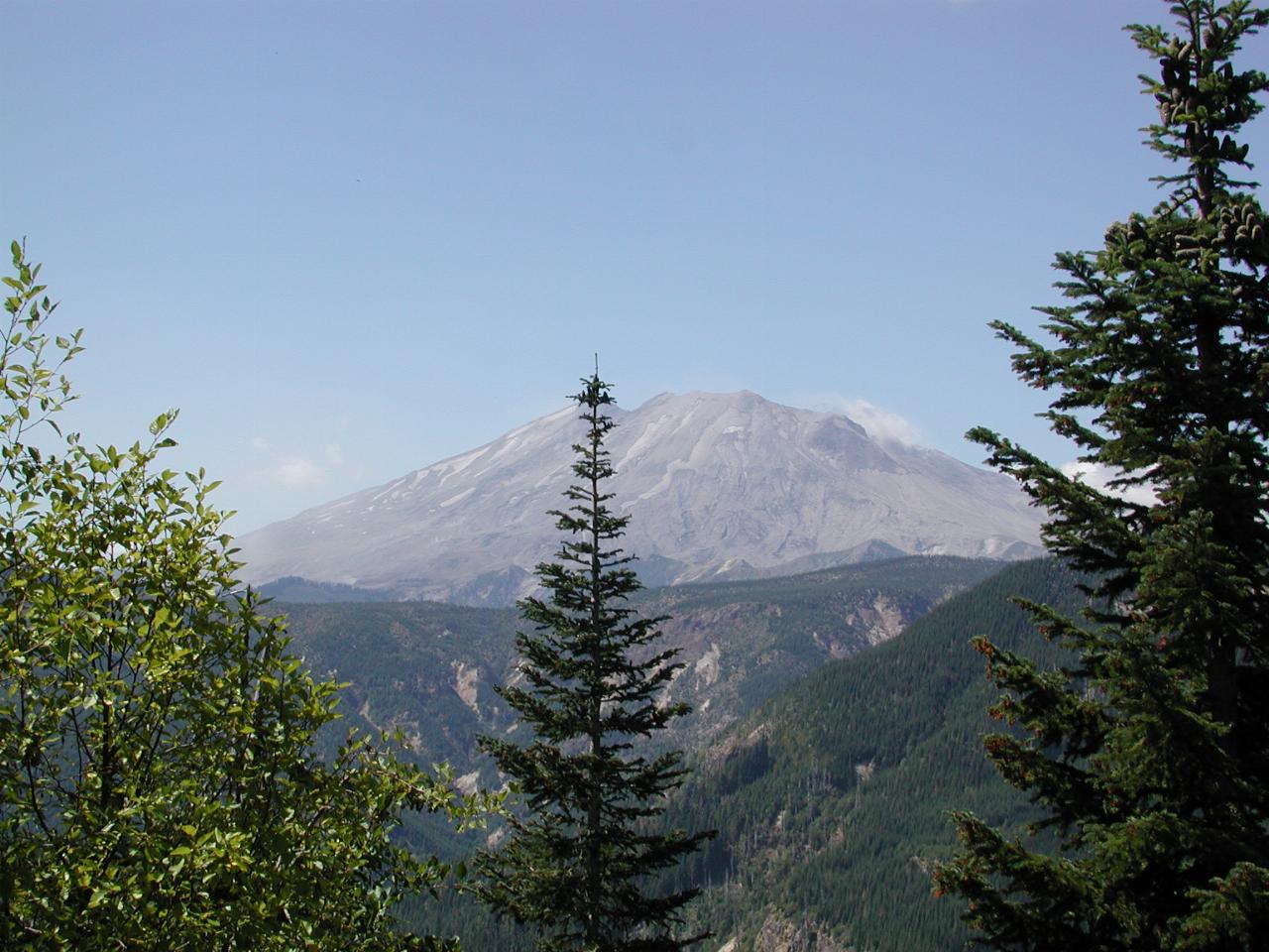
A late summer view of the mountain - snow has all gone, especially on the southern side, of course. Contrast the stark side of the mountain with the lush forest in the foreground.
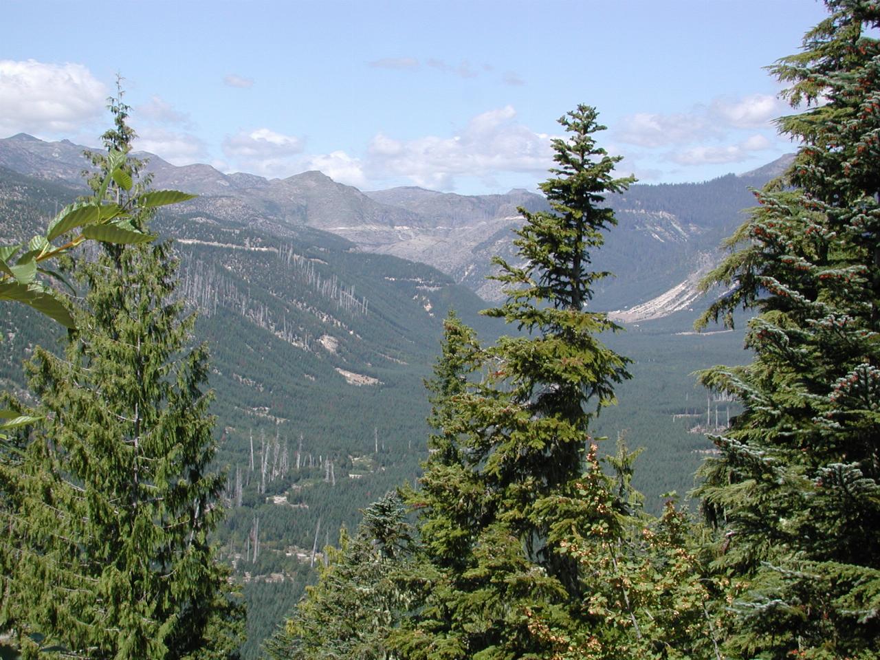
This valley was devestated by the blast, which knocked down all the trees. They were mostly recovered for use by lumber mills, and the valley quickly replanted. The view of the bottom shows the height of the new trees with the remaining trunks of the dead old trees. Also note that the scar along the mountain side in the background is the road to the Windy Ridge Visitor Centre.
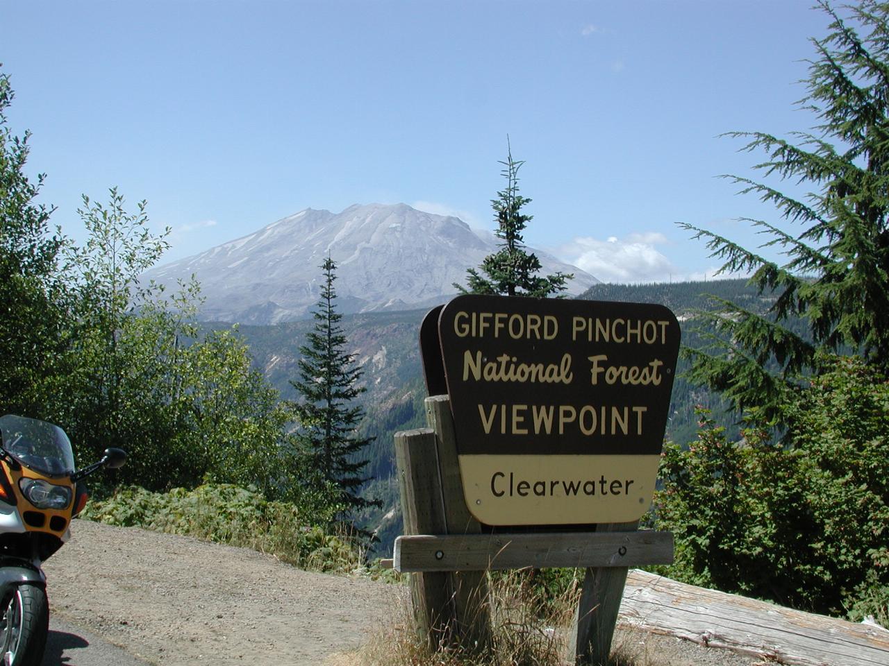
A glorious summer day at the Clearwater Viewpoint, although there's a little of the coastal cloud hanging around!
Two pleasant days, 750 miles. Life is good!