I rode to Edmonds to catch the ferry to Kingston. For efficiency reasons, WA ferries load motorcycles first or last. This is because bikes can be parked at either end of the boat where cars will not fit. After arriving in Kingston, under glorious sunny skies, it was off over the Hood Canal Bridge to Sequim, Port Angeles, past Crescent Lake and on to Forks. The trip around Lake Crescent was spoiled by being stuck behind a slow moving pair of cars, neither of which had any idea of pulling over to let other traffic past. Sigh.
After Forks I took a detour inland past a prison, following a route suggested in Destination Highways, Washington and indicated there as DH43. It was a pleasant change from DH20, which is the usual Hwy 101 route (which I've been on before), and had almost no traffic, as opposed to Hwy 101, which had some traffic, though by no means thick. I had plotted this route out with my GPS, and so it conveniently guided me the whole way along!
After this detour, I contined south on 101 past Lake Quinault towards Hoquiam and Aberdeen, again taking a couple of back roads to avoid most of the traffic in those two cities. Thence south to Raymond and ultimately the Columbia River, whereupon I turned east on Highway 4 and Longview. I had booked accomodation in town, just in case it was busy, being summer after all. Turned out I need not have done so, but no harm done.
I liked Longview - it seemed to be a town with a great deal of civic pride. I asked at the hotel for a restaurant, and they recommended quite a nice place nearby (name forgotten). It was just 7 blocks away, which I walked, meaning I could embibe a bit more without worrying about riding back.
Although the day was sunny, it was marginally warm enough for me wearing a tee shirt and perforated leather jacket, especially when on the coastal sections.
I had plotted a route with the GPS which completely avoided freeways. Longview is west of I-5, and while I could have ridden I-5 from there to Woodland to pick up SR 503 along the Lewis River, I decided to follow a collection of roads which run above I-5, and just east of it. These were mentioned in Destination Highways, and seemed like a nice alternative to the freeway. I was in no particular rush, and would appreciate being able to view the scenery along the way.

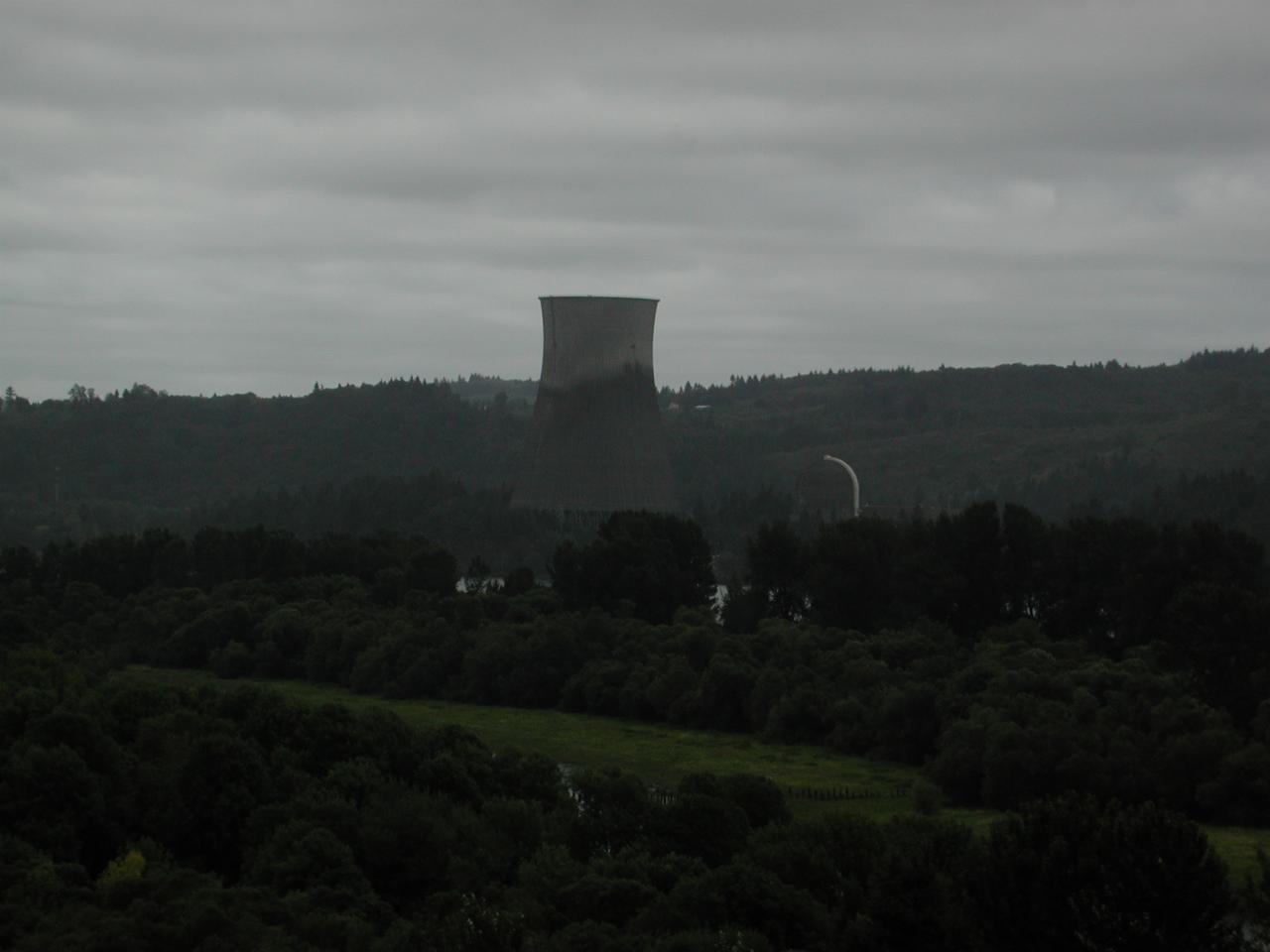
Not long after crossing I-5, the lesser travelled road climbs up to provide nicer views. And along comes the cooling tower of the now decommissioned Trojan nuclear power plant, operated by Portland Genearal Electric for many years. It was not believed to be adequately earthquake proof for this area.

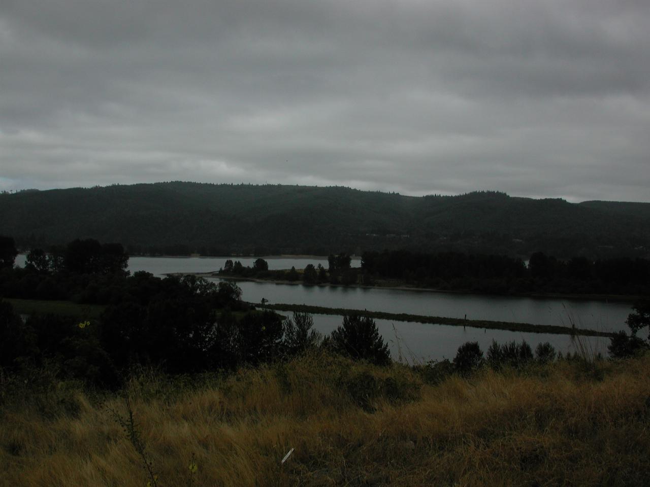
Looking across the Columbia, showing the southern end (upstream, at this location the Columbia is flowing North (right to left)!) of Cottonwood Island. The river is deep enough to handle ocean going vessels at this point!

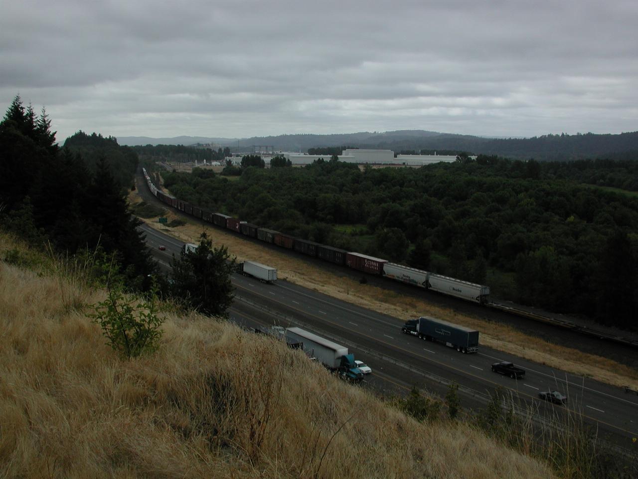
A very long train headed south.