So plan B was hatched. Make this a very long route to Orting. Without calculating times, but assuming I'd be in Orting in time for some good photos, the route evolved into a four pass Cascade loop. Over Stevens Pass, to Blewett, thence to Yakima and Chinook and Cayuse Passes around Mt. Rainier arriving in Orting via the less travelled route. And accomplish all this by leaving home a little before 3PM. Well, sunset is not until 9PM, so there's 6 hours available.
Even getting to US-2 at Monroe is troublesome at that time of day, as the route with the highest speed limits is SR522. But that turns into a stop and go for several miles exercise, so I took the back route to Duvall, and detoured through the Prison Farm, as the Duvall bridge is closed for repairs. Anyways, I made it to Monroe without any delays, and so the journey began. There was surprisingly little traffic, given that it was such a nice day.

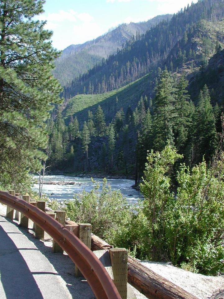
Looking down the Tumwater Canyon, towards Leavenworth.
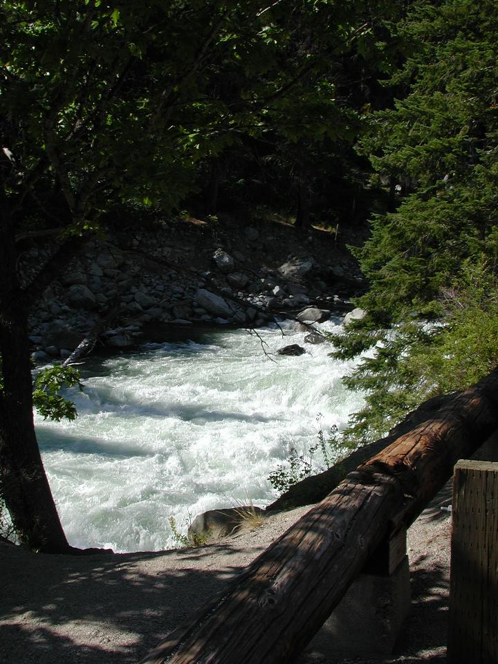
Rushing water, looking upstream.
The road continues to Leavenworth, and then a few miles further east is US97, which heads over Blewett/Swauk Pass. Of course, being summer, east of the mountains was hot, made worse by the 10 minute delay just east of Leavenworth. Looks as though the road is being widened, or a corner straightened or something. Alas, I had to wait in the sun - the shade was closer to the front of the line; I did think of riding up there. And the local police car sped past - its siren sounded like a telephone, which is what I thought it was at first!
Blewett Pass offers no specific scenic views (well, that I've ever seen), though it is a pleasant ride, and the road is in generally good condition. US-97 heads towards Ellensberg, but first passes through
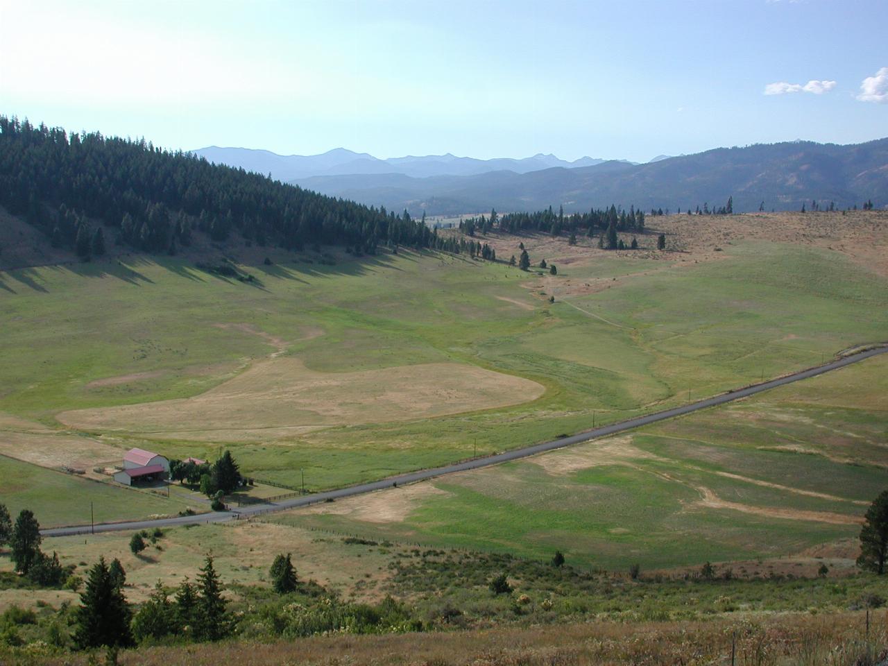
Looking north west, roughly towards Snoqualmie Pass. This is irrigated land, most likely. The photo was taken at the top of a minor (nameless) pass, and the contrast between the two sides is quite remarkable - the southern side is very dry.
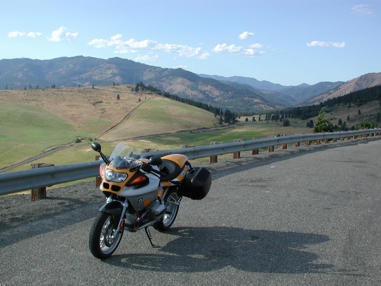
The R1100S at the above location, but this time the photo is looking north, roughly in the direction of Blewett Pass.
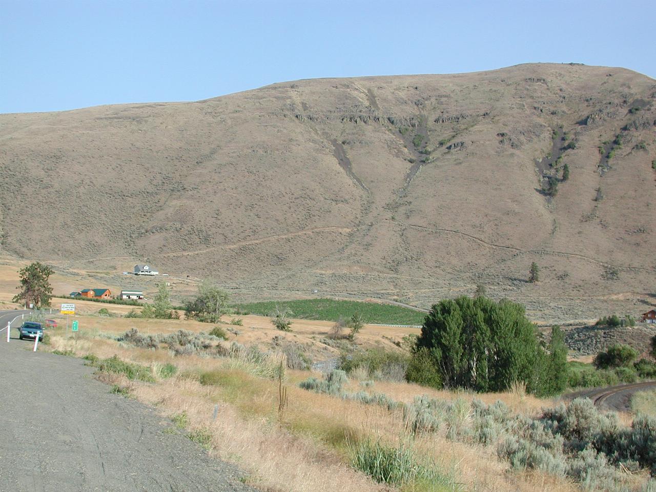
Not visible in this photo is the Yakima River. It's fed by dams closer to Snoqualmie Pass, and had quite a good flow of water in it. It's off to the right of the railway line. The irrigated paddock makes a stark contrast to the otherwise very arid countryside.
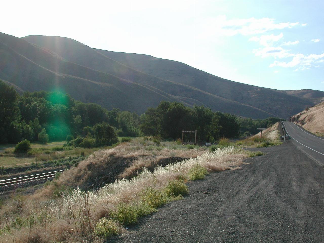
The same location as above, but looking north. The line of trees are on the river bank.