On the way home, I took the slight detour to head to the lookout on the Columbia River at Vantage. This is on the other side of I-90 to the Wild Horse Monument and includes details of the area's history.

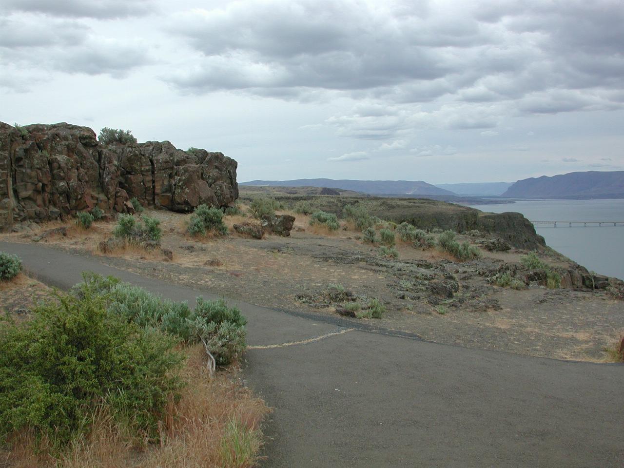
Despite the constant supply of water just below, the vegetation is very much an arid climate type. Note also the basalt from lava flows. Also just visible is the I-90 bridge over Lake Wanapum. A display board describes the Wanapums:
Until recent times the Wanapum Indians inhabited the banks of the Columbia River from Beverly Gap to where it is joined by the Snake River near Pasco about 75 miles south.
The Wanapums were a very religious and peaceful people living on fish, venison, berries and roots. They were expert fishermen, using nets, spears and woven willow traps.
The Wanapum Indians had never fought the whites and as a result they signed no treaties and thus received no special territorial rights. Although numbering in the thousands at one time, Wanapums are now virtually extinct.

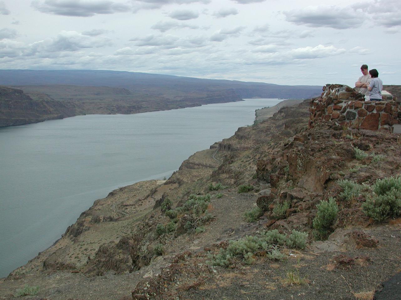
Looking upstream on Lake Wanapum. Not visible in this photo, the remnants of earlier roads are visible closer to the river banks.
Before the days of the railroad, the transportation of the mail and interstate travel were dependent on public roads. The federal government encouraged the development of early post roads (used for the distribution of U.S. Mail). Then, with the coming of of the railroad, the government switched its interest from roads to railroads as a better means of interstate travel. It wasn't until the coming of the motor car that the federal government renewed its interest in public roads.
By 1906, the need for a better organization to build roads was recognised. Thus the State Legislature established what is today our Department of Highways. Stagecoach and covered wagon trails slowly gave way to dirt roads which were passable at least in dry weather. These, in turn, were succeeded by macadam and occasionally fir plank roads.
Remnants of early roads can be seen in the valley below. The first roads in this area were constructed about 1918 and followed the contour of the hillside down to a ferry landing. In 1930 an improved highway was constructed.

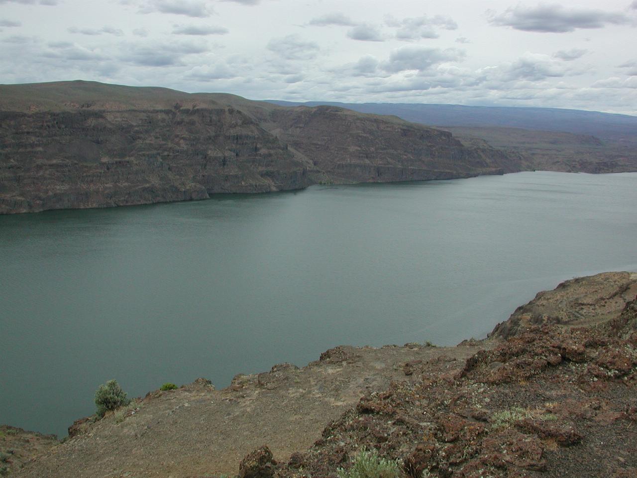
These basalt cliffs on the western side of the Columbia River are the results of the lava flows in this area before the Cascade Mountains formed. The vegetation was lush at that time, as the winds from the Pacific bought in large amounts of water. When the lava flows occured, they formed the Ginkgo-Petrified-Forest which is preserved as a state park on the far bank of the river.