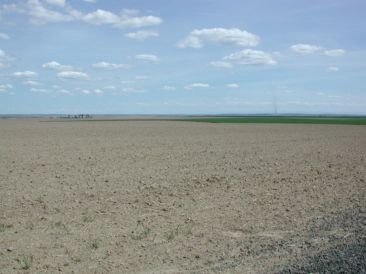
The inner passage is a route through rural areas, on quiet backroads. It travels east to west, roughly parallel with, and between I-90 and SR-26, and is much more enjoyable than either. Road surface varies from excellent to choppy, but there's little traffic. There is no specific road for this route, rather a collection of local roads. The terrain is fairly flat. It includes areas of poor vegetation due to removal of the top soil during the last ice age, when there were major floods. Other sections are prime agricultural land. It also crosses the O'Sullivan Dam, a low earthen wall creating Potholes Reservoir, south of Moses Lake, and filled with water from Grand Coulee Dam.

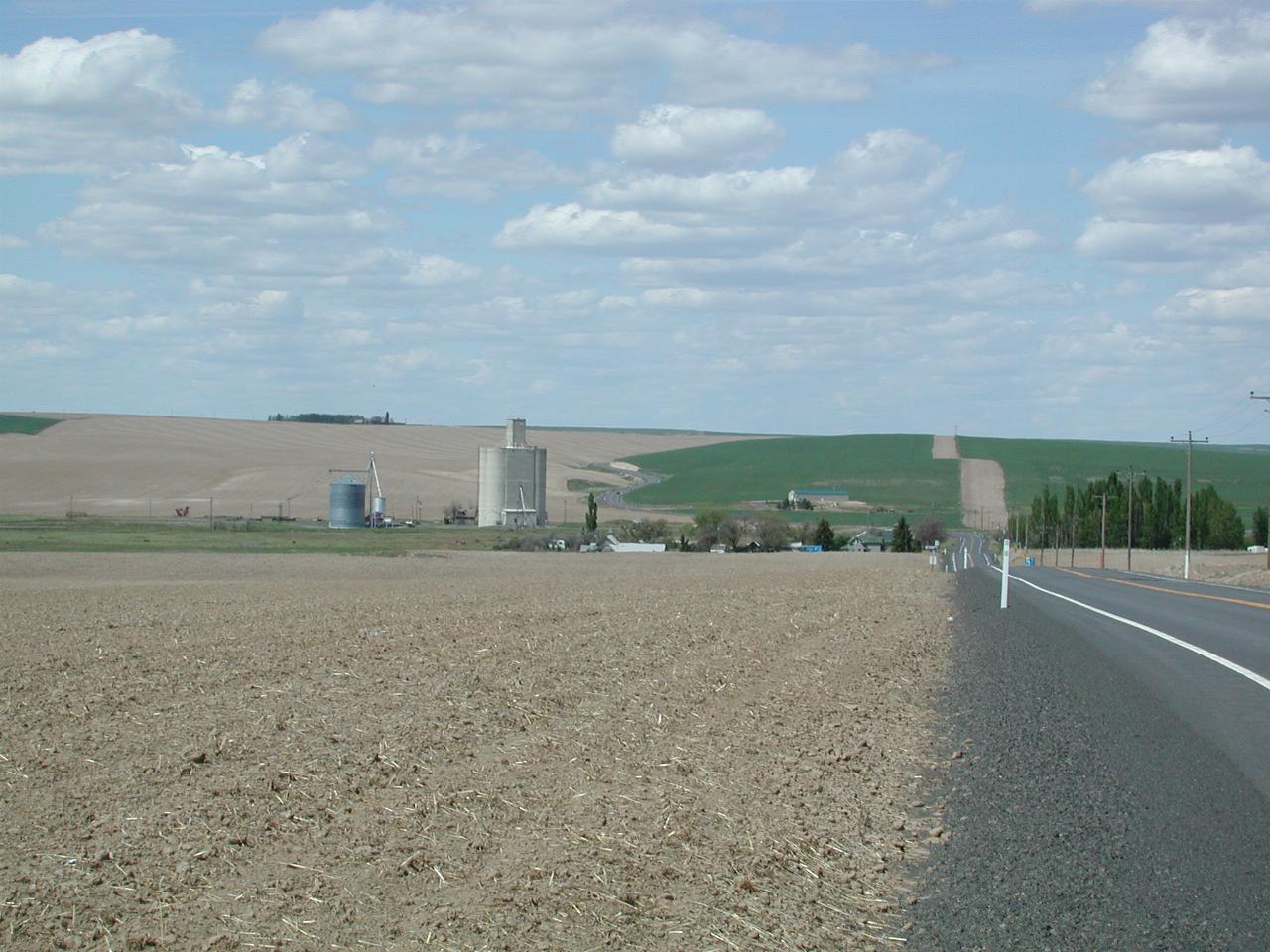
Ralston is one of the many small towns along the way. Perhaps as much as anything, Ralston has a grain elevator, the most visible structure in this picture. And no gas station.

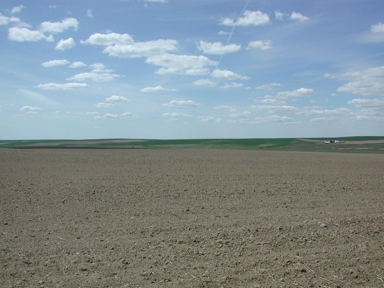
This land is prime agricultural land, used for growing wheat I expect.


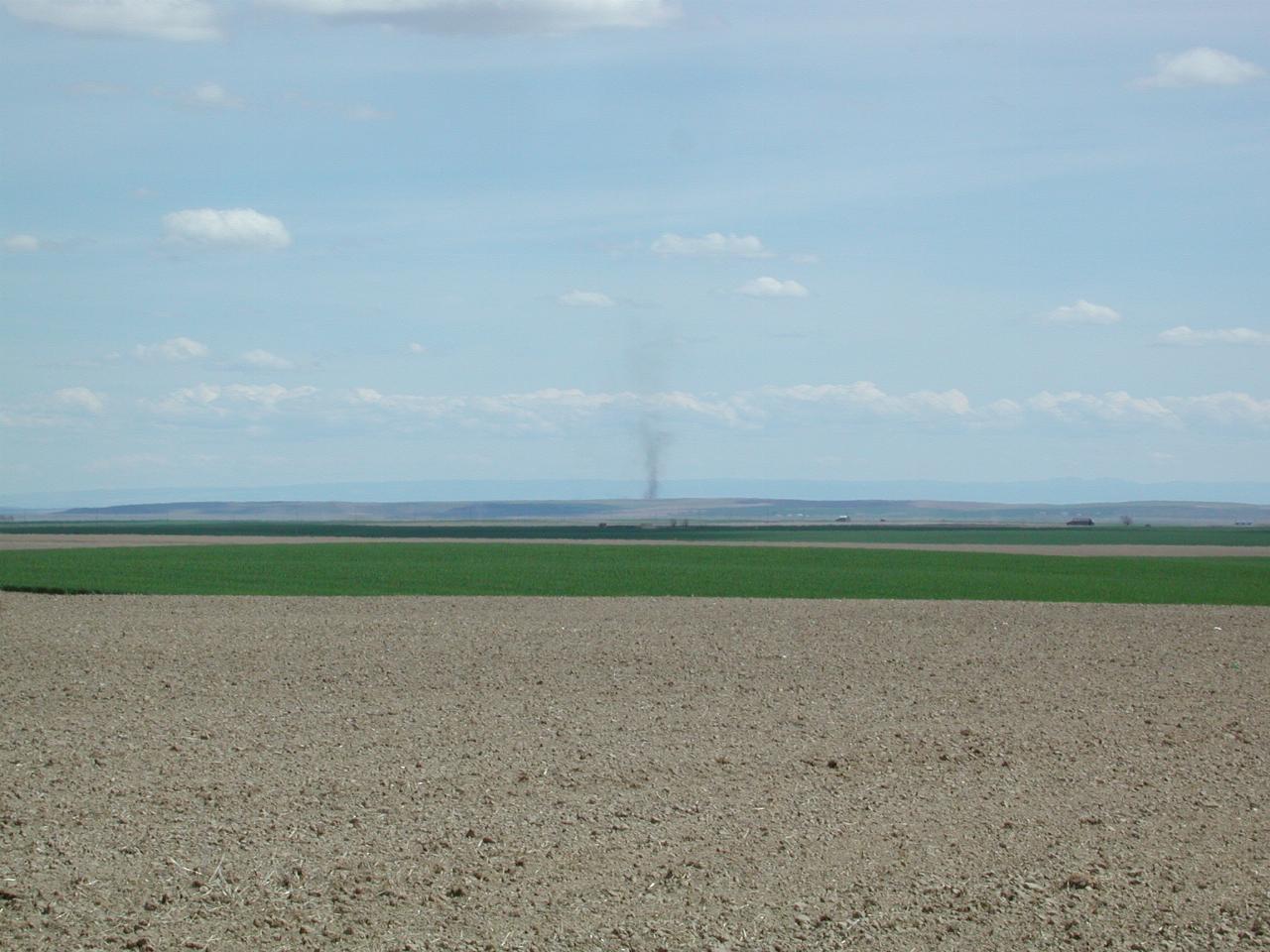
Probably a fire in the distance, but it could be a "dust devil", a small tornado like occurence I noticed at times along the way. It was windy.