
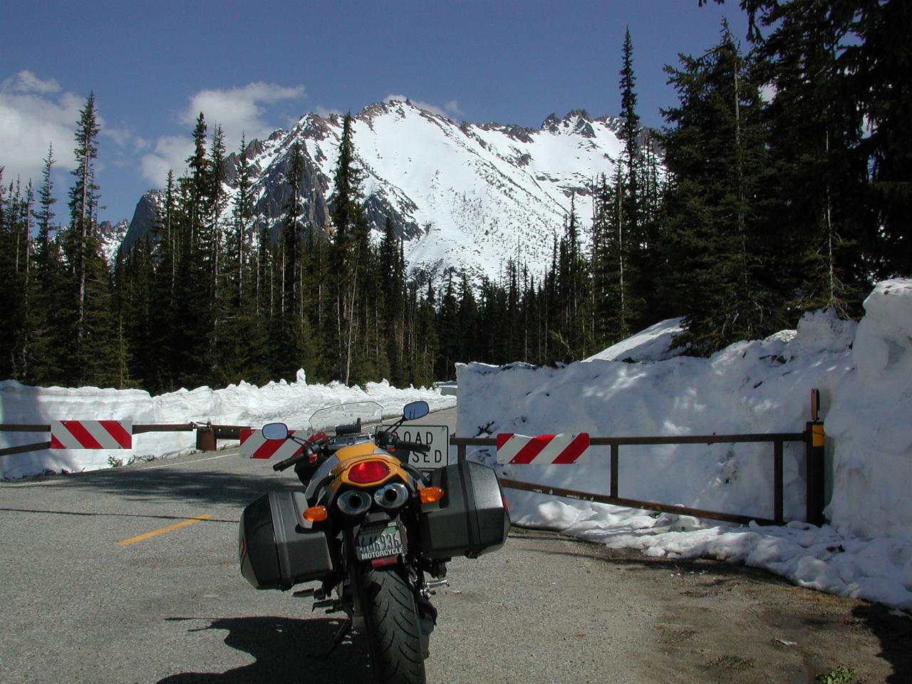
I was surprised to see the road into the lookout area had been ploughed clear. However, the area itself was closed.

5,433 feet and proud of it! The highway is perhaps 10 feet higher.
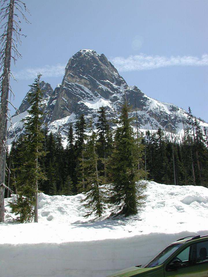
The map I have suggests this is Early Winters Spires mountain.
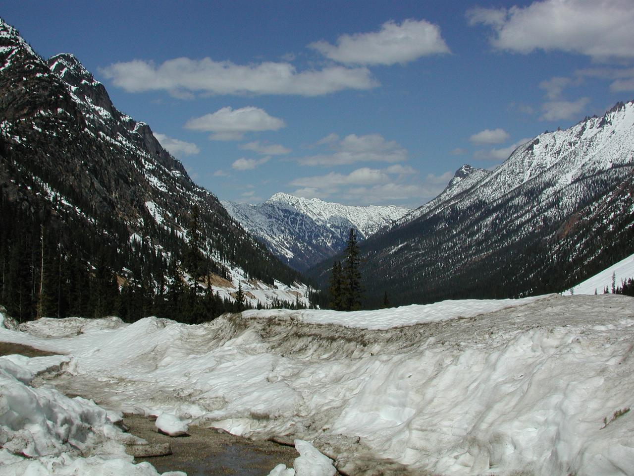
Looking down the (apparently nameless) valley which leads into the Methow Valley.
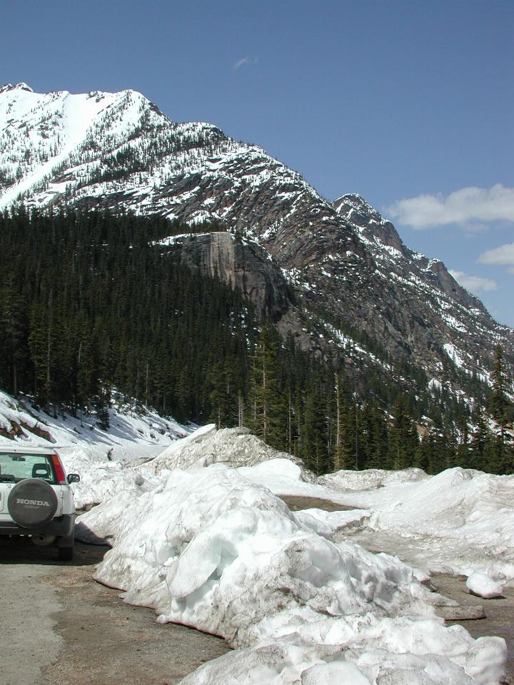
The lighter, bare rock a little above the middle, is the lookout mentioned above.
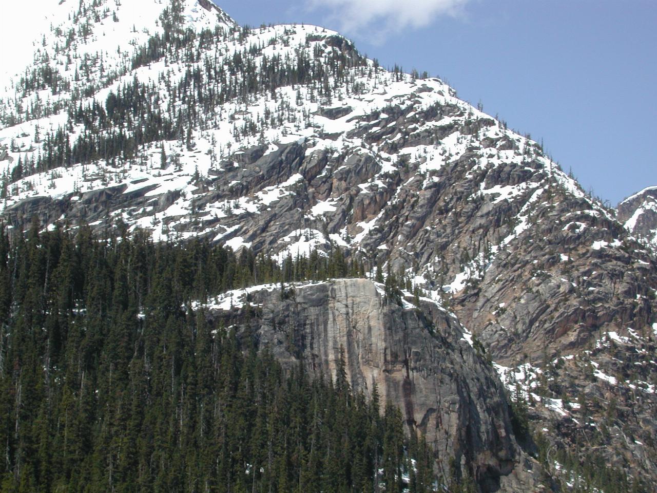
A close up of the viewing rock.
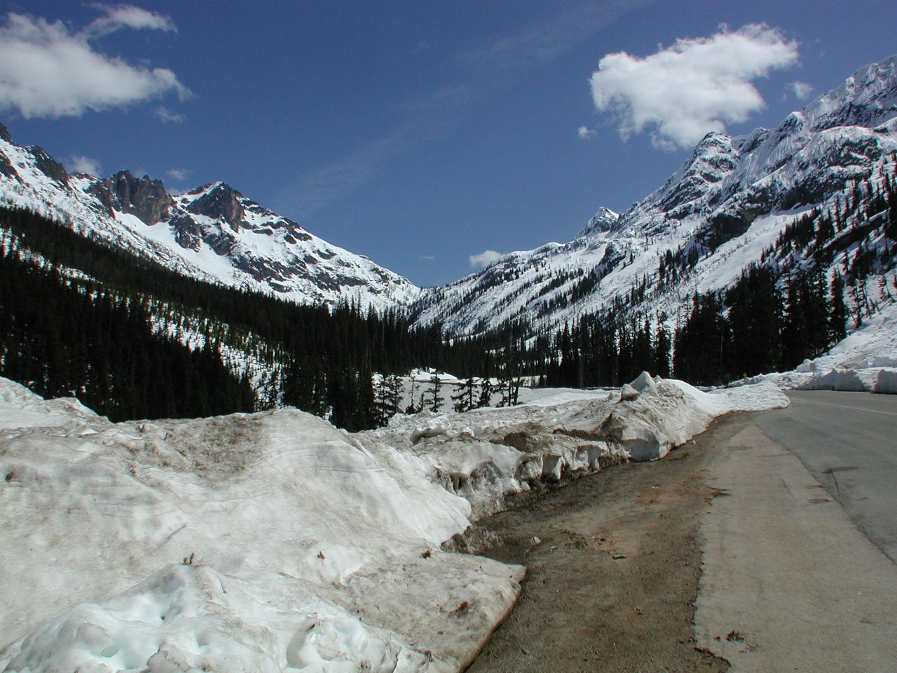
Looking towards the source of Early Winters Creek which eventually runs into the Methow River. The road does a 180 degree turn here, heading up the mountainside to the right.
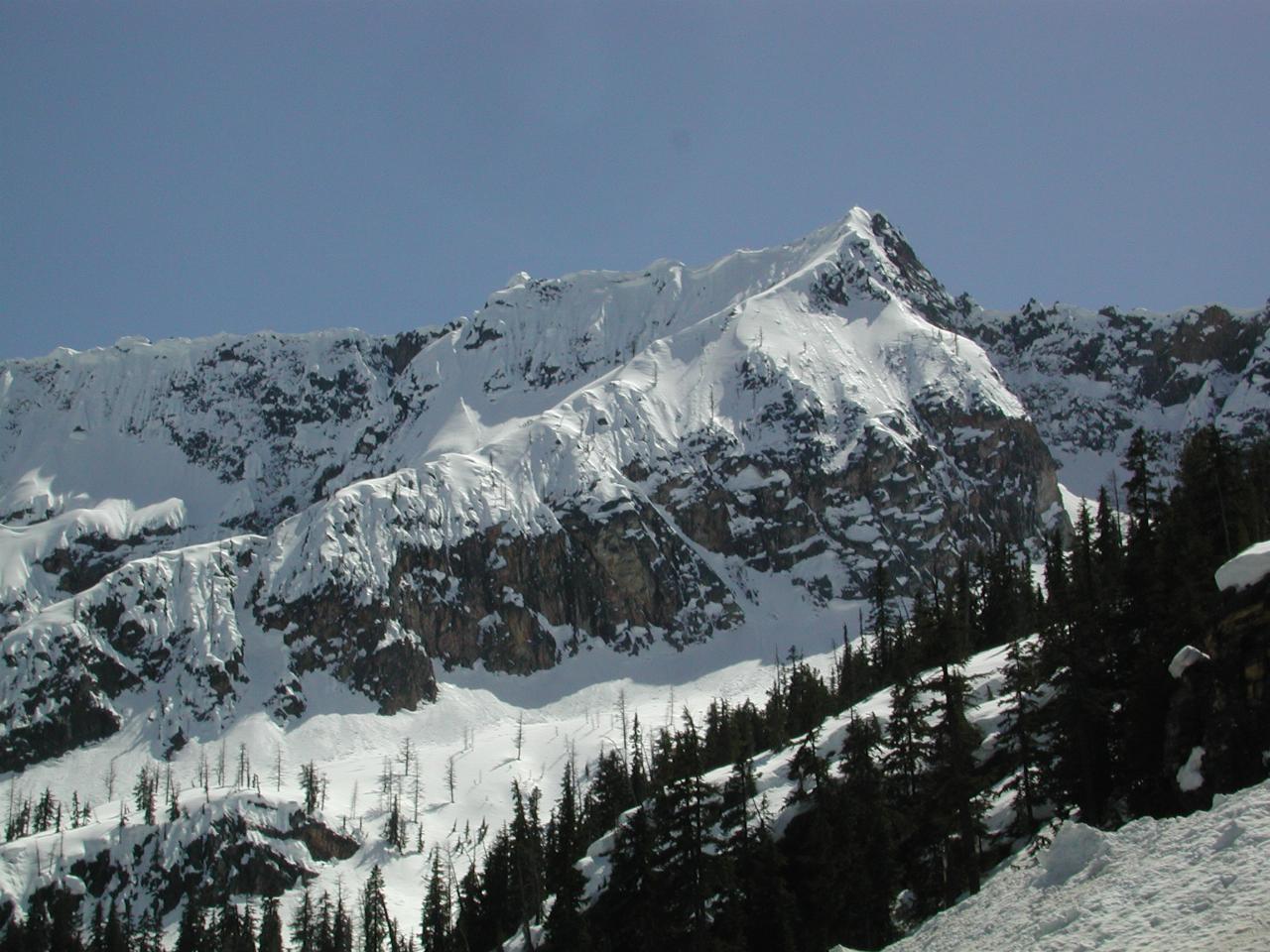
A close up of one of the mountains above the road before the 180 degree turn. This road is subject to avalanches, and has only opened now because the weather cooled off and froze the snow. Any heating and there could be further avalanches. This looks like on of the places subject to avalanche danger.
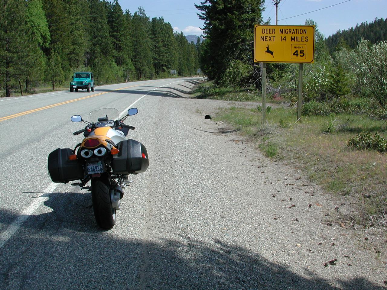
A sign of fear to any road user, but particularly motorcyclists. Deer are especially dangerous, and not yet adjusted to avoiding motor vehicles of any sort. This is located before Mazama in the Methow Valley. A close up view.