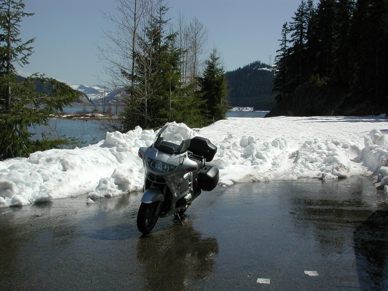

The road to the boat launch area and trailhead (for the old railway line) has only recently been opened. I tried a few weeks ago, and it was still covered in snow. This is at the very end of the road, and the area of snow behind the bike is the parking lot for the boat launching ramp, and when the water is a little lower, leads to another ramp near the little hill visible to the top left of the bike.
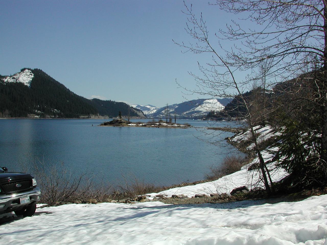
This shows the "little hill" turning into an island. Looking roughly SSE
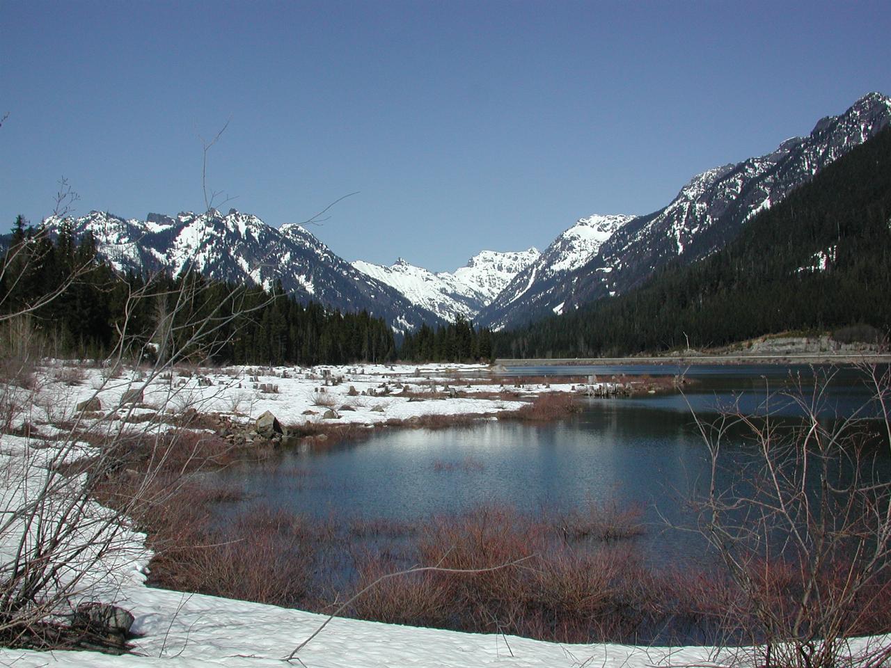
What a glorious day to be outside. The northern end of Lake Keechelus.
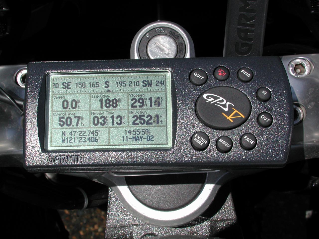
The actual location, to be precise. At only 2524 feet, this area is much lower than the other passes, but being on the western edge of the Cascades, receives a great deal of snow.
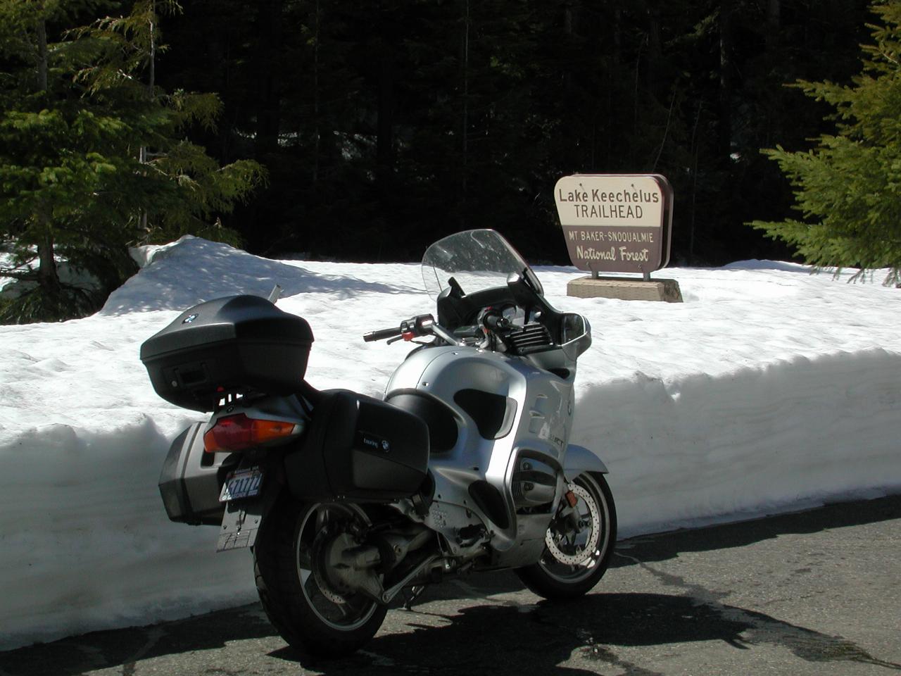
The original rail line from Puget Sound travelled over Snoqualmie Pass. The road bed is still intact, and has become a trail, including one of the long tunnels under the summit. The trail runs along the back of this image, and includes a parking lot, currently under quite a bit of snow.
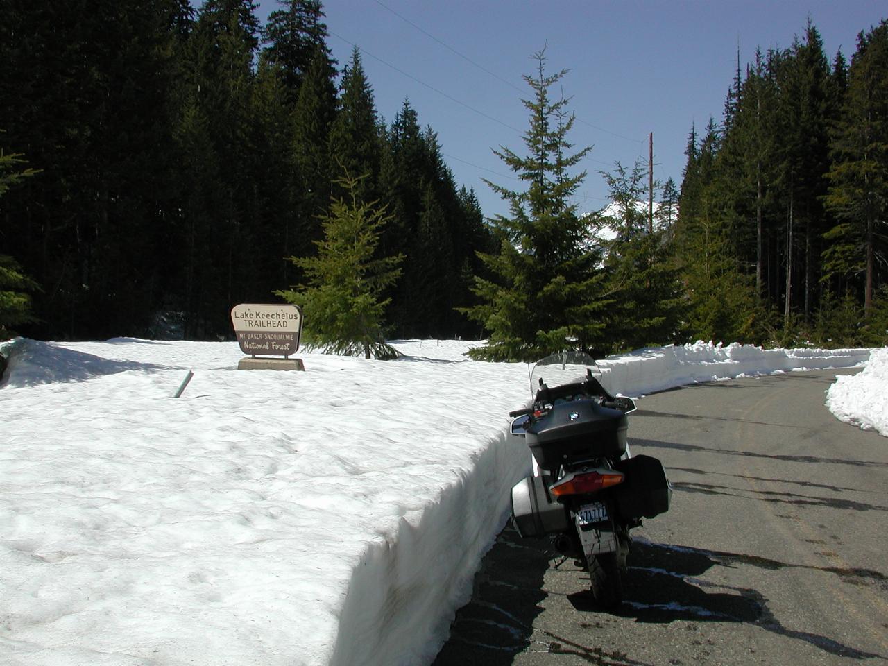
Looking towards the summit, and somewhat along the old rail line.
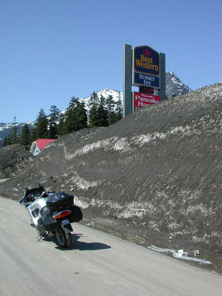
It looks brown, but it's actually snow underneath! The brown is dirt sprayed up from traffic, as Washington State uses dirt to provide traction on roads, rather than the damaging salt used in some area. And this does not represent the amount of snow which has fallen - the mound is from ploughing operations.
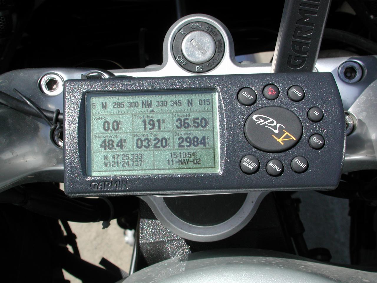
The exact location!