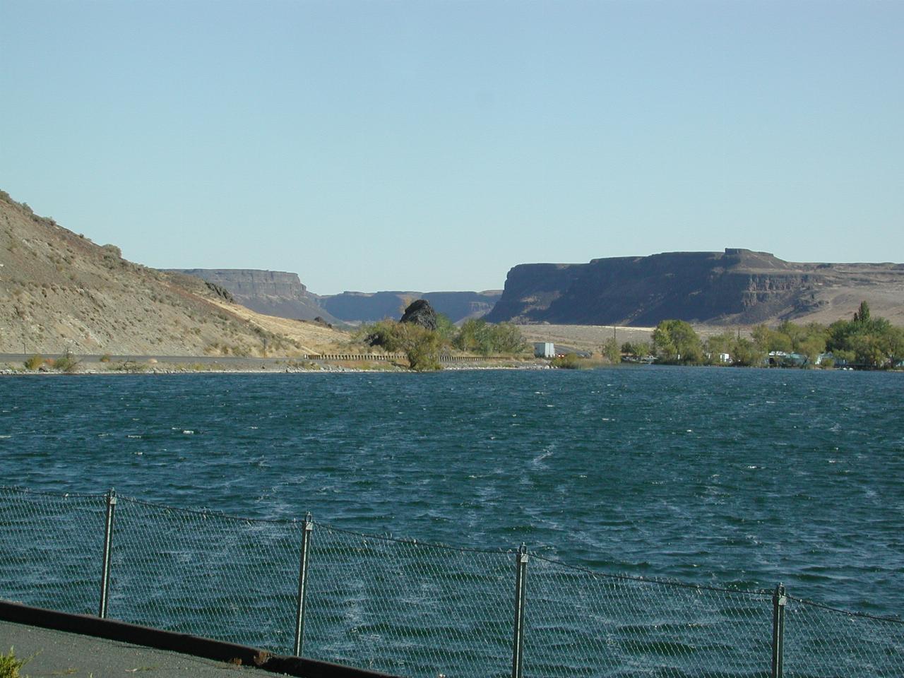

Looking north towards Dry Falls (not visible from here).
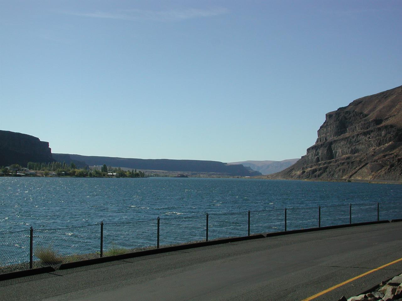
Looking south, from a rest area.
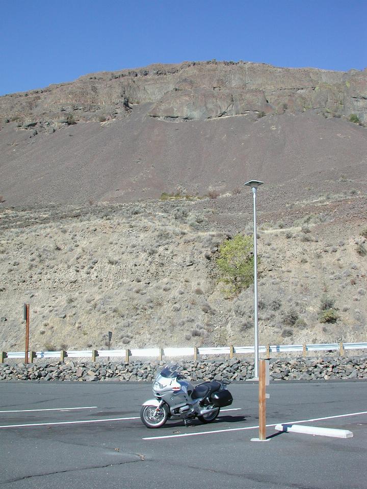
Coulee walls, which are crumbling as rock does - the cooling/heating cycles (intense here), and water freezing in the rock face, eventually causes part of the rock surface to split off, and you can see where it is building up, as the slightly reddish coloured slope below the top part of the cliff face.
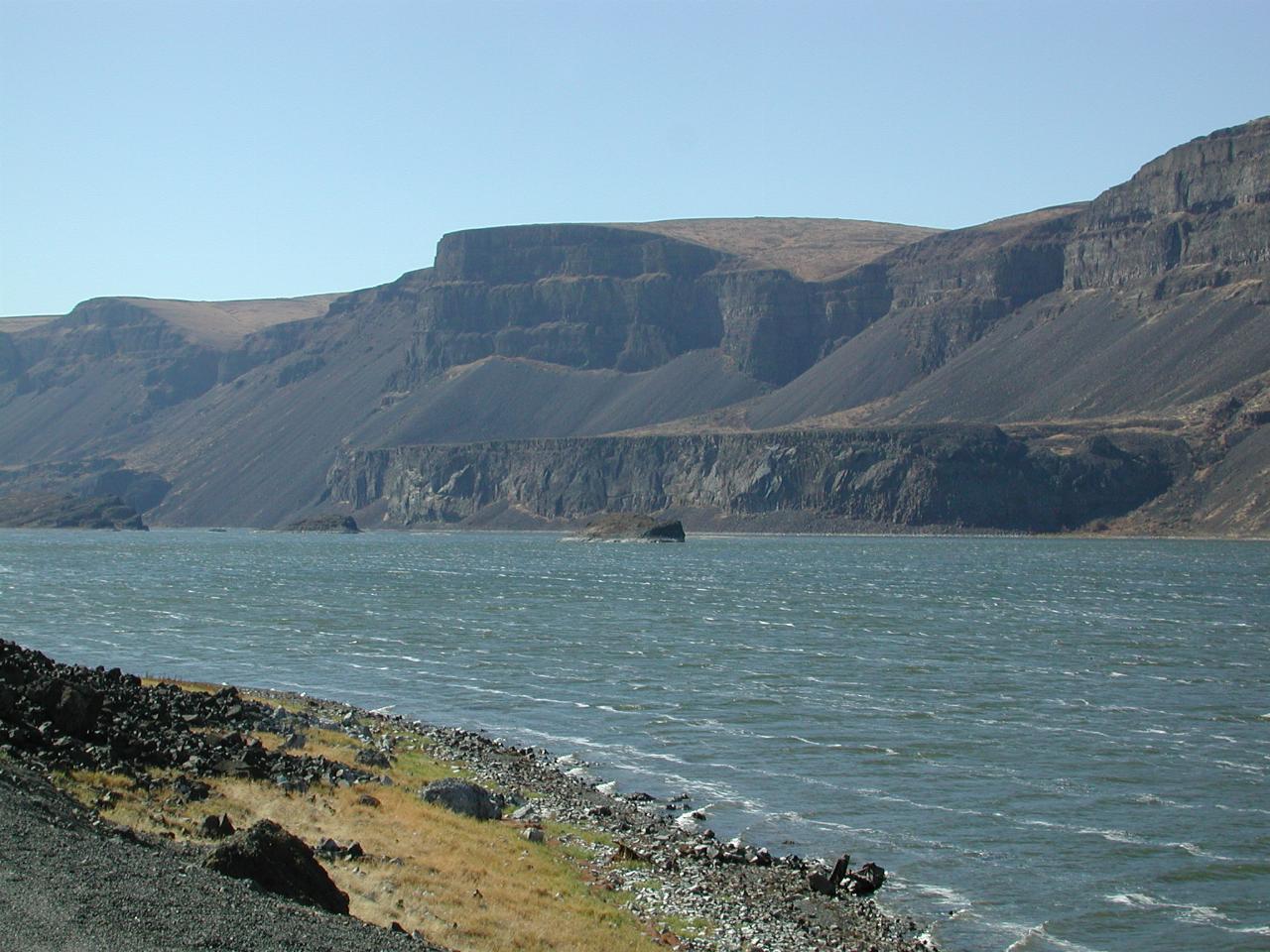
Another chain in the series of lakes is Lenore Lake, where again the crumbling rock is visible, as is the interesting plateau on the far side.
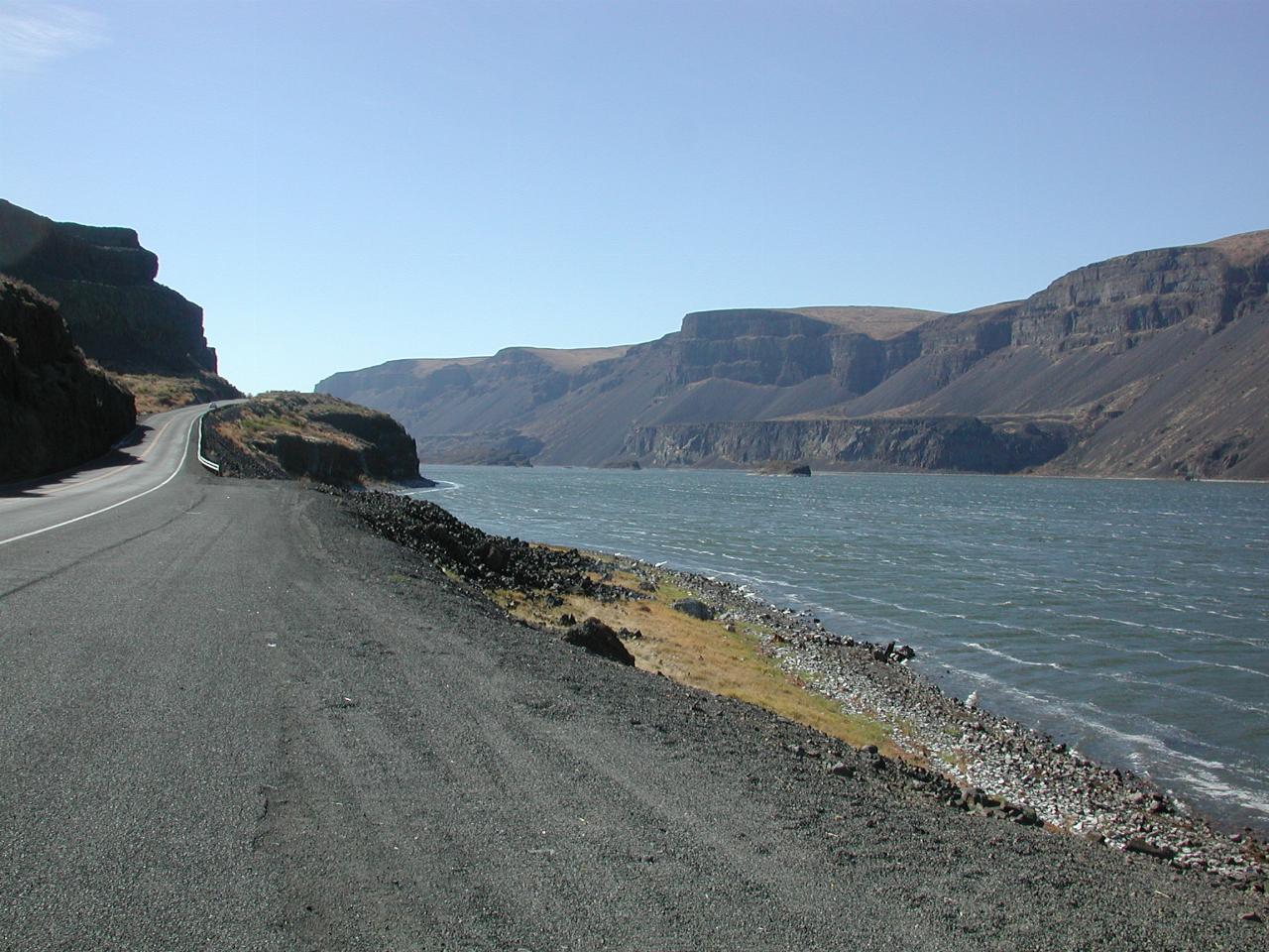
A wider angle view.
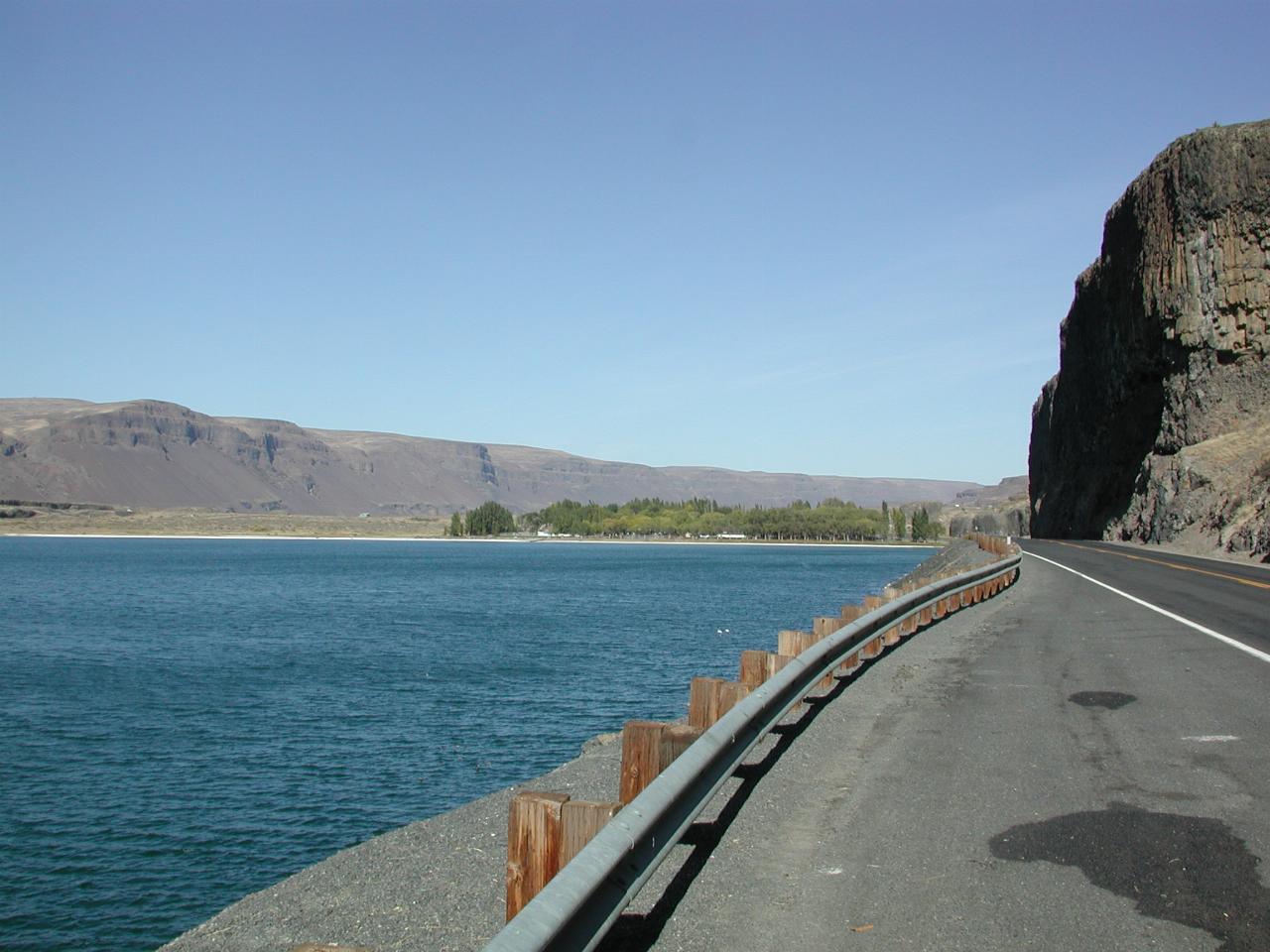
The final lake in Lower Grand Coulee is Soap Lake. This is just about the end of the coulee, as the regular eastern Washington plains begin south of here.