Mt. Adams and the Columbia River

Mt. Adams

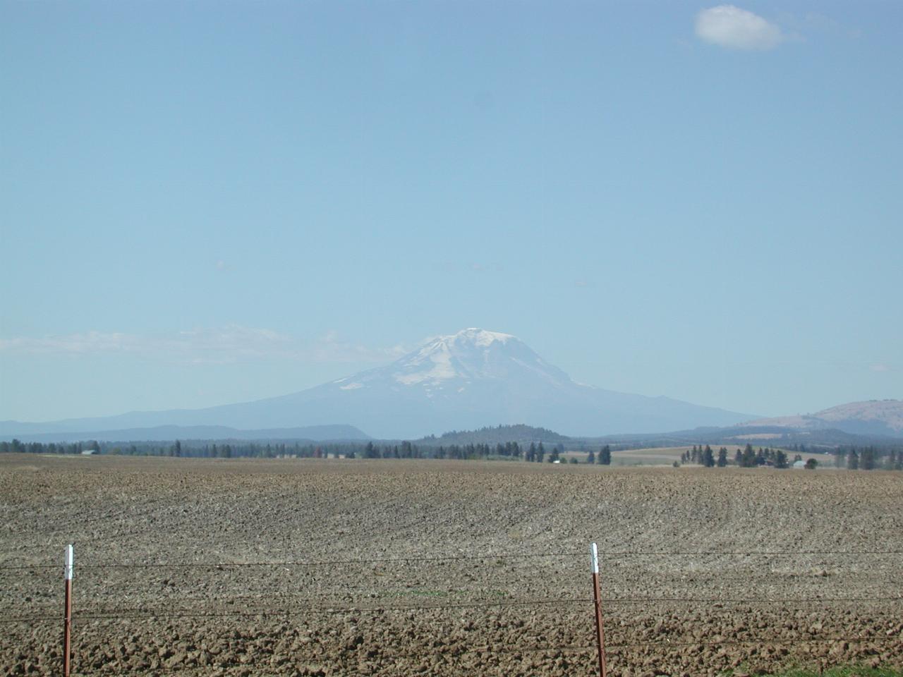
Mt. Adams is the most southerly of the five volcanoes in Washington state. It is not too far from Mt. St. Helens, and is generally quite visible from there.

Mt. Adams from near Goldendale on SR 142

As seen from just off SR 142 near Goldendale.
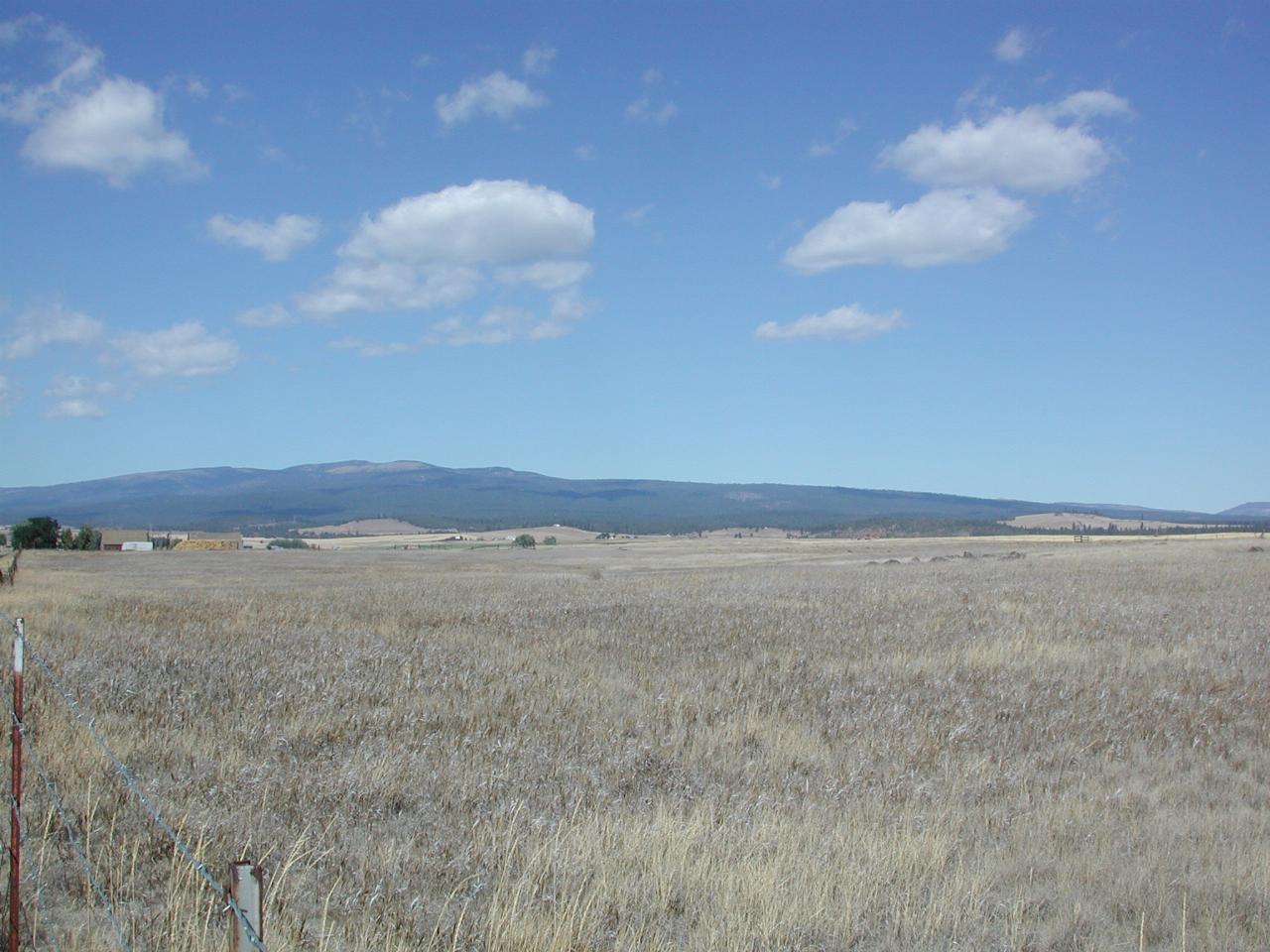
Simcoe Mountains, north of Goldendale, from SR 142.

Simcoe Ranges, just north of Goldendale, as viewed from just off SR 142. The state of the field here shows why Eastern Washington is known as "the dry side".
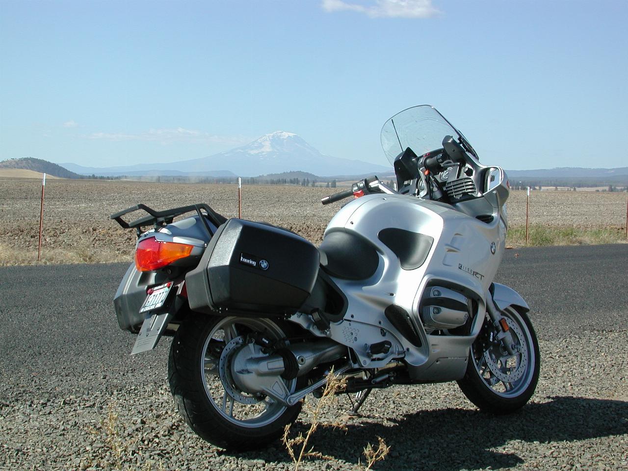
The RT and Mt. Adams, seen from Goldendale on SR 142

The "RT" waiting patiently for the photographer to finish, with Mt. Adams in the background!

The Columbia River Gorge

The Columbia River forms most of the border between Washington and Oregon. See also A Trip Along The Columbia for more photos of this section of the Columbia River.

The information display at this location describes the climate thus:

Gray clouds, heavy with moisture from an absorbent journey across the ocean, drizzle inland from west to east. Bumping into the Cascade Mountains, they rise, cool and drop a final deluge that soaks the fir forests on the west facing slopes.

East of the protective Cascade Range, the sky is less cloudy and the plateaus are drier. Upland ponderosa pine woodlands descend to oak savannah, and to desert sage and grasslands.

The Columbia River Gorge is a meeting place of worlds separated by the Cascade Mountains. It boasts five distinct "vegetation zones", plant communities adapted to the local climate.
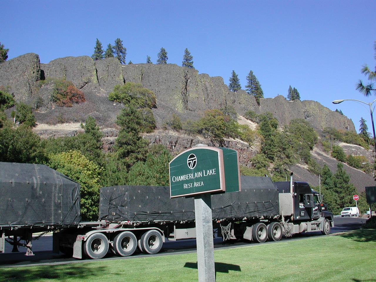
Information Board at Chamberlain Lake Rest Stop

The Chamberlain Lake Rest Area is located on SR 14, just near White Salmon.
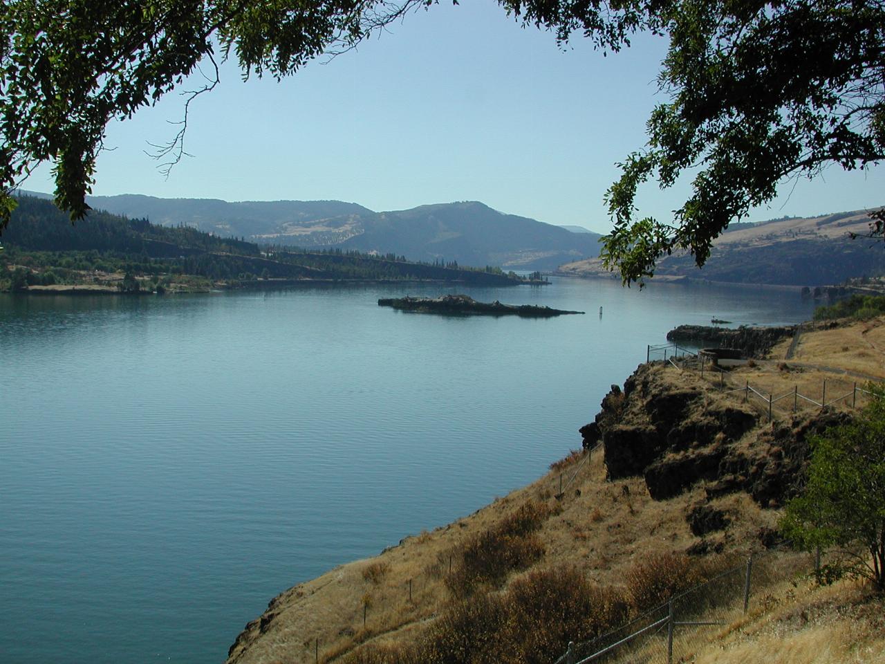
Columbia River, looking west, from Chamberlain Lake Rest Stop

Looking west along The Columbia towards the fertile and wet coastal areas.
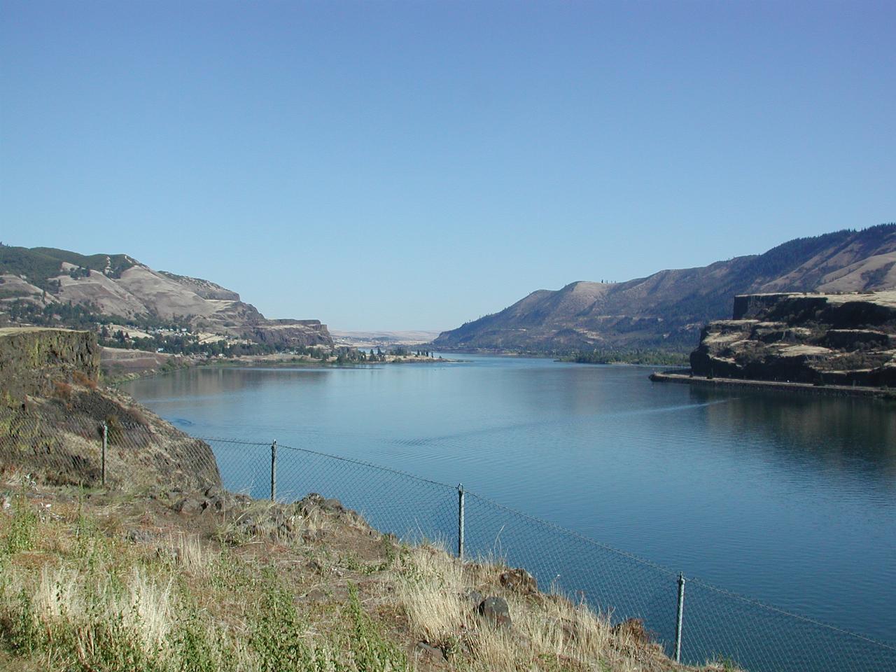
Columbia River, looking east, from Chamberlain Lake Rest Stop

Looking east, into the drier hinterland.

left arrowYakima Canyon