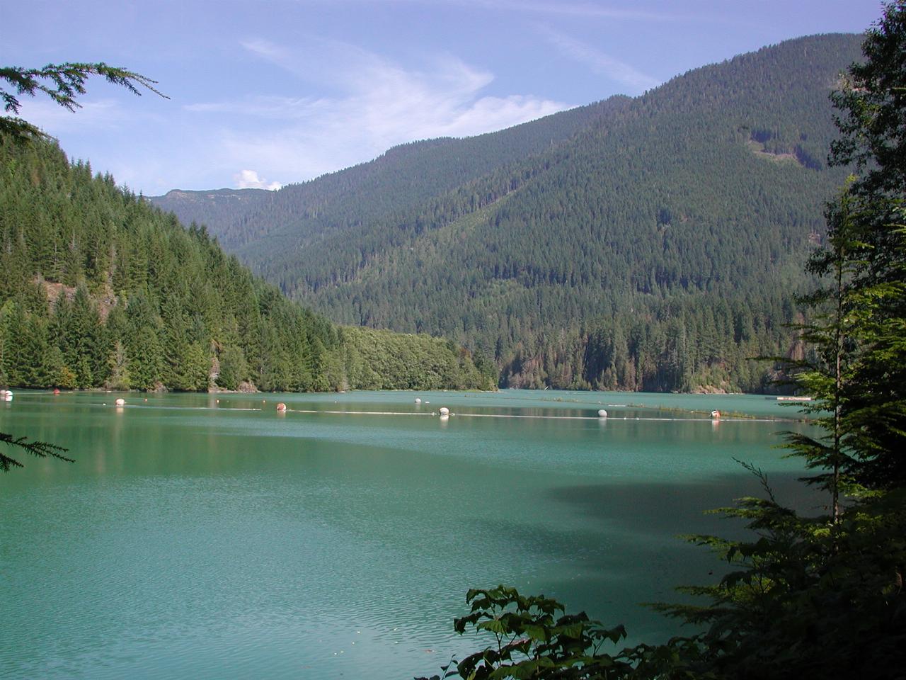

Looking roughly north east.

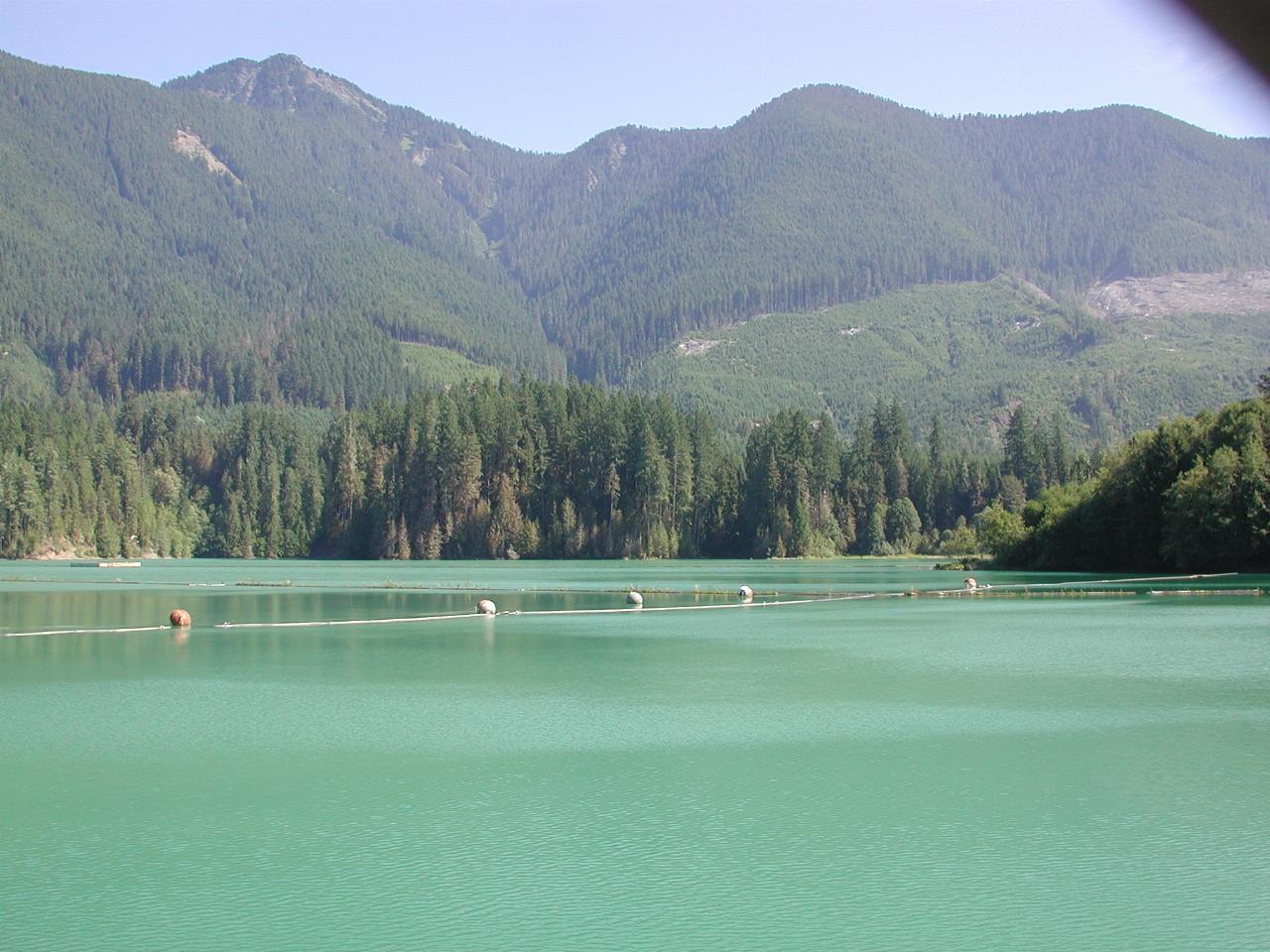
Looking roughly east, from the dam wall. The dark area at the top right is part of the chain-link fence along the top of the dam wall, visible in the next picture. I'm not sure, but I think the green colour is partly from the trees, and/or minerals picked up along the way from Mt. Baker.

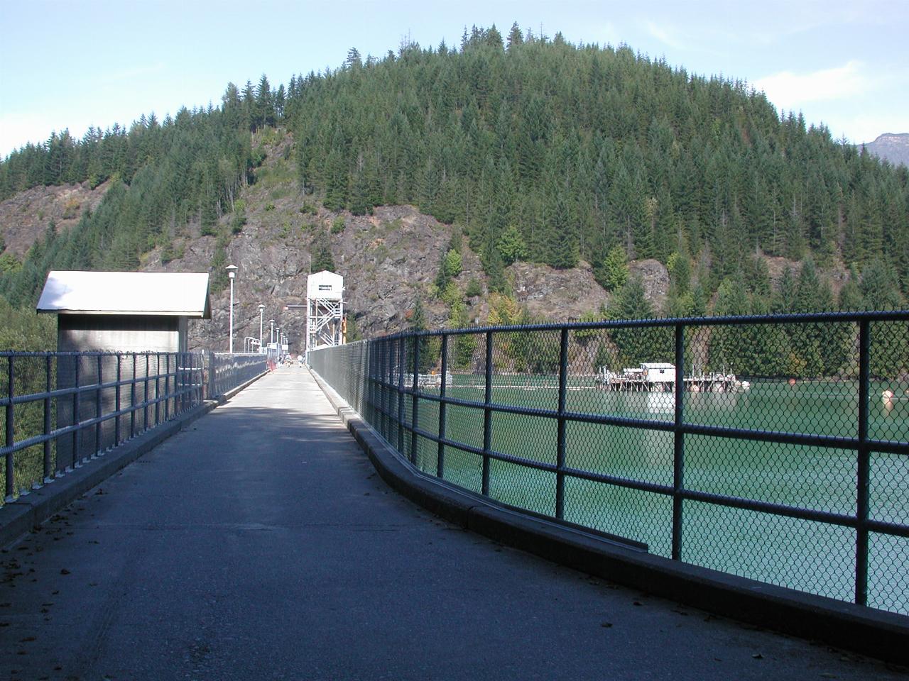
Looking along the wall. Not really obvious, but there was quite a bit of routine maintenance (painting) work going on. Well, this is the time of year to do it. One other point of note is that the dam was full! This is near the end of summer, and the rainfall was quite low this year, so I would have expected the water level to be quite low. However, I seem to recall that one of these dams (there's another one lower down the river) was 'shut' for major power station overhaul, so perhaps the dam is full because the water was not being used to generate power. It certainly was on the day I was there.

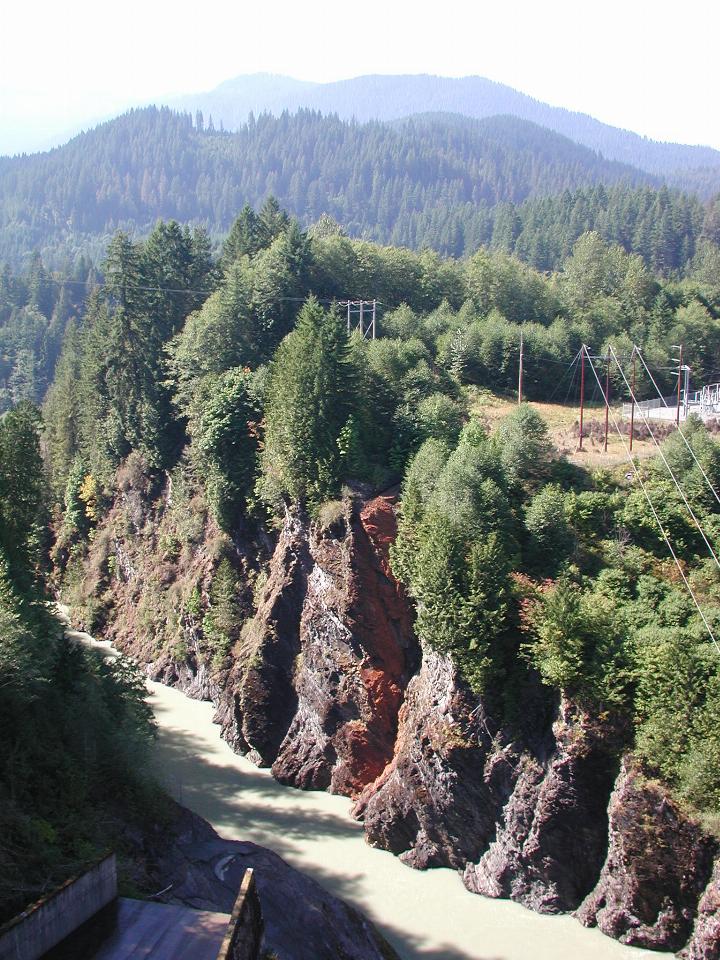
Water flowing out from the power station and down the Baker River.