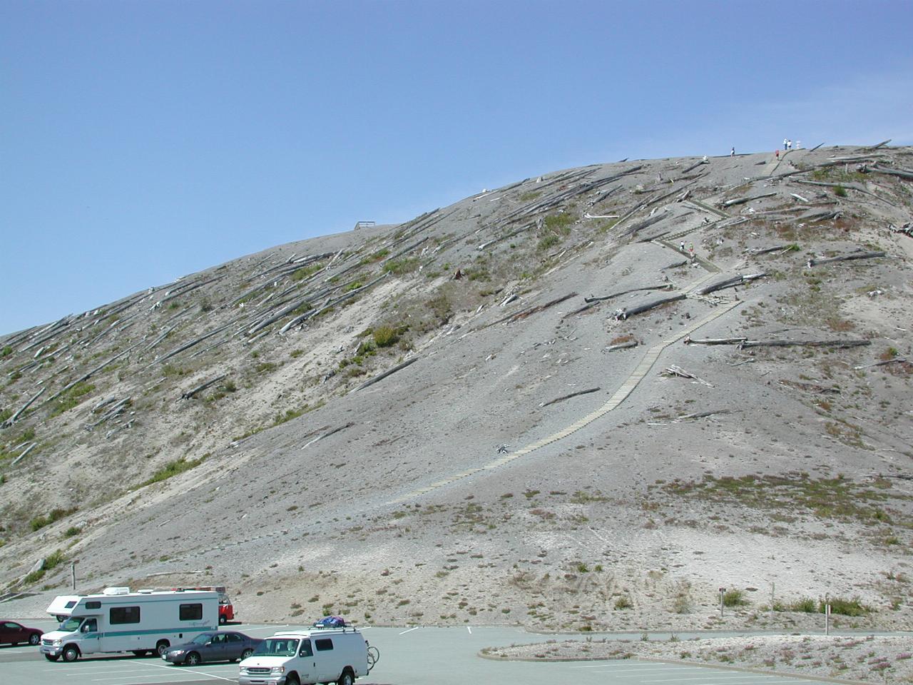
The view from the parking lot at Windy Ridge, some 5km (3 miles) from the crater! This hill received the full force of the blast, as is evident from the barren state, even 20 years after the event. There are 441 steps to the top - I didn't count them, but another visitor that I stopped to talk to did so, and let me know when they returned to the bottom. The arrow in the larger view points out a viewing platform, from where the next photos were taken.
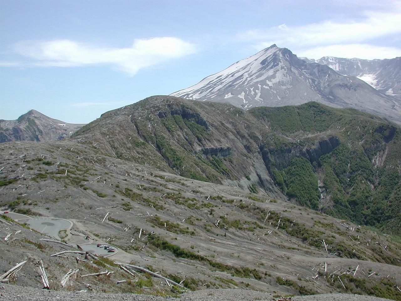
From the top, looking towards the crater. And, in the bottom left corner, is the parking lot, a looong way down!

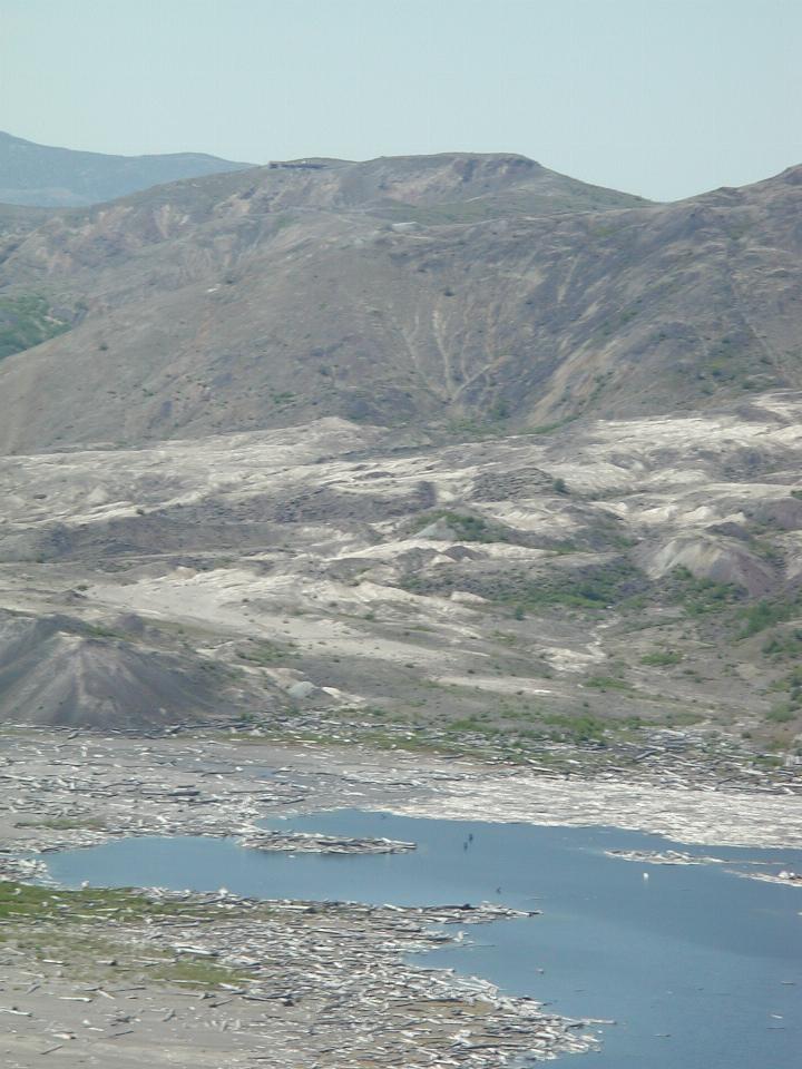
Across the south western end of the lake to the Johnston Ridge Visitor Centre, which is reached from the western side. The larger image has an arrow locating the buildings.
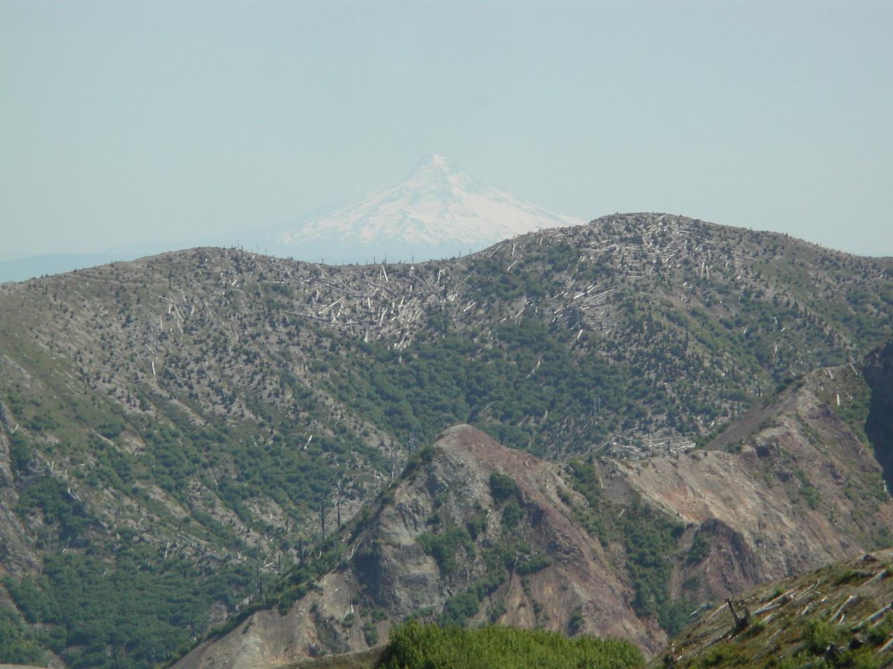
Mt Hood, faintly visible in the distance.
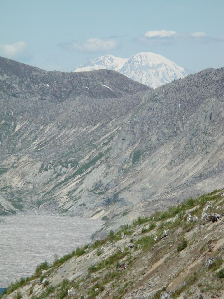
Mt. Rainier, seen over the north eastern end of Spirit Lake
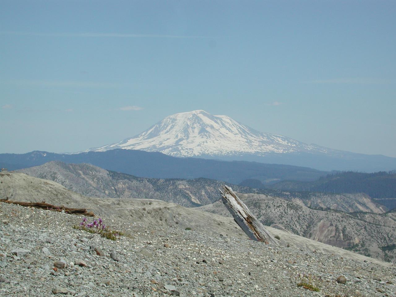
Mt. Adams, east of Mt. St. Helens
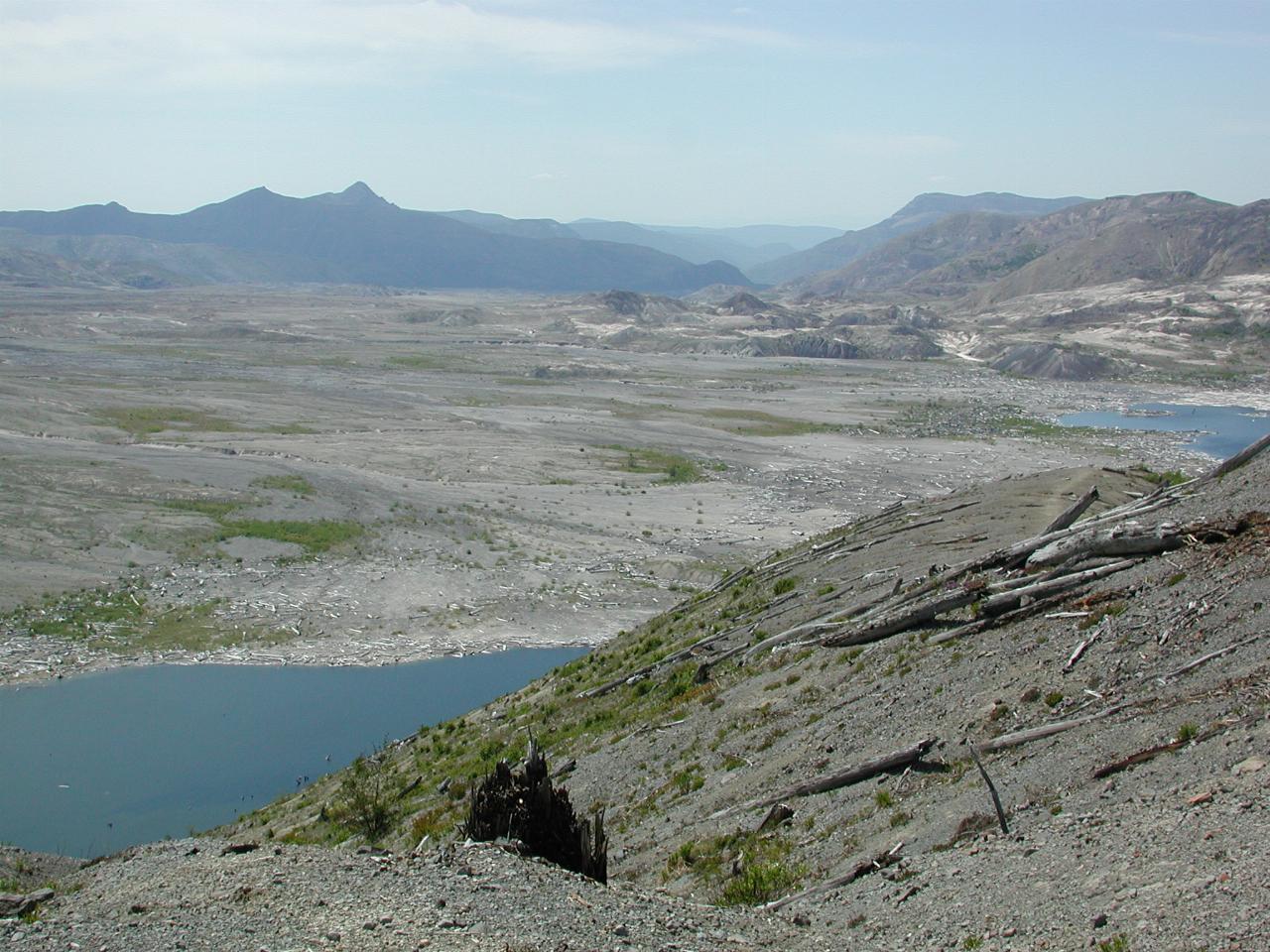
The valley holding the South Fork of the Toutle River. The Johnston Ridge Observatory (named after a US Geological Service volcanologist killed in the eruption) is on the ridge to the right.
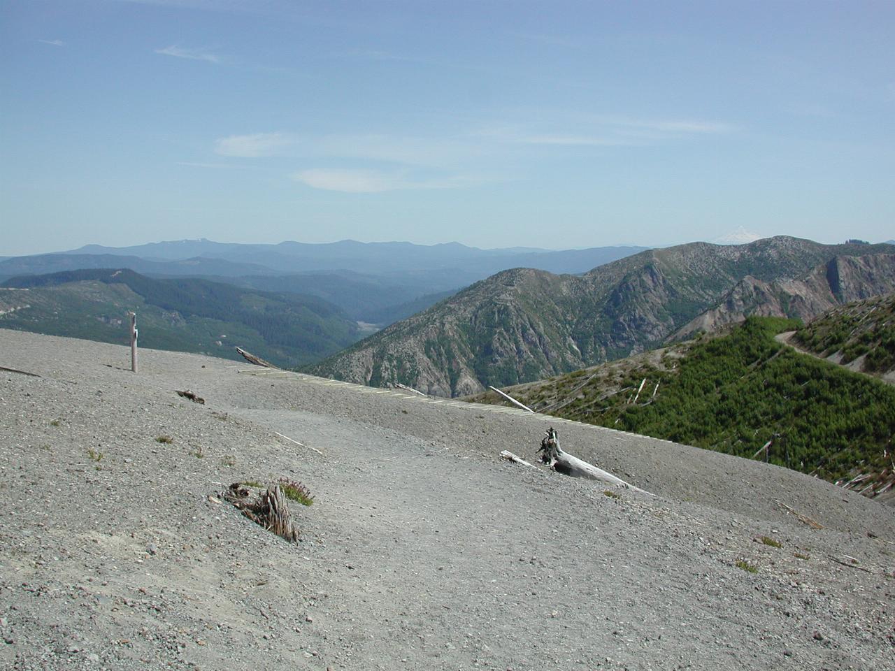
The valley carrying Smith Creek away from the mountain.
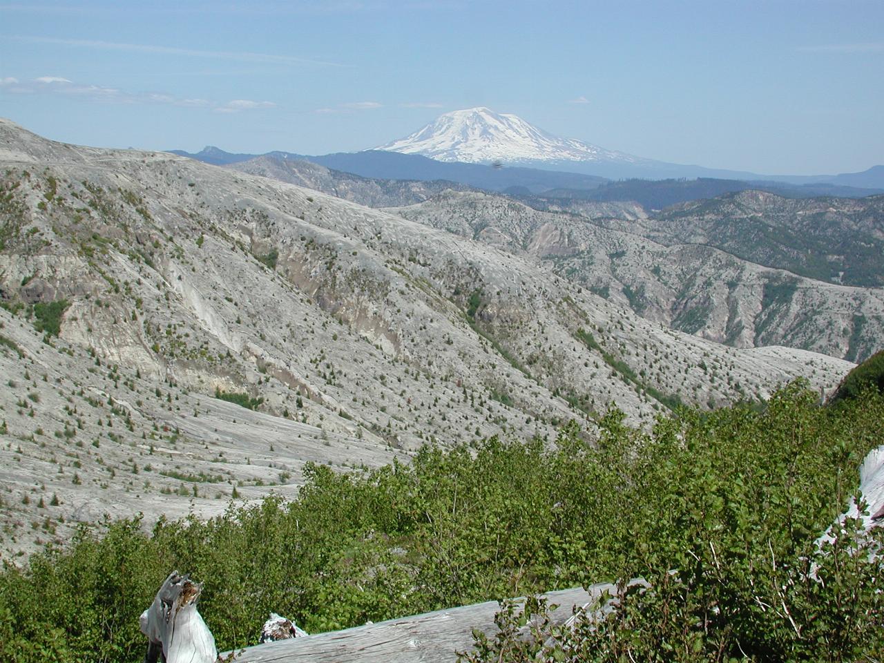
Looking towards Mt. Adams, from the parking lot. Note how barren is the hill opposite, yet this side is growing much more vigorously. This side was somewhat sheltered from the blast.