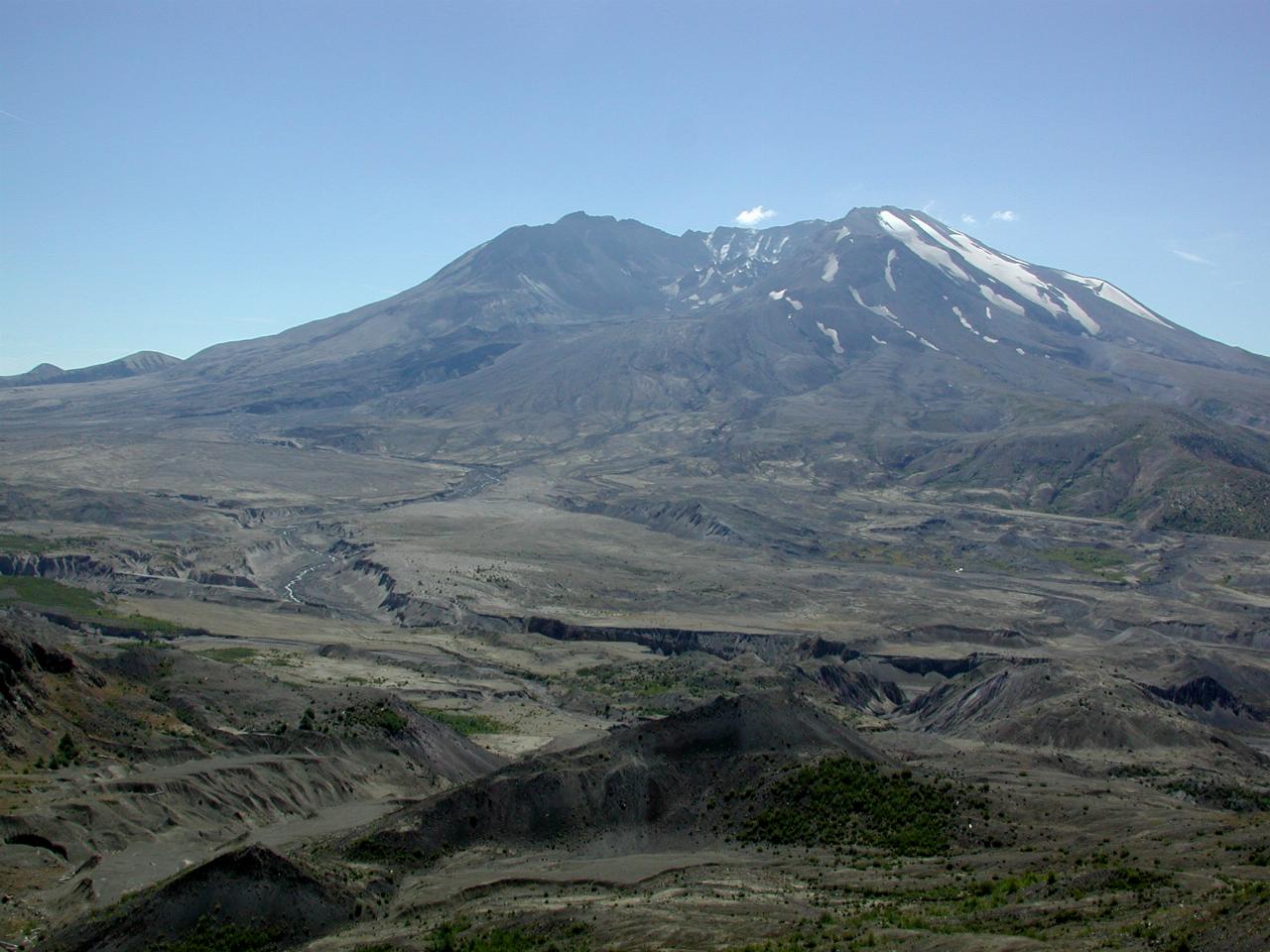

This is a view from the viewing area a little before the visitor centre. Most of the ground in this photo was part of the mountain before the explosion - this was the side the mountain blew out. After 20 years, there is vegetation starting to appear.
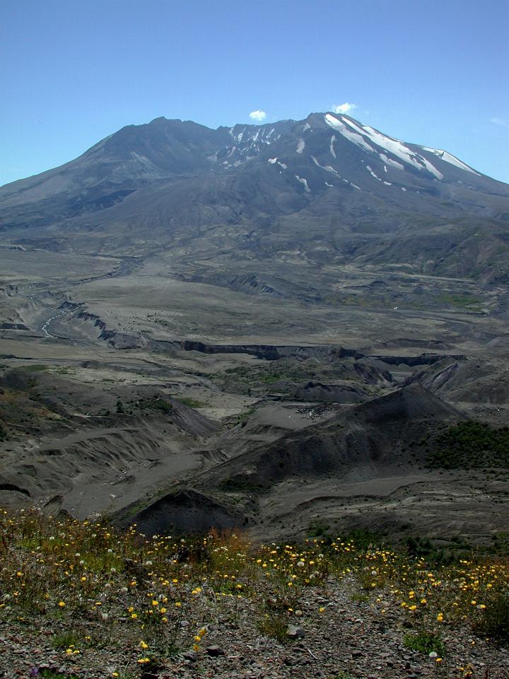
This shows some of the foreground plants, which are starting to prepare the soil for more traditional plants and the animals which will follow them. The little clouds near the top of the mountain are actually coming from the mountain itself. The lava dome, which started growing in the cone almost immediately after the explosion, is venting steam, and this condenses to form the clouds you can see.
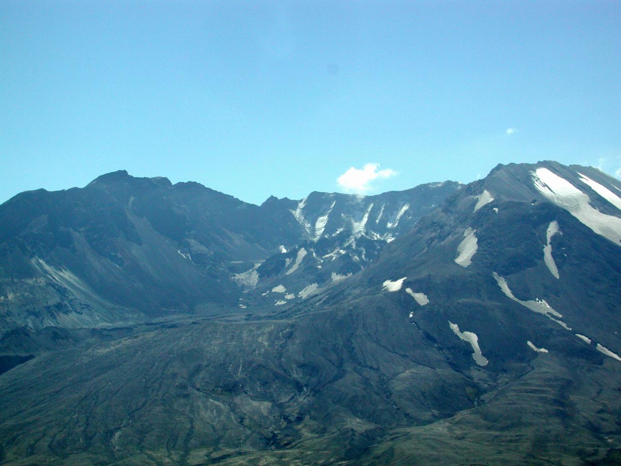
The visitor centre is a little closer to facing the collapsed side of the mountain. It's also a little higher, giving a better view of the lava dome building a new mountain inside the crater.
This is a closer view of the dome.
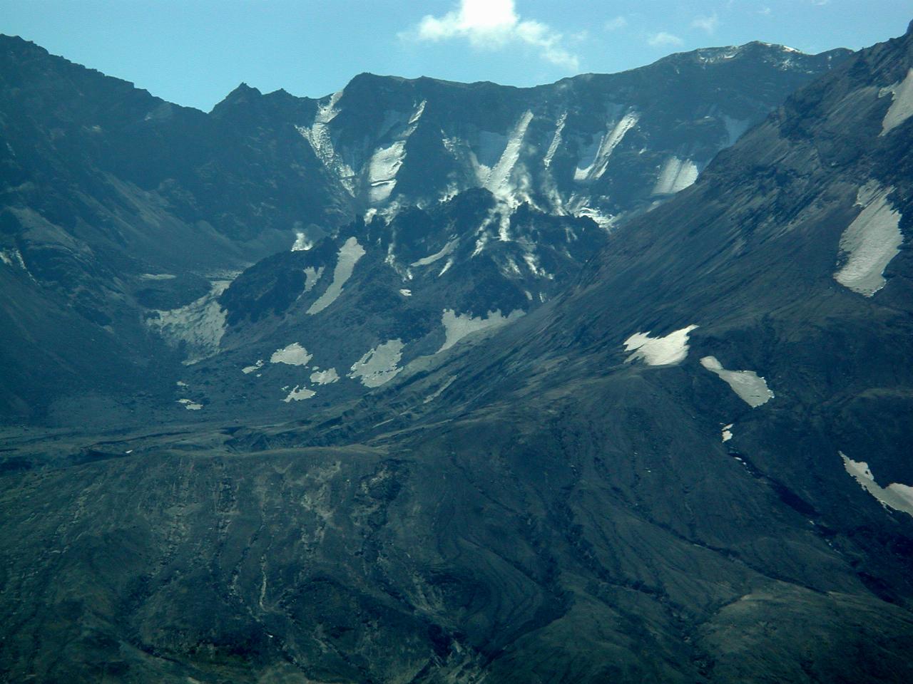
A close up of the dome. You can see the steam rising from it, and also one of the clouds building up. There's even some snow still left, in late August. It is, of course, on the north (least sunny) side of the mountain.
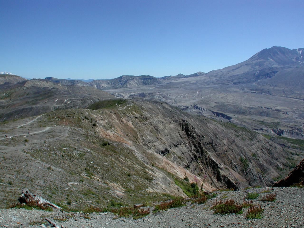
A wide angle view, showing the top of the mountain, and just poking up on the far left, Mt. Adams, which is east of Mt. St. Helens. The Windy Ridge viewing area is also visible in this photo, but is indicated by the arrow in large version of the image below
File matching: NOTHING FOUND
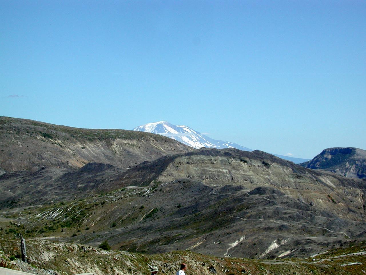
Mt. Adams, just poking above the hills which form the western edge of Spirit Lake. The view (of Mt. Adams) from the Windy Ridge lookout is excellent.
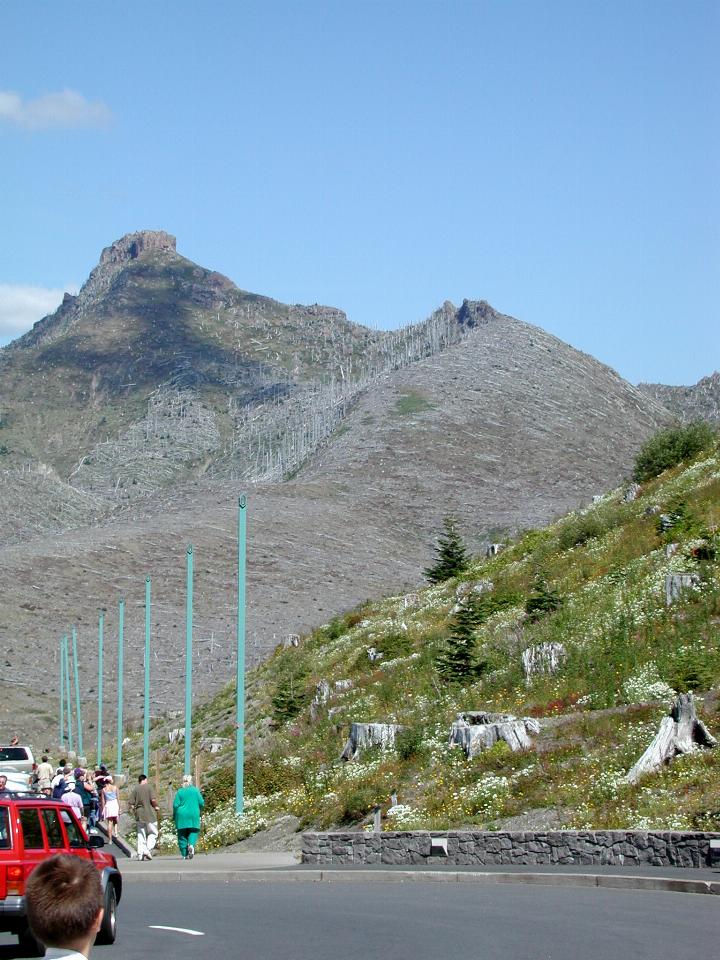
This is the mountain behind the new visitor centre. In case you can't tell, there are dead, standing trees on the left of the ridge, and dead flattened trees on the right (these are a little more obvious in the larger image). These were affected by the blast, which flowed over Johnson Ridge. There were two components - the actual rock and dirt from the side of the mountain, then a pyroclastic flow - hot gas and rock. The former flattened the trees; the latter stripped the others, and killed them. As the larger image shows, the "protected" side of Johnson Ridge is recovering quite nicely. It was partially protected from the blast effects, whereas the hill in this image was in the direct path.
And there are some aerial views from a trip to San Diego earlier this year.