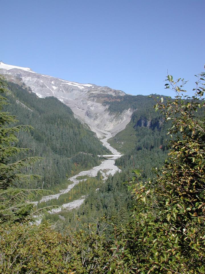

The Nisqually River runs west then north, entering Puget Sound just north of Olympia, the state capital. (Olympia is south of Tacoma, which in turn is south of Seattle.) The river is fed from the Nisqually Glacier on Mt. Rainier, which is just poking into the left side of the image. The bridge in the image is the road bridge on the way west. This was taken from near (but not at) Ricksecker Point.

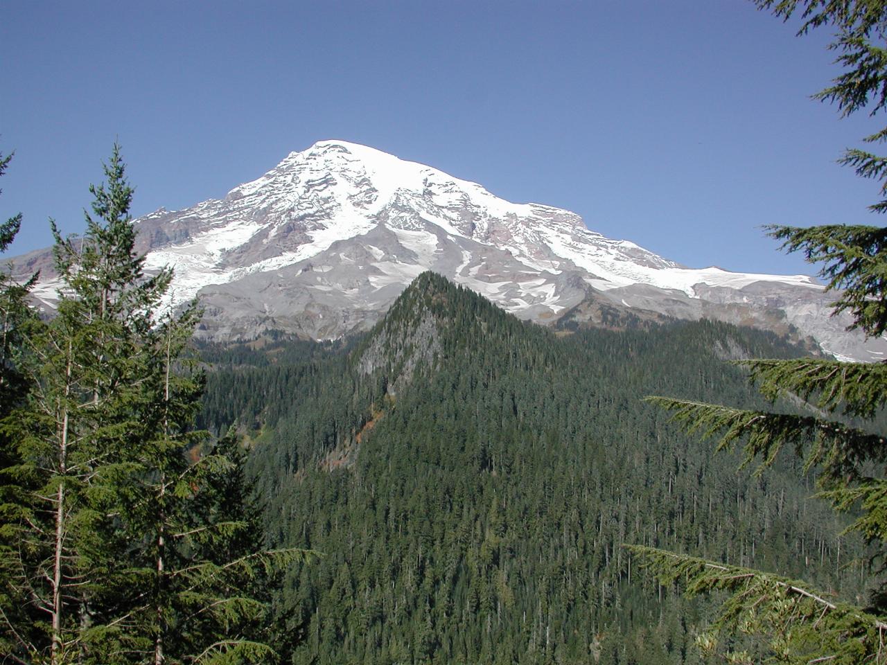
From the same location, looking to the left of the image above. I can't find a name for the peak in the foreground.

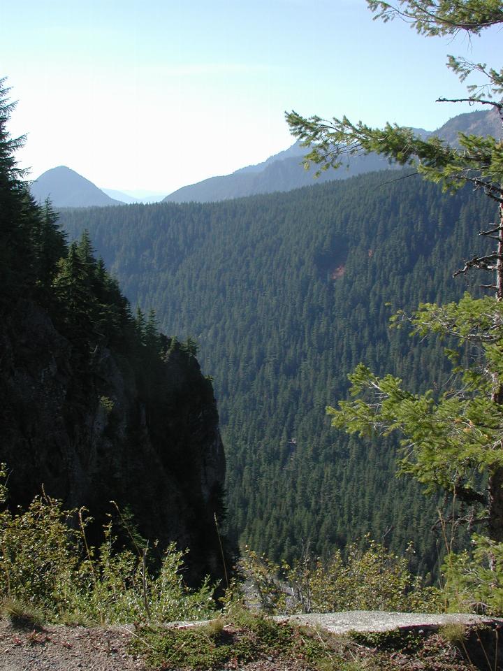
There were signs at this lookout warning not to go over the fence, as there is a sheer drop to the river below. It's a little hard to tell, but the middle bottom of this image shows the Nisqually River a long way down.