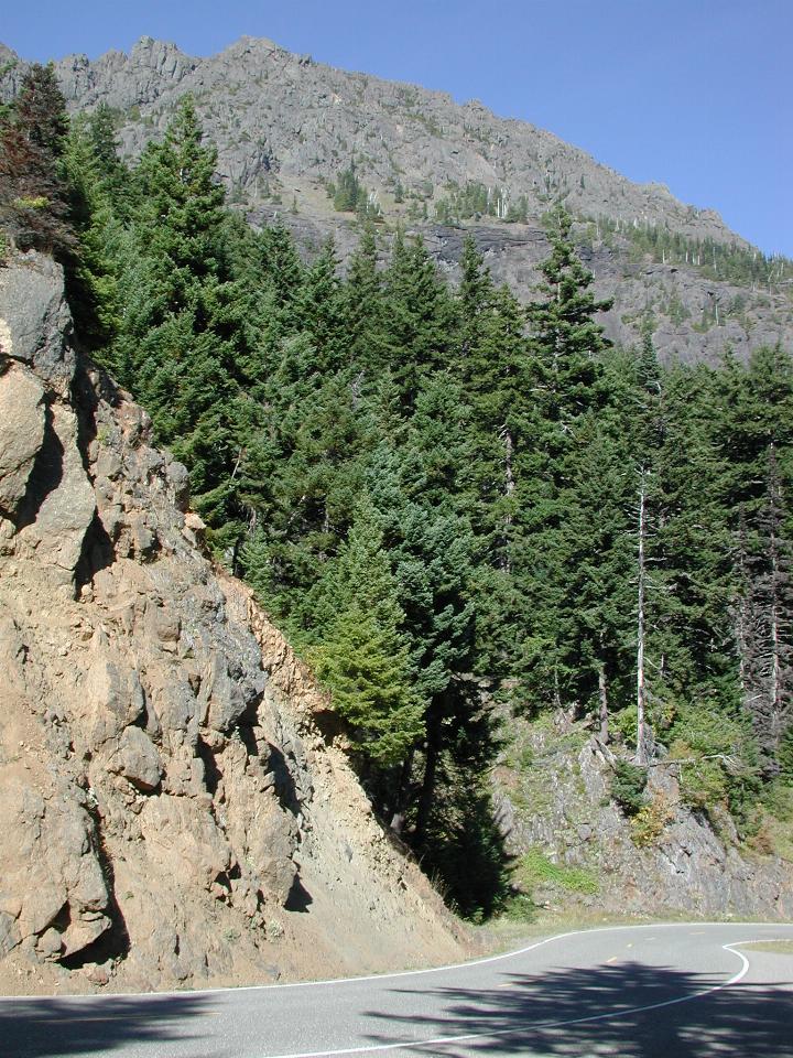
The road down from Hurricane Ridge offers many spectacular views. While, of course, they are also visible on the way up, going up has one's back to the views of the coastal areas.

The road is not very straight! It has numerous twists and turns, with a steep drop off, and few guard rails! I believe this is Burnt Mountain, reaching 4,910 feet.
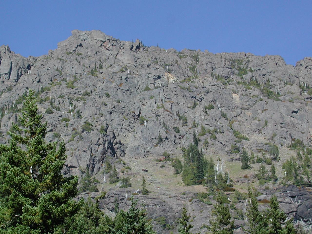
A close up of the peak. Those trees reach a long way up there. It's just amazing they can find anything to grab onto. However, the roots themselves are part of nature's cycle of wearing the mountains down.
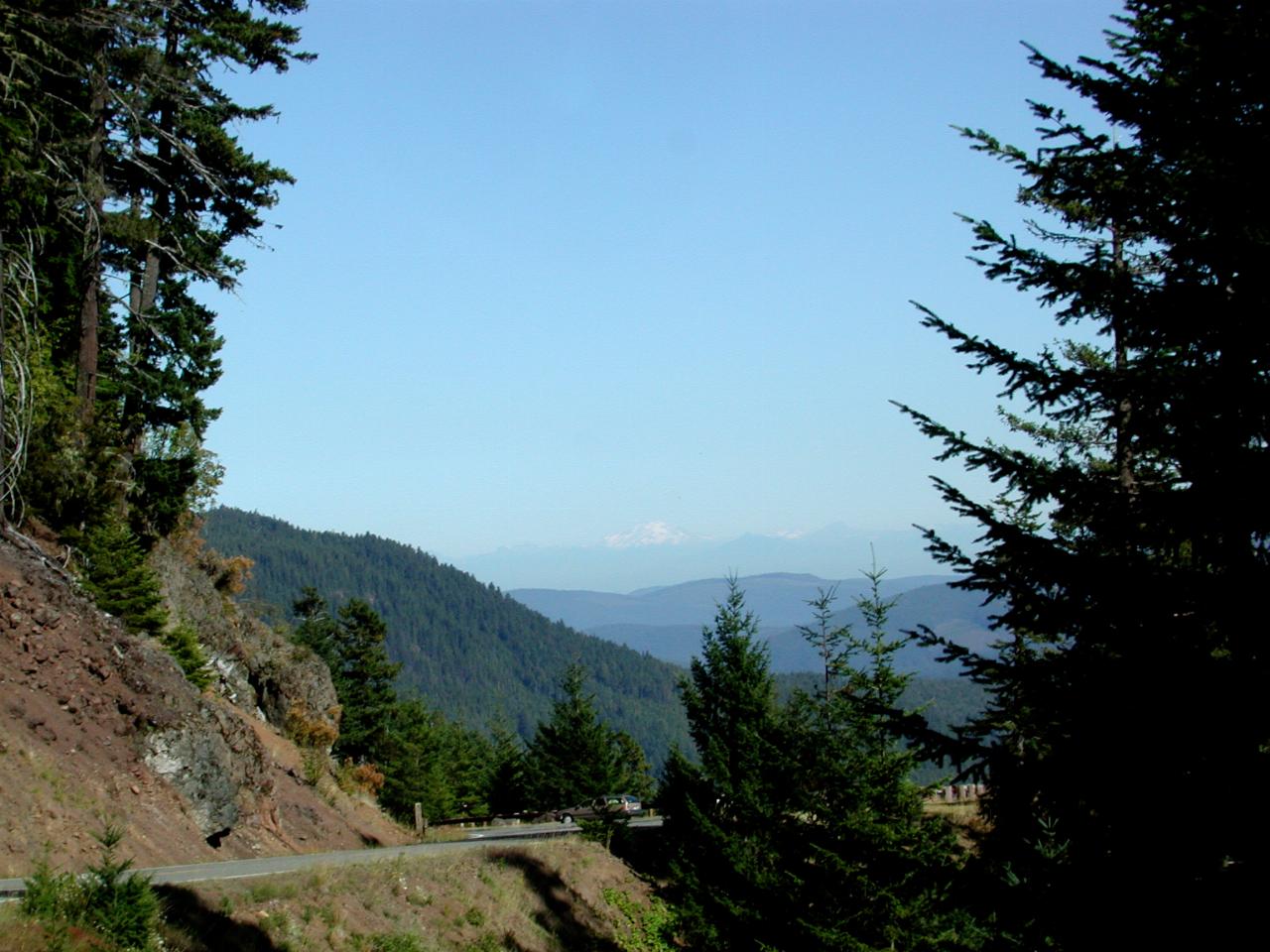
Another stop on the way down. You can just see Mt. Baker, about middle of image.
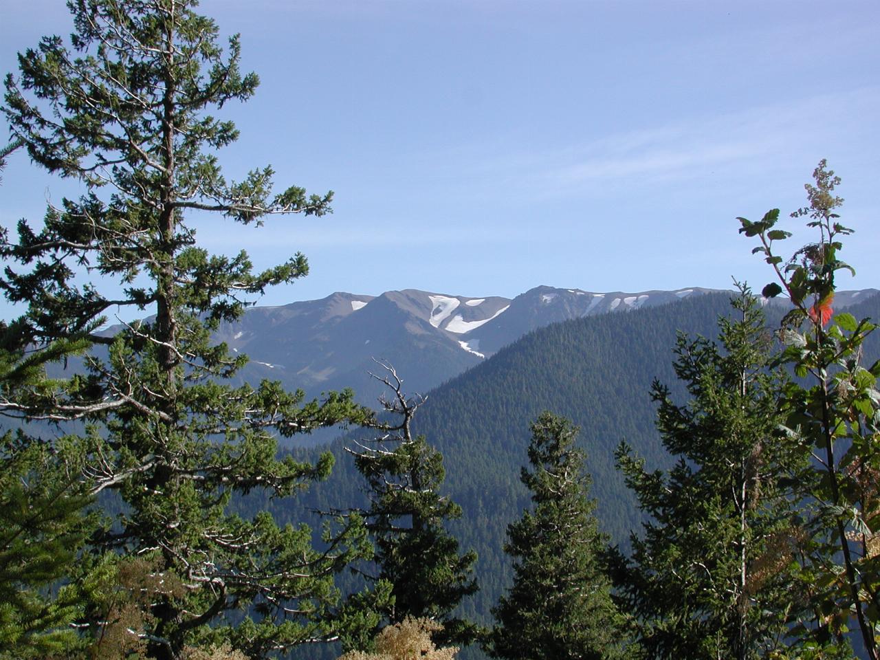
Still some snow around. A notice at Hurricane Ridge recorded a snowfall of 64 feet in 1998/1999, the really wet/cold winter. The 1999/2000 winter was normal, at 32 feet. (Figures from memory; treat them as you will.) Also the autumnal colours are starting on the tree on the right.
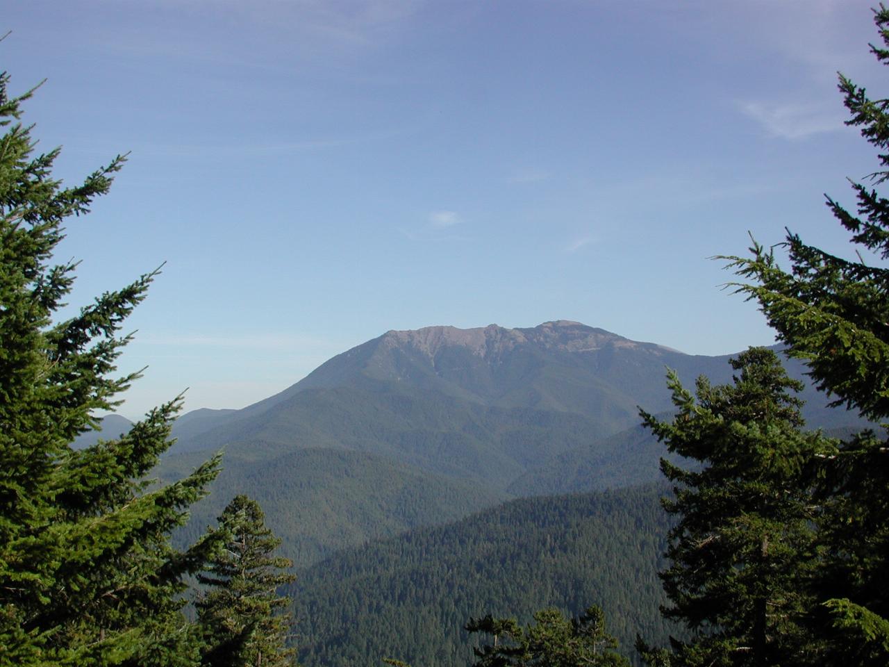
Green Mountain, elevation 5622 feet. It's not all that visible in this image, but there is a 'scar' running diagonally across the face of this mountain. It looked for all the world as though somebody had built a road up there, although that seems most unlikely.
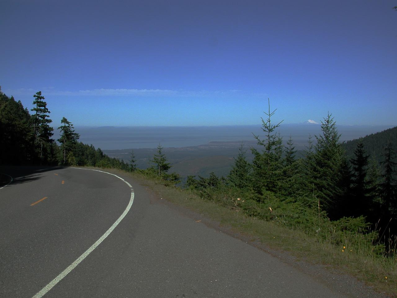
A general view, showing Mt. Baker (between the two trees on the right), Sequim (pronounced Skwim), the Strait of Juan de Fuca, and Vancouver Island.
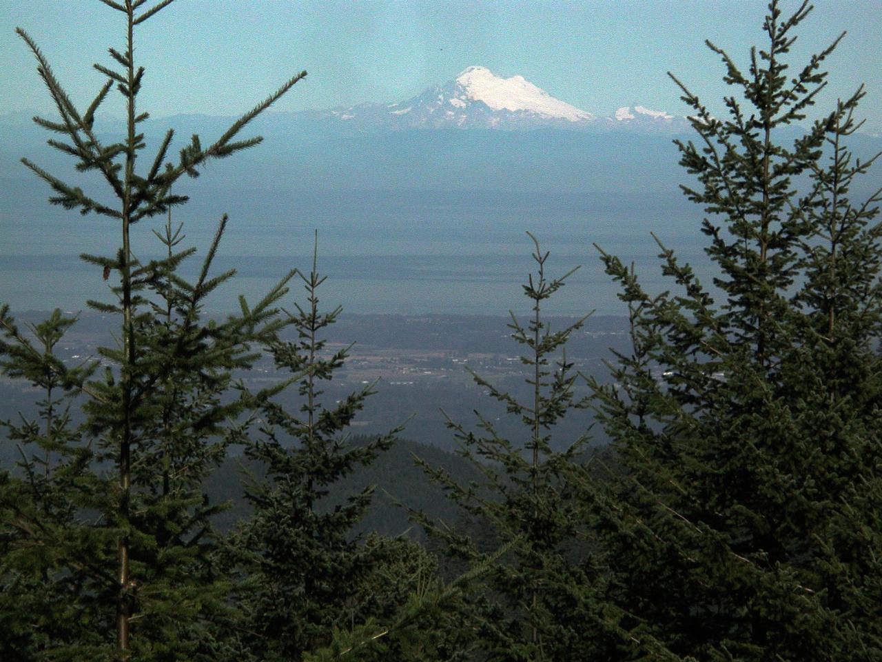
Sequim, the San Juan Islands, Mt. Baker in the distance.
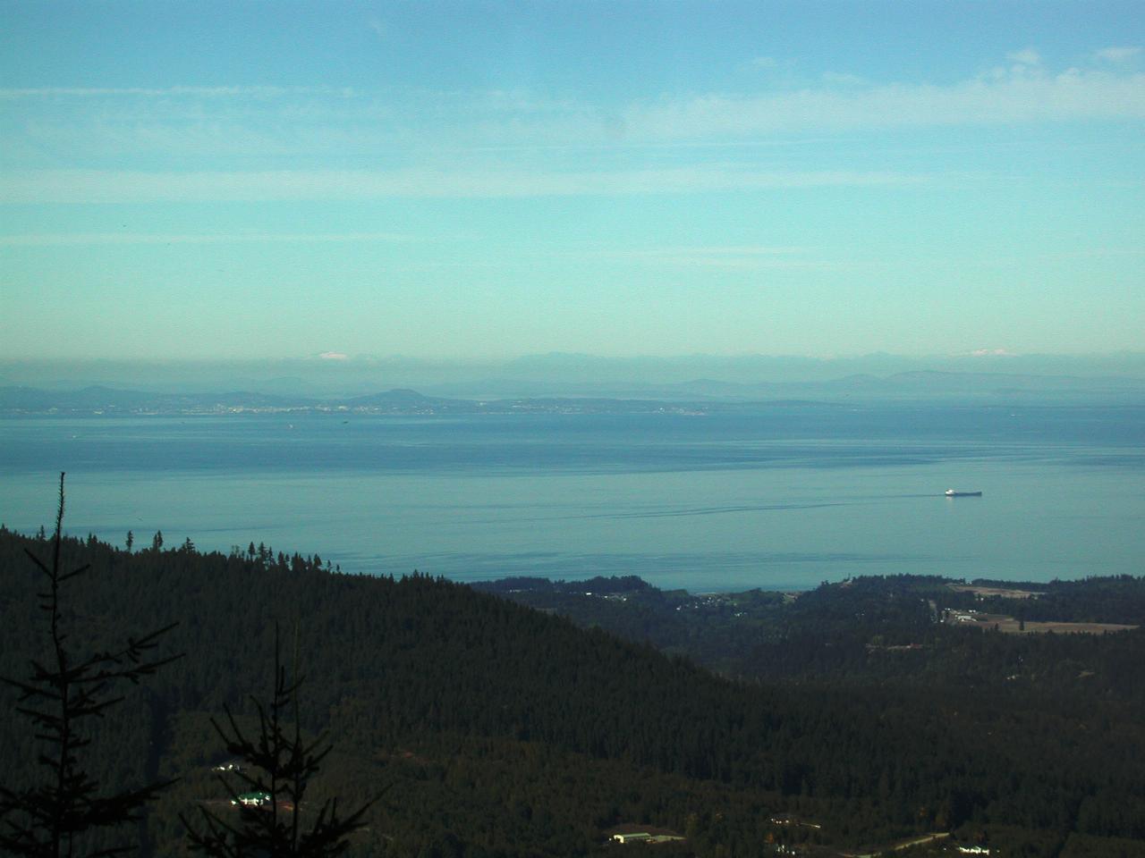
A freighter making it's way along the Strait of Juan de Fuca. Also visible, though only just in the larger image, is Victoria, the capital of British Columbia, located on Vancouver Island. It's the slightly lighter area about middle left of image. Also visible is the outskirts of Port Angeles.
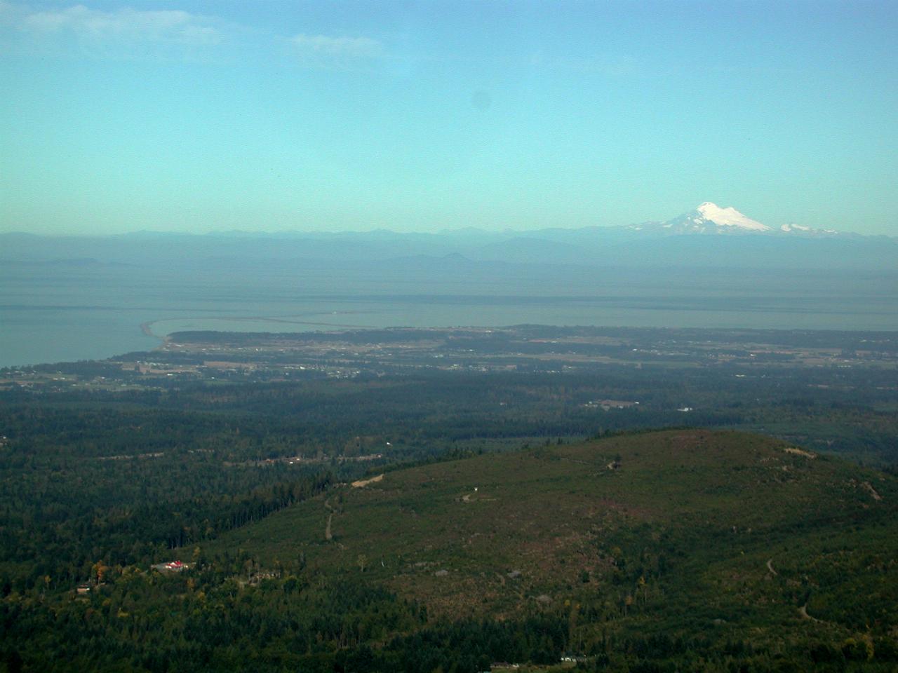
Mt. Baker in the distance, overlooking Sequim, and the Dungess Bay area. just near Sequim.