The top of the roof of the Visistor Centre at Hurricane Ridge is exactly 5,280 feet (or one mile, 1.61 km) above sea level. Easy to remember. SO, these photos were taken a little below that.

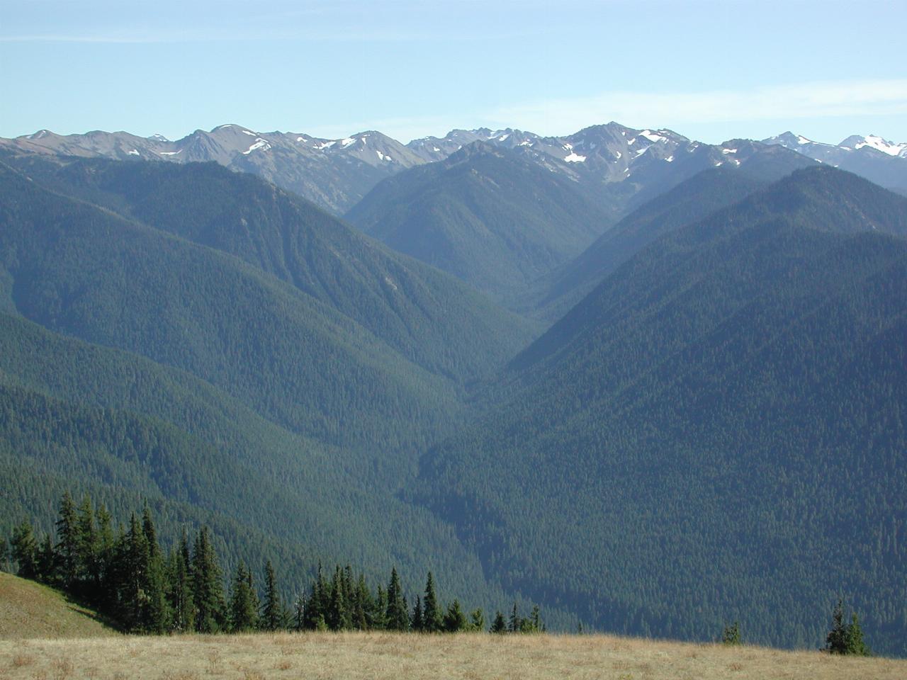
Looking south from the Visitor Center, I believe this valley contains the Lillian River, which flows into the Elwha river. Obviously very dense forest.
The Olympic Mountains are formed by the Juan de Fuca plate, under the Pacific Ocean, subducting and pushing east underneath here. It has a long history of major earthquakes, occuring about every 400 years. The last one was in January 1770, or thereabouts. It's precise date was determined from the records of the tsunami in Japan, matching with the record of ocean flooding and retreat along the Washington coast.

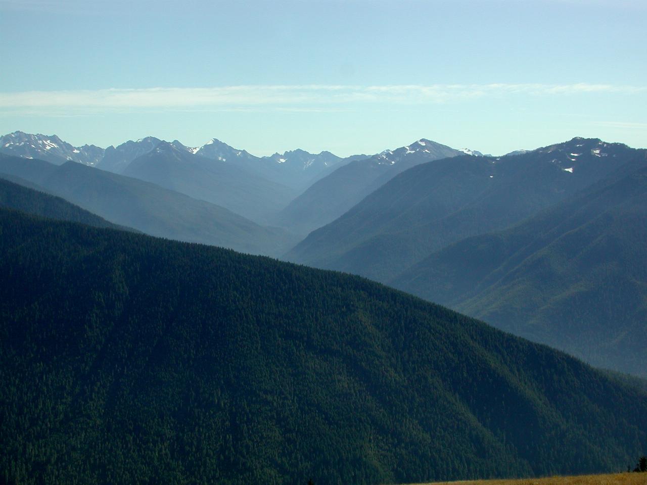
The next valley west is that of the Elwha River, flowing into the dam on the previous page.

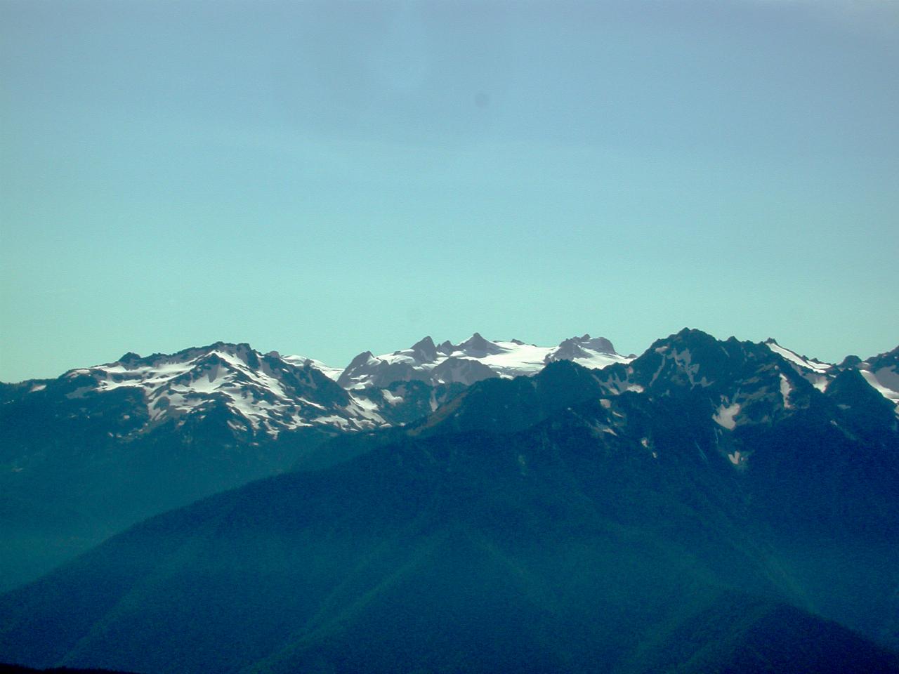
The white peak in the middle is Mt. Olympus, the highest peak in the Olympic Mountains. But at "just" 7965 feet, it is not all that tall by local standards. Note that there are no volcanoes in Olympic National Park. All these mountains have resulted from the common mountain building system of colliding land masses.

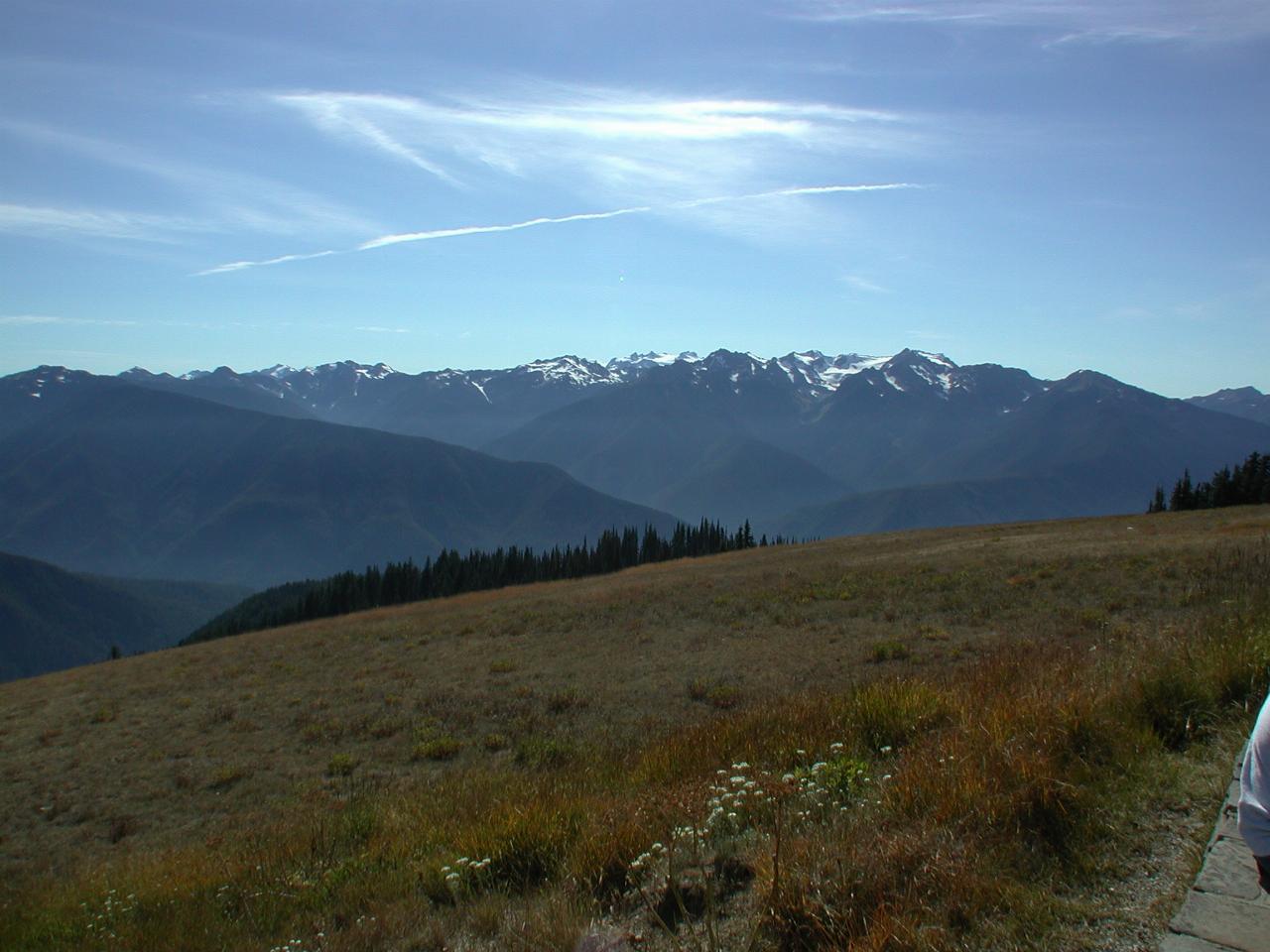
A wide angle view, centred on Mt. Olympus (about middle of picture), and showing the Elwha River valley on the left, and the Long Creek valley in the centre.